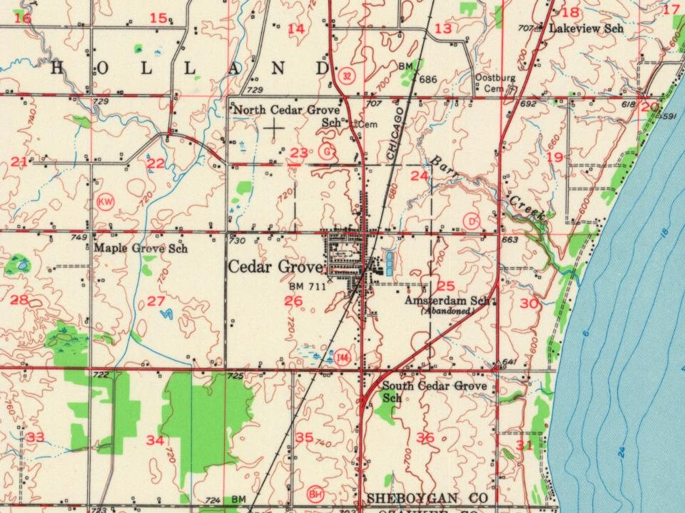
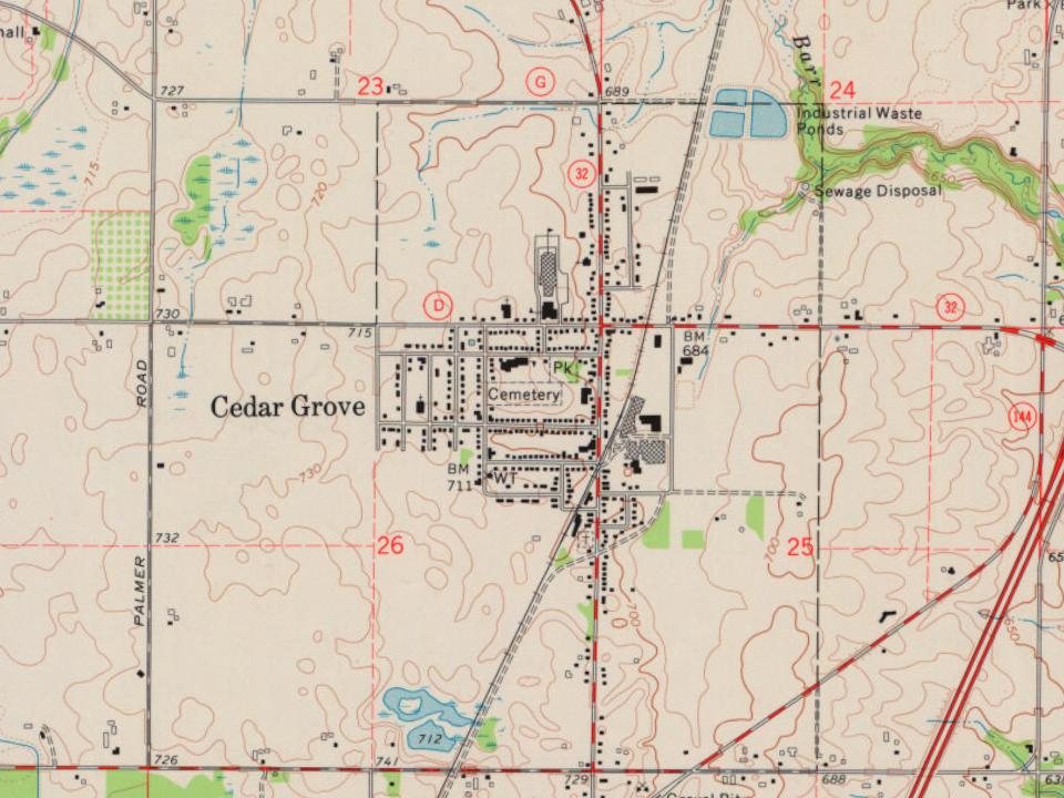
Founding year: the first Cedar Grove post office (Blevins & Helbock, CC0).The full story ↓
History grade
What drives Cedar Grove’s History grade
On its age, its old homes and the National Register, Cedar Grove is more historic than 78% of U.S. towns. All 3 inputs are above most U.S. towns; its age ranks highest and its National Register listings lowest.
A−
HistoryA character grade: shown, never part of Cedar Grove’s overall grade.
Wisconsin towns list more on the Register than most of the country (a typical Wisconsin town has 3.0 per 10,000 residents, the U.S. 2.4), so Cedar Grove’s 4.2 sits near the middle of its state (64% of Wisconsin towns have fewer) while its 1 listings outnumber those of 51% of U.S. towns.
How sure. Graded on any two of the three inputs instead, the letter would range from B+ to A−. The pre-1940 share is a Census survey estimate (±4.8 points). The founding year is the first post office, not a stated founding date.
Founding year: the first post office (other dates in Quick answers). Homes: Census ACS 2020–24. National Register: National Park Service, May 2026 list; each listing counted once (boundary changes and added documentation belong to their listing), and a historic district counts its contributing buildings. How TownRatings grades history →
What stands out about Cedar Grove’s past
Read from the archive, the National Register and the record. The page puts what stands out first.
A post office called Cedar Grove has been in operation since 1849. The village was named from groves of cedar near the town site. The town was originally along Lake Michigan until railway lines came through the present site of Cedar Grove.
Passages that mention Cedar Grove, cut from the printed page as they were published.
History of Sheboygan County, Wisconsin, past and present1912Read the page →
Read the text
answered their prayers, and blessed them with prosperity and peace. The settlement grew rapidly in numbers and extent, until at present it embraces almost all of Holland township, as well as other parts of Sheboygan county, and comprises the villages of Cedar Grove, Gibbsville, Hingham and Oostburg, while also a goodly number of Hollanders live in the city of Sheboygan.
Text read by machine from the scan; it may contain errors.
History of Sheboygan County, Wisconsin, past and present1912Read the page →
Read the text
by the Rev. J. J. Van Zanten, pastor of the Reformed Church at Cedar Grove, at the time. Temporary instruction was immediately begun in the chapel of the church, under his supervision. Upon decision of the Qassis of Wisconsin, Cedar Grove was selected as a permanent location for the academy, and steps were taken at once to incorporate the school, secure a site and erect a building.
Text read by machine from the scan; it may contain errors.
Scans and text from the Internet Archive. Books published in 1930 or earlier, which are in the public domain.
By decade
Cedar Grove, decade by decade
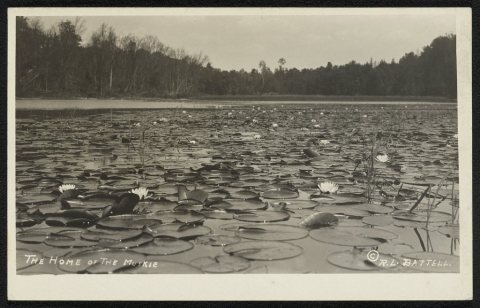
One decade in the archive so far: the 1910s. Scroll each row; tap a photo for its story.
Nothing in the archives for these yearsWeddings on Main Street, storms, parades, school pictures, the old store. If it’s in your family album, it belongs here.
National Park Service, National Register of Historic Places. Photos from Wikimedia Commons, credited on each place’s page.
People over time
Cedar Grove, census by census
Between 327 and 2,113 people in every census since 1900.
13 censuses, 1900–2020.
U.S. Census Bureau decennial counts, from the census table on Cedar Grove’s Wikipedia page.
Questions about Cedar Grove’s history
What year was Cedar Grove founded?
The Cedar Grove post office opened in 1849, the earliest record of the town by name (U.S. post office records).
How does Cedar Grove rank for history?
Cedar Grove is more historic than 78% of U.S. towns. The History grade combines the town’s founding era, the share of homes built before 1940 and its National Register listings. It’s a character grade, so it isn’t part of the overall grade. How it works.
What is on the National Register in Cedar Grove?
One place: the ATLANTA (steam screw) Shipwreck (listed 2017).
How old are the homes in Cedar Grove?
18% of Cedar Grove’s homes were built before 1940 (Census estimate, ±4.8 points), against a typical 12% for a Wisconsin town; the median home was built in 1980.
Founding dates: Wikidata, Wikipedia, the U.S. post office records of Blevins & Helbock (CC0) and the Census. Homes by year built: Census ACS 2020–24. National Register of Historic Places: National Park Service (list of May 22, 2026). Old photos, postcards and papers: Wikimedia Commons, the Library of Congress and other public archives, credited on each item’s page. Maps: U.S. Geological Survey historical topographic maps (via Esri) and Sanborn fire-insurance maps (Library of Congress). History text and census tables: Wikipedia (CC BY-SA 4.0). Places that used to be: USGS Geographic Names Information System (2021).
From the Library of Congress (2), the National Register of Historic Places (1), Wikipedia, U.S. Geological Survey historical maps, U.S. Census counts (via Wikipedia), the US Post Offices dataset (Blevins & Helbock), the USGS Geographic Names Information System and old county and town histories (Internet Archive). Archive images are copied here with their credits and licenses, shown on each photo’s page. Refreshed monthly.

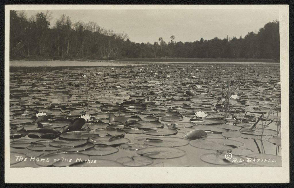



 1910