More historic than 9% of U.S. towns · #239 of 285 in Washington. What drives it
Most of Pacific was built recently: 3% of its homes predate 1940 and the median home dates from 1987. Below: maps from 1897 on and the census since 1910.
Founding year: the first Pacific post office (Blevins & Helbock, CC0).The full story ↓
History grade
What drives Pacific’s History grade
On its age, its old homes and the National Register, Pacific is more historic than 9% of U.S. towns, #239 of 285 in Washington. Its National Register listings hold the grade up; its age pulls it down.
D
HistoryA character grade: shown, never part of Pacific’s overall grade.
Few Washington towns list much on the Register (a typical Washington town has 0.1 per 10,000 residents, the U.S. 2.4), so Pacific’s 0.0 sits below most of its state (27% of Washington towns have fewer) while its 0 listings outnumber those of 23% of U.S. towns.
How sure. Graded on any two of the three inputs instead, the letter would still be D. The pre-1940 share (±2.9 points) is firm at this size. The founding year is the first post office, not a stated founding date.
Founding year: the first post office (other dates in Quick answers). Homes: Census ACS 2020–24. National Register: National Park Service, May 2026 list; each listing counted once (boundary changes and added documentation belong to their listing), and a historic district counts its contributing buildings. How TownRatings grades history →
What stands out about Pacific’s past
Read from the archive, the National Register and the record. The page puts what stands out first.
Pacific was platted on April 10, 1906, by real estate promoter Clarence Dayton Hillman as "C.D. Hillman's Pacific City Addition to the City of Seattle". The development would take advantage of the nearby Puget Sound Electric Railway, which provided connections to Seattle and Tacoma. It was officially incorporated as a town on August 10, 1909.
In 1995, it annexed a portion of unincorporated Pierce County.
Record-breaking rains in November 2006 pushed the White River over its river banks along Pacific City Park, creating a temporary 25-acre (100,000 m2) lake.
Same lst-3d, 5th ed 1914-17, 1919 P 2968 Title varies: 1914, Terminal facilities of North Pacific ports; 1915, North Pacific ports; 1917-18, Frank Waterhouse & company's Pacific ports; 1919, Annual number of Pacific ports; 1920, Pacific ports manual Pacific publishing company Southwestern Washington; its topography,
Text read by machine from the scan; it may contain errors.
Incidents of a trip through the great Platte Valley to the Rocky Mountains and Laramie Plains, in the fall of 1866 with a synoptical statement of the various Pacific railroads, and an account of the great Union Pacific railroad excursion to the one hundredth meridian. 129p ed 2 NY Van Nostrand 1867 Mu 3619
Text read by machine from the scan; it may contain errors.
Scans and text from the Internet Archive. Books published in 1930 or earlier, which are in the public domain.
Timeline
Pacific, 1897 to 1971
Woven from the archive, old maps, post office records, the National Register and the people born here.
The Pacific post office opened in 1906, the earliest record of the town by name (U.S. post office records).
How does Pacific rank for history?
Pacific is more historic than 9% of U.S. towns, #239 of 285 in Washington. The History grade combines the town’s founding era, the share of homes built before 1940 and its National Register listings. It’s a character grade, so it isn’t part of the overall grade. How it works.
How old are the homes in Pacific?
3% of Pacific’s homes were built before 1940 (Census estimate, ±2.9 points), against a typical 4.3% for a Washington town; the median home was built in 1987.
Founding dates: Wikidata, Wikipedia, the U.S. post office records of Blevins & Helbock (CC0) and the Census. Homes by year built: Census ACS 2020–24. National Register of Historic Places: National Park Service (list of May 22, 2026). Old photos, postcards and papers: Wikimedia Commons, the Library of Congress and other public archives, credited on each item’s page. Maps: U.S. Geological Survey historical topographic maps (via Esri) and Sanborn fire-insurance maps (Library of Congress). History text and census tables: Wikipedia (CC BY-SA 4.0). Places that used to be: USGS Geographic Names Information System (2021).
From Wikimedia Commons (2), Wikipedia, U.S. Geological Survey historical maps, U.S. Census counts (via Wikipedia), the US Post Offices dataset (Blevins & Helbock), the USGS Geographic Names Information System and old county and town histories (Internet Archive). Archive images are copied here with their credits and licenses, shown on each photo’s page. Refreshed monthly.
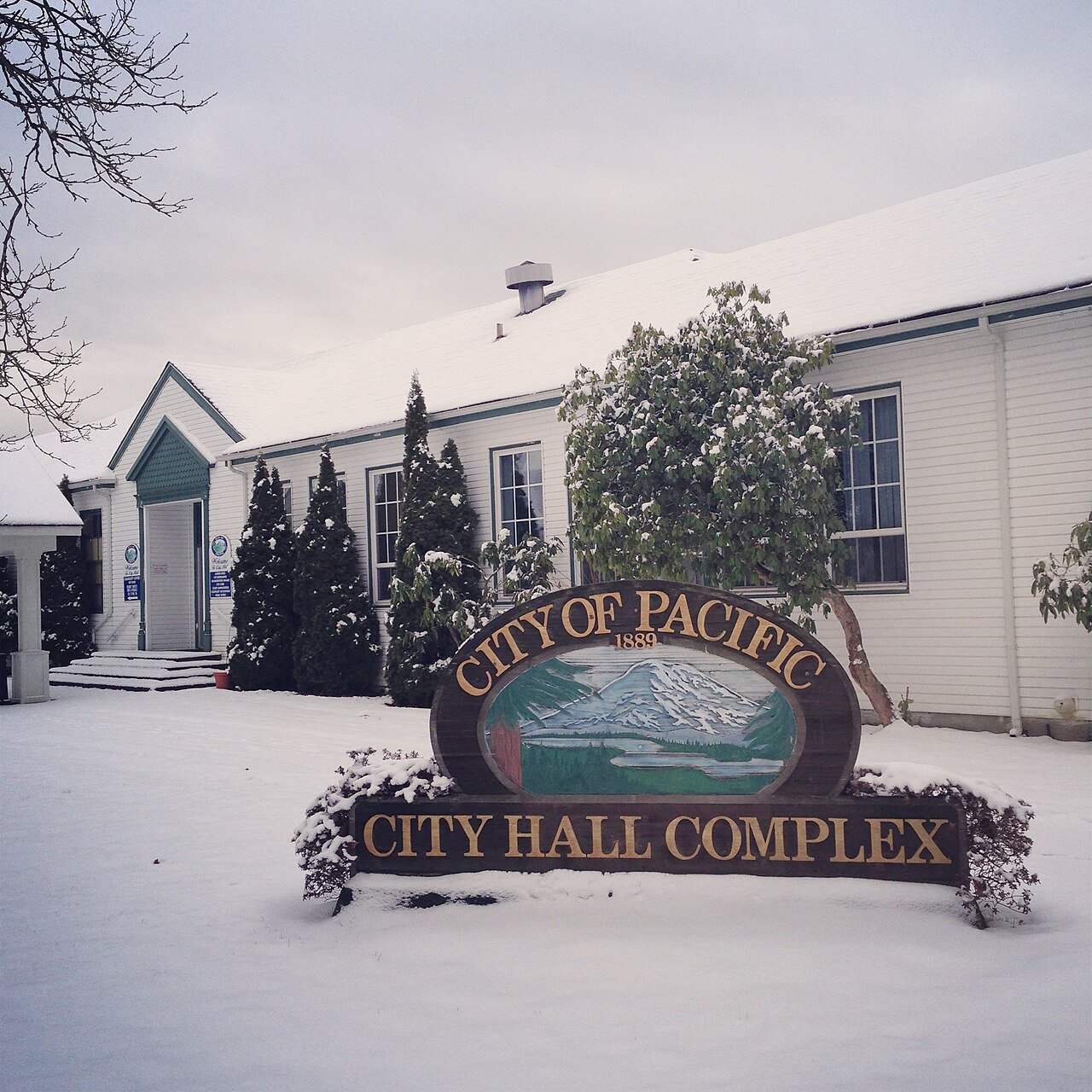


 2014
 2007


