Founding year: Wikidata; Wikipedia’s history section gives the same year. First post office: 1828.The full story ↓
History grade
What drives Northfield’s History grade
On its age, its old homes and the National Register, Northfield is more historic than 86% of U.S. towns, #44 of 71 in Vermont. All 3 inputs are above most U.S. towns; its share of homes from before 1940 ranks highest and its National Register listings lowest.
A
HistoryA character grade: shown, never part of Northfield’s overall grade.
Vermont towns list more on the Register than most of the country (a typical Vermont town has 147 per 10,000 residents, the U.S. 2.4), so Northfield’s 15.2 sits below most of its state (29% of Vermont towns have fewer) while its 9 listings outnumber those of 75% of U.S. towns.
How sure. Graded on any two of the three inputs instead, the letter would range from B+ to A. The pre-1940 share is a Census survey estimate (±6.7 points). Two sources give 1781.
Founding year: Wikidata (other dates in Quick answers). Homes: Census ACS 2020–24. National Register: National Park Service, May 2026 list; each listing counted once (boundary changes and added documentation belong to their listing), and a historic district counts its contributing buildings. How TownRatings grades history →
What stands out about Northfield’s past
Read from the archive, the National Register and the record. The page puts what stands out first.
Lost a third of its people between 1860 and 1890, then more than doubled.
23 censuses, 1800–2020.
U.S. Census Bureau decennial counts, from the census table on Northfield’s Wikipedia page.
Every building
Northfield, building by building, 1885–1919
Fire insurance maps drew every building, what it was made of and what it was used for, so insurers could price the risk of fire. Pick a year, then a sheet.
Northfield was chartered in 1781. The community was named after Northfield, Massachusetts.
Northfield, was settled between 1785 and the 1820s by Yankees from Connecticut, Massachusetts, and older Vermont towns. The period saw the development of four distinct villages: South Village, Center Village, Factory Village, and Northfield Falls. South Village, with numerous small businesses, became the first to have a distinct identity. Center Village followed, where the first post office, town clerk’s office, and churches were established, coming to serve as Northfield's social and political center. Factory Village (now the village of Northfield), named for the woolen mill, developed next. Lastly, Northfield Falls thrived by the late 1820s.
Passages that mention Northfield, cut from the printed page as they were published.
The History of Washington County in the Vermont historical gazetteer1882 · page 659Read the page →
Read the text
The proprietors of Northfield, at a meeting held at Burch's Inn, in Hartford, Vt., 2d Tues. of Nov. 1784, voted he should have the privilege of pitching 200 or 400 acres of land in Northfield at his option, on condition he would build a good sawmillin said Northfield within 18 months, and a grist-mill in a year. He built the
Text read by machine from the scan; it may contain errors.
The history of Washington county, in the Vermont historical gazetteer1882 · page 659Read the page →
Read the text
The proprietors of Northfield, at a meeting held at Burch's Inn, in Hartford, Vt., 2d Tues. of Nov. 1784, voted he should have the privilege of pitching 200 or 400 acres of land in Northfield at his option, on condition he would build a good sawmill in said Northfield within 18 months, and a grist-mill in a year. He built the
Text read by machine from the scan; it may contain errors.
The history of Washington county, in the Vermont historical gazetteer1882 · page 640Read the page →
Read the text
almon weatherbee moved from Moretown to Northfield in 1S45 ; worked for Governor Paine in his factory and grist-mill. He built the house where his family now live — the first house on that hill. He was killed Dec. 1 1, 1867, in the terrible railroad disaster at Harlow Bridge. He was an industrious and good
Text read by machine from the scan; it may contain errors.
The History of Washington County in the Vermont historical gazetteer1882 · page 735Read the page →
Read the text
son's house by John Stafford's and Wilcox's to Warren ; Samson Nichols surveyor. In 1802, the road through the middle of the town, from Northfield to Brookfield, was laid out, 6 rods wide. A road was surveyed from Northfield to Brookfield through the east part of the town, in 1802. In 1806, the road was laid from
Text read by machine from the scan; it may contain errors.
Scans and text from the Internet Archive. Books published in 1930 or earlier, which are in the public domain.
Timeline
Northfield, 1781 to 2010
Woven from the archive, old maps, post office records, the National Register and the people born here.
Nothing in the archives for these yearsWeddings on Main Street, storms, parades, school pictures, the old store. If it’s in your family album, it belongs here.
In 1781, according to Wikidata and Wikipedia’s history of the town. Northfield’s post office opened in 1828, and the census of 1800 counted 204 people here.
How does Northfield rank for history?
Northfield is more historic than 86% of U.S. towns, #44 of 71 in Vermont. The History grade combines the town’s founding era, the share of homes built before 1940 and its National Register listings. It’s a character grade, so it isn’t part of the overall grade. How it works.
What is on the National Register in Northfield?
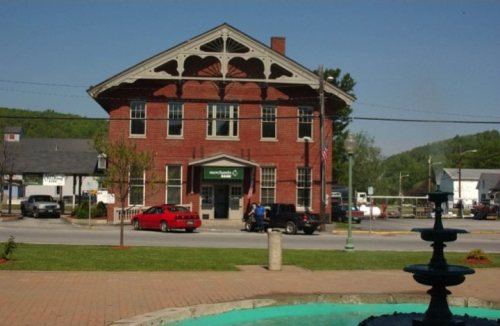
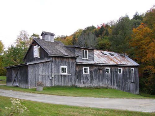
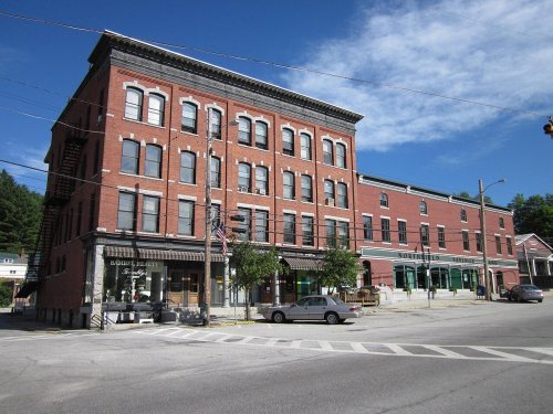
9 listings: 4 buildings and 5 structures.
How old are the homes in Northfield?
40% of Northfield’s homes were built before 1940 (Census estimate, ±6.7 points), against a typical 22% for a Vermont town; the median home was built in 1956.
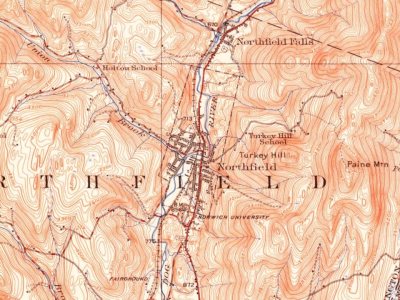
Founding dates: Wikidata, Wikipedia, the U.S. post office records of Blevins & Helbock (CC0) and the Census. Homes by year built: Census ACS 2020–24. National Register of Historic Places: National Park Service (list of May 22, 2026). Old photos, postcards and papers: Wikimedia Commons, the Library of Congress and other public archives, credited on each item’s page. Maps: U.S. Geological Survey historical topographic maps (via Esri) and Sanborn fire-insurance maps (Library of Congress). History text and census tables: Wikipedia (CC BY-SA 4.0). Places that used to be: USGS Geographic Names Information System (2021).
From Wikimedia Commons (18), the National Register of Historic Places (9), Wikipedia, Wikidata and Wikipedia for famous people, U.S. Geological Survey historical maps, U.S. Census counts (via Wikipedia), the US Post Offices dataset (Blevins & Helbock), the USGS Geographic Names Information System, Sanborn fire insurance maps (Library of Congress) and old county and town histories (Internet Archive). Archive images are copied here with their credits and licenses, shown on each photo’s page. Refreshed monthly.

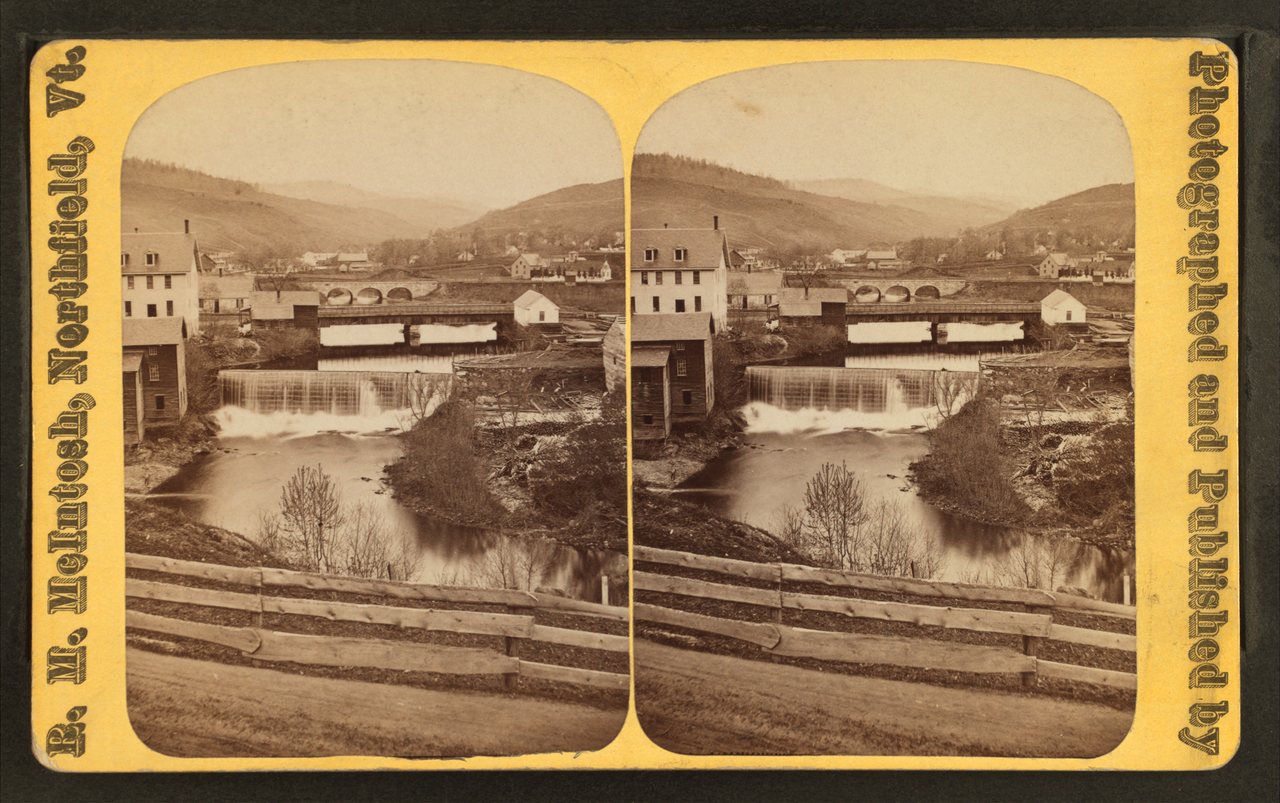





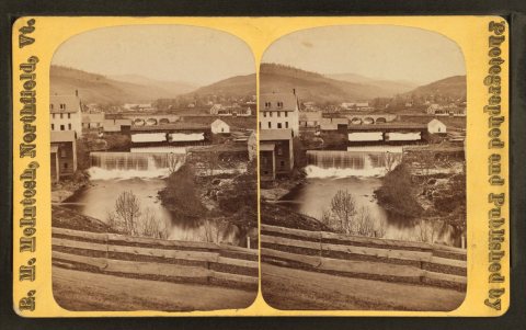 c. 1875
 2006
 2006
 2006
 2006
 2006
 2006
 2006
 2006
 2006
 2006
 2006
 2006
 2004