
Downtown, 2011
Saumsville’s story
168 years in pictures
The archive holds 2 old photos and papers going back to 2011 and a map from 1986 on.
- 1858Saumsville is settled
Each edition grades its towns against each other only.
A town in Virginia.
Among 254 Virginia towns, just one has a lower January low than Saumsville. We don’t grade Saumsville yet; the figures below are still real.
The archive holds 2 old photos and papers going back to 2011 and a map from 1986 on.
Ordered by what stands out in Saumsville.
The FEMA risk score for Saumsville is 69 of 100. Of the losses FEMA expects here, 72% come from inland flooding and 10% from hurricanes.
FEMA National Risk Index · OpenFEMA
A July afternoon gets to about 86° and a January night to 23°, and about 24 inches of snow fall in a winter.
NOAA U.S. Climate Normals, 1991–2020
Museums, parks, gardens and other places to visit around Saumsville. Close and well known come first.
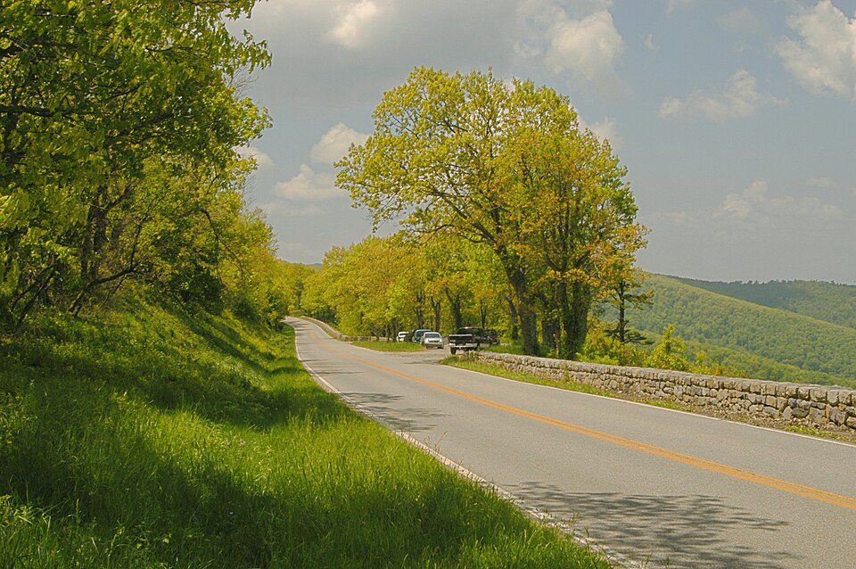 12 mi National ParkShenandoah National Park1.7M visitors a year
 Big draw34 mi LandmarkMount Weather Emergency Operations Center
 19 mi CaveLuray Caverns27 mi Scenic driveSkyline Drive
 40 mi Ski areaMassanutten Resort22 runs · 1,064 ft vertical18 mi Zoo & aquariumSmithsonian Conservation Biology Institute
Shenandoah National Park: Image copyright 2005 by user G. Edward Johnson (user Lorax) and released under t, CC BY-SA 3.0 · Mount Weather Emergency Operations Center: Unknown, Public domain · Luray Caverns: Paulo Ordoveza from Washington, DC, CC BY 2.0 · Skyline Drive: Image copyright 2005 by user G. Edward Johnson (user Lorax) and released under t, CC BY-SA 3.0 · Massanutten Resort: Arbogastlw at English Wikipedia, Public domain
Who provides power, water and the rest in Saumsville, and how to reach them.
EPA SDWIS (Oct 9, 2026) · HIFLD + EIA-861 2025 · Census 2020 ZCTAs · NCES 2024–25 · registration: vote.gov, updated Sep 30, 2026.
1 within 15 miles of the center of Saumsville
CDP in Virginia, United States
Saumsville is a CDP in Shenandoah County, Virginia, United States. Saumsville is located approximately 3.7 miles (6.0 km) north of Woodstock and 8.4 miles (13.5 km) southwest of Strasburg.
From Wikipedia, licensed CC BY-SA 4.0 · facts via Wikidata (CC0)
Short answers, built from the data on this page.
We don’t grade Saumsville yet; the figures below are still real. A town in Virginia.
Ask a question, answer one, post a photo or an event. Free, and the parts only a neighbor would know are the parts worth reading.


