215 years in pictures
The archive holds 6 old photos and papers going back to 2016 and 5 maps from 1935 on.
2 places on the National Register of Historic Places.
- 1811Barboursville is settled
Each edition grades its towns against each other only.

Home to 2 places on the National Register of Historic Places.
Its National Register listings include Barboursville and Castle Hill. Barboursville has fewer than 1,000 residents, too few for fair grades; the figures below are still real.
Where Barboursville beats most towns.
In a town this size, neighbors are the best guide. Ask them anything.
The archive holds 6 old photos and papers going back to 2016 and 5 maps from 1935 on.
2 places on the National Register of Historic Places.
Barboursville is unincorporated, so Orange County and regional agencies provide most services.
EPA SDWIS (Oct 9, 2026) · HIFLD + EIA-861 2025 · Census 2020 ZCTAs · NCES 2024–25 · registration: vote.gov, updated Sep 30, 2026.
Ordered by what stands out in Barboursville.
Expect July afternoons of 88° and January nights of 26°, with about 16 inches of snow a winter.
NOAA U.S. Climate Normals, 1991–2020
Most people who work leave Barboursville to do it: just 2% work in town. The middle household income for Barboursville comes to $54,000, below both the Virginia town median ($102,000) and the median of U.S. towns ($80,000). Half of commuters travel less than 15 miles. The top destinations are Charlottesville (18%), Orange (9%) and Pantops (3%).
| Barboursville | Virginia towns | U.S. towns | |
|---|---|---|---|
| Below the poverty line | 61% | 7.7% | 9.6% |
| Median household income | $54,000 | $102,000 | $80,000 |
| Working residents who work in town | 2.3% | 4.9% | 8% |
Census LEHD 2023 · ACS
The natural-hazard score from FEMA for Barboursville comes to 38 of 100, against 22 of 100 in Virginia’s towns and 44 of 100 across U.S. towns. Of the losses FEMA expects locally, 55% come from inland flooding and 14% from hurricanes. Households locally have drawn federal disaster aid in 2 declared disasters, most recently in 2011.
FEMA disaster declarations and aid · FEMA National Risk Index · OpenFEMA
24% of adults have been diagnosed with depression in Barboursville. Two figures for adults locally: 15% report frequent physical distress, 31% feel lonely.
| Barboursville | Virginia towns | U.S. towns | |
|---|---|---|---|
| High blood pressure (CDC PLACES) | 39% | 33% | 35% |
| Frequent physical distress (CDC PLACES) | 15% | 12% | 14% |
| Feel lonely (CDC PLACES) | 31% | 34% | 33% |
| Obesity (CDC PLACES) | 38% | 34% | 35% |
| What stands out | Barboursville | VA |
|---|---|---|
| More older adults who have lost all their teeth | 16.7% | 11.1% |
| More adults with COPD | 8.2% | 6.2% |
| More adults who have had cancer | 10% | 7.7% |
CDC PLACES 2025 · modeled estimates for adults · CMS · HRSA
The typical home value in Barboursville is about $428,000, up 1.6% in a year, close to the Virginia typical home.
Census ACS, 2020–24 · Zillow Home Value Index · Redfin Data Center
The trail network density in Barboursville is 0.9 miles per square mile. There are 1.9 miles of trail across 1 park or preserve. Parks and preserves locally: one, of 4 acres.
| Biggest places to walk | Trails | Acres |
|---|---|---|
| 1. Barboursville Community Park | — | 4 |
Trails & parks © OpenStreetMap contributors · Conserved land: USGS PAD-US
Museums, parks, gardens and other places to visit around Barboursville. Close and well known come first.
17 mi National ParkShenandoah National Park1.7M visitors a year
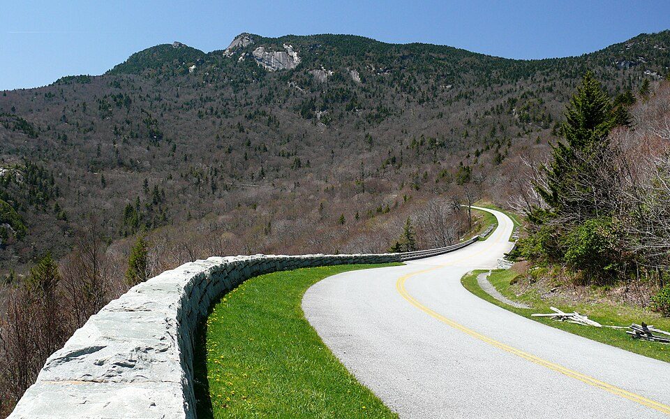
33 mi ParkwayBlue Ridge Parkway16.5M visitors a year
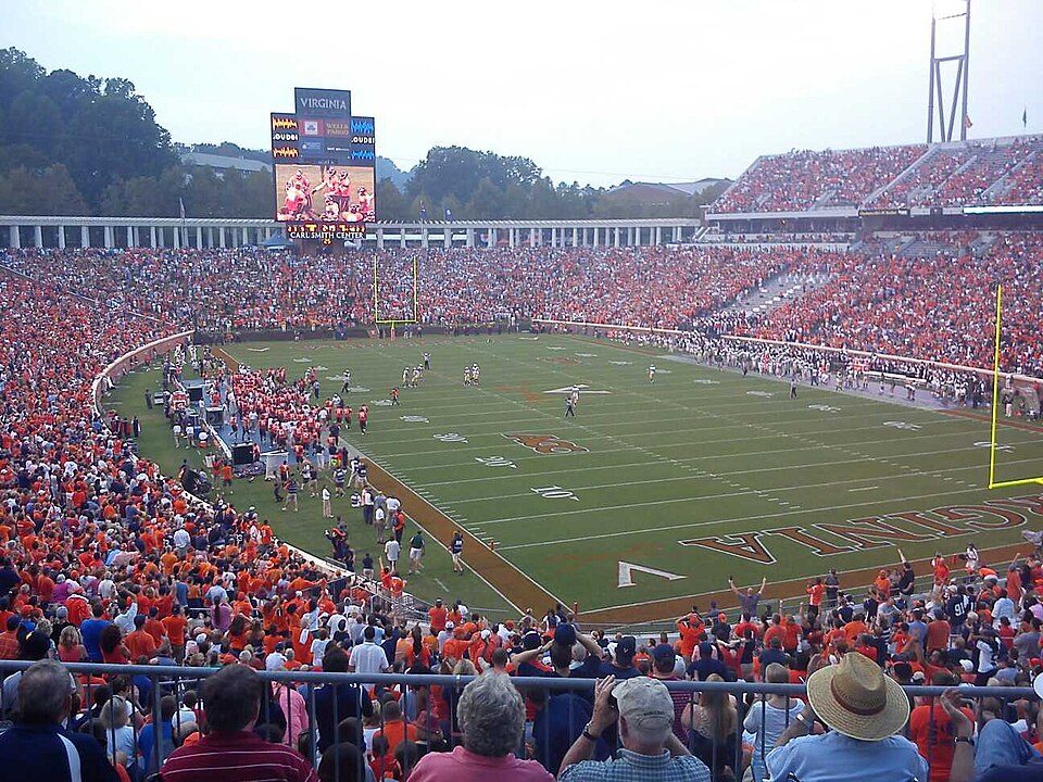
16 mi Stadium & arenaScott Stadium
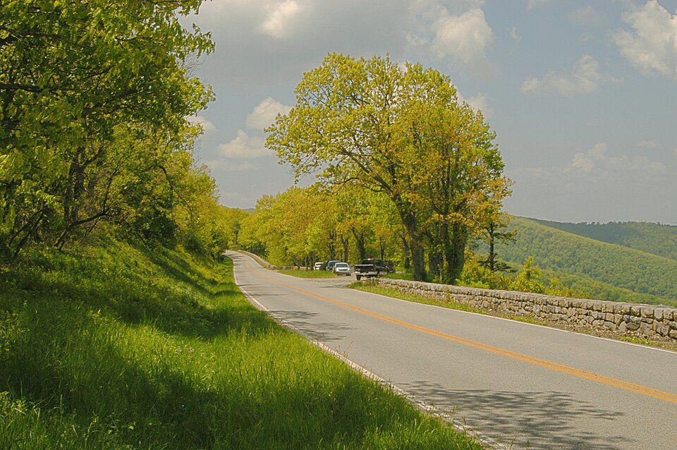
28 mi Scenic driveSkyline Drive
36 mi CaveLuray Caverns
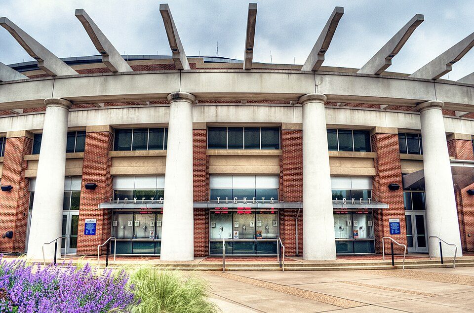
15 mi Stadium & arenaJohn Paul Jones ArenaShenandoah National Park: Image copyright 2005 by user G. Edward Johnson (user Lorax) and released under t, CC BY-SA 3.0 · Blue Ridge Parkway: Ken Thomas, Public domain · Scott Stadium: Mak7912, CC BY-SA 3.0 · Skyline Drive: Image copyright 2005 by user G. Edward Johnson (user Lorax) and released under t, CC BY-SA 3.0 · Luray Caverns: Paulo Ordoveza from Washington, DC, CC BY 2.0 · John Paul Jones Arena: Bob Mical, CC BY 2.0
None within 15 miles of Barboursville; the nearest are
About 0 of every 100 Barboursville residents are enrolled in college, against 7 across Virginia.
2 places in Barboursville on the National Register of Historic Places.
Unincorporated community in Virginia, United States
Barboursville is an unincorporated community and census-designated place (CDP) in Orange County, Virginia, United States. It is the birthplace of renowned American military commander and president Zachary Taylor. It also contains Barboursville, the home of James Barbour, the 19th governor of the Commonwealth of Virginia, after whom the community is named. The ruins of his home are now on land owned by one of the Piedmont region's wineries, Barboursville Vineyards. It was first listed as a CDP in the 2020 census with a population of 177. The community is located at the intersection of VA 20 and US 33. Rural areas outside the community which use the Barboursville ZIP code include portions of …
From Wikipedia, licensed CC BY-SA 4.0 · facts via Wikidata (CC0)
Short answers, built from the data on this page.
Barboursville has fewer than 1,000 residents, too few for fair grades; the figures below are still real. Home to 2 places on the National Register of Historic Places.
2 notable people were born here, including Zachary Taylor and James Barbour.