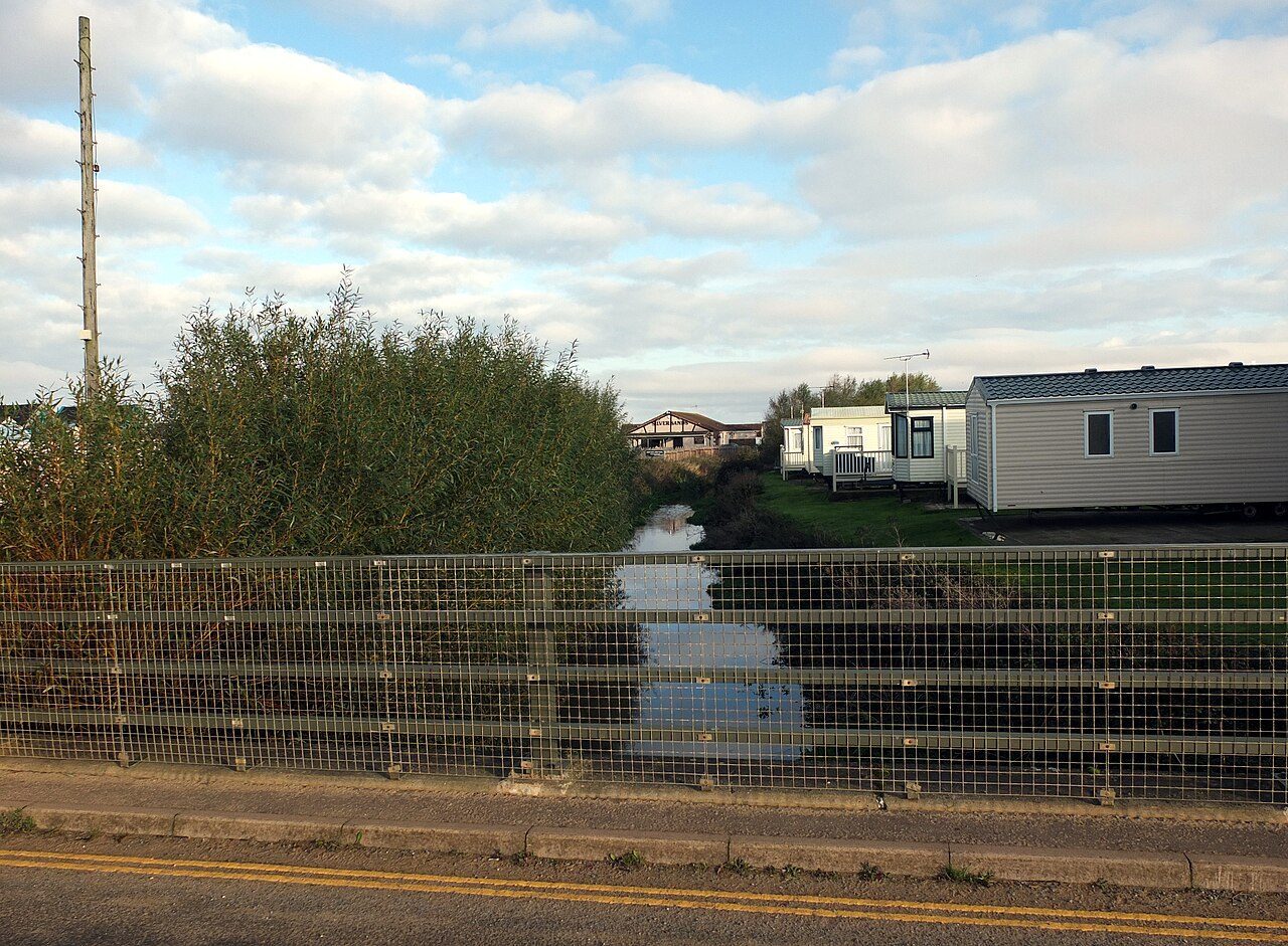
 Photo: habiloid · CC BY-SA 2.0
Heacham records less burglary, vehicle crime and damage per head than 87% of UK towns
Police counts work out at 18.5 violent and sexual offences and 4.9 incidents of burglary, vehicle crime and damage per 1,000 residents annually. Violent crime was down 6% in a year. Overall, it grades B+ for safety (#12 of 51 in Norfolk). What’s more, for its size, it sits below 81% of the 1,308 UK towns of 2,500 to 10,000 people on crime per resident.
Crimes and reports per 1,000 residents (Census 2021) a year, September 2023 to August 2026.
What stands out about safety in Heacham
Violent crime fell over the year
In the 12 months to August 2026 police recorded 6% less violent crime per resident in Heacham than in the year before; across UK towns of 2,500 to 10,000 people violent crime held steady. Trend ↓
Less crime than many places its size
Of 539 UK towns of 3,000 to 5,000 people, Heacham has the 120th lowest rate of graded crime: lower than Gnosall, Eaton Bray and Edlesborough and Puckeridge and Standon, higher than Glemsford, Thorpe Willoughby and Whitehead. Towns its size ↓
Written from the police.uk and government data on this page. Figures are crimes police recorded, not convictions.
The B+ for Heacham, and how it is built
A fairly firm grade. Built on 279 graded crimes over three years. The grade adds violent and sexual offences and crimes against homes and vehicles per resident and ranks Heacham against every UK town of 1,000 or more.
Per resident, against all UK towns; beside it, how it compares with towns its size.
Police in Heacham identify a suspect more often than across UK towns
No suspect was identified for 40% of Heacham’s burglaries, vehicle crimes and criminal damage, against 69% across UK towns, and for 1% of violent and sexual offences against 19%. Most violent cases close as “unable to prosecute” (73% here), usually because the victim doesn’t support a prosecution. About 15% of violent and 13% of household crimes reached court.
The latest outcome police.uk shows for each crime recorded in the first of the three years (September 2023 to August 2024), so most cases have closed. 100 crimes.
How Heacham’s neighbourhoods rank in England
67% of residents live in the lowest-crime 30% of England’s neighbourhoods, and 0% in the highest-crime 20%. The crime domain scores the risk of violence, burglary, theft and criminal damage where people live, so it can read differently from the town-wide rate, which counts crimes where they happened.
Heacham’s residents by the crime decile of their neighbourhood (LSOA, about 1,500 people) in the English Indices of Deprivation 2025 (crime domain), where 1 is the highest-crime 10% of England’s neighbourhoods and 10 the lowest.
What police recorded in the last 12 months
Violence & sexual offences and anti-social behaviour sit below it.
Show as a table
| Category | In the grade | Reports | Per 1,000 | Typical |
|---|---|---|---|---|
| Violence & sexual offences | Violent | 65 | 16.3 | 22.4 |
| Anti-social behaviour | not graded | 17 | 4.3 | 8.8 |
| Criminal damage & arson | Home & vehicle | 15 | 3.8 | 4.5 |
| Public order | not graded | 14 | 3.5 | 3.6 |
| Other theft | not graded | 11 | 2.8 | 3.2 |
| Shoplifting | not graded | 3 | 0.8 | 1.8 |
| Burglary | Home & vehicle | 3 | 0.8 | 1.9 |
| Drugs | not graded | 3 | 0.8 | 1 |
| Other crime | not graded | 3 | 0.8 | 1.5 |
| Vehicle crime | Home & vehicle | 2 | 0.5 | 2 |
| Robbery | Violent | 1 | 0.3 | 0.2 |
| Theft from the person | not graded | 1 | 0.3 | 0 |
| Bicycle theft | not graded | 0 | 0 | 0.1 |
| Possession of weapons | Violent | 0 | 0 | 0.4 |
“Violent” is police.uk’s violence and sexual offences (which includes harassment, stalking and assault without injury), robbery and possession of weapons. Anti-social behaviour isn’t a crime category; shoplifting and other theft happen mostly in shops and town centres rather than to residents, so neither counts in the grade.
September 2025 to August 2026, per 1,000 residents. The tick on each bar is the typical (median) town among UK towns of 2,500 to 10,000 people.
Of 539 towns its size, Heacham is 120th from the least graded crime
| # | Town | People | Violent | Homes & vehicles | Shops & theft | Safety |
|---|---|---|---|---|---|---|
| 1 | Bailrigg Lancashire | 4,788 | 4.7 | 2.5 | 7.9 | A+ |
| … | ||||||
| 9 | Mulbarton Norfolk | 3,807 | 9.5 | 2.7 | 4 | A+ |
| … | ||||||
| 18 | Dersingham Norfolk | 4,753 | 11.4 | 3.1 | 2.6 | A |
| … | ||||||
| 20 | Spixworth Norfolk | 3,418 | 11.1 | 3.6 | 2.8 | A |
| … | ||||||
| 39 | Brundall Norfolk | 4,378 | 14.2 | 2.9 | 7.9 | A |
| … | ||||||
| 117 | Glemsford Suffolk | 3,693 | 18.8 | 4.5 | 2.2 | B+ |
| 118 | Thorpe Willoughby North Yorkshire | 3,482 | 19.2 | 4.2 | 2 | B+ |
| 119 | Whitehead Mid and East Antrim | 3,537 | 18.3 | 5.1 | 3.9 | B+ |
| 120 | Heacham Norfolk | 3,978 | 18.5 | 4.9 | 3.5 | B+ |
| 121 | Minchinhampton Gloucestershire | 3,412 | 15.6 | 7.8 | 3.6 | B+ |
| 122 | Bodicote Oxfordshire | 4,752 | 18.2 | 5.3 | 6.7 | B+ |
| 123 | Colden Common Hampshire | 3,827 | 15.6 | 7.9 | 3.4 | B+ |
| … | ||||||
| 539 | Eastchurch Kent | 3,381 | 132 | 13.9 | 3.5 | D− |
Safety letters rank against every UK town of 1,000 or more; the order here is context only.
Graded crime per 1,000 residents a year, September 2023 to August 2026, counting from the least: towns ranked near Heacham, and others in Norfolk.
Crime in Heacham per 1,000 residents
A crime isn’t a victim: one person can report several, and crimes in a town centre often involve visitors rather than residents.
And about 5 burglaries, vehicle crimes or acts of criminal damage, plus 4 shoplifting and theft reports, in the 12 months to August 2026. Each dot is one resident; each coloured dot is one recorded crime.
How crime in Heacham has moved
“Towns its size” pools all UK towns of 2,500 to 10,000 people that police.uk covers each month (Greater Manchester has no data).
Rolling twelve-month rate, per 1,000 residents a year (longer windows for smaller places, where a few crimes swing a month). In the 12 months to August 2026 against the 12 before: violent -6% (towns its size +1%), homes and vehicles -13% (towns its size -1%), anti-social behaviour -41% (towns its size +0%).
No one died in a collision on Heacham’s roads in 2021–2025
Police recorded 11 collisions with injuries inside Heacham in five years. 4 people were killed or seriously injured: 0 on foot and 0 on a bicycle.
Most UK towns of 2,500 to 10,000 people (81%) had no road deaths in these five years, and Heacham is one of them.
Counting serious injuries too, a town of Heacham’s size at the median for UK towns of 2,500 to 10,000 people would see about 3 people killed or seriously injured in five years; Heacham had 4.
Casualties are counted where the collision happened, not where people lived: a main road through town adds through-traffic, and residents’ own risk on roads elsewhere isn’t here. Seriously injured uses the Department for Transport’s adjusted figures, which even out the police forces’ different ways of recording injuries. There’s no national rate here: more than half of road deaths in England and Wales (58%) happen outside every town’s built-up area. Source: DfT road casualty statistics (STATS19), 2021–2025.
Collisions police recorded inside Heacham’s built-up area, 2021–2025. Described here; not part of the Safety Grade.
Crime in the places around Heacham
| Town | People | Violent | Homes & vehicles | Safety |
|---|---|---|---|---|
| Heacham | 3,978 | 18.5 | 4.9 | B+ |
| Hunstanton | 4,230 | 32.5 | 8.8 | C |
| Snettisham | 2,709 | 12.2 | 2.8 | A |
| Dersingham | 4,753 | 11.4 | 3.1 | A |
| King's Lynn | 47,604 | 51.4 | 14.7 | D |
| Gayton | 1,522 | 24.3 | 6.6 | B− |
| Clenchwarton | 2,020 | 12.9 | 4.8 | A |
Heacham records more graded crime per resident than 3 of its 6 neighbours. Snettisham, 2.2 miles away, records 12.2 violent and sexual offences per 1,000 residents a year (3-year average), against Heacham’s 18.5.
Per 1,000 residents a year, the same three years. Tap a town for its safety page.
What this data can and can’t tell you
- Where crimes happen, not where victims live. police.uk places each crime at a point near where it happened. Town centres with shops, stations, a hospital and nightlife record more crime per resident, and residents of nearby villages who come in to shop or go out are part of that count.
- Bigger towns record more per resident. Across UK towns, recorded crime per resident rises steeply with size, more than in the U.S., so a city’s grade sits low against the whole UK. The “towns its size” figures show where Heacham sits among towns like it; they are context and don’t change the grade.
- Points are approximate. police.uk moves each point to the nearest of a set of anonymous map points, so crimes near the edge of the built-up area can fall either side of it.
Questions about safety in Heacham
Is Heacham safe?
Police recorded 18.5 violent and sexual offences and 4.9 burglaries, vehicle crimes and acts of criminal damage per 1,000 residents a year over the three years to August 2026 (police.uk, inside Heacham’s built-up area). That earns a B+ for safety: less crime per resident than 74% of UK towns. Among 539 UK towns of 3,000 to 5,000 people, Heacham is 120th from the least crime.
Is crime going up in Heacham?
In the 12 months to August 2026, against the 12 months before, violent crime fell 6%, burglary, vehicle crime and damage fell 13%, shoplifting and theft rose 15% and anti-social behaviour fell 41%. Across UK towns of 2,500 to 10,000 people, violent crime held steady.
What is the most common crime in Heacham?
Violence & sexual offences: 65 in the 12 months to August 2026, which in police.uk includes harassment, stalking and assault without injury. Next came criminal damage & arson (15) and public order (14), with 17 reports of anti-social behaviour.
How does Heacham compare with King's Lynn?
King's Lynn records 51.4 violent and sexual offences and 14.7 crimes against homes and vehicles per 1,000 residents a year, against Heacham’s 18.5 and 4.9, over the same three years.
Sources: data.police.uk street-level crime, 36 months to August 2026, points inside the built-up-area boundary · ONS Census 2021, output areas summed to the ONS 2022 built-up area · MHCLG English Indices of Deprivation 2025, crime domain by LSOA (residents from ONS Census 2021) · Department for Transport road casualty statistics (STATS19), collisions 2021–2025, points inside the built-up-area boundary · TownRatings grades: our own summary of the data, ranked against UK towns only. All under the Open Government Licence v3.0.
Contains public sector information licensed under the Open Government Licence v3.0. Contains HM Land Registry data © Crown copyright and database right 2026. Contains OS data © Crown copyright and database right 2026 (ONS boundaries). Northern Ireland: Source: NISRA; contains Land & Property Services data and Ordnance Survey of Northern Ireland information, © Crown copyright, licensed under the Open Government Licence v3.0. Scotland: contains National Records of Scotland data, Registers of Scotland data and SEPA data, © Crown copyright / © SEPA 2025, licensed under the Open Government Licence v3.0.