115 years in pictures
The archive holds 6 old photos and papers going back to 1776.
1 place on the National Register of Historic Places.
- 1911Daufuskie Island is settled
Each edition grades its towns against each other only.

619 people live in this town, settled in 1911.
80% of adults 25 and older hold a bachelor’s degree or more in Daufuskie Island, where South Carolina’s towns sit at 23% and U.S. towns at 29%. Among 170 South Carolina towns, just one has a higher share of homes lived in by their owners than Daufuskie Island. Daufuskie Island Historic District is on the National Register of Historic Places. Daufuskie Island has fewer than 1,000 residents, too few for fair grades; the figures below are still real.
In a town this size, neighbors are the best guide. Ask them anything.
The archive holds 6 old photos and papers going back to 1776.
1 place on the National Register of Historic Places.
Museums, parks, gardens and other places to visit around Daufuskie Island. Close and well known come first.
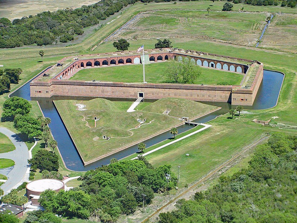
6 mi National MonumentFort Pulaski National Monument321K visitors a year
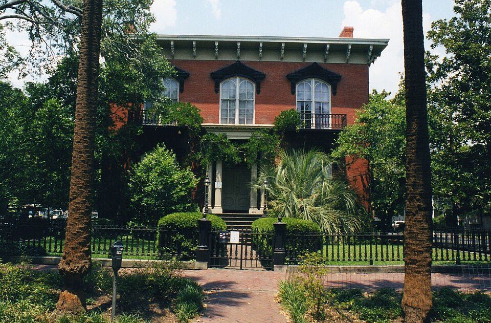
14 mi MuseumMercer House
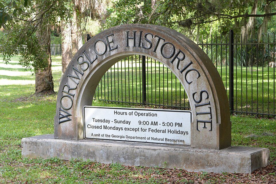
16 mi State parkWormsloe Historic Site
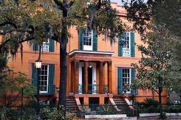
14 mi MuseumSorrel–Weed House
14 mi MuseumCongregation Mickve Israel
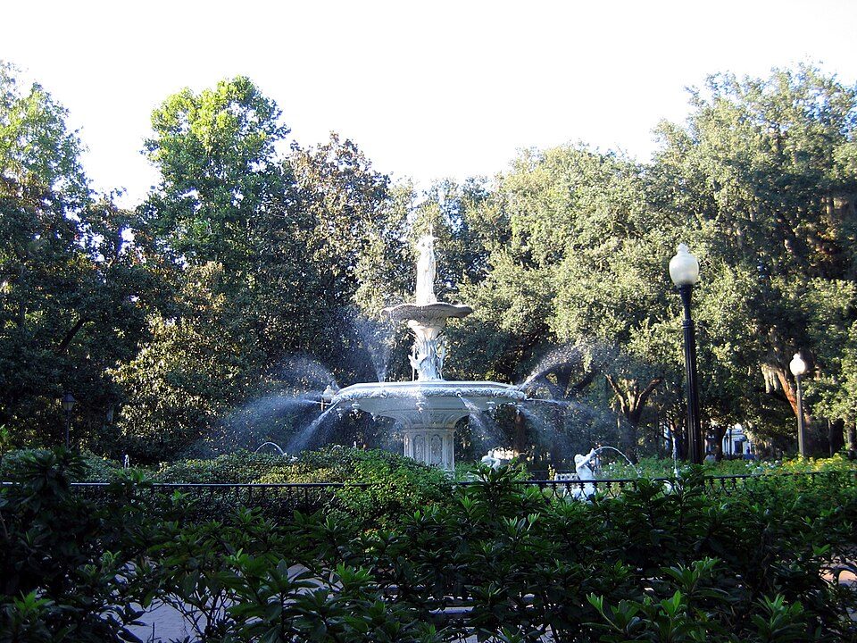
14 mi Park & preserveForsyth ParkFort Pulaski National Monument: Edibobb, CC BY 3.0 · Mercer House: Kyle Kesselring from Canal Winchester, OH, CC BY 2.0 · Wormsloe Historic Site: Bubba73, CC BY-SA 3.0 · Sorrel–Weed House: Unknown, CC BY-SA 3.0 · Congregation Mickve Israel: Ebyabe, CC BY-SA 3.0 · Forsyth Park: Unknown, CC BY-SA 2.5
Daufuskie Island is unincorporated, so Beaufort County and regional agencies provide most services.
EPA SDWIS (Oct 9, 2026) · HIFLD + EIA-861 2025 · Census 2020 ZCTAs · NCES 2024–25 · registration: vote.gov, updated Sep 12, 2025.
Ordered by what stands out in Daufuskie Island.
| School | Level | Students | Letter |
|---|---|---|---|
| Daufuskie Island Independent School PrivateLargest school before high schoolGrades 7–8 | Grades 7–8 | 4 | – |
NCES · EDFacts
FEMA expects more storm and flood damage in Daufuskie Island than in 98% of U.S. communities. Of the losses FEMA expects locally, 79% come from hurricanes and 9% from inland flooding. Federal aid has come to Daufuskie Island households in 2 declared disasters; the latest was in 2024.
FEMA disaster declarations and aid · FEMA National Risk Index · OpenFEMA
Employers in Daufuskie Island shed 116 jobs between 2013 and 2023, to 69. 7.6% of residents live below the poverty line locally. Among 170 South Carolina towns, just 7 have a higher mean commuting time than Daufuskie Island. Just 19% of the town’s working residents have a job in town.
| Daufuskie Island | South Carolina towns | U.S. towns | |
|---|---|---|---|
| Median household income | $156,000 | $57,000 | $80,000 |
| Average trip to work | 32 minutes | 24 minutes | 25 minutes |
| Working residents who work in town | 19% | 6.1% | 8% |
| Below the poverty line | 7.6% | 17% | 9.6% |
Census LEHD 2023 · ACS
The July high for Daufuskie Island comes to 91°F.
NOAA U.S. Climate Normals, 1991–2020
Only 4 of the 170 South Carolina towns we compare have a lower share of adults who worry about having enough food than Daufuskie Island. Among adults locally, 14% say their health is fair or poor. Against the South Carolina average, Daufuskie Island comes out ahead on 20 CDC measures out of 32, and behind on 4. Two figures for adults here: 26% sleep under 7 hours, 86% had a checkup this year.
| Daufuskie Island | South Carolina towns | U.S. towns | |
|---|---|---|---|
| Frequent mental distress (CDC PLACES) | 11% | 18% | 17% |
| Sleep under 7 hours (CDC PLACES) | 26% | 38% | 36% |
| Yearly checkup (CDC PLACES) | 86% | 80% | 79% |
| Obesity (CDC PLACES) | 27% | 37% | 35% |
| What stands out | Daufuskie Island | SC |
|---|---|---|
| Fewer adults facing a utility shut-off | 3.3% | 8.9% |
| Fewer adults facing housing insecurity | 5.3% | 13.3% |
| More adults who have had cancer | 15.1% | 8.6% |
CDC PLACES 2025 · modeled estimates for adults · CMS · HRSA
Zillow Home Value Index · Redfin Data Center
2.9 miles of trail. For Daufuskie Island, the concentration of trails is 0.2 miles per square mile.
Trails & parks © OpenStreetMap contributors · Conserved land: USGS PAD-US
3 within 15 miles of the center of Daufuskie Island
About 4 of every 100 Daufuskie Island residents are enrolled in college, against 6 across South Carolina.
Census-designated place in South Carolina, United States
Daufuskie Island, located between Hilton Head Island and Savannah, is the southernmost inhabited sea island in South Carolina. It is 5 miles (8 km) long by almost 2.5 miles (4.0 km) wide – approximate surface area of 8 square miles (21 km2) (5,000 acres). With over 3 miles (5 km) of beachfront, Daufuskie is surrounded by the waters of Calibogue Sound, the Intracoastal Waterway and the Atlantic Ocean. It was listed as a census-designated place in the 2020 census with a population of 557. Accessible only by ferry or barge, and with a full-time population of just over 400, Daufuskie Island contains environmental preserves, private communities, resorts, Gullah houses, diverse art galleries and …
From Wikipedia, licensed CC BY-SA 4.0 · facts via Wikidata (CC0)
Short answers, built from the data on this page.
Daufuskie Island has fewer than 1,000 residents, too few for fair grades; the figures below are still real.