
Passion hedge, 2010
Thunderbolt’s story
134 years in pictures
Census counts: 543 in 1910, 2,556 in 2020. The archive holds 2 old photos and papers going back to 1846 and 2 maps from 1955 on.
- 1892Thunderbolt is settled
Each edition grades its towns against each other only.
A town of 2,534, settled in 1892.
Thunderbolt earns a D, 196th among Georgia's 258 graded towns. What it does well: it is more walkable than 83% of U.S. towns. Only 8 of Georgia’s 374 towns score lower on hazard risk. Thunderbolt’s trail density is 0.9 miles per square mile, against 0.3 in Georgia’s towns and 0.4 across U.S. towns. Only 18 of Georgia’s 371 towns score lower on cost of living.
Where Thunderbolt beats most towns, and one thing worth knowing.
Coastal flooding makes up 14% of the storm damage FEMA expects here.
FEMA National Risk Index · OpenFEMA · OpenStreetMap
Each subject compared with towns across the country (schools within Georgia), ordered by how far Thunderbolt is from typical.
How TownRatings grades towns →
Census counts: 543 in 1910, 2,556 in 2020. The archive holds 2 old photos and papers going back to 1846 and 2 maps from 1955 on.
Museums, parks, gardens and other places to visit around Thunderbolt. Close and well known come first.
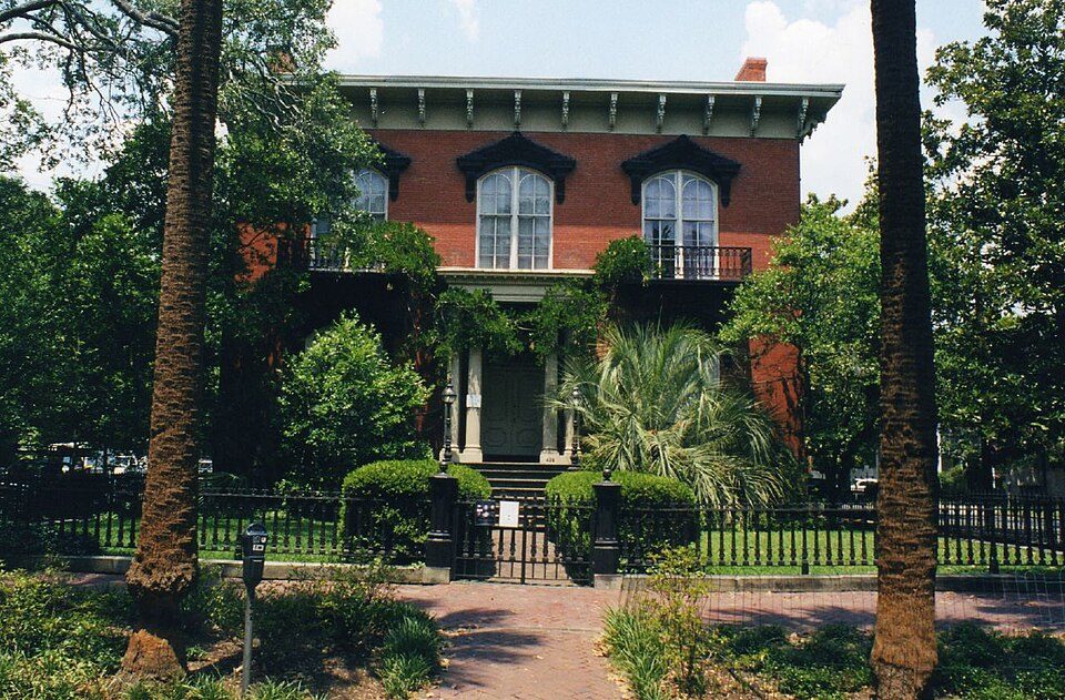 4 mi MuseumMercer House
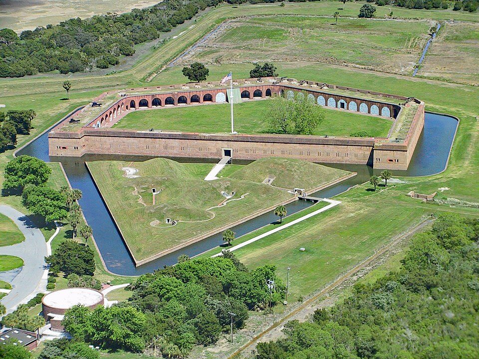 3 mi National MonumentFort Pulaski National Monument321K visitors a year
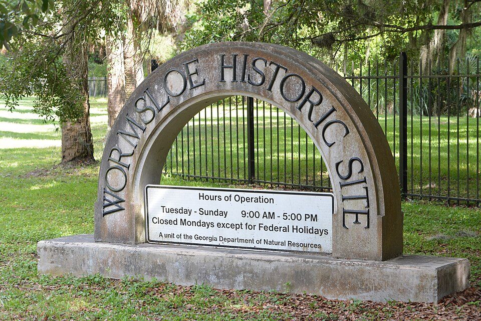 4 mi State parkWormsloe Historic Site
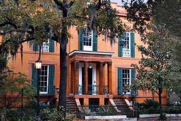 4 mi MuseumSorrel–Weed House
 4 mi MuseumCongregation Mickve Israel
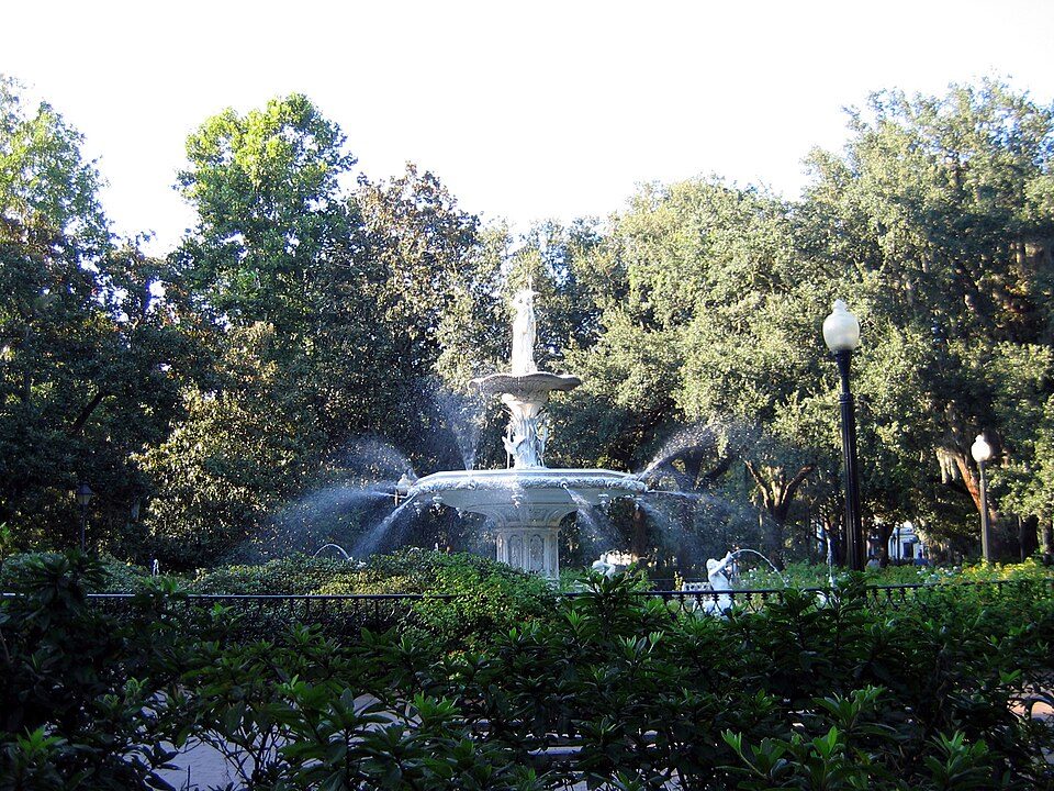 3 mi Park & preserveForsyth Park
Mercer House: Kyle Kesselring from Canal Winchester, OH, CC BY 2.0 · Fort Pulaski National Monument: Edibobb, CC BY 3.0 · Wormsloe Historic Site: Bubba73, CC BY-SA 3.0 · Sorrel–Weed House: Unknown, CC BY-SA 3.0 · Congregation Mickve Israel: Ebyabe, CC BY-SA 3.0 · Forsyth Park: Unknown, CC BY-SA 2.5
Who provides power, water and the rest in Thunderbolt, and how to reach them.
EPA SDWIS (Oct 9, 2026) · HIFLD + EIA-861 2025 · Census 2020 ZCTAs · NCES 2024–25 · registration: vote.gov, updated Nov 18, 2024.
Ordered by what stands out in Thunderbolt.
Thunderbolt has commutes shorter than most of Georgia, but it carries more natural-hazard risk than most of Georgia (mostly hurricanes).
Thunderbolt sits where Georgia’s towns sit at 2.3% and U.S. towns at 4.3% on this measure. 1.5 miles of trail in 2 parks and preserves.
| Biggest places to walk | Trails | Acres |
|---|---|---|
| 1. W.E. Honey Park | — | 6 |
| 2. Thunderbolt Boat Ramp & Fishing Pier | — | 1 |
Trails & parks © OpenStreetMap contributors · Conserved land: USGS PAD-US
Its public schools are run by the Savannah-Chatham County school district. Its one school is below. The largest public high school is Johnson High School, with 762 students.
| School | Level | Students | Letter |
|---|---|---|---|
| Johnson High SchoolLargest public high schoolGrades 9–12 | Grades 9–12 | 762 | C− |
NCES · EDFacts · graded within GA on state tests and graduation
FEMA rates its natural-hazard risk higher than 96% of Georgia towns, with expected losses of about $1,673 per resident a year; that rating is what its D− for hazard risk is built on.
Thunderbolt’s FEMA risk score is 95 of 100. Since 1994, 34 flood insurance claims have been paid out in Thunderbolt.
FEMA flood insurance claims · FEMA National Risk Index · OpenFEMA
People 65 and older are 25% of residents (15% statewide); children under 18 are 17% of residents (23% statewide). 41% of adults 25 and older hold a bachelor’s degree or more in Thunderbolt.
| Thunderbolt | Georgia towns | U.S. towns | |
|---|---|---|---|
| Under 18 | 17% | 24% | 22% |
| Bachelor’s degree or more, 25+ | 41% | 25% | 29% |
| Median age | 43.9 years | 36.5 years | 40.5 years |
54% women, 46% men
That’s an even split within the survey’s margin of ±6.3 points. Across Georgia, 51.2% of residents are women. Among residents 18 to 24, 94% are men (GA 51%).
| Thunderbolt | GA | U.S. | |
|---|---|---|---|
| Under 10 | 6.6% | 12.1% | 11.6% |
| 10 to 17 | 10.2% | 11.1% | 10.3% |
| 18 to 24 | 5.5% | 9.5% | 9.1% |
| 25 to 34 | 13.8% | 13.8% | 13.7% |
| 35 to 44 | 15.8% | 13.4% | 13.2% |
| 45 to 54 | 7.2% | 12.8% | 12.2% |
| 55 to 64 | 16% | 12.3% | 12.7% |
| 65 to 74 | 15.6% | 9.1% | 10.2% |
| 75 and older | 9.4% | 5.8% | 7% |
| No diploma | 7.6% | 10.8% | 10.4% |
| High school | 23.2% | 26.6% | 26% |
| Some college | 22.1% | 19.2% | 19.1% |
| Associate’s | 6.3% | 8.4% | 8.8% |
| Bachelor’s | 21.7% | 21.1% | 21.6% |
| Graduate | 19% | 13.9% | 14.1% |
U.S. Census Bureau · ACS 2020-2024 5-year estimates · in a town of 2,500, single groups can be off by several points
Thunderbolt has mild winters and warm summers, with plenty of rain. The July high in Thunderbolt is 92°F.
NOAA U.S. Climate Normals, 1991–2020
The average commute for its 871 working residents takes 21 minutes, against 28.3 across Georgia. Jobs based here grew from 668 in 2013 to 1,143.
Most working residents leave Thunderbolt for work: only 3% work in town. Jobs based in Thunderbolt grew to 1,143 in 2023, 475 more than in 2013. 18% of Thunderbolt residents live below the poverty line.
| Thunderbolt | Georgia towns | U.S. towns | |
|---|---|---|---|
| Average trip to work | 21 minutes | 26 minutes | 25 minutes |
| Below the poverty line | 18% | 15% | 9.6% |
| Working residents who work in town | 3% | 9.2% | 8% |
| Median household income | $75,000 | $63,000 | $80,000 |
Census LEHD 2023 · ACS
Thunderbolt beats the Georgia average on 1 of 32 CDC measures and trails it on 9.
| Thunderbolt | Georgia towns | U.S. towns | |
|---|---|---|---|
| High blood pressure (CDC PLACES) | 43% | 38% | 35% |
| Diabetes (CDC PLACES) | 16% | 14% | 12% |
| Sleep under 7 hours (CDC PLACES) | 42% | 40% | 36% |
| Feel lonely (CDC PLACES) | 35% | 39% | 33% |
| What stands out | Thunderbolt | GA |
|---|---|---|
| More adults treating high blood pressure | 80.8% | 77.4% |
| More older adults who have lost all their teeth | 21.3% | 14.5% |
CDC PLACES 2025 · modeled estimates for adults · CMS · HRSA
Within Georgia, it does better than 67% of towns.
| Thunderbolt | Georgia towns | U.S. towns | |
|---|---|---|---|
| Property crimes per 1,000 (2025) | 19.7 per 1,000 residents | 14.5 | 9.9 |
| Violent crimes per 1,000 (2025) | 2.4 per 1,000 residents | 2.2 | 1.6 |
FBI crime data, 2025 · crimes reported to police
Zillow Home Value Index · Redfin Data Center
4 within 15 miles of the center of Thunderbolt
About 3 of every 100 Thunderbolt residents are enrolled in college, against 6 across Georgia.
Town in Georgia, United States
Thunderbolt is a town located in Chatham County, Georgia, United States, approximately five miles southeast of downtown Savannah. As of the 2020 census, the town had a total population of 2,556. It is part of the Savannah Metropolitan Statistical Area. Thunderbolt runs along the western shore of the Wilmington River (a tidal river that is part of the U.S. Intracoastal Waterway). The town is important to Georgia's shrimping industry, with scores of docks for shrimping trawlers. The town's picturesque atmosphere and seafood restaurants draw many local visitors.
From Wikipedia, licensed CC BY-SA 4.0 · facts via Wikidata (CC0)
2 towns share a border with Thunderbolt.
| Town | GA rank | Overall | Cost | Safety | Schools | Health |
|---|---|---|---|---|---|---|
| Thunderbolt | #196 | D | D | C+ | C | C+ |
| Whitemarsh Island | #96 | C+ | D | — | C | A |
| Savannah | #191 | D | C | — | C | C+ |
Whitemarsh Island and Savannah report no FBI crime data of their own. Compare Thunderbolt with a neighbor →
Short answers, built from the data on this page.
Thunderbolt grades D overall, better than 12% of U.S. towns and #196 of 258 in Georgia. It grades C+ for health, C+ for safety and C for schools. Hazard risk is its weak spot, with a D−.
Within Georgia, it does better than 67% of towns.
Yes. The typical home is worth about $335,000, 2% above the Georgia typical home. Cost of living, which also weighs rents, property taxes and how many households pay 30% or more of their income for housing, grades D.


