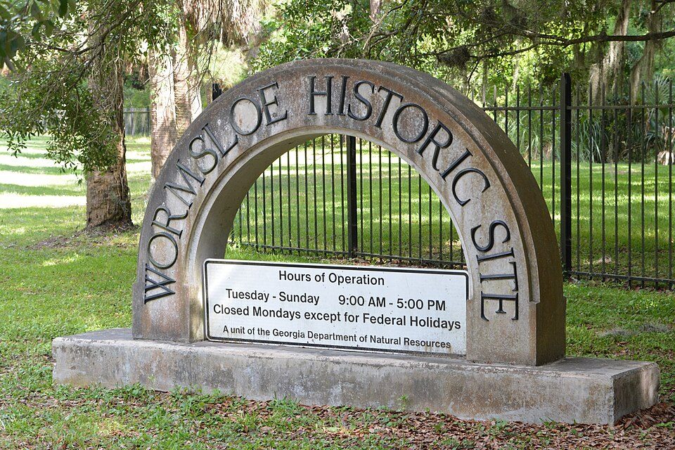
Wormsloe Historic Site
The Wormsloe State Historic Site, originally known as Wormsloe Plantation, is a state historic site near Savannah, Georgia, in the southeastern United States. It lies 1 mi west of Isle of Hope. Records date it to 1973.

A state park, 1 mi west of Isle of Hope
Savannah is the nearest base
Savannah is 8 miles west, with 177 places to stay. Where to stay ↓
Best months: Feb, Mar, Apr, May, Oct, Nov and Dec
February, March, April, May, October, November and December are the mild months, with highs of 64–84°. When to go ↓
Established in 1973
Wormsloe Historic Site dates from 1973. About ↓
Written from NOAA 1991–2020 normals, Overture places to stay, Census town figures, Wikidata and Wikipedia.
How the seasons run
Plan a visit to Wormsloe Historic Site around the weather below.
Wormsloe Historic Site
The Wormsloe State Historic Site, originally known as Wormsloe Plantation, is a state historic site near Savannah, Georgia, in the southeastern United States. The site consists of 822 acres (3.33 km2), protecting part of what was once the Wormsloe Plantation, a large estate established by one of the founders of colonial Georgia, Noble Jones. The site includes a 1.5-mile (2.4 km) dirt road lined with southern live oaks, the ruins of a small house with fortified walls built of tabby, a museum, and an area with recreations of colonial structures such as a blacksmithing forge and a house similar to those first built in the colony of Georgia (or as housing for enslaved people).
- Type
- State park
- Established
- 1973
- Listed
- National Register of Historic Places (1973)
- Wikipedia readers
- 17K a year
Hotels and campgrounds near Wormsloe Historic Site
Places to stay start in Savannah (177) and Tybee Island (44).
- 1Mercer House
- 2Fort Pulaski
- 3Sorrel–Weed House
- 4Congregation Mickve Israel
- 5Forsyth Park
- 6First African Baptist Church
Savannah
The closest town with somewhere to stay.
149,440 people
8 mi west of Wormsloe Historic Site
Hilton Head Island
38,196 people · 25% vacation homes
24 mi northeast of Wormsloe Historic Site
Compare 8 towns
| Town | From Wormsloe Historic Site | Drive | Places to stay | People | Typical home | Safety |
|---|---|---|---|---|---|---|
| Savannah | 8 mi west | 10 min | 177 119 hotels · 7 motels · 39 inns & B&Bs · 6 lodges & cabins · 2 campgrounds · 4 RV parks | 149,440 | $249K | — |
| Tybee Island 43% vacation homes | 13 mi east | 20 min | 44 27 hotels · 2 motels · 10 inns & B&Bs · 4 lodges & cabins · 1 campground | 3,156 | $611K | — |
| Henderson | 12 mi west | 20 min | 38 36 hotels · 2 motels | 1,952 | $342K | — |
| Hilton Head Island 25% vacation homes | 24 mi northeast | 35 min | 120 110 hotels · 3 inns & B&Bs · 3 lodges & cabins · 4 RV parks | 38,196 | $687K | — |
| Garden City | 10 mi northwest | 15 min | 16 10 hotels · 1 motel · 2 inns & B&Bs · 1 lodge or cabins · 1 campground · 1 RV park | 10,513 | $169K | D |
| Pooler | 14 mi northwest | 20 min | 24 24 hotels | 32,744 | $322K | — |
| Richmond Hill | 15 mi west | 25 min | 19 17 hotels · 1 lodge or cabins · 1 campground | 20,022 | $313K | B |
| Port Wentworth | 17 mi northwest | 25 min | 21 18 hotels · 1 motel · 2 inns & B&Bs | 17,604 | $228K | B |
Getting there
Nearest airports with airline service
Close to Wormsloe Historic Site
Also within 67 miles are these.
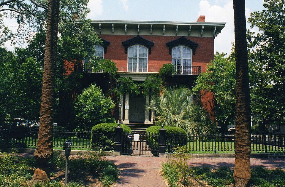 16 mi MuseumMercer House
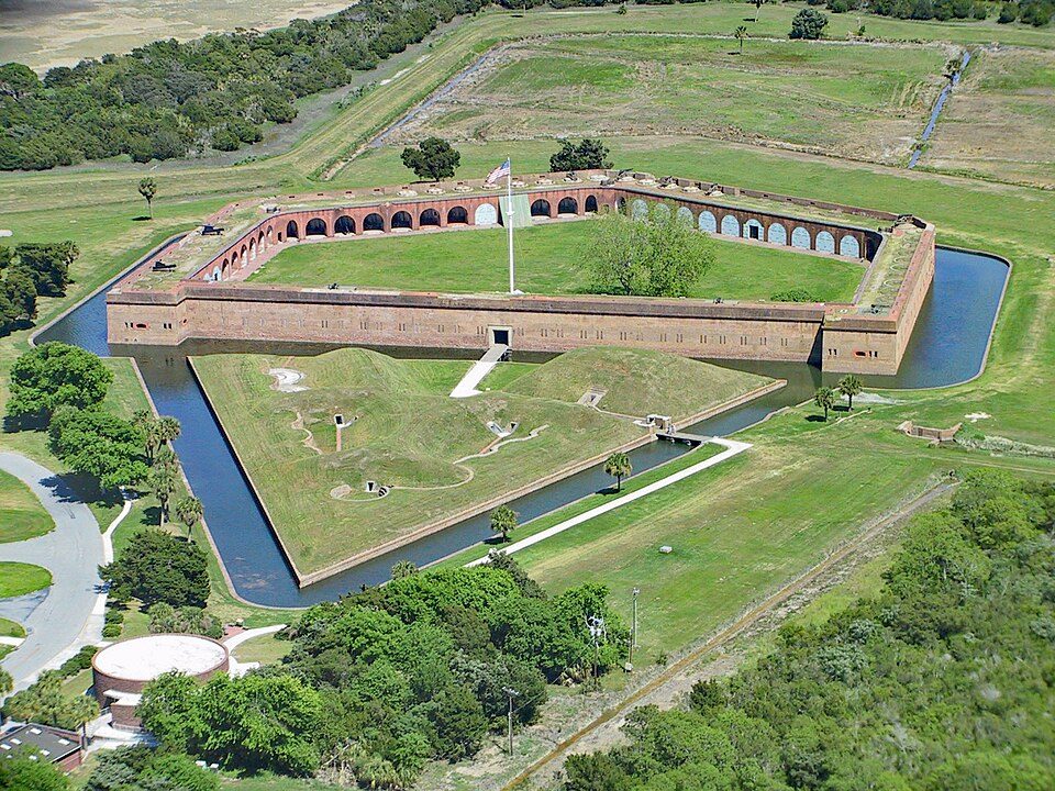 211 mi National MonumentFort Pulaski National Monument321K visitors a year
 37 mi MuseumSorrel–Weed House
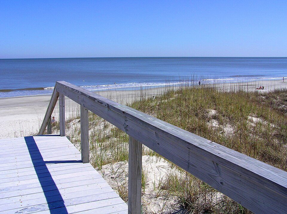 66 mi Park & preserveJekyll Island
 46 mi MuseumCongregation Mickve Israel
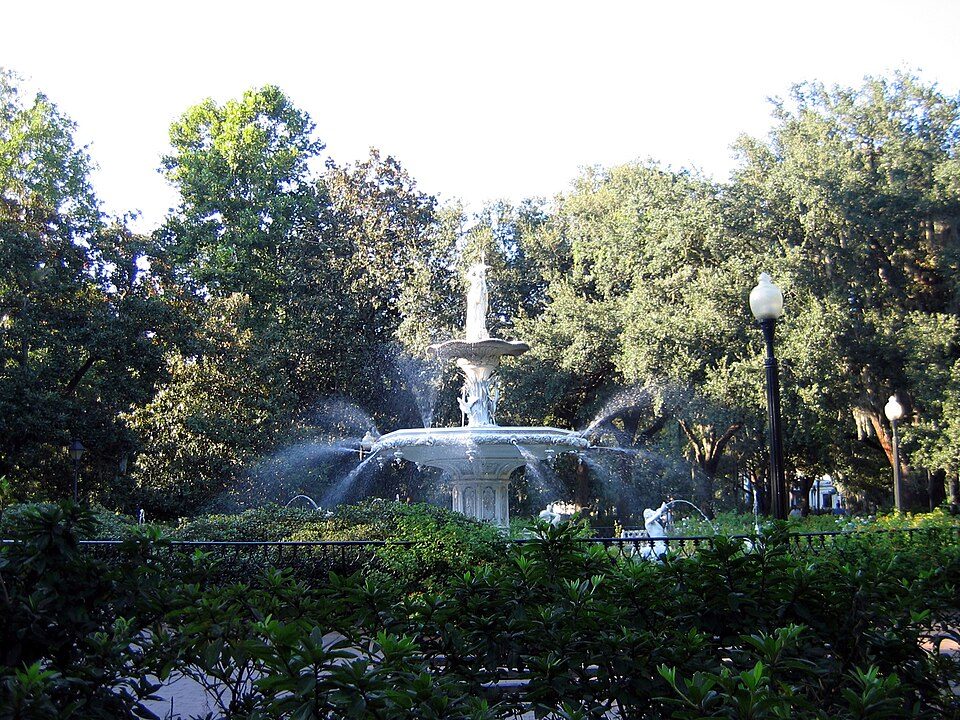 56 mi Park & preserveForsyth Park
 58 mi LandmarkIgbo Landing Historic Site
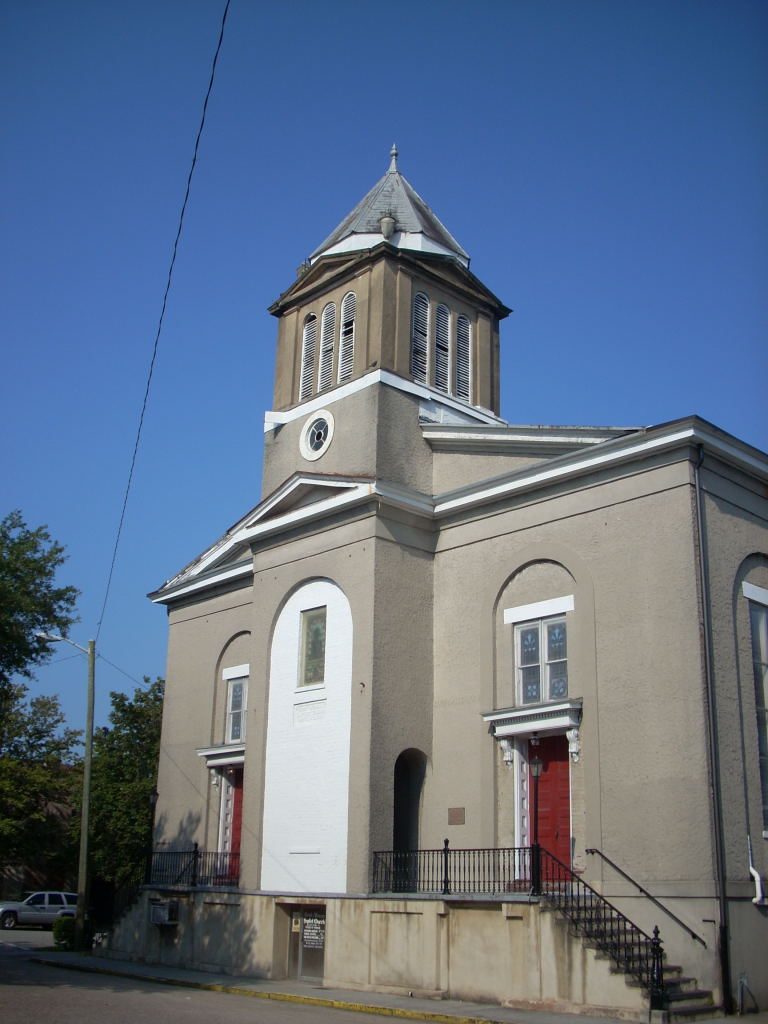 67 mi MuseumFirst African Baptist Church
Photo credits
Mercer House: Kyle Kesselring from Canal Winchester, OH, CC BY 2.0 · Fort Pulaski National Monument: Edibobb, CC BY 3.0 · Sorrel–Weed House: Unknown, CC BY-SA 3.0 · Jekyll Island: normanack on Flickr, CC BY 2.0 · Congregation Mickve Israel: Ebyabe, CC BY-SA 3.0 · Forsyth Park: Unknown, CC BY-SA 2.5 · Igbo Landing Historic Site: Jud McCranie, CC BY-SA 4.0 · First African Baptist Church: KudzuVine, Public domain


Your questions on Wormsloe Historic Site
What town is Wormsloe Historic Site near?
Isle of Hope, GA, about 1 miles east.
When is the best time to visit Wormsloe Historic Site?
February, March, April, May, October, November and December, with highs of 64–84°.
What is the closest airport to Wormsloe Historic Site?
Savannah Hilton Head (SAV), about 13 miles away.
Where should I stay near Wormsloe Historic Site?
Savannah (8 mi, 177 places to stay), Tybee Island (13 mi, 44 places to stay) and Henderson (12 mi, 38 places to stay).
Advice from Isle of Hope
Start the conversation in Isle of Hope’s Town Square.
Sources: National Park Service · ski areas © OpenSkiMap / OpenStreetMap contributors · Wikidata · Wikipedia readership · NOAA climate normals · U.S. Census.