Central Falls dates to 1730, and 48% of its homes were built before 1940
Among the most historic 1% of U.S. towns · #4 of 38 in Rhode Island. What drives it
13 places in town are on the National Register, among them three historic districts with 384 buildings between them. Below: 2 old photos and papers, maps from 1894 on, and the census since 1900.
Founding year: Wikipedia. First post office: 1867.The full story ↓
History grade
What drives Central Falls’ History grade
On its age, its old homes and the National Register, Central Falls is among the most historic 1% of U.S. towns, #4 of 38 in Rhode Island. All 3 inputs are above most U.S. towns; its share of homes from before 1940 ranks highest and its National Register listings lowest.
A+
HistoryA character grade: shown, never part of Central Falls’ overall grade.
Rhode Island towns list more on the Register than most of the country (a typical Rhode Island town has 94.7 per 10,000 residents, the U.S. 2.4), so Central Falls’ 178 sits above most of its state (66% of Rhode Island towns have fewer) while its 403 historic buildings outnumber those of 96% of U.S. towns.
NoteThe founding year comes from Wikipedia alone; no second source gives 1730.
How sure. Graded on any two of the three inputs instead, the letter would still be A+. The pre-1940 share is a Census survey estimate (±6.2 points).
Founding year: Wikipedia (other dates in Quick answers). Homes: Census ACS 2020–24. National Register: National Park Service, May 2026 list; each listing counted once (boundary changes and added documentation belong to their listing), and a historic district counts its contributing buildings. How TownRatings grades history →
What stands out about Central Falls’ past
Read from the archive, the National Register and the record. The page puts what stands out first.
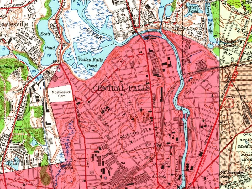
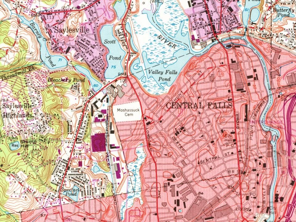
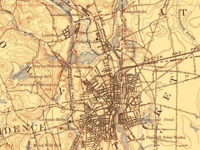
Every edition of the U.S. Geological Survey’s map of Central Falls. Tap a year, or press play to watch the town change.
1894Providence sheet · 1:62,500
U.S. Geological Survey historical topographic maps (public domain), via Esri’s collection of the scans. The red ring marks the center of Central Falls.
Before Europeans arrived, the area was home to Nipmuc, Wampanoag and Narragansett peoples.
Central Falls has historic significance as the site of a major battle during King Philip's War. It was here, on March 26, 1676, that Narragansett Indians ambushed Captain Michael Pierce and his Plymouth Colony troops who, with 20 Christian Wampanoag Indians, were pursuing them. Nearly all those ambushed were killed, including nine taken prisoner and later tortured to death at nearby Cumberland. A stone memorial marks the mass grave at the site known as "Nine Men's Misery".
Passages that mention Central Falls, cut from the printed page as they were published.
History of Providence County, Rhode Island1891 · page 425Read the page →
Read the text
The result of these feelings was that petitions were drawn up in various parts of the town petitioning the legislature to set off portions of the town of Lincoln to adjacent towns, principally to set off the village of Central Falls to the town of Pawtucket, but they did not succeed. In the autumn of 1874 the question of dividing the town was revived in a new shape, and appeared in the form of petitions to set off a portion of the villages of Valley Falls, Lonsdale, Ashton and Albion to the town of Cumberland, of which notice was given to the
Text read by machine from the scan; it may contain errors.
History of Providence County, Rhode Island1891 · page 82Read the page →
Read the text
" For several years the new pastor labored energetically, not merely in Pawtucket, but in the adjoining village of Central Falls; and the fruits of his labor in the latter field became manifest in 1845 by the resolve to establish a Congregational church there. About 40 members were dismissed from the parent church to plant a new vine.
Text read by machine from the scan; it may contain errors.
Scans and text from the Internet Archive. Books published in 1930 or earlier, which are in the public domain.
Timeline
Central Falls, 1730 to 1929
Woven from the archive, old maps, post office records, the National Register and the people born here.
Nothing in the archives for these yearsWeddings on Main Street, storms, parades, school pictures, the old store. If it’s in your family album, it belongs here.
In 1730, according to Wikipedia’s history of the town. Central Falls’ post office opened in 1867, and the census of 1900 counted 18,167 people here.
How does Central Falls rank for history?
Central Falls is among the most historic 1% of U.S. towns, #4 of 38 in Rhode Island. The History grade combines the town’s founding era, the share of homes built before 1940 and its National Register listings. It’s a character grade, so it isn’t part of the overall grade. How it works.
What is on the National Register in Central Falls?
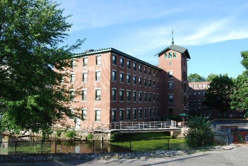
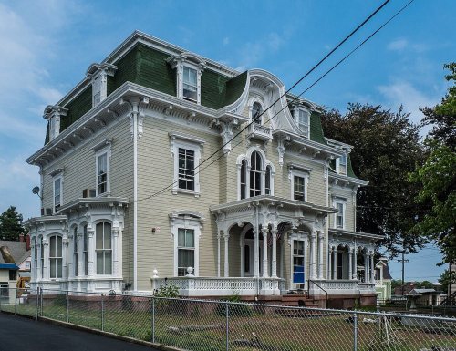
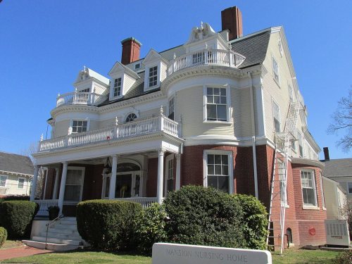
13 listings: 10 buildings, among them the Central Falls Congregational Church (listed 1976, the first), and 3 historic districts, the Jenks Park & Cogswell Tower, the South Central Falls Historic District and the Central Falls Mill Historic District, with 384 contributing buildings. 403 historic buildings in all.
How old are the homes in Central Falls?
48% of Central Falls’ homes were built before 1940 (Census estimate, ±6.2 points), against a typical 20% for a Rhode Island town; the median home was built in 1944.
Founding dates: Wikidata, Wikipedia, the U.S. post office records of Blevins & Helbock (CC0) and the Census. Homes by year built: Census ACS 2020–24. National Register of Historic Places: National Park Service (list of May 22, 2026). Old photos, postcards and papers: Wikimedia Commons, the Library of Congress and other public archives, credited on each item’s page. Maps: U.S. Geological Survey historical topographic maps (via Esri) and Sanborn fire-insurance maps (Library of Congress). History text and census tables: Wikipedia (CC BY-SA 4.0). Places that used to be: USGS Geographic Names Information System (2021).
From Wikimedia Commons (2), Wikidata (2), the National Register of Historic Places (13), Wikipedia, Wikidata and Wikipedia for famous people, U.S. Geological Survey historical maps, U.S. Census counts (via Wikipedia), the US Post Offices dataset (Blevins & Helbock), the USGS Geographic Names Information System and old county and town histories (Internet Archive). Archive images are copied here with their credits and licenses, shown on each photo’s page. Refreshed monthly.










 1907–1915