Barrington dates to 1653, and 28% of its homes were built before 1940
More historic than 82% of U.S. towns · #24 of 38 in Rhode Island. What drives it
9 places in town are on the National Register, among them three historic districts with 66 buildings between them. Below: 9 old photos and papers, maps from 1890 on, and the census since 1790.
Founding year: Wikidata. First post office: 1810.The full story ↓
History grade
What drives Barrington’s History grade
On its age, its old homes and the National Register, Barrington is more historic than 82% of U.S. towns, #24 of 38 in Rhode Island. All 2 inputs are above most U.S. towns; its share of homes from before 1940 ranks highest and its National Register listings lowest.
A−
HistoryA character grade: shown, never part of Barrington’s overall grade.
Rhode Island towns list more on the Register than most of the country (a typical Rhode Island town has 94.7 per 10,000 residents, the U.S. 2.4), so Barrington’s 42.0 sits below most of its state (26% of Rhode Island towns have fewer) while its 72 historic buildings outnumber those of 87% of U.S. towns.
NoteThe founding year comes from Wikidata alone; no second source gives 1653.
How sure. Graded on two of the three inputs, so a change in either one moves the letter more than it would with three. The pre-1940 share is a Census survey estimate (±4.0 points).
Founding year: Wikidata (other dates in Quick answers). Homes: Census ACS 2020–24. National Register: National Park Service, May 2026 list; each listing counted once (boundary changes and added documentation belong to their listing), and a historic district counts its contributing buildings. How TownRatings grades history →
What stands out about Barrington’s past
Read from the archive, the National Register and the record. The page puts what stands out first.
Barrington was originally occupied by the Wampanoag Indians, whose territory spread from Narragansett Bay to Cape Cod. But epidemics largely eliminated their coastal settlements, and their main settlement was roughly Bristol, Barrington, and Warren, Rhode Island at the time of the Pilgrims' arrival in 1620. The Narragansetts called the area Sowams. In 1653, investors from Plymouth Colony bought "Sowams and Parts Adjacent" from the Wampanoags, corresponding to Barrington and parts of Bristol, Warren, and Swansea, Massachusetts. Some areas in Barrington draw their name from the initial proprietors of this land, such as Prince's Hill, named for Thomas Prince.
Passages that mention Barrington, cut from the printed page as they were published.
A history of Barrington, Rhode Island1898 · page 252Read the page →
Read the text
' "A petition of Josiah Torrey, Agent for the Town of Barrington showing that the Meadow Land in the Said Township and in Part owned by the Inhabitants of Rehoboth, & being tax'd by the Assessors of Barrington, the Proprietors refuse to pay the said Taxes, pretending an Agreement between Rehoboth & the Town of Swansea (of which Barrington was lately a Part) which exempts them from the Said Taxes, & that by their Refusal the Town of Barrington
Text read by machine from the scan; it may contain errors.
A history of Barrington, Rhode Island1898 · page 454Read the page →
Read the text
free liberty or allowance from the town to keep a ferry in Barrington aforesaid at ye place called and known by the name of Toogood's or Kelley's Ferry and to carry horse and men or any kind of wares from off Barrington Shore without any let, denyals, molestation or Disturbance of from or by ye said town of Barrington for ye space of seven years from and after ye twenty-first day of May last past according to ye tenure, true intent and meaning of ye vote of ye Town
Text read by machine from the scan; it may contain errors.
Scans and text from the Internet Archive. Books published in 1930 or earlier, which are in the public domain.
By decade
Barrington, decade by decade
One decade in the archive so far: the 1890s. Scroll each row; tap a photo for its story.
Nothing in the archives for these yearsWeddings on Main Street, storms, parades, school pictures, the old store. If it’s in your family album, it belongs here.
In 1653, according to Wikidata. Barrington’s post office opened in 1810, and the first U.S. census counted 683 people here in 1790.
How does Barrington rank for history?
Barrington is more historic than 82% of U.S. towns, #24 of 38 in Rhode Island. The History grade combines the town’s founding era, the share of homes built before 1940 and its National Register listings. It’s a character grade, so it isn’t part of the overall grade. How it works.
What is on the National Register in Barrington?
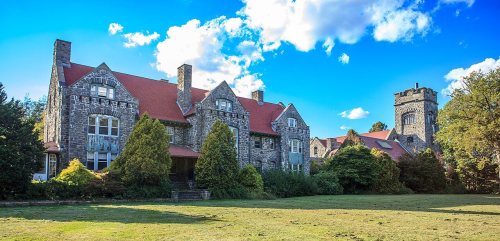
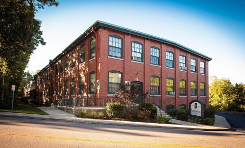
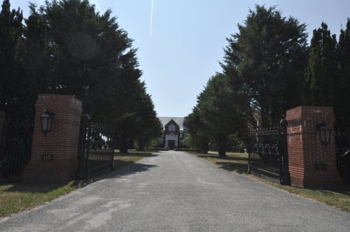
9 listings: 6 buildings, among them the Belton Court (listed 1976, the first), 3 historic districts, the Barrington Civic Center, the Alfred Drowne Road Historic District and the Jennys Lane Historic District, with 66 contributing buildings, and 1 structure. 72 historic buildings in all.
How old are the homes in Barrington?
28% of Barrington’s homes were built before 1940 (Census estimate, ±4.0 points), against a typical 20% for a Rhode Island town; the median home was built in 1956.
Founding dates: Wikidata, Wikipedia, the U.S. post office records of Blevins & Helbock (CC0) and the Census. Homes by year built: Census ACS 2020–24. National Register of Historic Places: National Park Service (list of May 22, 2026). Old photos, postcards and papers: Wikimedia Commons, the Library of Congress and other public archives, credited on each item’s page. Maps: U.S. Geological Survey historical topographic maps (via Esri) and Sanborn fire-insurance maps (Library of Congress). History text and census tables: Wikipedia (CC BY-SA 4.0). Places that used to be: USGS Geographic Names Information System (2021).
From Wikimedia Commons (18), Wikidata (6), the National Register of Historic Places (10), Wikipedia, Wikidata and Wikipedia for famous people, U.S. Geological Survey historical maps, U.S. Census counts (via Wikipedia), the US Post Offices dataset (Blevins & Helbock), the USGS Geographic Names Information System, Sanborn fire insurance maps (Library of Congress) and old county and town histories (Internet Archive). Archive images are copied here with their credits and licenses, shown on each photo’s page. Refreshed monthly.


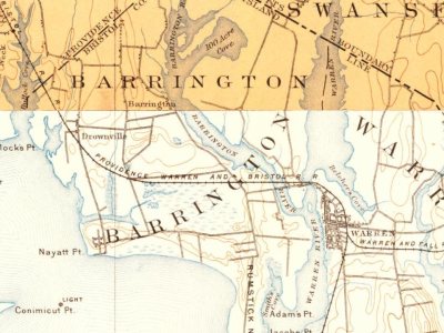


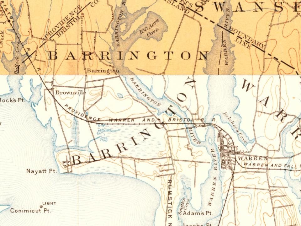
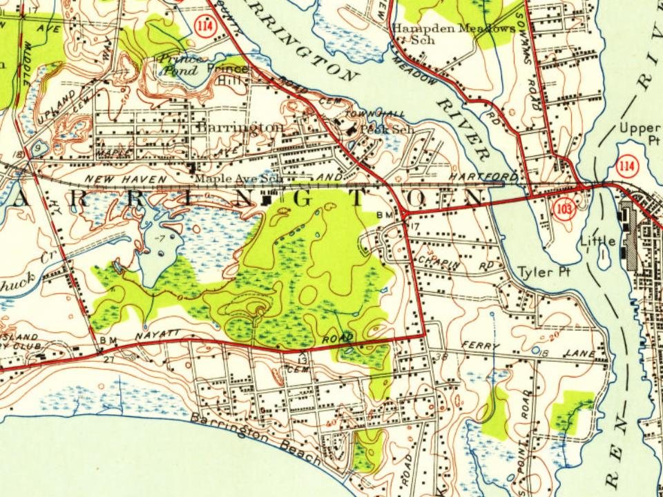


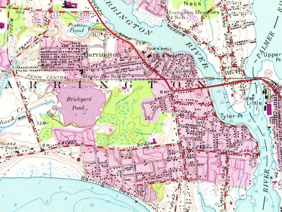


 1898
 1898
 1898
 1898
 1898
 1898
 1898
 Date?
 2020
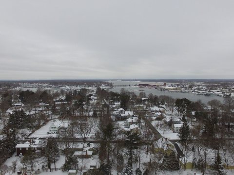 2017
 2016
 2014
 2014
 2014
 2014
 2013
 2008