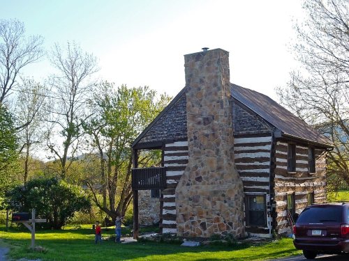
On its age, its old homes and the National Register, Peters Township is more historic than 83% of U.S. towns, #280 of 1,035 in Pennsylvania. All 2 inputs are above most U.S. towns; its National Register listings ranks highest and its share of homes from before 1940 lowest.
A−
HistoryA character grade: shown, never part of Peters Township’s overall grade.
Pennsylvania towns list about as much on the Register as the country (a typical Pennsylvania town has 2.1 per 10,000 residents, the U.S. 2.4), so Peters Township’s 24.6 sits above most of its state (83% of Pennsylvania towns have fewer) while its 11 historic buildings outnumber those of 76% of U.S. towns.
How sure. Graded on two of the three inputs, so a change in either one moves the letter more than it would with three. The pre-1940 share is a Census survey estimate (±6.0 points).
Founding year: our sources. Homes: Census ACS 2020–24. National Register: National Park Service, May 2026 list; each listing counted once (boundary changes and added documentation belong to their listing), and a historic district counts its contributing buildings. How TownRatings grades history →
What stands out about Peters Township’s past
Read from the archive, the National Register and the record. The page puts what stands out first.
Fort SteelmilitaryMount Parnell Fish HatcheryparkMount Parnell Fish Hatcherylocale
11cemeteries and burying grounds inside Peters Township
Charlestown United Methodist ChurchFellowship Independent BrethrenHawbeckerHege FarmLoop Farm FamilyMarkes OldMartzOld Reformed and Lutheran ChurchSpring GroveStenger HillUpton Church of the Brethren
US Post Offices dataset (Blevins & Helbock, CC0). Places and cemeteries from the USGS Geographic Names Information System (2021).
Help out
Start Peters Township’s collection
The first neighbors to add old photos shape how Peters Township’s history is told.
Decades since 1900 with photos
00s10s20s30s40s50s60s70s80s90s
0 of 10 decades. The empty ones are waiting for someone’s album.
Every edition of the U.S. Geological Survey’s map of Peters Township. Tap a year, or press play to watch the town change.
1900Mercersburg sheet · 1:62,500
U.S. Geological Survey historical topographic maps (public domain), via Esri’s collection of the scans. The red ring marks the center of Peters Township.
The story so far
Peters Township, in brief
Wikipedia doesn’t have a history of Peters Township yet. The photos, dates and memories neighbors add here are how it gets written.
Its population held steady between the last two censuses: 4,430 in 2010, 4,462 in 2020.
From the old history books
What they wrote about Peters Township in 1887
Passages that mention Peters Township, cut from the printed page as they were published.
History of Franklin county, Pennsylvania1887 · page 151Read the page →
Read the text
On the west bank of the Conococheague, near the present site of Bridgeport, in Peters Township, settled William McDowell in 1730 or 1731. He had a large family of sons and daughters, who became prominent in the subsequent development of the country. The records of the surveyor's office show that warrants for land were held in what is Peters Township, as early as 1737, by Rev. John Black and Samuel Han-is; 1738, Andrew McCleary; 1742, Henry Johnston and John Taylor; 1743, James Glenn, William Burney and James McClellan; 1744, Robert McClellan. By McCauley it is claimed that some of
Text read by machine from the scan; it may contain errors.
History of Franklin County, Pennsylvania1887 · page 151Read the page →
Read the text
On the west bank of the Conococheague, near the present site of Bridgeport. in Peters Township, settled William McDowell in 1730 or 1731. He had a large family of sons and daughters, who became prominent in the subsequent development of the country. The records of the surveyor's office show that warrants for land were held in what is Peters Township, as early as 1737, by Rev. John Black and Samuel Harris; 1738, Andrew McCleary; 1742, Henry Johnston and John Taylor; 1743, James Glenn, William Burney and James MeClellan; 1744, Robert McClellan. By McCauley it is claimed that some of
Text read by machine from the scan; it may contain errors.
History of Franklin County, Pennsylvania1887 · page 216Read the page →
Read the text
At the April session of the court of Cumberland County, 1761, a petition of the people of Peters Township was presented, asking for a road, saying that they have no prospect for a standing market for the produce of the county, only at Baltimore, and having no road leading from their township to said town of Baltimore, and flour being the principal commodity their ‘‘ township produceth, and having two mills in said township, viz.: John MeDowell's and William Smith’s,’’ they pray the court to appoint men to view and lay out a road from each of said mills to meet at or near the house of William Maxwell,
Text read by machine from the scan; it may contain errors.
History of Franklin county, Pennsylvania1887 · page 185Read the page →
Read the text
Here and there, through all the annals of the Revolution, is to be found a hero, who was a native of what is now Franklin County. Of these Col. James Smith, a native of Peters Township, has left an illustrious record. As early as 1755, while engaged in opening a road from Fort Loudoun to Bedford, he was captured by the Indians. He was adopted in the Conewago tribe and remained with them until 1759, when he escaped to Montreal, and reached his home in 1760. In 1763 he was actively engaged against the Indians, as captain of a company of rangers. He then became an ensign in the English
Text read by machine from the scan; it may contain errors.
Scans and text from the Internet Archive. Books published in 1930 or earlier, which are in the public domain.
Timeline
Peters Township, 1814 to 1906
Woven from the archive, old maps, post office records, the National Register and the people born here.
Peters Township is more historic than 83% of U.S. towns, #280 of 1,035 in Pennsylvania. The History grade combines the town’s founding era, the share of homes built before 1940 and its National Register listings. It’s a character grade, so it isn’t part of the overall grade. How it works.
What is on the National Register in Peters Township?
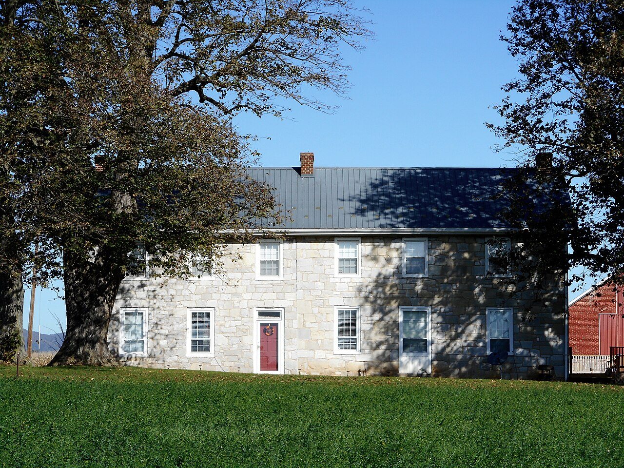
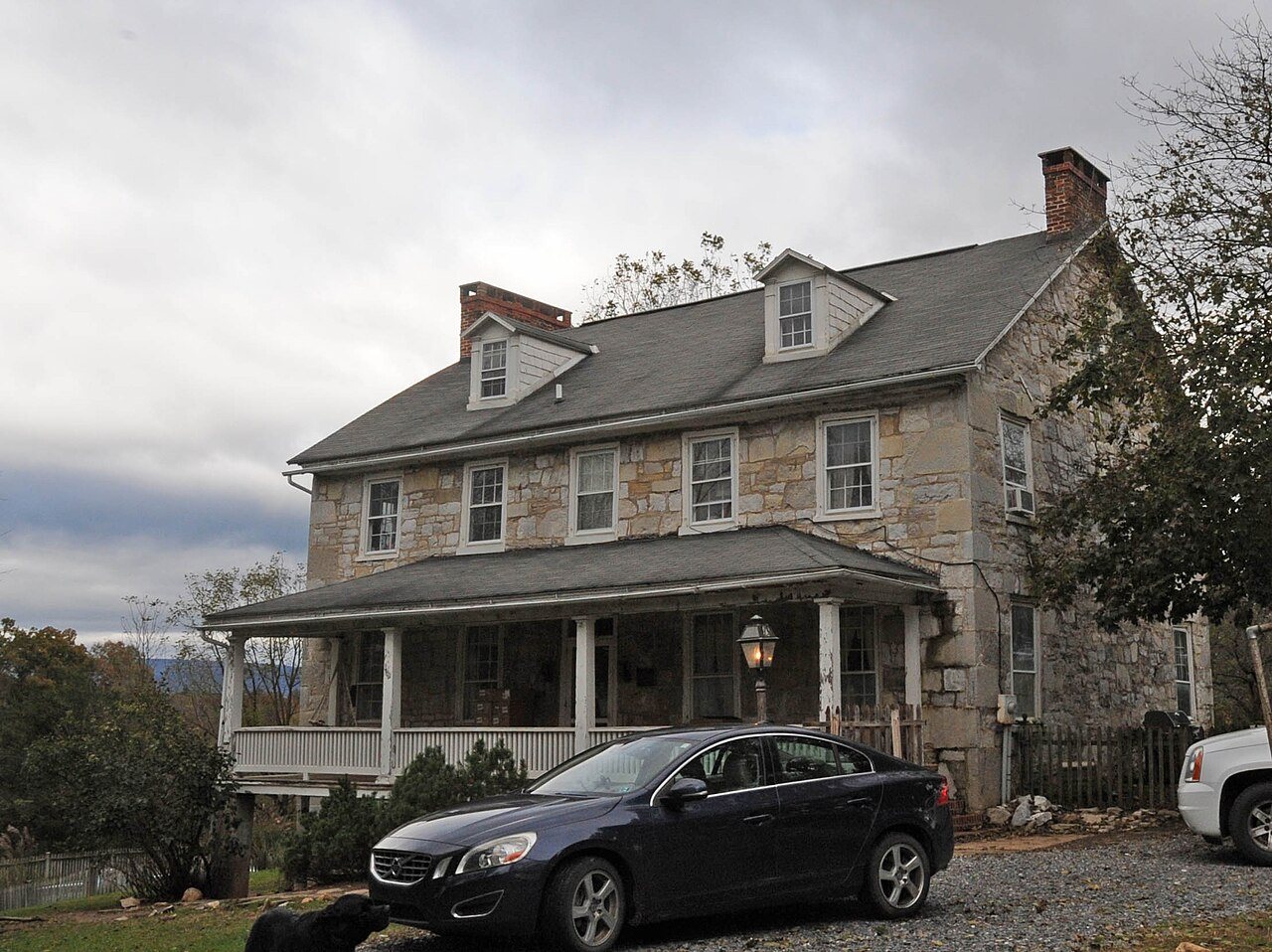
4 listings: 4 buildings, among them the Church Hill Farm (listed 1980, the first). 11 historic buildings in all.
How old are the homes in Peters Township?
16% of Peters Township’s homes were built before 1940 (Census estimate, ±6.0 points), against a typical 18% for a Pennsylvania town; the median home was built in 1974.
Founding dates: Wikidata, Wikipedia, the U.S. post office records of Blevins & Helbock (CC0) and the Census. Homes by year built: Census ACS 2020–24. National Register of Historic Places: National Park Service (list of May 22, 2026). Old photos, postcards and papers: Wikimedia Commons, the Library of Congress and other public archives, credited on each item’s page. Maps: U.S. Geological Survey historical topographic maps (via Esri) and Sanborn fire-insurance maps (Library of Congress). History text and census tables: Wikipedia (CC BY-SA 4.0). Places that used to be: USGS Geographic Names Information System (2021).
From the National Register of Historic Places (4), U.S. Geological Survey historical maps, the US Post Offices dataset (Blevins & Helbock), the USGS Geographic Names Information System and old county and town histories (Internet Archive). Archive images are copied here with their credits and licenses, shown on each photo’s page. Refreshed monthly.