
Rowena Oregon, 2009
Rowena’s story
115 years in pictures
The archive holds 2 old photos and papers going back to 2009.
- 1911Rowena is settled
Each edition grades its towns against each other only.

This town of 181 people was settled in 1911.
58% of residents live below the poverty line in Rowena, above both the Oregon town median (11%) and the median of U.S. towns (9.6%). No town among the 143 in Oregon we compare has a lower home-ownership rate than Rowena. 53% of the land in Rowena is conserved, above both the Oregon town median (4.4%) and the median of U.S. towns (4.3%). Mount Hood National Forest, at 522 acres with 1.2 miles of trail, is the biggest park or preserve. Rowena has fewer than 1,000 residents, too few for fair grades; the figures below are still real.
In a town this size, neighbors are the best guide. Ask them anything.
The archive holds 2 old photos and papers going back to 2009.
Rowena is unincorporated, so Wasco County and regional agencies provide most services.
EPA SDWIS (Oct 9, 2026) · HIFLD + EIA-861 2025 · Census 2020 ZCTAs · NCES 2024–25 · registration: vote.gov, updated Oct 2, 2026.
Ordered by what stands out in Rowena.
In 3 parks and preserves, walkers have 1.8 miles of trail. The trail network density for Rowena comes to 1.0 miles per square mile.
| Biggest places to walk | Trails | Acres |
|---|---|---|
| 1. Mount Hood National Forest | 1.2 mi | 522 |
| 2. Mayer State Park | — | 65 |
| 3. Tom McCall Preserve at Rowena | 0.1 mi | 15 |
Trails & parks © OpenStreetMap contributors · Conserved land: USGS PAD-US
61% of Rowena’s expected losses from natural hazards come from wildfires, followed by inland flooding at 28%. Expected storm and flood damage is higher than in 95% of U.S. communities.
FEMA National Risk Index · OpenFEMA
The top destinations are The Dalles (45%), Portland (8%) and Hood River (5%). Half the trips to work are shorter than 11 miles.
Census LEHD 2023 · ACS
The range runs from 31° on a January night to 86° on a July afternoon, with about 6 inches of snow a winter.
NOAA U.S. Climate Normals, 1991–2020
In Rowena, 14% of adults binge drink. On the CDC’s 26 measures, Rowena is ahead of Oregon on 2 and behind on 10. Two in five adults here have high blood pressure; 16% report frequent physical distress.
| Rowena | Oregon towns | U.S. towns | |
|---|---|---|---|
| Diabetes (CDC PLACES) | 15% | 11% | 12% |
| High blood pressure (CDC PLACES) | 40% | 33% | 35% |
| Frequent physical distress (CDC PLACES) | 16% | 15% | 14% |
| Binge drink (CDC PLACES) | 14% | 15% | 16% |
| What stands out | Rowena | OR |
|---|---|---|
| More adults treating high blood pressure | 77% | 71.4% |
| More adults getting cholesterol checked | 87.4% | 84% |
| More older adults who have lost all their teeth | 18.6% | 12.5% |
CDC PLACES 2025 · modeled estimates for adults · CMS · HRSA
Museums, parks, gardens and other places to visit around Rowena. Close and well known come first.
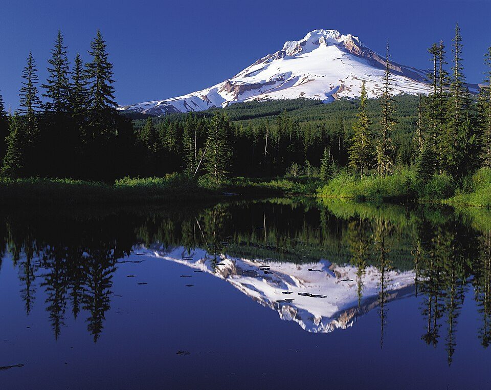 Big draw29 mi MountainMount Hood
 38 mi MountainMount Adams
 25 mi Canyon & gorgeColumbia River Gorge
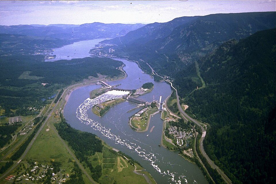 32 mi DamBonneville Dam
 20 mi MuseumMaryhill Museum of Art
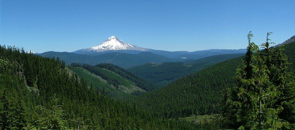 29 mi National forestMount Hood National Forest
Mount Hood: Oregon's Mt. Hood Territory., Public domain · Mount Adams: USGS Photo by R. Iverson, USGS/CVO, Public domain · Columbia River Gorge: Hux, Public domain · Bonneville Dam: U.S. Army Corps of Engineers, Public domain · Maryhill Museum of Art: Cacophony, CC BY 3.0 · Mount Hood National Forest: Andy Barrett (User:Big Smooth), CC BY 2.5
1 within 15 miles of the center of Rowena
About 0 of every 100 Rowena residents are enrolled in college, against 6 across Oregon.
52.6% of the town is conserved land, across 3 parks and preserves.
Unincorporated community in the state of Oregon, United States
Rowena is an unincorporated community in Wasco County, Oregon, United States. For statistical purposes, the United States Census Bureau has defined Rowena as a census-designated place (CDP). The census definition of the area may not precisely correspond to local understanding of the area with the same name. As of the 2020 census, Rowena had a population of 192. Rowena is located west of The Dalles on the Columbia River, where the river passes through the natural feature Rowena Gap. Interstate 84 (Columbia River Highway) and U.S. Route 30 (Historic Columbia River Highway) pass through the community. Route 30 near Rowena is notable for the Rowena Loops. The origin of the name "Rowena" is disp…
From Wikipedia, licensed CC BY-SA 4.0 · facts via Wikidata (CC0)
Short answers, built from the data on this page.
Rowena has fewer than 1,000 residents, too few for fair grades; the figures below are still real.


