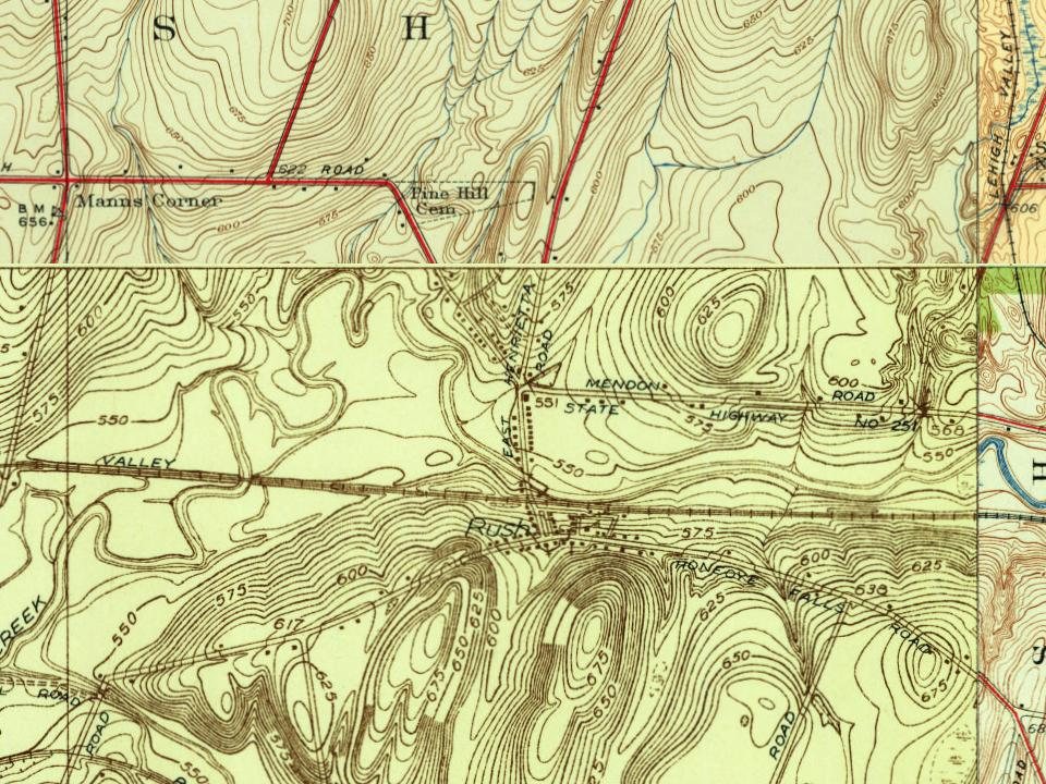
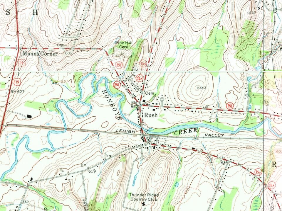
Founding year: Wikipedia. First post office: 1819.The full story ↓
History grade
What drives Rush’s History grade
On its age, its old homes and the National Register, Rush is more historic than 74% of U.S. towns, #499 of 758 in New York. Its share of homes from before 1940 holds the grade up; its National Register listings pull it down.
B+
HistoryA character grade: shown, never part of Rush’s overall grade.
New York towns list more on the Register than most of the country (a typical New York town has 12.3 per 10,000 residents, the U.S. 2.4), so Rush’s 2.9 sits below most of its state (29% of New York towns have fewer) while its 1 listings outnumber those of 51% of U.S. towns.
How sure. Graded on any two of the three inputs instead, the letter would range from B to A−. The pre-1940 share is a Census survey estimate (±7.6 points). Two sources give 1818.
Founding year: Wikipedia (other dates in Quick answers). Homes: Census ACS 2020–24. National Register: National Park Service, May 2026 list; each listing counted once (boundary changes and added documentation belong to their listing), and a historic district counts its contributing buildings. How TownRatings grades history →
What stands out about Rush’s past
Read from the archive, the National Register and the record. The page puts what stands out first.
Rush was established in 1818 from the town of Avon in what was then Genesee County. It was either named after the rushes growing along the creek, or after Dr. Benjamin Rush, a Founding Father of the United States.
Passages that mention Rush, cut from the printed page as they were published.
History of Rochester and Monroe county, New York1908 · page 1317Read the page →
Read the text
process of moving the school from its old location in a thickly settled section in the city of Rochester to a fourteen hundred acre tract in the town of Rush, twelve miles south of the cit.y, took place. This change revolutionized the method of caring for delinquent boys. In the old institution in the city the boys were confined within stone walls twenty-two feet high and were divided into four
Text read by machine from the scan; it may contain errors.
The JTemloek lake, or gravitating supply, involved the construction of two largo reservoirs, one in the town of Rush and the other in the city, and the layiog of an iron conduit a distance of twenty-eight miles, and also necessary workj •it Hemlock lake to tap the same one thousand feet from shore. From the date when the Holly works were first put in operation, as fast as the city mains were laid, although belungiug to the Hemlock system, they were filled with water from the river, and kept under pressure by the Holly pumps, until the amount had ri'achcd a total of fifty-four miles. January 23, 1876, the Hemlock water was
Text read by machine from the scan; it may contain errors.
In 1S02 roads were laid out tiom Markliam's bridge to Hon.H)ye, at white oak on the ca»t side of lot 30, and from Stall's lot to Norton s mills. (In June 1-1 and 15, 1S04, a highway was locateil I'mm the present site of East Rush, along the same lifie as the present mad, southwest through the Public S-iuare, on lot 29, to the north end of a road leading to Joseph Pearson's. In l&'ta, Stephen Prutt surveyed a road from the Charleston line to the Houeoyc settlement; and in ISOC fiiur roads were laid, one from Stull's farm, past the house of C. Thomas, across Stony Brook, to a highway leading to Golf's settlement; one from Christie
Text read by machine from the scan; it may contain errors.
Scans and text from the Internet Archive. Books published in 1930 or earlier, which are in the public domain.
Timeline
Rush, 1811 to 2000
Woven from the archive, old maps, post office records, the National Register and the people born here.
In 1818, according to Wikipedia’s history of the town. Rush’s post office opened in 1819, and the census of 1820 counted 1,701 people here.
How does Rush rank for history?
Rush is more historic than 74% of U.S. towns, #499 of 758 in New York. The History grade combines the town’s founding era, the share of homes built before 1940 and its National Register listings. It’s a character grade, so it isn’t part of the overall grade. How it works.
What is on the National Register in Rush?
One place: the Wrayholm (listed 2025).
How old are the homes in Rush?
24% of Rush’s homes were built before 1940 (Census estimate, ±7.6 points), against a typical 27% for a New York town; the median home was built in 1965.
Founding dates: Wikidata, Wikipedia, the U.S. post office records of Blevins & Helbock (CC0) and the Census. Homes by year built: Census ACS 2020–24. National Register of Historic Places: National Park Service (list of May 22, 2026). Old photos, postcards and papers: Wikimedia Commons, the Library of Congress and other public archives, credited on each item’s page. Maps: U.S. Geological Survey historical topographic maps (via Esri) and Sanborn fire-insurance maps (Library of Congress). History text and census tables: Wikipedia (CC BY-SA 4.0). Places that used to be: USGS Geographic Names Information System (2021).
From Wikimedia Commons (6), the National Register of Historic Places (1), Wikipedia, Wikidata and Wikipedia for famous people, U.S. Geological Survey historical maps, U.S. Census counts (via Wikipedia), the US Post Offices dataset (Blevins & Helbock), the USGS Geographic Names Information System and old county and town histories (Internet Archive). Archive images are copied here with their credits and licenses, shown on each photo’s page. Refreshed monthly.


 2010
 2010
 2010
 2010
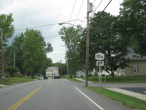 2009
 2005