Peru dates to 1772, and 16% of its homes were built before 1940
More historic than 85% of U.S. towns · #349 of 758 in New York. What drives it
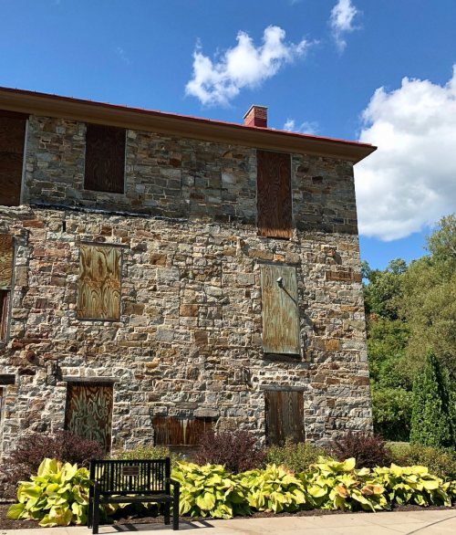
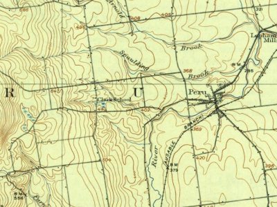
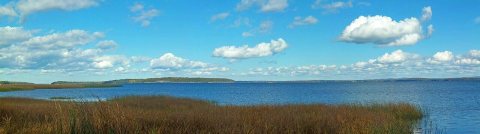
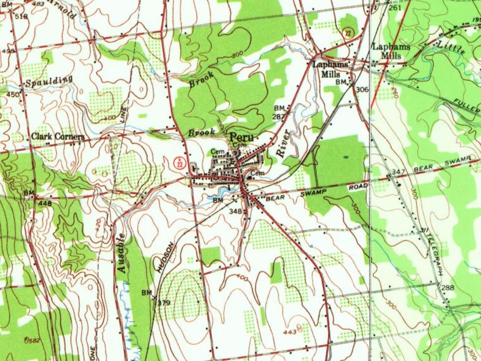
7 places in town are on the National Register, among them the Valcour Bay, a National Historic Landmark. Below: 1 old photo or paper, maps from 1913 on, and the census since 1820.
Founding year: Wikidata. First post office: 1798.The full story ↓
History grade
What drives Peru’s History grade
On its age, its old homes and the National Register, Peru is more historic than 85% of U.S. towns, #349 of 758 in New York. All 3 inputs are above most U.S. towns; its age ranks highest and its National Register listings lowest.
A
HistoryA character grade: shown, never part of Peru’s overall grade.
New York towns list more on the Register than most of the country (a typical New York town has 12.3 per 10,000 residents, the U.S. 2.4), so Peru’s 10.4 sits near the middle of its state (46% of New York towns have fewer) while its 7 listings outnumber those of 73% of U.S. towns.
NoteThe founding year comes from Wikidata alone; no second source gives 1772.
How sure. Graded on any two of the three inputs instead, the letter would range from B+ to A. The pre-1940 share is a Census survey estimate (±5.9 points).
Founding year: Wikidata (other dates in Quick answers). Homes: Census ACS 2020–24. National Register: National Park Service, May 2026 list; each listing counted once (boundary changes and added documentation belong to their listing), and a historic district counts its contributing buildings. How TownRatings grades history →
What stands out about Peru’s past
Read from the archive, the National Register and the record. The page puts what stands out first.
The area was first settled by Connor VanNess in 1772. The Battle of Valcour Island was fought in Lake Champlain in the eastern part of Peru in 1776.
Peru was formed from parts of the towns of Plattsburgh and Willsboro (the latter now in Essex County) in 1792. Part of Peru was returned to Willsboro in 1799. In 1838, part of the town was used to form the towns of Au Sable and Black Brook.
On April 20, 2002, around 6:50 am, a magnitude 5.2 earthquake was centered in the western part of Peru, 15 miles (24 km) southwest of Plattsburgh with only marginal damages.
Passages that mention Peru, cut from the printed page as they were published.
History of the conquest of Peru1908 · page 601Read the page →
Read the text
Settlement of the Country 60 1 from the place of his birth, came over to Peru, and served as a private in the royal army raised to quell the insurrection that broke out after Gasca's return to Castile. Amidst his military occupations, he found leisure to collect materials for a history of the period, to which he was further urged by the viceroy, Mendoza, Marques de Canete, who bestowed on him, as he tells us, the post of Chronicler of Peru. This mark of con-
Text read by machine from the scan; it may contain errors.
Scans and text from the Internet Archive. Books published in 1930 or earlier, which are in the public domain.
Timeline
Peru, 1772 to 2010
Woven from the archive, old maps, post office records, the National Register and the people born here.
In 1772, according to Wikidata. Peru’s post office opened in 1798, and the census of 1820 counted 2,710 people here.
How does Peru rank for history?
Peru is more historic than 85% of U.S. towns, #349 of 758 in New York. The History grade combines the town’s founding era, the share of homes built before 1940 and its National Register listings. It’s a character grade, so it isn’t part of the overall grade. How it works.
What is on the National Register in Peru?
7 listings: 4 buildings, 1 site, and 2 structures.
How old are the homes in Peru?
16% of Peru’s homes were built before 1940 (Census estimate, ±5.9 points), against a typical 27% for a New York town; the median home was built in 1976.
Founding dates: Wikidata, Wikipedia, the U.S. post office records of Blevins & Helbock (CC0) and the Census. Homes by year built: Census ACS 2020–24. National Register of Historic Places: National Park Service (list of May 22, 2026). Old photos, postcards and papers: Wikimedia Commons, the Library of Congress and other public archives, credited on each item’s page. Maps: U.S. Geological Survey historical topographic maps (via Esri) and Sanborn fire-insurance maps (Library of Congress). History text and census tables: Wikipedia (CC BY-SA 4.0). Places that used to be: USGS Geographic Names Information System (2021).
From Wikimedia Commons (3), the National Register of Historic Places (7), Wikipedia, U.S. Geological Survey historical maps, U.S. Census counts (via Wikipedia), the US Post Offices dataset (Blevins & Helbock), the USGS Geographic Names Information System and old county and town histories (Internet Archive). Archive images are copied here with their credits and licenses, shown on each photo’s page. Refreshed monthly.




 2015
 2012


 ★ Landmark

