Guest, Sign inJoin

Post to Pelham

We’ll email a one-tap link to publish your post. No password, and nothing is public until you click it.
Already a member? Sign in
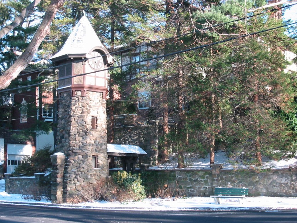
Clock tower on harmomPhoto: Cliffy from Pelham, USA · CC BY 2.0
AHistory
History · Pelham

Pelham dates to 1788, and 65% of its homes were built before 1940

More historic than 89% of U.S. towns · #286 of 758 in New York. What drives it

6 places in town are on the National Register. Below: 17 old photos and papers, maps from 1897 on, and the census since 1790.

1788founded
6on the National Register
65%homes built before 1940
17old photos & papers
12famous people
From Pelham’s archive · credits on each photo
Quick answers

How Pelham began

When was Pelham founded?

1788

Pelham dates its founding to 1788 (Wikidata). It appears in the first U.S. census, 1790.

First census: 199 in 17902020 census: 13,078238 years

How historic is Pelham?

A

More historic than 89% of U.S. towns, on its age, its old homes and the National Register.

What drives the grade ↓
Founding year: Wikidata. First post office: 1849.The full story ↓
History grade

What drives Pelham’s History grade

On its age, its old homes and the National Register, Pelham is more historic than 89% of U.S. towns, #286 of 758 in New York. All 3 inputs are above most U.S. towns; its share of homes from before 1940 ranks highest and its National Register listings lowest.

A
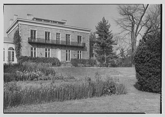
HistoryA character grade: shown, never part of Pelham’s overall grade.
All U.S. towns we grade (21,289)Ahead of 89%
NewerOlder
New York towns of 2,500+ (758)Ahead of 62%

New York towns list more on the Register than most of the country (a typical New York town has 12.3 per 10,000 residents, the U.S. 2.4), so Pelham’s 4.6 sits below most of its state (34% of New York towns have fewer) while its 6 listings outnumber those of 72% of U.S. towns.

NoteThe founding year comes from Wikidata alone; no second source gives 1788.
How sure. Graded on any two of the three inputs instead, the letter would range from B+ to A+. The pre-1940 share is a Census survey estimate (±5.7 points).

Founding year: Wikidata (other dates in Quick answers). Homes: Census ACS 2020–24. National Register: National Park Service, May 2026 list; each listing counted once (boundary changes and added documentation belong to their listing), and a historic district counts its contributing buildings. How TownRatings grades history →

What stands out about Pelham’s past

Read from the archive, the National Register and the record. The page puts what stands out first.

★ What stands out · People over time

Pelham, census by census

02,0004,0006,0008,00010,00012,00014,000180018501900195020003,941 in 1890Low: 1,571

Lost half of its people between 1890 and 1900, then grew 8-fold.

22 censuses, 1790–2020.

U.S. Census Bureau decennial counts, from the census table on Pelham’s Wikipedia page.

Places that used to be

Lost post offices and old corners

Pelham had its own post office from 1849 to 1893. Four other post offices opened and closed inside today’s town.

Pelham
1849–1893
Pelham Station
1873–1878
Pelhamville
1878–1896
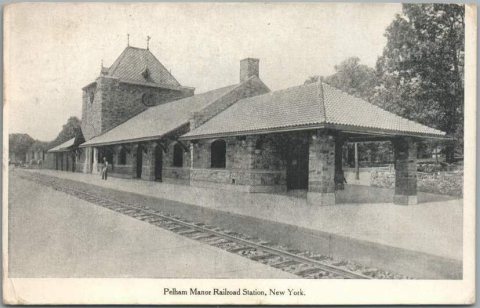
Pelham Manor
1879–1910
Pelham
1896–1910
18401930today
Hamlets and corners on the map
North PelhamPelham Manor

US Post Offices dataset (Blevins & Helbock, CC0). Places and cemeteries from the USGS Geographic Names Information System (2021).

On the map

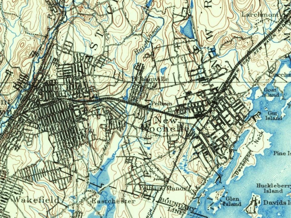
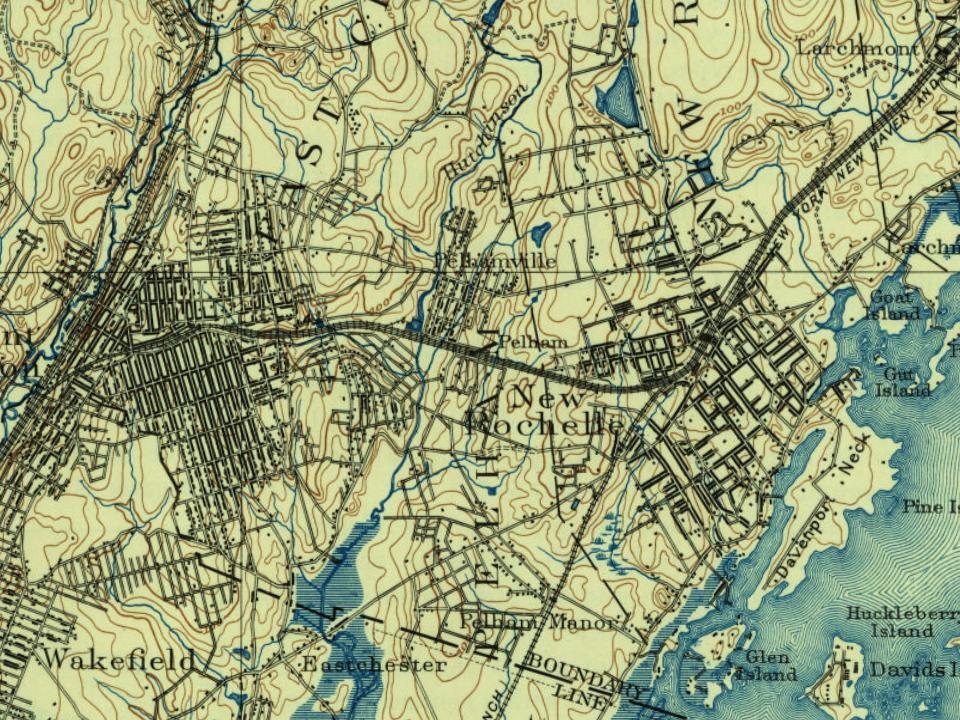
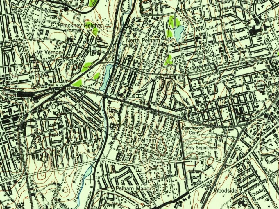
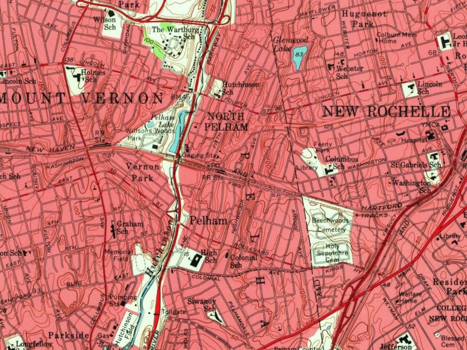
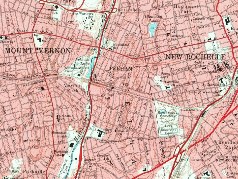
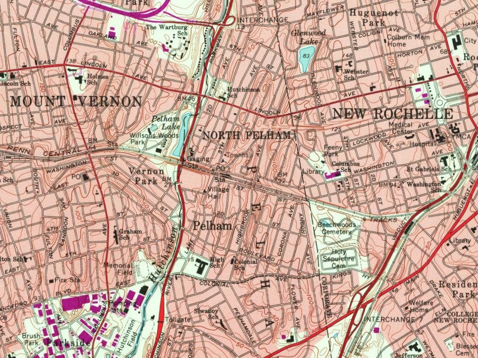
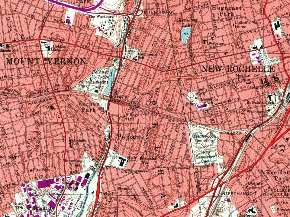
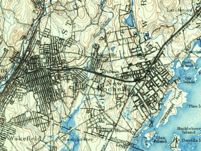
Pelham on the map, 1897 to 1995

Every edition of the U.S. Geological Survey’s map of Pelham. Tap a year, or press play to watch the town change.

Pelham on the 1897 USGS mapPelham on the 1900 USGS mapPelham on the 1947 USGS mapPelham on the 1956 USGS mapPelham on the 1966 USGS mapPelham on the 1979 USGS mapPelham on the 1995 USGS map1897Harlem sheet · 1:62,500

U.S. Geological Survey historical topographic maps (public domain), via Esri’s collection of the scans. The red ring marks the center of Pelham.

The story

How Pelham came to be

From Wikipedia’s history of Pelham.

Read it all →

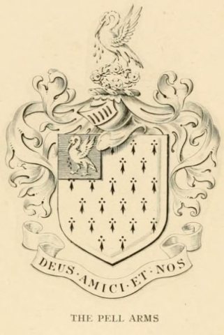
In 1654, Thomas Pell bought the area within the present-day town from the Siwanoy Indians, establishing the vast Manor of Pelham. The Census of slaves, conducted in the Province of New York in 1755, listed 24 enslaved individuals in Pelham Manor.

Text from Wikipedia, licensed CC BY-SA 4.0.

From the old history books

What they wrote about Pelham in 1886

Passages that mention Pelham, cut from the printed page as they were published.

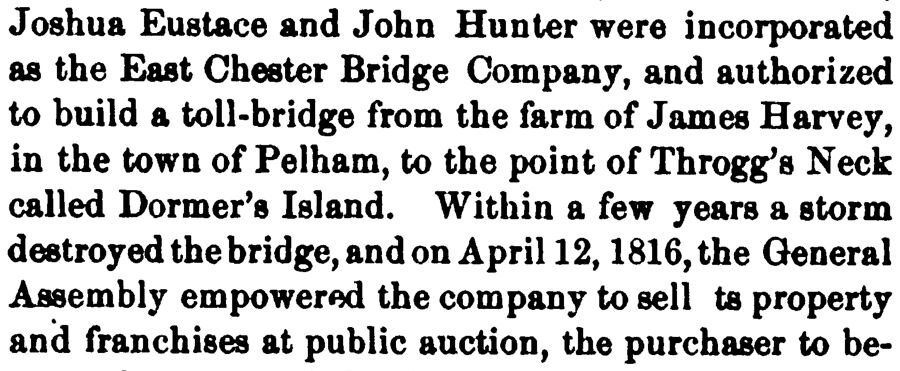
Joshua Eustace and John Hunter were incorporated as the East Chester Bridge Company, and authorized to build a toll-bridge from the farm of James Harvey, in the town of Pelham, to the point of Throgg's Neck called Dormer's Island. Within a few years a storm destroyed the bridge, and on April 12, 18…
History of Westchester county, New York, including Morrisania, Kings Bridge, and West Farms, which have been annexed to New York city1886 · page 815Read the page →
Read the text

Joshua Eustace and John Hunter were incorporated as the East Chester Bridge Company, and authorized to build a toll-bridge from the farm of James Harvey, in the town of Pelham, to the point of Throgg's Neck called Dormer's Island. Within a few years a storm destroyed the bridge, and on April 12, 1816, the (General Assembly empowered the company to sell ts property and franchises at public auction, the purchaser to be-

Text read by machine from the scan; it may contain errors.
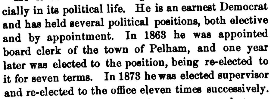
cially in its political life. He is an earnest Democrat and has held several political positions, both elective and by appointment. In 1863 he was appointed board clerk of the town of Pelham, and one year later was elected to the position, being re-elected to it for seven terms. In 1873 he was elec…
History of Westchester county, New York, including Morrisania, Kings Bridge, and West Farms, which have been annexed to New York city1886 · page 714Read the page →
Read the text

cially in its political life. He is an earnest Democrat and has held several political positions, both elective and by appointment. In 1863 he was appointed board clerk of the town of Pelham, and one year later was elected to the position, being re-elected to it for seven terms. In 1873 he was elected supervisor and re-elected to the office eleven times successively.

Text read by machine from the scan; it may contain errors.

Scans and text from the Internet Archive. Books published in 1930 or earlier, which are in the public domain.

Timeline

Pelham, 1788 to 1931

Woven from the archive, old maps, post office records, the National Register and the people born here.

  1. 18th century
  2. 1788
    FoundingPelham is established
  3. 19th century
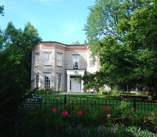
  4. 1838BuiltBolton Priory is built
  5. 1849Post officeThe Pelham post office opens
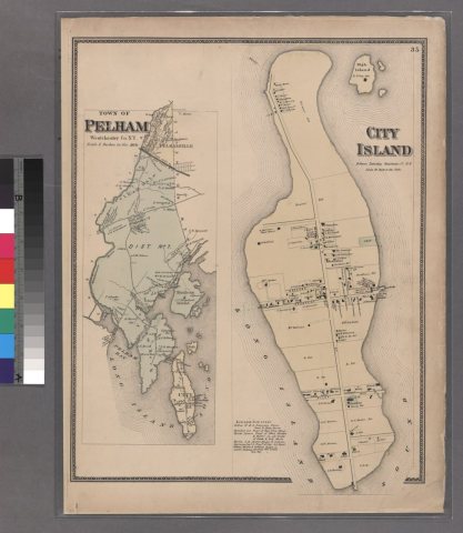
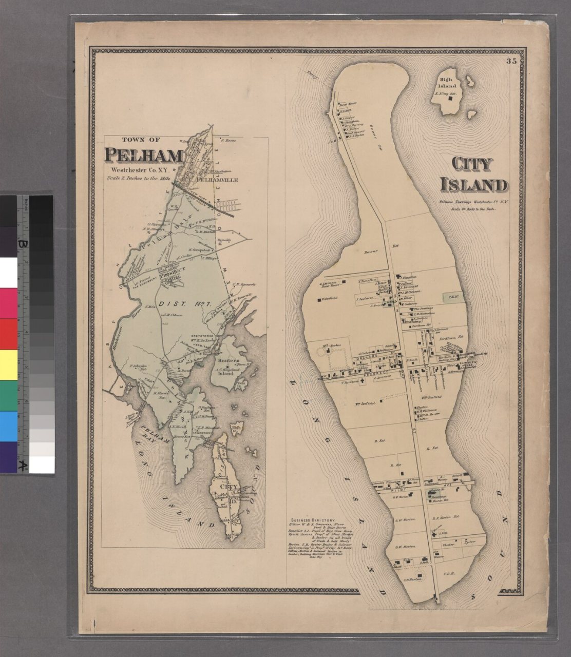
  6. 1868In the archivePlate 35- City Island, Pelham Township, Westchester Co. N.Y
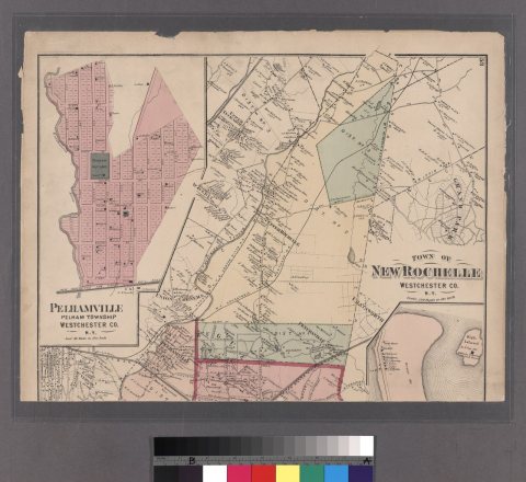
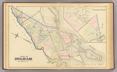
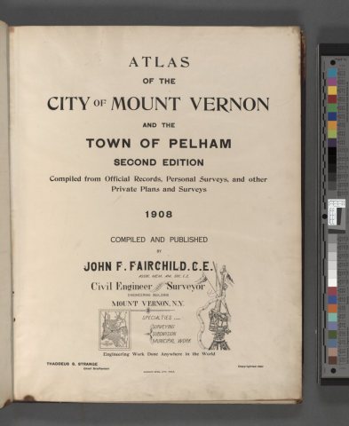
  7. 1872In the archivePlates 53 and 54- Town of New Rochelle, Westchester Co. N.Y. - Town of Pelham, Westcheste…
  8. 1873Post officeThe Pelham Station post office opens
  9. 1878Post officeThe Pelham Station post office closes
  10. 1878Post officeThe Pelhamville post office opens
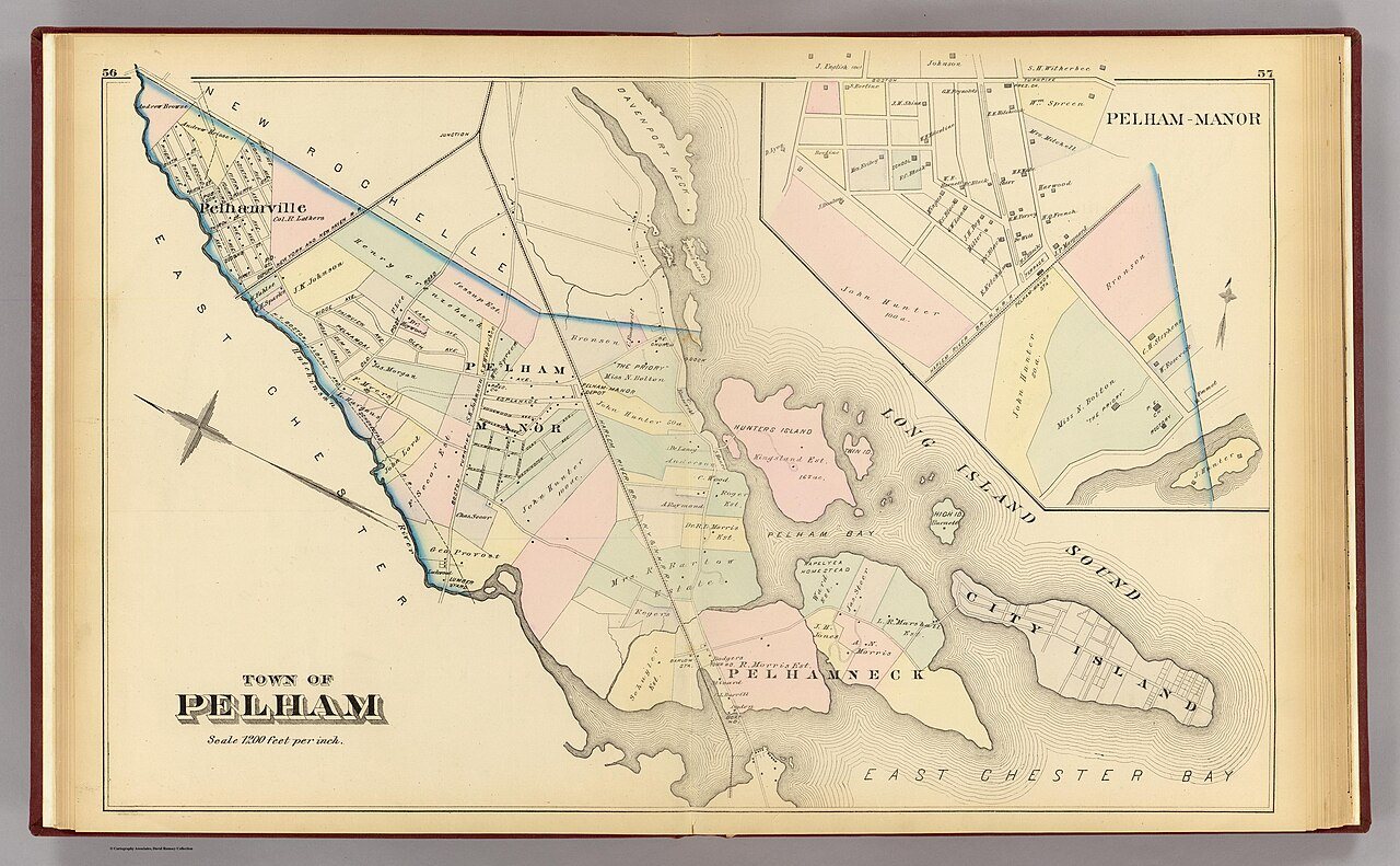
  11. 1881In the archiveTown of Pelham. (with) Pelham-Manor. (From actual surveys and official records by G.W. Br…
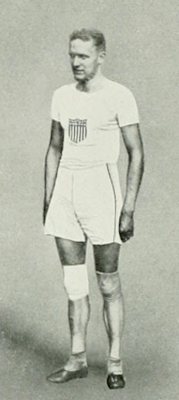
  12. 1890Born hereHarry Babcock is born here
  13. 1891Born hereTell Berna is born here
  14. 1893Post officeThe Pelham post office closes
  15. 1896Post officeThe Pelhamville post office closes
  16. 1897On the mapFirst mapped by the U.S. Geological Survey
  17. 20th century
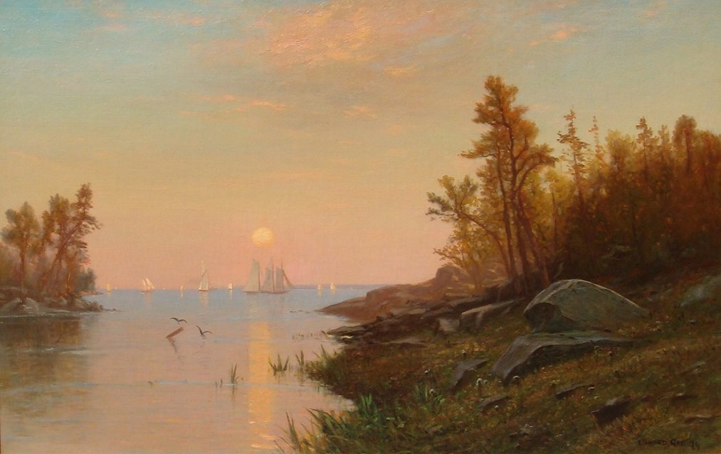
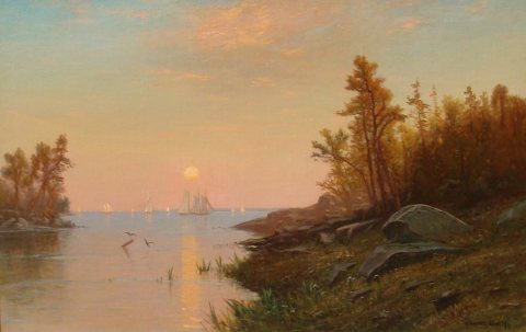
  18. 1900In the archiveView of Long Island Sound near Pelham Manor
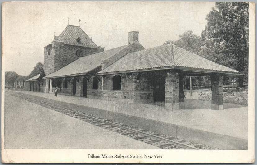
  19. 1910In the archivePelham Manor station 1910 postcard
  20. 1921BuiltPelham Picture House is built
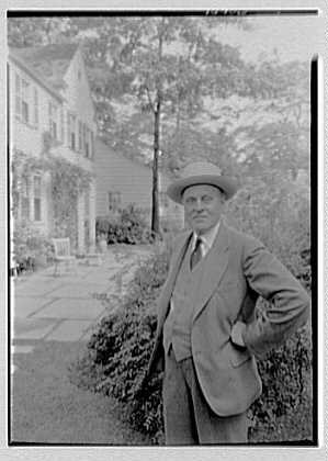
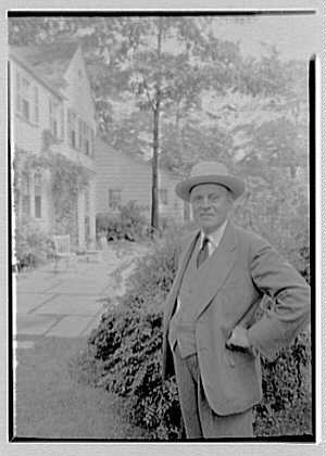
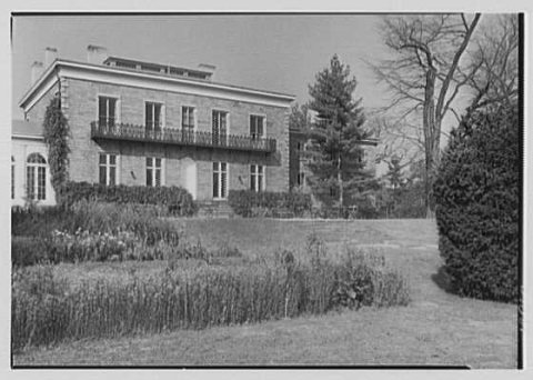
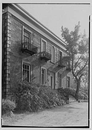
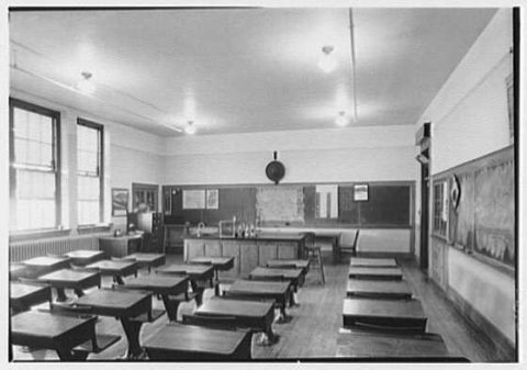
  21. 1931In the archiveArchitects and their work, Electus D. Litchfield, Barr House, Pelham, New York. LOC gsc.5…
By decade

Pelham, decade by decade

7 decades in the archive, from the 1860s to the 1940s. Scroll each row; tap a photo for its story.

Then & now

Stand where they stood

No then-and-now pairs yet. Take a photo from the same spot as an old one and they appear here side by side.

Plate 35- City Island, Pelham Township, Westchester Co. N.Y
Retake this viewPlate 35- City Island, Pelham Township, Westchester Co. N.Y, 1868

Find the spot, match the angle, and add your photo. It becomes the first then-and-now pair on Pelham’s page.

Retake this view · +15
On the National Register

6 historic places in Pelham

The country’s official list of buildings and places worth saving.

places listed
6
National Historic Landmarks
0
none yet
historic buildings protected
6
each building in a district counts
first listed
1974
Bolton Priory
BuildingsStructures

Architectural styles listings

Colonial Revival1
Late 19th and 20th Century Revivals1
Mission1
All 6 listings

National Park Service, National Register of Historic Places. Photos from Wikimedia Commons, credited on each place’s page.

Famous people

12 famous people were born in Pelham

Writers, athletes, leaders and more, ranked by how widely they’re known.

See all →
Help out

Finish Pelham’s story

Most archives stop around 1920. The photos from after that are in family albums, not libraries.

Decades since 1900 with photos
00s10s20s30s40s50s60s70s80s90s
4 of 10 decades. The empty ones are waiting for someone’s album.
Stories next door

History across the town line

Each neighbor’s History grade, on the same three inputs.

Questions about Pelham’s history

What year was Pelham founded?

In 1788, according to Wikidata. Pelham’s post office opened in 1849, and the first U.S. census counted 199 people here in 1790.

How does Pelham rank for history?

Pelham is more historic than 89% of U.S. towns, #286 of 758 in New York. The History grade combines the town’s founding era, the share of homes built before 1940 and its National Register listings. It’s a character grade, so it isn’t part of the overall grade. How it works.

What is on the National Register in Pelham?

6 listings: 5 buildings, among them the Bolton Priory (listed 1974, the first), and 1 structure.

How old are the homes in Pelham?

65% of Pelham’s homes were built before 1940 (Census estimate, ±5.7 points), against a typical 27% for a New York town; the median home was built in 1938.

Memory lane

What the archives can’t tell you, neighbors can.

Town Square →
Start a conversation
Sources

Where this page comes from

Founding dates: Wikidata, Wikipedia, the U.S. post office records of Blevins & Helbock (CC0) and the Census. Homes by year built: Census ACS 2020–24. National Register of Historic Places: National Park Service (list of May 22, 2026). Old photos, postcards and papers: Wikimedia Commons, the Library of Congress and other public archives, credited on each item’s page. Maps: U.S. Geological Survey historical topographic maps (via Esri) and Sanborn fire-insurance maps (Library of Congress). History text and census tables: Wikipedia (CC BY-SA 4.0). Places that used to be: USGS Geographic Names Information System (2021).

From Wikimedia Commons (17), Wikidata (1), the National Register of Historic Places (6), Wikipedia, Wikidata and Wikipedia for famous people, U.S. Geological Survey historical maps, U.S. Census counts (via Wikipedia), the US Post Offices dataset (Blevins & Helbock), the USGS Geographic Names Information System and old county and town histories (Internet Archive). Archive images are copied here with their credits and licenses, shown on each photo’s page. Refreshed monthly.