More historic than 46% of U.S. towns · #691 of 758 in New York. What drives it
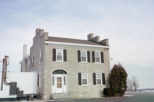
Its Register listings are the Gen. Orrin Hutchinson House, the Southwood Two-Teacher School and the Bellevue Country Club. Its Register listings are the Gen. Orrin Hutchinson House, the Southwood Two-Teacher School and the Bellevue Country Club. Below: 1 old photo or paper, maps from 1895 on, and the census since 1820.
On its age, its old homes and the National Register, Onondaga is more historic than 46% of U.S. towns, #691 of 758 in New York. Its share of homes from before 1940 holds the grade up; its National Register listings pull it down.
B−
HistoryA character grade: shown, never part of Onondaga’s overall grade.
New York towns list more on the Register than most of the country (a typical New York town has 12.3 per 10,000 residents, the U.S. 2.4), so Onondaga’s 1.3 sits below most of its state (23% of New York towns have fewer) while its 3 listings outnumber those of 65% of U.S. towns.
How sure. Graded on two of the three inputs, so a change in either one moves the letter more than it would with three. The pre-1940 share (±2.1 points) is firm at this size.
Founding year: our sources. Homes: Census ACS 2020–24. National Register: National Park Service, May 2026 list; each listing counted once (boundary changes and added documentation belong to their listing), and a historic district counts its contributing buildings. How TownRatings grades history →
What stands out about Onondaga’s past
Read from the archive, the National Register and the record. The page puts what stands out first.
Saint Anns SchoolschoolSchool Number 11schoolSchool Number 12schoolSchool Number 20schoolSchool Number 24schoolSchool Number 8schoolSchool Number 9schoolSouth Onondaga Pitmine
9cemeteries and burying grounds inside Onondaga
BudlongCedarvaleGilbertLoomis HillOnondaga County Veterans MemorialPine RidgePioneerSouth OnondagaWalnut Grove
US Post Offices dataset (Blevins & Helbock, CC0). Places and cemeteries from the USGS Geographic Names Information System (2021).
Help out
Start Onondaga’s collection
The first neighbors to add old photos shape how Onondaga’s history is told.
Decades since 1900 with photos
00s10s20s30s40s50s60s70s80s90s
0 of 10 decades. The empty ones are waiting for someone’s album.
Native Americans have inhabited the region for centuries. As early as 1600, Onondaga was a village that served as the capital of the Haudenosaunee League and the primary settlement of the Onondaga people. During the American Revolution, the Onondagas sided with the British, and Onondaga was attacked by the Continental Army on April 21, 1779. After the war, the Onondagas were forced to cede their lands in New York to the new state, although some land was set aside to form the Onondaga Reservation. Most of the Onondagas left New York and were resettled in Upper Canada.
Passages that mention Onondaga, cut from the printed page as they were published.
... History of Onondaga County, New York1878 · page 271Read the page →
Read the text
The first settlements were made in what is now the town of Onondaga, at a time when it was included in the town of Manlius and Marcellus. Here the first settlements were made within the present limits of the County, and from here Salina and Syracuse got their first enterprising business men, who started them in that career of progress which has since marked their history. Some of the men who
Text read by machine from the scan; it may contain errors.
... History of Onondaga County, New York1878 · page 261Read the page →
Read the text
At the organization of the county, in 1794, the territory embraced in the town of Salina was comprehended in the original townships of Manlius and Marcellus ; and after the town of Onondaga was set off, in 1798, and the township of Marcellus was organized as a town, that portion of the Reservation not included in Onondaga, on the west side of the lake and creek, was attached to Camillus. At the
Text read by machine from the scan; it may contain errors.
Onondaga, or, Reminiscences of earlier and later times [microform] being a series of historical sketches relative to Onondaga1849 · page 139Read the page →
Read the text
and population, the predictions of the most sanguine were more than realized. At the organization of the county in 1794, the town of Salina was comprehended in the original towns of Manlius and Marcellus ; and, after Onondaga was set off in 1798, and the township of Camillus was organized as a town, that portion of the reservation not included in Onondaga, on the west side of the lake and creek was at-# tached to Camillus. At the organization of the town in 1809,
Text read by machine from the scan; it may contain errors.
Onondaga, or, Reminiscences of earlier and later times [microform] being a series of historical sketches relative to Onondaga1849 · page 137Read the page →
Read the text
Onondaga South Hollow is a small village on the Avest branch of the Onondaga Creek, with two meeting-houses, iwo grist-mills, saw-mills, clothing-works, post-office, &c. Sojae of the first settlers in this quarter, previous to 1800, were Gideon Seely, Phineas Sparks, Ebenezer Conklin, Turner
Text read by machine from the scan; it may contain errors.
Scans and text from the Internet Archive. Books published in 1930 or earlier, which are in the public domain.
Timeline
Onondaga, 1778 to 1959
Woven from the archive, old maps, post office records, the National Register and the people born here.
Onondaga is more historic than 46% of U.S. towns, #691 of 758 in New York. The History grade combines the town’s founding era, the share of homes built before 1940 and its National Register listings. It’s a character grade, so it isn’t part of the overall grade. How it works.
What is on the National Register in Onondaga?
Three places: the Gen. Orrin Hutchinson House (listed 1973), the Southwood Two-Teacher School (2000) and the Bellevue Country Club (2014).
How old are the homes in Onondaga?
12% of Onondaga’s homes were built before 1940 (Census estimate, ±2.1 points), against a typical 27% for a New York town; the median home was built in 1974.
Founding dates: Wikidata, Wikipedia, the U.S. post office records of Blevins & Helbock (CC0) and the Census. Homes by year built: Census ACS 2020–24. National Register of Historic Places: National Park Service (list of May 22, 2026). Old photos, postcards and papers: Wikimedia Commons, the Library of Congress and other public archives, credited on each item’s page. Maps: U.S. Geological Survey historical topographic maps (via Esri) and Sanborn fire-insurance maps (Library of Congress). History text and census tables: Wikipedia (CC BY-SA 4.0). Places that used to be: USGS Geographic Names Information System (2021).
From Wikimedia Commons (3), the National Register of Historic Places (3), Wikipedia, U.S. Geological Survey historical maps, U.S. Census counts (via Wikipedia), the US Post Offices dataset (Blevins & Helbock), the USGS Geographic Names Information System and old county and town histories (Internet Archive). Archive images are copied here with their credits and licenses, shown on each photo’s page. Refreshed monthly.
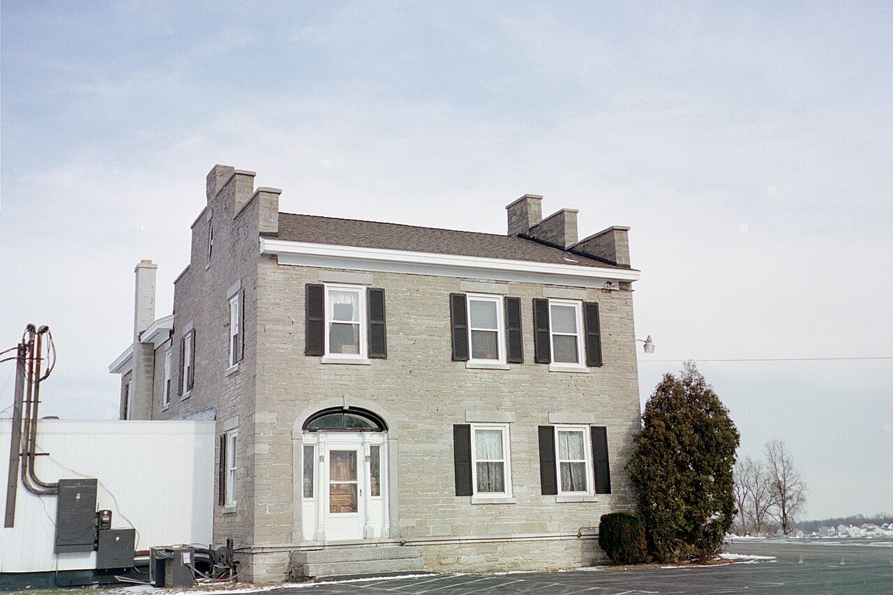


 2006
 2006