
Flushing High School
About Flushing High School
Flushing High School, at 35-01 Union St., was added to the National Register of Historic Places on Feb 10, 1992. The Register lists it for its architecture, at the local level. It describes its style as Collegiate Gothic, as it does for 15 other New York listings. The listing covers 4.7 acres. Five more Register listings are within a quarter mile.
What it isHigh school in New York, United States. From Wikidata (CC0). Read about it on Wikipedia ↗
PDFRead the original nominationThe form that put it on the Register, with its history, photos and a map · 51 MB · National Archives↗1875 to today
- 1875Built
- 1992Added to the National Register of Historic Places
- 2026On the Register for 34 years
Make it a walk: 5 landmarks in about 15 minutes
35-01 Union St., New York City · about 0.4 miles on foot, as the crow flies


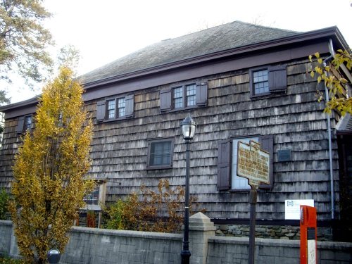

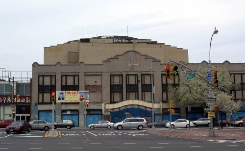
6 more Register listings within half a mile
★ National Historic Landmark · D district · B building · S site. Each opens its own page.
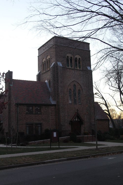
Collegiate Gothic style, nearby
Other National Register listings within 25 miles described as Collegiate Gothic.


Memories of Flushing High School
The record says what it is. Neighbors know what it means.
Your answer becomes a post in Town Square.
Questions about Flushing High School
Is Flushing High School on the National Register of Historic Places?
Yes. It was added on Feb 10, 1992 (Register number 91002036).
Is Flushing High School a National Historic Landmark?
No. It is on the National Register; New York has 273 National Historic Landmarks. The nearest is Old Quaker Meetinghouse, 0.2 miles away.
Can you visit Flushing High School?
It has its own website, the place to check whether and when it is open to visitors.
Where can I read the history of Flushing High School?
In its National Register nomination, the form that put it on the Register: a 51 MB PDF at the National Archives, linked on this page.
Sources: National Park Service, National Register of Historic Places (05/22/2026) · National Archives catalog record 75321082 · Wikidata. Map tiles © OpenStreetMap contributors.