Lexington dates to 1813, and 17% of its homes were built before 1940
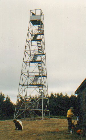
Its Register listings are the Lexington House, the Hunter Mountain Fire Tower and the St. Francis DeSales Church. Below: 6 old photos and papers, maps from 1900 on, and the census since 1820.
The area was first settled circa 1788. The town of Lexington was established in 1813, as the "Town of New Goshen", from the town of Windham. Within a few months, the name was altered to "Lexington".
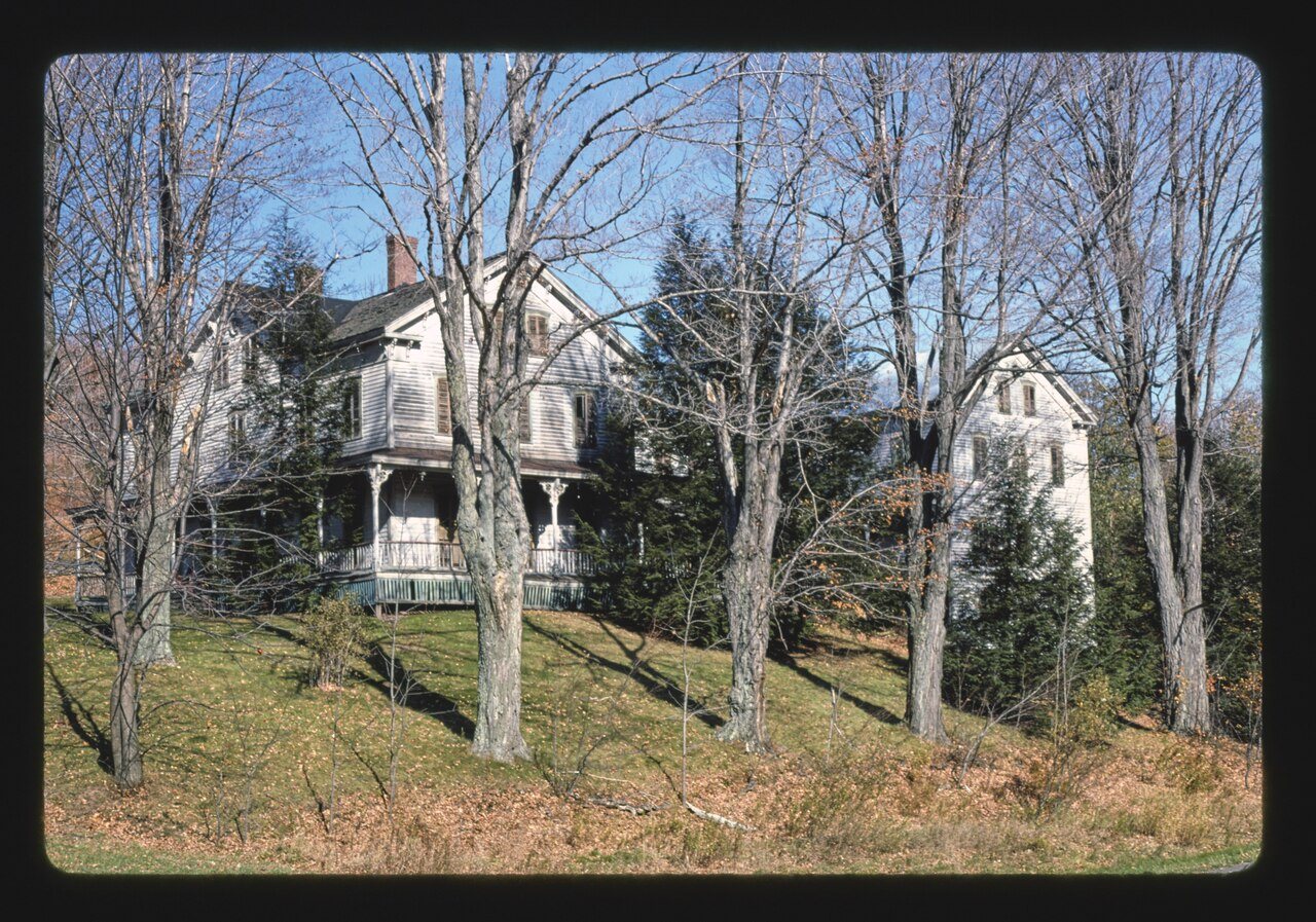
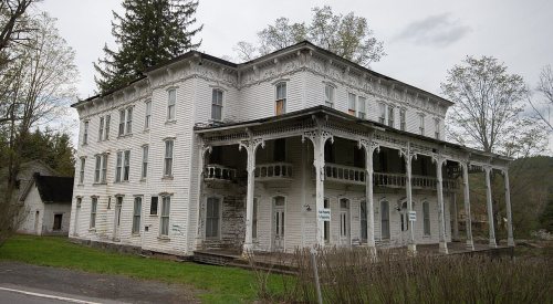
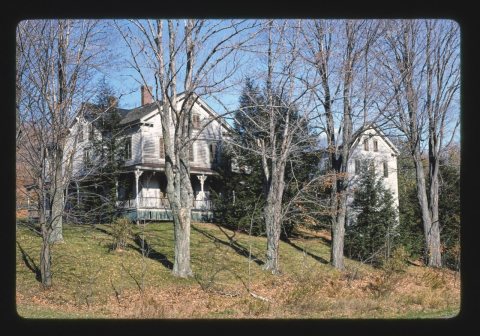
In 1976, playwright Oakley Hall III co-founded Lexington Conservatory Theatre at historic Lexington House. The company performed there for five years before moving to Albany, NY to become Capital Repertory Theatre. Lexington House was later used as a summer retreat by Ensemble Studio Theatre. The location was also featured in the 2004 documentary The Loss of Nameless Things.
Passages that mention Lexington, cut from the printed page as they were published.
History of the town of Lexington, Middlesex County, Massachusetts, from its first settlement to 18681913 · page 750Read the page →
Read the text
southerly side of Francis Whitmore's house, towards the town of Cambridge." The same description was used when the precinct was erected into a town in 1713, and the above line remains still the boundary between Lexington and Arlington. Francis Whitmore, however, did not reside in this house at the date of the incorporation of the town, as he had then been dead for several years. It is believed also that he never lived there, although he owned the house, which was probably occupied then or later by
Text read by machine from the scan; it may contain errors.
History of the town of Lexington, Middlesex County, Massachusetts, from its first settlement to 18681913 · page 303Read the page →
Read the text
He lived successively in Lexington, Watertown, Lexington and Lincoln; this was partly on account of his changing his reisdence, and partly from alterations of town lines, which annexed a part of Lexington to Lincoln. When he became an inhabitant of Lexington is not knoAvn, but he was taxed in 1729 and had a seat assigned him in the meeting-house in 1731. He was chosen one of the committee to provide for schools in 1743, and also filled the office of constable, assessor and selectman.
Text read by machine from the scan; it may contain errors.
A historical sketch of the Robinson family of the line of Ebenezer Robinson, a soldier of the revolution. Born at Lexington, Mass., Feb. 14th, 1765. Died at South Reading, Vt., Oct. 31, 18571903 · page 32Read the page →
Read the text
Cambridge Farms was a portion of Cambridge. Lexington was then included in it, and this part of the town appears to have been regarded as the wood-lots and hay fields of Cambridge. Lexington was set aside and was organized into a town March 31, 1713, a few years after Jonathan Robinson settled there.
Text read by machine from the scan; it may contain errors.
Scans and text from the Internet Archive. Books published in 1930 or earlier, which are in the public domain.
Timeline
Lexington, 1813 to 1976
Woven from the archive, old maps, post office records, the National Register and the people born here.
Nothing in the archives for these yearsWeddings on Main Street, storms, parades, school pictures, the old store. If it’s in your family album, it belongs here.
Founding dates: Wikidata, Wikipedia, the U.S. post office records of Blevins & Helbock (CC0) and the Census. Homes by year built: Census ACS 2020–24. National Register of Historic Places: National Park Service (list of May 22, 2026). Old photos, postcards and papers: Wikimedia Commons, the Library of Congress and other public archives, credited on each item’s page. Maps: U.S. Geological Survey historical topographic maps (via Esri) and Sanborn fire-insurance maps (Library of Congress). History text and census tables: Wikipedia (CC BY-SA 4.0). Places that used to be: USGS Geographic Names Information System (2021). How TownRatings grades history →
From Wikimedia Commons (18), the National Register of Historic Places (3), Wikipedia, U.S. Geological Survey historical maps, U.S. Census counts (via Wikipedia), the US Post Offices dataset (Blevins & Helbock), the USGS Geographic Names Information System and old county and town histories (Internet Archive). Archive images are copied here with their credits and licenses, shown on each photo’s page. Refreshed monthly.






 1976
 1976
 1976
 1976
 1976
 2017
 2016
 2016
 2016
 2016
 2016
 2016
 2016
 2016
 2012
 2010
 2009