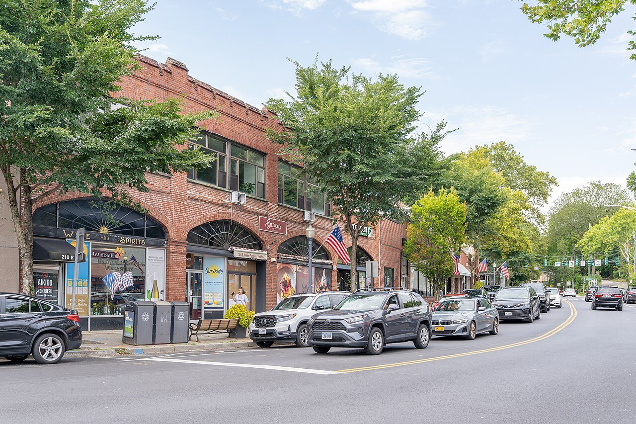
Hartsdale, a CDP/hamlet/post-office in the town of Greenburgh, New York, lies on the Bronx River 20 miles (32 km) north of New York City. It is served by the Metro-North Harlem River commuter rail line into Grand Central Terminal. Hartsdale is the home of America's first canine pet cemetery (started by veterinarian Samuel Johnson in 1896), and the world's first Carvel Ice Cream store (1934), which closed in 2008.
Hartsdale's earliest known settlers were the Wecquaesgeek (sometimes spelled Weckquaesgeek), a band of the Wappinger people, an Algonquian tribe.
Passages that mention Hartsdale, cut from the printed page as they were published.
History of Westchester county, New York, including Morrisania, Kings Bridge, and West Farms, which have been annexed to New York city1886 · page 684Read the page →
Read the text
chester Telephone Company from White Plains as centre. Up to 1885 the subscribers in the town numbered but five, but a new central oflSce for Hartsdale, Scarsdale and Tuckahoe has been started at the Hartsdale Station, with over twenty-five sub" scribers, most of them within the town of Scarsdale.
Text read by machine from the scan; it may contain errors.
Biographical history of Westchester County, New York..1899Read the page →
Read the text
Mr. Hart is a retired farmer of Hartsdale, New York, in which state hewas born in December, 1830, in the town of Greenburg, Westchester county, on the old Hart homestead. The family were originally from England, and the first settlement made by any of them in this country was on Long Island, whence they moved to Westchester county, to what afterward became the town of Greenburg. The great-grandfather, Joseph Hart, settled on a portion of the grant of land which extended from the Harlem to the Croton river, the same having been originally owned by Frederick Phillips. After
Text read by machine from the scan; it may contain errors.
History of Westchester county, New York, including Morrisania, Kings Bridge, and West Farms, which have been annexed to New York city1886 · page 669Read the page →
Read the text
Jonathan Griffin's." The building here mentioned was probably the first one in the town and stood at the top of the steep bank to the west of the White Plains road, just north of the road to Hartsdale Station. Nothing now remains to mark the spot but a portion of the foundations, the building itself having been destroyed by fire early in the present century. In 1796 the offices of " Commissioners of
Text read by machine from the scan; it may contain errors.
Scans and text from the Internet Archive. Books published in 1930 or earlier, which are in the public domain.
Timeline
Hartsdale, 1867 to 2002
Woven from the archive, old maps, post office records, the National Register and the people born here.
Nothing in the archives for these yearsWeddings on Main Street, storms, parades, school pictures, the old store. If it’s in your family album, it belongs here.
Nothing in the archives for these yearsWeddings on Main Street, storms, parades, school pictures, the old store. If it’s in your family album, it belongs here.
Founding dates: Wikidata, Wikipedia, the U.S. post office records of Blevins & Helbock (CC0) and the Census. Homes by year built: Census ACS 2020–24. National Register of Historic Places: National Park Service (list of May 22, 2026). Old photos, postcards and papers: Wikimedia Commons, the Library of Congress and other public archives, credited on each item’s page. Maps: U.S. Geological Survey historical topographic maps (via Esri) and Sanborn fire-insurance maps (Library of Congress). History text and census tables: Wikipedia (CC BY-SA 4.0). Places that used to be: USGS Geographic Names Information System (2021). How TownRatings grades history →
From Wikimedia Commons (3), the Library of Congress (1), Wikidata (1), Wikipedia, Wikidata and Wikipedia for famous people, U.S. Geological Survey historical maps and old county and town histories (Internet Archive). Archive images are copied here with their credits and licenses, shown on each photo’s page. Refreshed monthly.