Denning was established in 1849 from part of the Town of Shandaken. The region had been part of the Hardenburgh Patent granted to Johannes Hardenburgh in 1708. William H. Denning, for whom the settlement was named, bought a tract of land at a tax sale.
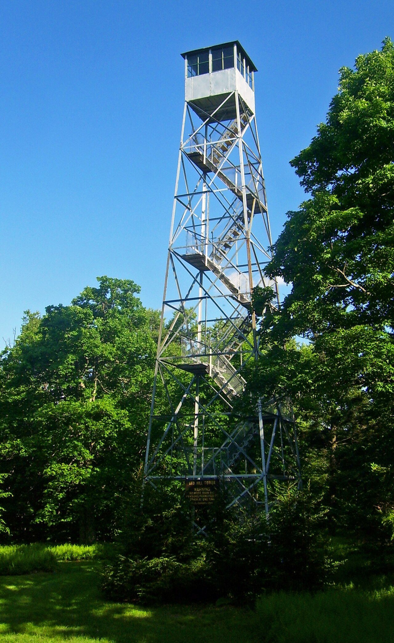
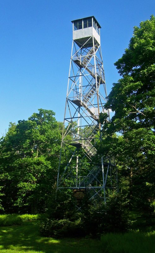
The Red Hill Fire Observation Station was listed on the National Register of Historic Places in 2001.
Passages that mention Denning, cut from the printed page as they were published.
History of Ulster County, New York, with illustrations and biographical sketches of its prominent men and pioneers1880Read the page →
Read the text
Denning, being one of the more recentlyformed towns of the county, — scarcely settled even at the time of the Mexican war, — first shared in military affairs in the great struggle of 1S01-05. The following list comprises the names of the soldiers who entered the Union army from the town of Denning. It is prepared from the printed muster-in rolls of the State, from the reports of the census enumerators of 1805, and has been revised by inquiry
Text read by machine from the scan; it may contain errors.
The history of Ulster County, New York1907 · page 258Read the page →
Read the text
The town is bounded on the north by Delaware county and the town of Shandaken, on the east by Shandaken and Denning, on the south by Shandaken and Sullivan county, and on the west by Delaware county. It was formed from Denning and Shandaken in 1859, and named after Johannes Hardenburgh, who was the original patentee of a vast mountain tract which covered large parts of this and adjoining counties. The average elevation of the town is about 1,800 feet, and there are three lofty mountain peaks within its limits. These are Graham Mountain,
Text read by machine from the scan; it may contain errors.
The history of Ulster County, New York1907 · page 243Read the page →
Read the text
In the summer the town of Denning is a paradise for those who love the wilds of Nature. There is plenty of small game in the hills and plenty of fish in the streams. There is not a railroad within the town limits ; but there are numerous places where the world-weary pilgrim can get accommodations and live, during the heated season, close to nature, with all the really necessary accompaniments of civilization ; or he may pitch his tent in a gully between the hills, and make himself as comfortable or uncomfortable as his tastes and means will permit.
Text read by machine from the scan; it may contain errors.
History of Ulster County, New York, with illustrations and biographical sketches of its prominent men and pioneers1880Read the page →
Read the text
It is usuallystated, and probably correctly, that Anthony Schwab was the first settler of Denning, and that he located on Read Hill in 1841. Yet a saw-mill is said to have been erected in 1S27. If so, it was probably near the boundary line of Sullivan County, and could hardly be called a settlement of this township.
Text read by machine from the scan; it may contain errors.
Scans and text from the Internet Archive. Books published in 1930 or earlier, which are in the public domain.
Timeline
Denning, 1849 to 1957
Woven from the archive, old maps, post office records, the National Register and the people born here.
In 1849, according to Wikidata and Wikipedia’s history of the town. Denning’s post office opened in 1850, and the census of 1850 counted 447 people here.
What is on the National Register in Denning?
One place: the Red Hill Fire Observation Station (listed 2001).
Founding dates: Wikidata, Wikipedia, the U.S. post office records of Blevins & Helbock (CC0) and the Census. Homes by year built: Census ACS 2020–24. National Register of Historic Places: National Park Service (list of May 22, 2026). Old photos, postcards and papers: Wikimedia Commons, the Library of Congress and other public archives, credited on each item’s page. Maps: U.S. Geological Survey historical topographic maps (via Esri) and Sanborn fire-insurance maps (Library of Congress). History text and census tables: Wikipedia (CC BY-SA 4.0). Places that used to be: USGS Geographic Names Information System (2021). How TownRatings grades history →
From Wikimedia Commons (17), the National Register of Historic Places (1), Wikipedia, U.S. Geological Survey historical maps, U.S. Census counts (via Wikipedia), the US Post Offices dataset (Blevins & Helbock), the USGS Geographic Names Information System and old county and town histories (Internet Archive). Archive images are copied here with their credits and licenses, shown on each photo’s page. Refreshed monthly.


 2022
 2022
 2022
 2022
 2022
 2022
 2015
 2014
 2014
 2011
 2011
 2011
 2011
 2008
 2007
 2007


