Founding year: Wikipedia. First post office: 1816.The full story ↓
History grade
What drives Cobleskill’s History grade
On its age, its old homes and the National Register, Cobleskill is among the most historic 1% of U.S. towns, #33 of 758 in New York. All 3 inputs put Cobleskill near the top nationally; its age ranks highest.
A+
HistoryA character grade: shown, never part of Cobleskill’s overall grade.
New York towns list more on the Register than most of the country (a typical New York town has 12.3 per 10,000 residents, the U.S. 2.4), so Cobleskill’s 289 sits above most of its state (86% of New York towns have fewer) while its 182 historic buildings outnumber those of 93% of U.S. towns.
NoteThe founding year comes from Wikipedia alone; no second source gives 1712.
How sure. Graded on any two of the three inputs instead, the letter would range from A to A+. The pre-1940 share is a Census survey estimate (±6.5 points).
Founding year: Wikipedia (other dates in Quick answers). Homes: Census ACS 2020–24. National Register: National Park Service, May 2026 list; each listing counted once (boundary changes and added documentation belong to their listing), and a historic district counts its contributing buildings. How TownRatings grades history →
What stands out about Cobleskill’s past
Read from the archive, the National Register and the record. The page puts what stands out first.
The town was first settled around 1712. The town was founded at the same time as the county, 1795, but its boundaries were not established until 1801. There are more historical notes on the pages of the village of Cobleskill and Schoharie County.
The town was named after mill owner Jacob Kobell, and the word "kil", which is Dutch for stream. Cobleskill was incorporated in 1868.
Passages that mention Cobleskill, cut from the printed page as they were published.
1713. History of Schoharie County, New York, with illustrations and biographical sketches of some of its prominent men and pioneers1882 · page 429Read the page →
Read the text
Resolved, That the village of Middleburgh, in the town of Middleburgh, and the village of Cobleskill, in the town of Cobleskill, in said County of Schoharie, be, and the same are hereby fixed, designated, and established as halfshire towns in said County of Schoharie, for the location and site of the County buildings of the County of Schoharie, being a County Court
Text read by machine from the scan; it may contain errors.
1713. History of Schoharie County, New York, with illustrations and biographical sketches of some of its prominent men and pioneers1882 · page 192Read the page →
Read the text
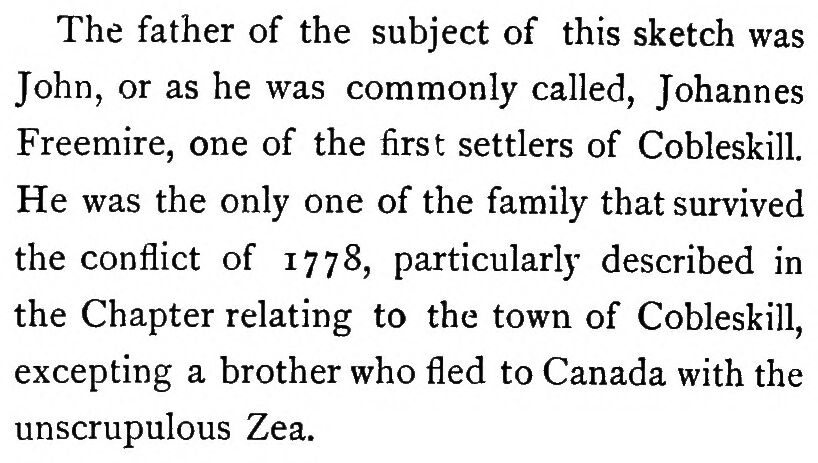
The father of the subject of this sketch was John, or as he was commonly called, Johannes Freemire, one of the first settlers of Cobleskill. He was the only one of the family that survived the conflict of 1778, particularly described in the Chapter relating to the town of Cobleskill, excepting a brother who fled to Canada with the unscrupulous Zea.
Text read by machine from the scan; it may contain errors.
History of Schoharie County, New York, 1713-18821882 · page 114Read the page →
Read the text
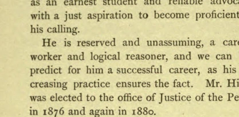
Charles Holmes, and was born in the village of Cobleskill. December 25, 1852, and received his education at the " Cobleskill Union School.'' He studied law in his father's office and was admitted in May, 1879, and located at Cobleskill. But just starting in his legal course, being chiefly engaged in office work, it is hardly possible to predict the mark Mr. Holmes will make
Text read by machine from the scan; it may contain errors.
History of Schoharie County, New York, 1713-18821882 · page 428Read the page →
Read the text
Resolved, That the citizens of the village and town of Cobleskill, Schoharie County, are hereby authorized and empowered to erect and construct suitable and proper buildings to be used and appropriated to the free use of the County of Schoharie as a County Court House, a County Judge and Surrogate's Office, a County Clerk's Office, and a Common Jail for the County of
Text read by machine from the scan; it may contain errors.
Scans and text from the Internet Archive. Books published in 1930 or earlier, which are in the public domain.
Timeline
Cobleskill, 1712 to 1990
Woven from the archive, old maps, post office records, the National Register and the people born here.
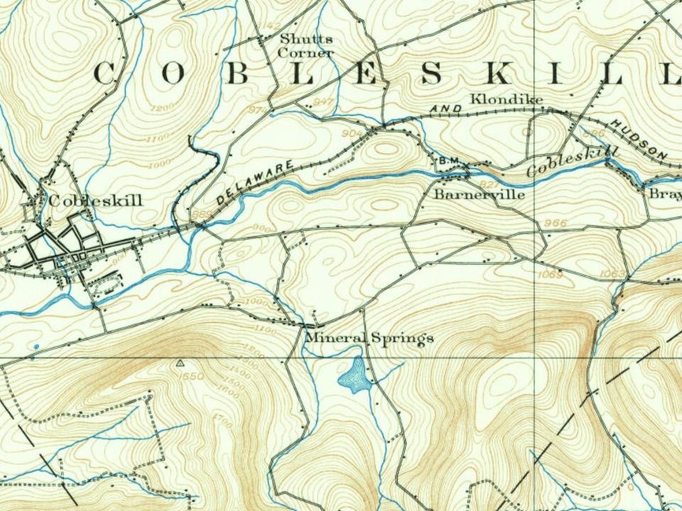
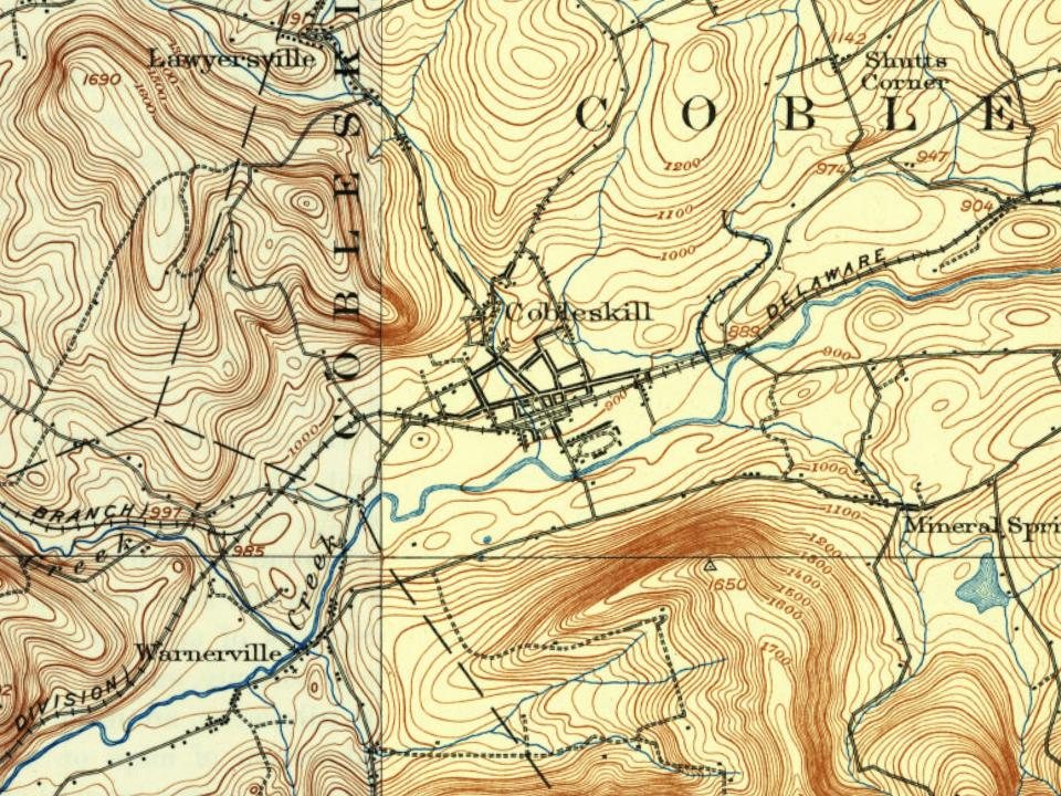
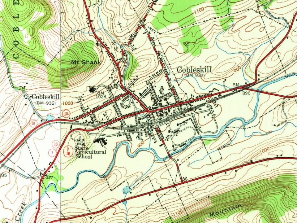
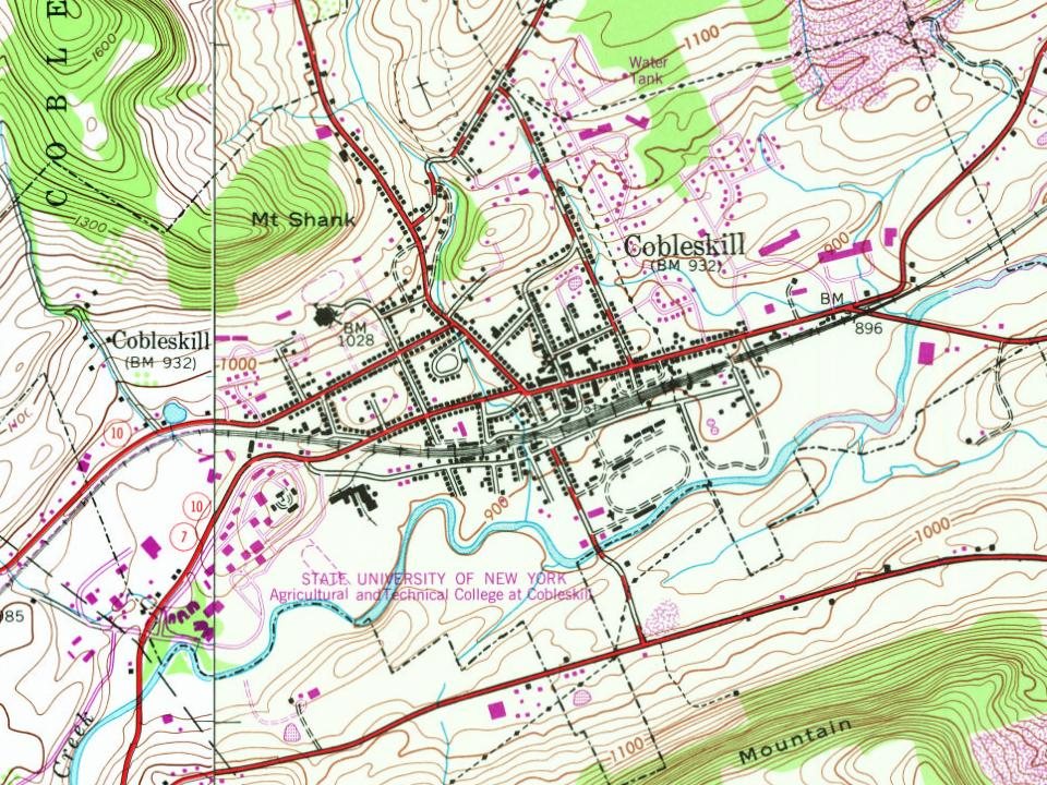
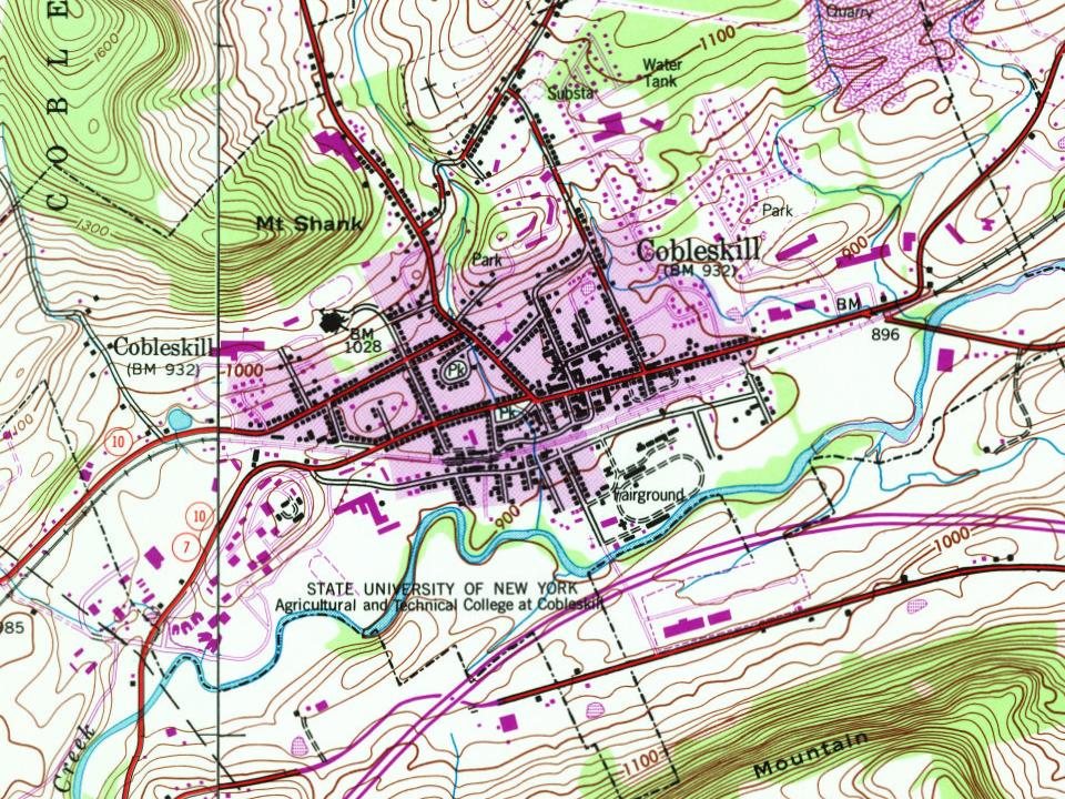
Every edition of the U.S. Geological Survey’s map of Cobleskill. Tap a year, or press play to watch the town change.
1898Schoharie sheet · 1:62,500
U.S. Geological Survey historical topographic maps (public domain), via Esri’s collection of the scans. The red ring marks the center of Cobleskill.
Every building
Cobleskill, building by building, 1887–1909
Fire insurance maps drew every building, what it was made of and what it was used for, so insurers could price the risk of fire. Pick a year, then a sheet.
In 1712, according to Wikipedia’s history of the town. Cobleskill’s post office opened in 1816, and the census of 1820 counted 2,440 people here.
How does Cobleskill rank for history?
Cobleskill is among the most historic 1% of U.S. towns, #33 of 758 in New York. The History grade combines the town’s founding era, the share of homes built before 1940 and its National Register listings. It’s a character grade, so it isn’t part of the overall grade. How it works.
What is on the National Register in Cobleskill?
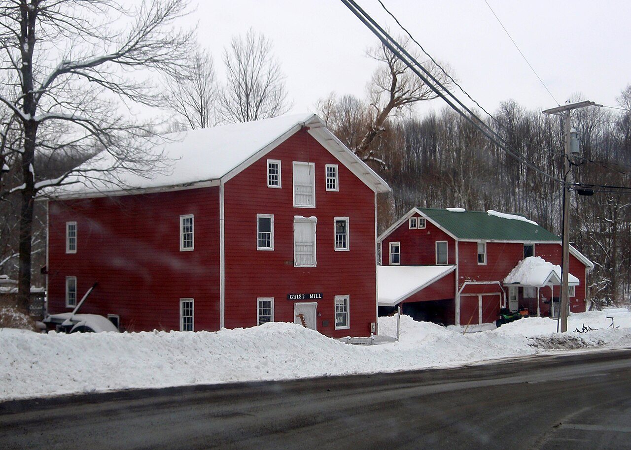
Two places: the Bramanville Mill (listed 1976) and the Cobleskill Historic District (1978).
How old are the homes in Cobleskill?
30% of Cobleskill’s homes were built before 1940 (Census estimate, ±6.5 points), against a typical 27% for a New York town; the median home was built in 1971.
Founding dates: Wikidata, Wikipedia, the U.S. post office records of Blevins & Helbock (CC0) and the Census. Homes by year built: Census ACS 2020–24. National Register of Historic Places: National Park Service (list of May 22, 2026). Old photos, postcards and papers: Wikimedia Commons, the Library of Congress and other public archives, credited on each item’s page. Maps: U.S. Geological Survey historical topographic maps (via Esri) and Sanborn fire-insurance maps (Library of Congress). History text and census tables: Wikipedia (CC BY-SA 4.0). Places that used to be: USGS Geographic Names Information System (2021).
From the National Register of Historic Places (2), Wikipedia, Wikidata and Wikipedia for famous people, U.S. Geological Survey historical maps, U.S. Census counts (via Wikipedia), the US Post Offices dataset (Blevins & Helbock), the USGS Geographic Names Information System, Sanborn fire insurance maps (Library of Congress) and old county and town histories (Internet Archive). Archive images are copied here with their credits and licenses, shown on each photo’s page. Refreshed monthly.