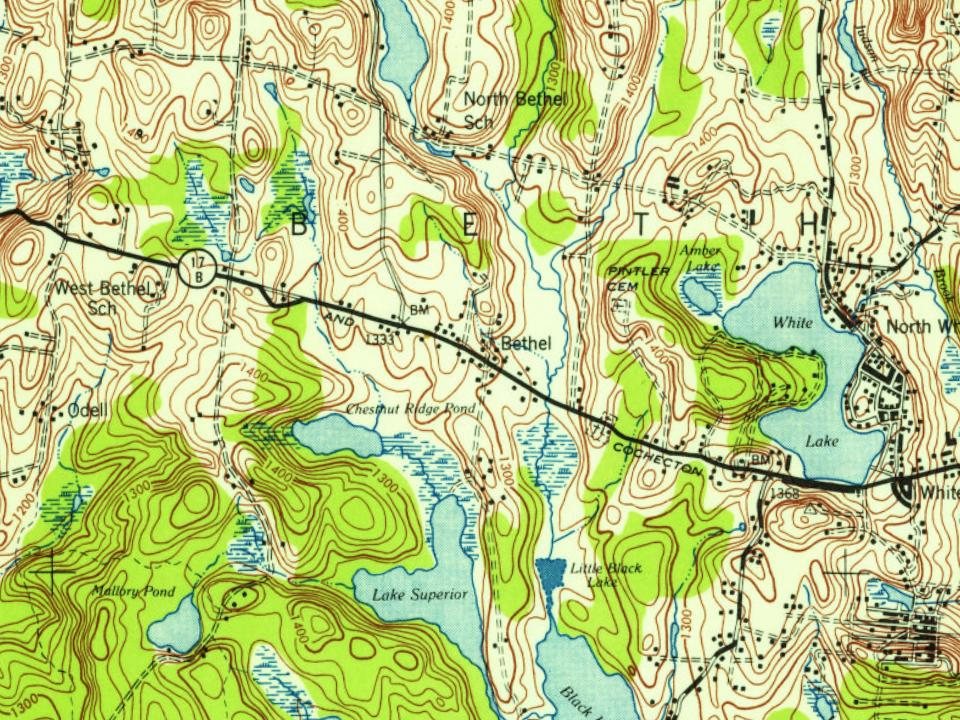
Bethel dates to 1809, and 20% of its homes were built before 1940
More historic than 74% of U.S. towns · #498 of 758 in New York. What drives it
2 places in town are on the National Register, among them a historic district. Below: 1 old photo or paper, maps from 1922 on, and the census since 1820.
Founding year: Wikidata; Wikipedia’s history section gives the same year. First post office: 1811. Name: Wikipedia, licensed CC BY-SA 4.0.The full story ↓
History grade
What drives Bethel’s History grade
On its age, its old homes and the National Register, Bethel is more historic than 74% of U.S. towns, #498 of 758 in New York. Its age holds the grade up; its National Register listings pull it down.
B+
HistoryA character grade: shown, never part of Bethel’s overall grade.
New York towns list more on the Register than most of the country (a typical New York town has 12.3 per 10,000 residents, the U.S. 2.4), so Bethel’s 4.9 sits below most of its state (35% of New York towns have fewer) while its 2 listings outnumber those of 60% of U.S. towns.
How sure. Graded on any two of the three inputs instead, the letter would range from B to A−. The pre-1940 share is a Census survey estimate (±5.1 points). Two sources give 1809.
Founding year: Wikidata (other dates in Quick answers). Homes: Census ACS 2020–24. National Register: National Park Service, May 2026 list; each listing counted once (boundary changes and added documentation belong to their listing), and a historic district counts its contributing buildings. How TownRatings grades history →
What stands out about Bethel’s past
Read from the archive, the National Register and the record. The page puts what stands out first.
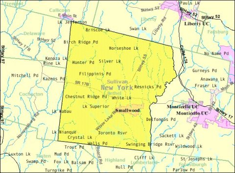
The first European settlers arrived circa 1795 near the present communities of Bethel and White Lake. The town of Bethel was established in 1809 from the town of Lumberland. It was named after Bethel.
By the middle of the 19th century, a tourist industry began to grow. Bethel was home to numerous hotels that were part of the "Borscht Belt" and numerous sleepaway camps for most of the 20th century, including Camp Ma-Ho-Ge, Camp Chipinaw, and Camp Ranger – all on Silver Lake. In 1961, Son of Sam mass murderer David Berkowitz was a camper at a now defunct summer camp in Bethel. Berkowitz left the camp after a suspicious fire occurred in his cabin.
Passages that mention Bethel, cut from the printed page as they were published.
History of Bethel, formerly Sudbury, Canada, Oxford County, Maine, 1768-18901891 · page 66Read the page →
Read the text
Be it further enacted, by the autliorit}- aforesaid, that the said town of Bethel lie, and the same is hereby divided into two distinct Parishes, to be designated "The East Parish and "West Parish," and the following shall be the dividing line between said Parishes, viz : Beginning at the south line of the town at a tree marked sixteen seventeen, standing on the line between the sixteenth and seventeenth ranges, to the north line of the town, and all the lands in said town with the inhabitants thereon, east of said dividing line, be and
Text read by machine from the scan; it may contain errors.
History of Bethel, formerly Sudbury, Canada, Oxford County, Maine, 1768-18901891 · page 318Read the page →
Read the text
ment that has been laid aside for years. It is old style — out of fashion — ill fitting, and can never be worn as satisfactorily as one made especially for the present time. It affords me great pleasure to meet so many of the sons and daughters of Bethel on this deeply interesting and very pleasant occasion. I congratulate you in the prosperity that has marked all the interests of the good town of Bethel since the first settlement within her borders. jNIany pleasant memories of Bethel rise before me whenever I vi-it 3'our beautiful
Text read by machine from the scan; it may contain errors.
Scans and text from the Internet Archive. Books published in 1930 or earlier, which are in the public domain.
Timeline
Bethel, 1809 to 2000
Woven from the archive, old maps, post office records, the National Register and the people born here.
In 1809, according to Wikidata and Wikipedia’s history of the town. Bethel’s post office opened in 1811, and the census of 1820 counted 1,096 people here.
How does Bethel rank for history?
Bethel is more historic than 74% of U.S. towns, #498 of 758 in New York. The History grade combines the town’s founding era, the share of homes built before 1940 and its National Register listings. It’s a character grade, so it isn’t part of the overall grade. How it works.
What is on the National Register in Bethel?
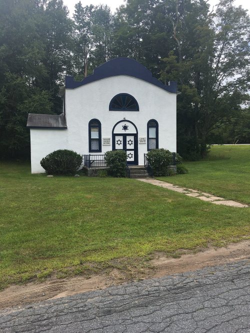
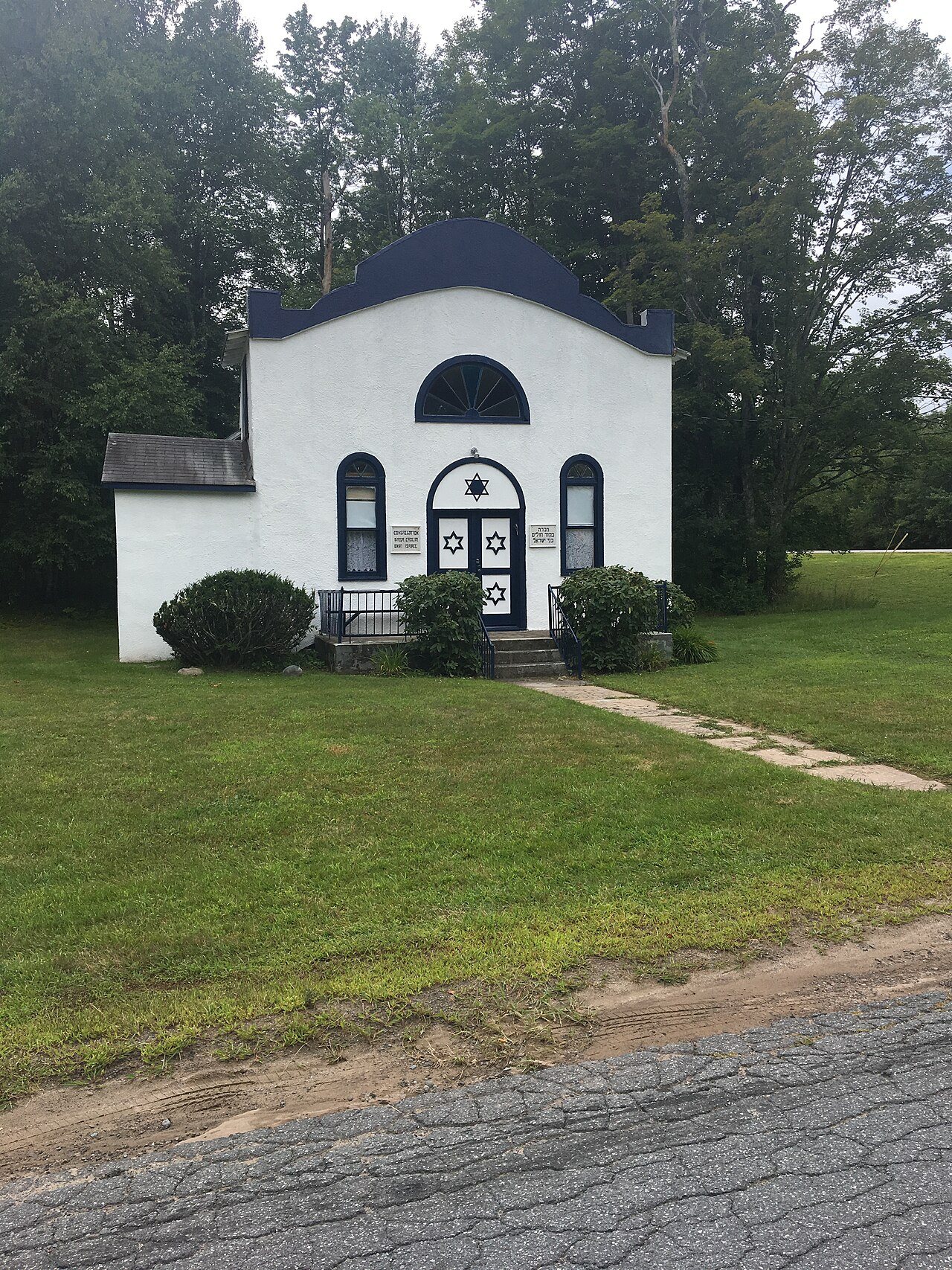
Two places: the Bikur Cholim B'nai Israel Synagogue (listed 1999) and the Woodstock Music Festival Site (2017).
How old are the homes in Bethel?
20% of Bethel’s homes were built before 1940 (Census estimate, ±5.1 points), against a typical 27% for a New York town; the median home was built in 1965.
Founding dates: Wikidata, Wikipedia, the U.S. post office records of Blevins & Helbock (CC0) and the Census. Homes by year built: Census ACS 2020–24. National Register of Historic Places: National Park Service (list of May 22, 2026). Old photos, postcards and papers: Wikimedia Commons, the Library of Congress and other public archives, credited on each item’s page. Maps: U.S. Geological Survey historical topographic maps (via Esri) and Sanborn fire-insurance maps (Library of Congress). History text and census tables: Wikipedia (CC BY-SA 4.0). Places that used to be: USGS Geographic Names Information System (2021).
From Wikimedia Commons (6), the National Register of Historic Places (2), Wikipedia, U.S. Geological Survey historical maps, U.S. Census counts (via Wikipedia), the US Post Offices dataset (Blevins & Helbock), the USGS Geographic Names Information System and old county and town histories (Internet Archive). Archive images are copied here with their credits and licenses, shown on each photo’s page. Refreshed monthly.


 2014
 2012
 2008
 2007
 2006