Founding year: Wikidata. First post office: 1815.The full story ↓
History grade
What drives Wilton’s History grade
On its age, its old homes and the National Register, Wilton is among the most historic 1% of U.S. towns, #5 of 126 in New Hampshire. All 3 inputs are above most U.S. towns; its age ranks highest and its National Register listings lowest.
A+
HistoryA character grade: shown, never part of Wilton’s overall grade.
New Hampshire towns list more on the Register than most of the country (a typical New Hampshire town has 9.5 per 10,000 residents, the U.S. 2.4), so Wilton’s 63.1 sits above most of its state (80% of New Hampshire towns have fewer) while its 25 historic buildings outnumber those of 81% of U.S. towns.
NoteThe founding year comes from Wikidata alone; no second source gives 1762.
How sure. Graded on any two of the three inputs instead, the letter would still be A+. The pre-1940 share is a Census survey estimate (±12.3 points).
Founding year: Wikidata (other dates in Quick answers). Homes: Census ACS 2020–24. National Register: National Park Service, May 2026 list; each listing counted once (boundary changes and added documentation belong to their listing), and a historic district counts its contributing buildings. How TownRatings grades history →
What stands out about Wilton’s past
Read from the archive, the National Register and the record. The page puts what stands out first.
Lost post offices, old corners and burying grounds
Wilton’s post office has been open since 1815. Four other post offices opened and closed inside today’s town.
Wilton
1815–today
East Wilton
1831–1856
West Wilton
1856–1904
Wilton Centre
1856–1856
Wilton Centre
1877–1880
18101920today
Hamlets and corners on the map
DavisvilleWest WiltonWilton Center
5cemeteries and burying grounds inside Wilton
GreenwoodLaurel HillMount CalvarySouth YardVale End
US Post Offices dataset (Blevins & Helbock, CC0). Places and cemeteries from the USGS Geographic Names Information System (2021).
On the map
Wilton on the map, 1906 to 1985
Every edition of the U.S. Geological Survey’s map of Wilton. Tap a year, or press play to watch the town change.
1906Milford sheet · 1:62,500
U.S. Geological Survey historical topographic maps (public domain), via Esri’s collection of the scans. The red ring marks the center of Wilton.
Every building
Wilton, building by building, 1885–1912
Fire insurance maps drew every building, what it was made of and what it was used for, so insurers could price the risk of fire. Pick a year, then a sheet.
The town was first part of a township chartered as "Salem-Canada" in 1735 by Colonial Governor Jonathan Belcher of Massachusetts, which then claimed this area. It was granted to soldiers from Salem, Massachusetts, who had served in 1690 under Sir William Phips in the war against Canada. "Salem-Canada" was one of the towns on the state's borders intended to provide protection against Indian attack.
Passages that mention Wilton, cut from the printed page as they were published.
History of the town of Amherst, Hillsborough County, New Hampshire1883 · page 152Read the page →
Read the text
An act incorporating the East Wilton Railroad company was approved by the Governor 28 December, 1844. By the provisions of this act the company was authorized to construct a road from the Concord Railroad, at any point between the Souhegan river, in Merrimack, and the depot in Nashua, to Amherst village, thence through Milford to East Wilton, or from any point on the Nashua & Lowell Railroad to East Wilton.
Text read by machine from the scan; it may contain errors.
History of Hillsborough County, New Hampshire1885 · page 699Read the page →
Read the text
Thus, after all these changes of names and boundaries, of Salem-Canada; No. 2; Wilton five miles square; and Wilton four and a half miles wide by five miles long, as at present constituted; we have the proprietary and territorial history of the town of Wilton up to the present time.
Text read by machine from the scan; it may contain errors.
History of Hillsborough County, New Hampshire1885 · page 557Read the page →
Read the text
It is the same old highway over which old Mr. Gibbs traveled, carrying the United States mail in his saddle-bags. The first bridge on this highway, between Milford and Wilton, was built agreeably to an act of the General Court, passed April 2, 1779, " to oblige the County of Hillsborough to build and maintain a bridge across the Souhegan River in the Mile Slip, so called." It was subsequently, in 1835, rebuilt by the
Text read by machine from the scan; it may contain errors.
History of the town of Amherst, Hillsborough County, New Hampshire1883 · page 155Read the page →
Read the text
of the Wilton Railroad corporation having been laid before the town, it was " Voted, that the town of Amherst is willing to grant to the Wilton Railroad company, for building a railroad from Danforth's corner — so called — to Amherst plain, or the margin of it, the right of way through the town farm, on the most direct and suitable ground for said road, the said Wilton Railroad company fencing the way through said farm, in a good and sufficient manner, and keeping the
Text read by machine from the scan; it may contain errors.
Scans and text from the Internet Archive. Books published in 1930 or earlier, which are in the public domain.
Timeline
Wilton, 1762 to 1917
Woven from the archive, old maps, post office records, the National Register and the people born here.
Nothing in the archives for these yearsWeddings on Main Street, storms, parades, school pictures, the old store. If it’s in your family album, it belongs here.
Nothing in the archives for these yearsWeddings on Main Street, storms, parades, school pictures, the old store. If it’s in your family album, it belongs here.
In 1762, according to Wikidata. Wilton’s post office opened in 1815, and the first U.S. census counted 1,105 people here in 1790.
How does Wilton rank for history?
Wilton is among the most historic 1% of U.S. towns, #5 of 126 in New Hampshire. The History grade combines the town’s founding era, the share of homes built before 1940 and its National Register listings. It’s a character grade, so it isn’t part of the overall grade. How it works.
What is on the National Register in Wilton?
8 listings: 7 buildings and 1 structure. 25 historic buildings in all.
How old are the homes in Wilton?
43% of Wilton’s homes were built before 1940 (Census estimate, ±12.3 points), against a typical 17% for a New Hampshire town; the median home was built in 1971.
Founding dates: Wikidata, Wikipedia, the U.S. post office records of Blevins & Helbock (CC0) and the Census. Homes by year built: Census ACS 2020–24. National Register of Historic Places: National Park Service (list of May 22, 2026). Old photos, postcards and papers: Wikimedia Commons, the Library of Congress and other public archives, credited on each item’s page. Maps: U.S. Geological Survey historical topographic maps (via Esri) and Sanborn fire-insurance maps (Library of Congress). History text and census tables: Wikipedia (CC BY-SA 4.0). Places that used to be: USGS Geographic Names Information System (2021).
From Wikimedia Commons (18), the Library of Congress (3), Wikidata (3), the National Register of Historic Places (8), Wikipedia, Wikidata and Wikipedia for famous people, U.S. Geological Survey historical maps, U.S. Census counts (via Wikipedia), the US Post Offices dataset (Blevins & Helbock), the USGS Geographic Names Information System, Sanborn fire insurance maps (Library of Congress) and old county and town histories (Internet Archive). Archive images are copied here with their credits and licenses, shown on each photo’s page. Refreshed monthly.


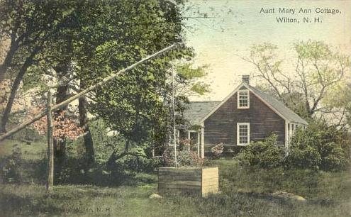


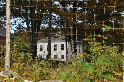


 1895
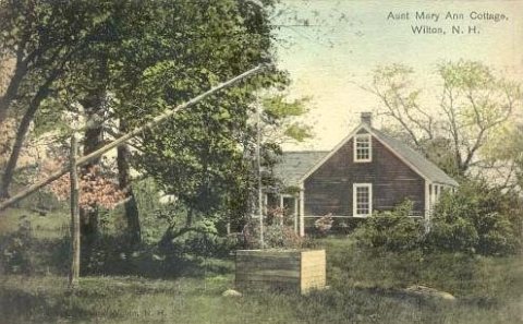 c. 1915
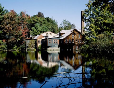 1980
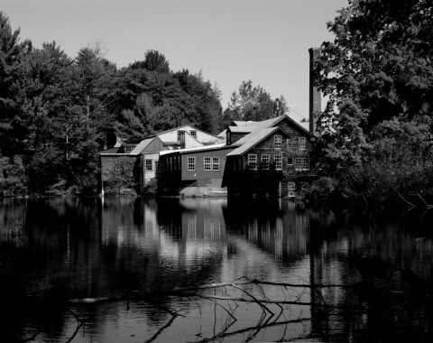 1980
 1980
 2017
 2014
 2014
 2014
 2012
 2012
 2012
 2012
 2012
 2012
 2011
 2009
 2006


