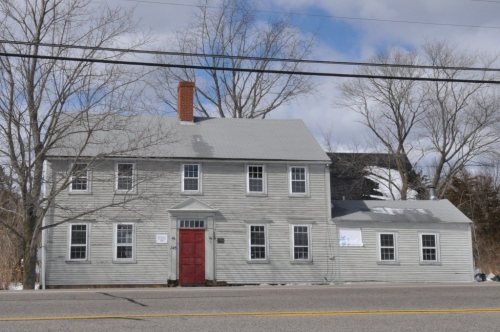
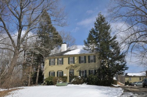
Stratham dates to 1631, and 8 of its places are on the National Register
More historic than 60% of U.S. towns · #101 of 126 in New Hampshire. What drives it
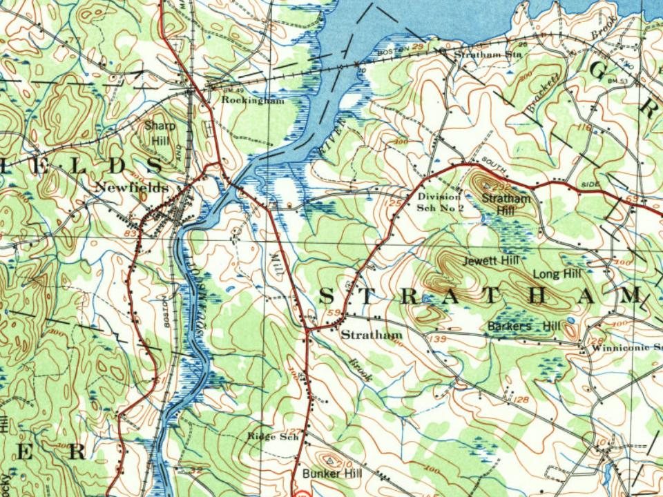
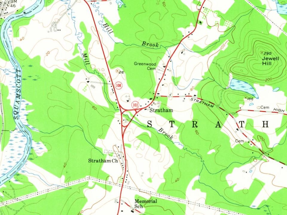
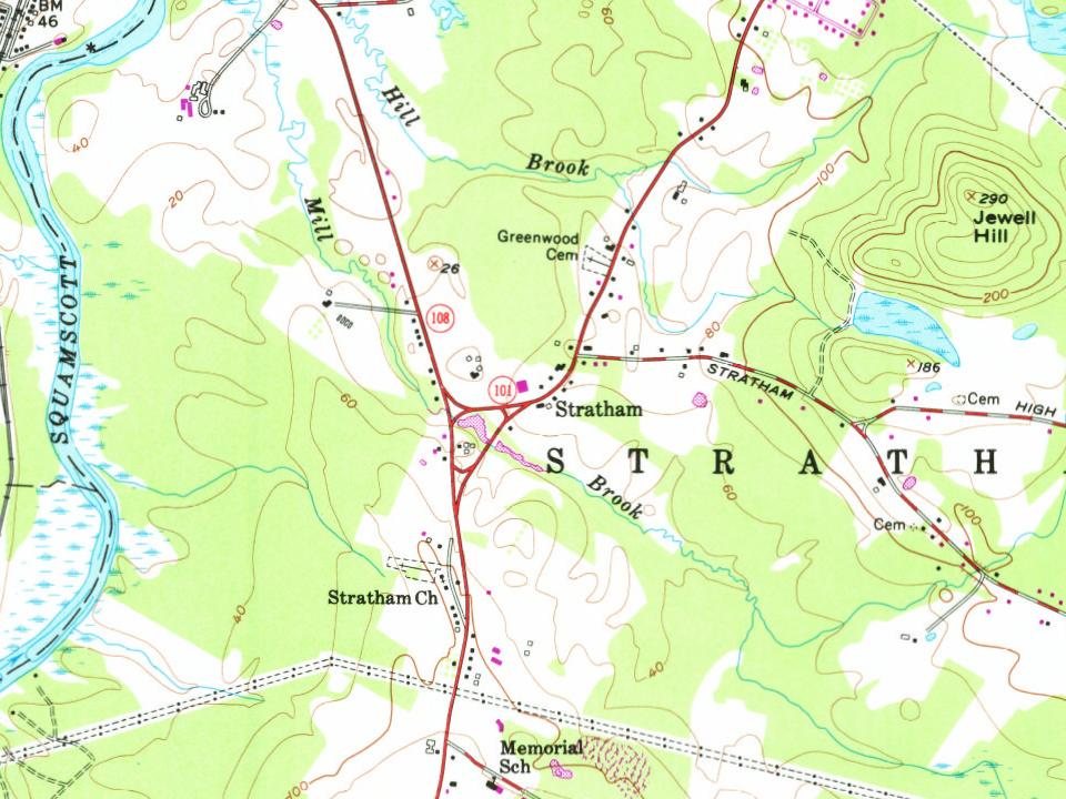
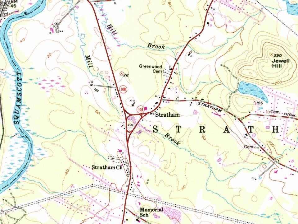
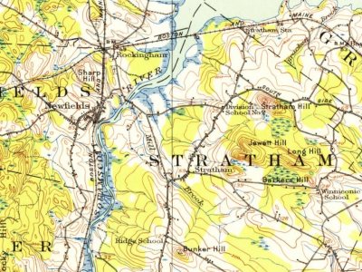
Most of Stratham was built recently: 6% of its homes predate 1940 and the median home dates from 1986. 8 places in town are on the National Register, among them a historic district with 7 buildings. Below: 4 old photos and papers, maps from 1916 on, and the census since 1790.
Founding year: Wikipedia. First post office: 1822.The full story ↓
History grade
What drives Stratham’s History grade
On its age, its old homes and the National Register, Stratham is more historic than 60% of U.S. towns, #101 of 126 in New Hampshire. Its National Register listings hold the grade up; its share of homes from before 1940 pulls it down.
B
HistoryA character grade: shown, never part of Stratham’s overall grade.
New Hampshire towns list more on the Register than most of the country (a typical New Hampshire town has 9.5 per 10,000 residents, the U.S. 2.4), so Stratham’s 32.2 sits above most of its state (71% of New Hampshire towns have fewer) while its 25 historic buildings outnumber those of 81% of U.S. towns.
NoteThe founding year comes from Wikipedia alone; no second source gives 1631.
How sure. Graded on two of the three inputs, so a change in either one moves the letter more than it would with three. The pre-1940 share is a Census survey estimate (±3.3 points).
Founding year: Wikipedia (other dates in Quick answers). Homes: Census ACS 2020–24. National Register: National Park Service, May 2026 list; each listing counted once (boundary changes and added documentation belong to their listing), and a historic district counts its contributing buildings. How TownRatings grades history →
What stands out about Stratham’s past
Read from the archive, the National Register and the record. The page puts what stands out first.
Stratham was settled in 1631 and incorporated in 1716. The area, called Winnicutt by the Pennacook people, was known as "Squamscott Patent" or "Point of Rocks" because of its location between Great Bay and the Squamscott River. The sixth town in the colony to be incorporated, the town was named for Wriothesley Russell, Baron Howland of Streatham, a friend of New Hampshire Royal Governor Samuel Shute.
The town is unusual among New England settlements of its size in having been comprehensively mapped in 1793 by Phinehas Merrill. It is therefore possible to identify how many of the extant buildings of the town predate the map.
Passages that mention Stratham, cut from the printed page as they were published.
History of Rockingham County, New Hampshire1915 · page 139Read the page →
Read the text
In the town of Stratham there was an exception, where by a vote of the town "Air. Andrew \\'iggin shall have liberty to set in what seat he pleaseth m the meeting-house." while the general law was "that when the committee have seated the meeting-house, every person that is seated shall sit in these seats, or pay fi\-e shillings per day for every day they set out of these seats in a disorderly manner to advance themseh'es higher in the meeting-house.
Text read by machine from the scan; it may contain errors.
History of Rockingham County, New Hampshire1915 · page 229Read the page →
Read the text
Levi Morrill was chosen clerk, and Stephen Sleeper deacon. Dr. Samuel Shepard was called May 23d to take charge of this church and its branches at Stratham and Nottingham, and he was ordained at Stratham the last Wednesday of September of that year. Dr. Shepard's pastorate extended over a period of forty-four years, when he died November 4, 181 5, aged seventysix years, four months, and thirteen days, and was buried only a short distance from the place where he had preached so long.
Text read by machine from the scan; it may contain errors.
Scans and text from the Internet Archive. Books published in 1930 or earlier, which are in the public domain.
By decade
Stratham, decade by decade
2 decades in the archive, from the 1790s to the 1900s. Scroll each row; tap a photo for its story.
Nothing in the archives for these yearsWeddings on Main Street, storms, parades, school pictures, the old store. If it’s in your family album, it belongs here.
In 1631, according to Wikipedia’s history of the town. Stratham’s post office opened in 1822, and the first U.S. census counted 882 people here in 1790.
How does Stratham rank for history?
Stratham is more historic than 60% of U.S. towns, #101 of 126 in New Hampshire. The History grade combines the town’s founding era, the share of homes built before 1940 and its National Register listings. It’s a character grade, so it isn’t part of the overall grade. How it works.
What is on the National Register in Stratham?
8 listings: 7 buildings, among them the Cornet Thomas Wiggin House (listed 1983, the first), and 1 historic district, the Scammon Farm Historic District, with 7 contributing buildings. 25 historic buildings in all.
How old are the homes in Stratham?
6% of Stratham’s homes were built before 1940 (Census estimate, ±3.3 points), against a typical 17% for a New Hampshire town; the median home was built in 1986.
Founding dates: Wikidata, Wikipedia, the U.S. post office records of Blevins & Helbock (CC0) and the Census. Homes by year built: Census ACS 2020–24. National Register of Historic Places: National Park Service (list of May 22, 2026). Old photos, postcards and papers: Wikimedia Commons, the Library of Congress and other public archives, credited on each item’s page. Maps: U.S. Geological Survey historical topographic maps (via Esri) and Sanborn fire-insurance maps (Library of Congress). History text and census tables: Wikipedia (CC BY-SA 4.0). Places that used to be: USGS Geographic Names Information System (2021).
From Wikimedia Commons (16), Wikidata (2), the National Register of Historic Places (8), Wikipedia, Wikidata and Wikipedia for famous people, U.S. Geological Survey historical maps, U.S. Census counts (via Wikipedia), the US Post Offices dataset (Blevins & Helbock), the USGS Geographic Names Information System and old county and town histories (Internet Archive). Archive images are copied here with their credits and licenses, shown on each photo’s page. Refreshed monthly.




 1793
 1793
 2020
 2019
 2019
 2018
 2015
 2014
 2014
 2013
 2013
 2013
 2013
 2012