South Hampton’s post office opened in 1822, and 19% of its homes were built before 1940
6 places in town are on the National Register, among them five historic districts with 96 buildings between them. Below: 1 old photo or paper, maps from 1932 on, and the census since 1790.
South Hampton was one of the first towns granted by colonial governor Benning Wentworth after the separation of the governorships of New Hampshire and Massachusetts in 1741. The border between the two colonies was fixed, and consequently South Hampton would be chartered in 1742 from former parts of Amesbury and Salisbury, Massachusetts. Over the years, the town lost territory to Hampton Falls, Seabrook and Newton, but gained territory from East Kingston in 1824. Though it was once part of the larger town of Hampton (as were the also separate towns of Hampton Falls and North Hampton), it no longer borders its namesake town due to these border changes.
Passages that mention South Hampton, cut from the printed page as they were published.
History of Rockingham County, New Hampshire1915 · page 703Read the page →
Read the text
Incorporation of the Town. — Prior to 1741 the boundary line of New Hampshire and Massachusetts was what is called the Shapley line, the present northern boundary of South Hampton being the state line, hence the town was wholly a part of Amesbury and Salisbury, extending from the Atlantic on the east to the Town of Kingston on the northwest : thence south two and a quarter miles to the Mitchel line, so called, embracing the present Town of South Hampton, nearly two-thirds of the area of Seabrook, and the easterly portion of the Town of Newton. The town was chartered May 25, 1742, by
Text read by machine from the scan; it may contain errors.
History of Rockingham County, New Hampshire1915 · page 713Read the page →
Read the text
A pamphlet has been issued by Fred B. French of South Hampton dated February, 1914, entitled "South Hampton Never a Part of Hampton." The pamphlet is illustrated with maps showing without doubt that Belknap and other historians were in error in their statements that South Hampton was formerly a part of Hampton.
Text read by machine from the scan; it may contain errors.
Scans and text from the Internet Archive. Books published in 1930 or earlier, which are in the public domain.
Timeline
South Hampton, 1819 to 2020
Woven from the archive, old maps, post office records, the National Register and the people born here.
Nothing in the archives for these yearsWeddings on Main Street, storms, parades, school pictures, the old store. If it’s in your family album, it belongs here.
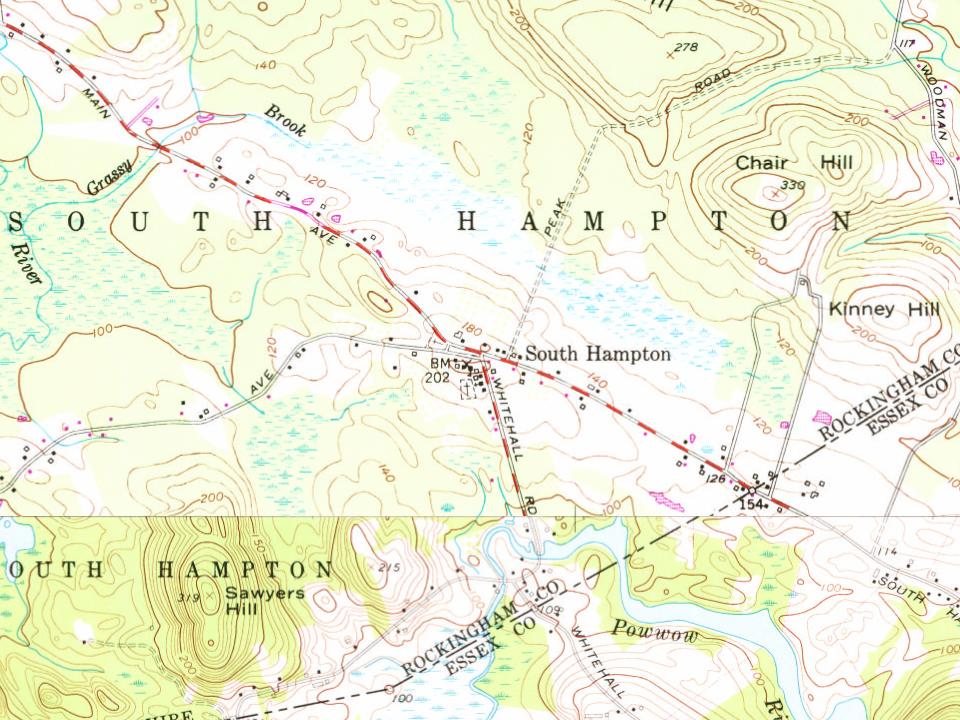
Every edition of the U.S. Geological Survey’s map of South Hampton. Tap a year, or press play to watch the town change.
1932Exeter sheet · 1:62,500
U.S. Geological Survey historical topographic maps (public domain), via Esri’s collection of the scans. The red ring marks the center of South Hampton.
Then & now
Stand where they stood
No then-and-now pairs yet. Take a photo from the same spot as an old one and they appear here side by side.
Retake this viewStreet Scene, c. 1910
Find the spot, match the angle, and add your photo. It becomes the first then-and-now pair on South Hampton’s page.
The South Hampton post office opened in 1822, the earliest record of the town by name (U.S. post office records).
What is on the National Register in South Hampton?
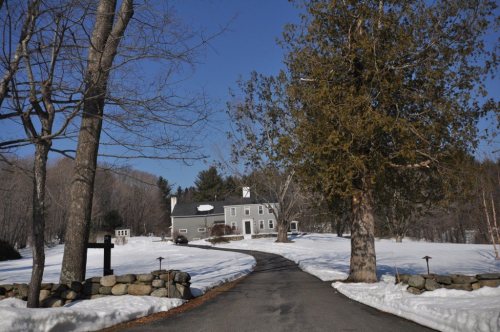
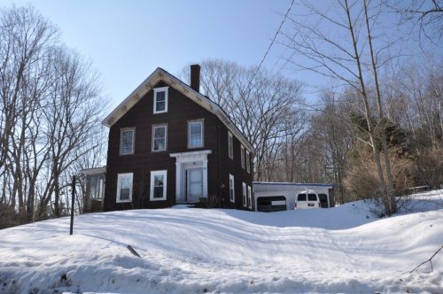
6 listings: 1 building, among them the Capt. Jonathan Currier House (listed 1983, the first), and 5 historic districts with 96 contributing buildings. 97 historic buildings in all.
Founding dates: Wikidata, Wikipedia, the U.S. post office records of Blevins & Helbock (CC0) and the Census. Homes by year built: Census ACS 2020–24. National Register of Historic Places: National Park Service (list of May 22, 2026). Old photos, postcards and papers: Wikimedia Commons, the Library of Congress and other public archives, credited on each item’s page. Maps: U.S. Geological Survey historical topographic maps (via Esri) and Sanborn fire-insurance maps (Library of Congress). History text and census tables: Wikipedia (CC BY-SA 4.0). Places that used to be: USGS Geographic Names Information System (2021). How TownRatings grades history →
From Wikimedia Commons (2), Wikidata (4), the National Register of Historic Places (6), Wikipedia, Wikidata and Wikipedia for famous people, U.S. Geological Survey historical maps, U.S. Census counts (via Wikipedia), the US Post Offices dataset (Blevins & Helbock), the USGS Geographic Names Information System and old county and town histories (Internet Archive). Archive images are copied here with their credits and licenses, shown on each photo’s page. Refreshed monthly.






 2013