Farmington Hills dates to 1957, and 3 of its places are on the National Register
More historic than 20% of U.S. towns · #648 of 701 in Michigan. What drives it
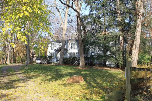
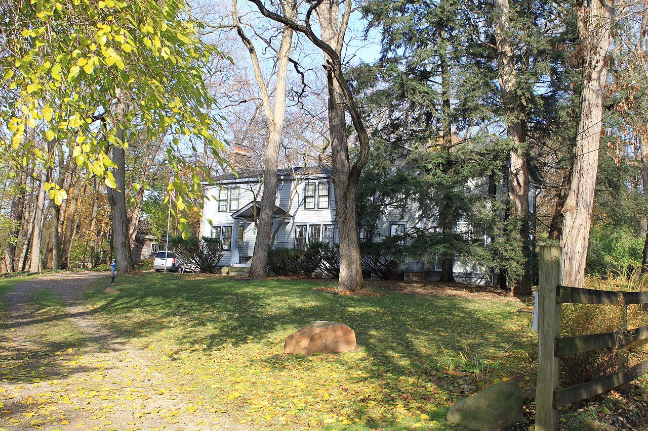
Most of Farmington Hills was built recently: 2% of its homes predate 1940 and the median home dates from 1978. Its Register listings are the Botsford Inn, the Royal Aldrich House and the Botsford-Graser House. Below: maps from 1905 on and the census since 1980.
Founding year: Wikipedia. First post office: 1828.The full story ↓
History grade
What drives Farmington Hills’ History grade
On its age, its old homes and the National Register, Farmington Hills is more historic than 20% of U.S. towns, #648 of 701 in Michigan. Its National Register listings hold the grade up; its age pulls it down.
C−
HistoryA character grade: shown, never part of Farmington Hills’ overall grade.
Few Michigan towns list much on the Register (a typical Michigan town has 0.0 per 10,000 residents, the U.S. 2.4), so Farmington Hills’ 0.5 sits near the middle of its state (64% of Michigan towns have fewer) while its 4 historic buildings outnumber those of 68% of U.S. towns.
How sure. Graded on any two of the three inputs instead, the letter would range from D− to C+. The pre-1940 share (±0.7 points) is firm at this size. Two sources give 1957.
Founding year: Wikipedia (other dates in Quick answers). Homes: Census ACS 2020–24. National Register: National Park Service, May 2026 list; each listing counted once (boundary changes and added documentation belong to their listing), and a historic district counts its contributing buildings. How TownRatings grades history →
What stands out about Farmington Hills’ past
Read from the archive, the National Register and the record. The page puts what stands out first.
Lost post offices, old corners, places now gone and burying grounds
Four other post offices opened and closed inside today’s town.
West Farmington
1828–1848
East Farmington
1830–1842
North Farmington
1847–1902
Clarenceville
1897–1907
18201920today
Hamlets and corners on the map
Briarwood Senior HousingClarencevilleFarmington AcresFlamingo Trailer CourtLittle Valley Estates Mobile Home ParkNorth FarmingtonQuakertownWood Creek Farms
Gone or out of use
Clarenceville Post Officepost officeNorth Farmington Post Officepost officeWest Farmington Post Officepost office
5cemeteries and burying grounds inside Farmington Hills
East FarmingtonMemorial GardensNorth FarmingtonOakwoodWest Farmington
US Post Offices dataset (Blevins & Helbock, CC0). Places and cemeteries from the USGS Geographic Names Information System (2021).
Help out
Start Farmington Hills’s collection
The first neighbors to add old photos shape how Farmington Hills’s history is told.
Decades since 1900 with photos
00s10s20s30s40s50s60s70s80s90s
0 of 10 decades. The empty ones are waiting for someone’s album.
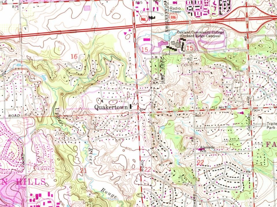
Every edition of the U.S. Geological Survey’s map of Farmington Hills. Tap a year, or press play to watch the town change.
1905Plymouth sheet · 1:62,500
U.S. Geological Survey historical topographic maps (public domain), via Esri’s collection of the scans. The red ring marks the center of Farmington Hills.
The first white settler in what became Farmington Township was a Quaker from Farmington, New York, named Arthur Power. He purchased land in 1823 and returned in 1824 with a group of families and associates to clear the land. The settlement became known as Quakertown. A post office was established in February 1826 with the name of Farmington. The original post office is still standing today and is a designated historic site. The township of Farmington was organized in 1827, and the settlement was incorporated as the village of Farmington in the winter of 1866–67. A fire on October 9, 1872, destroyed many buildings in the village center. Farmington was incorporated as a city in 1926.
In 1957, according to Wikipedia’s history of the town. Farmington Hills’ post office opened in 1828, and the census of 1980 counted 58,056 people here.
How does Farmington Hills rank for history?
Farmington Hills is more historic than 20% of U.S. towns, #648 of 701 in Michigan. The History grade combines the town’s founding era, the share of homes built before 1940 and its National Register listings. It’s a character grade, so it isn’t part of the overall grade. How it works.
What is on the National Register in Farmington Hills?
Three places: the Botsford Inn (listed 1979), the Royal Aldrich House (1994) and the Botsford-Graser House (2002).
How old are the homes in Farmington Hills?
2% of Farmington Hills’ homes were built before 1940 (Census estimate), against a typical 12% for a Michigan town; the median home was built in 1978.
Founding dates: Wikidata, Wikipedia, the U.S. post office records of Blevins & Helbock (CC0) and the Census. Homes by year built: Census ACS 2020–24. National Register of Historic Places: National Park Service (list of May 22, 2026). Old photos, postcards and papers: Wikimedia Commons, the Library of Congress and other public archives, credited on each item’s page. Maps: U.S. Geological Survey historical topographic maps (via Esri) and Sanborn fire-insurance maps (Library of Congress). History text and census tables: Wikipedia (CC BY-SA 4.0). Places that used to be: USGS Geographic Names Information System (2021).
From Wikimedia Commons (11), Wikidata (1), the National Register of Historic Places (3), Wikipedia, Wikidata and Wikipedia for famous people, U.S. Geological Survey historical maps, U.S. Census counts (via Wikipedia), the US Post Offices dataset (Blevins & Helbock) and the USGS Geographic Names Information System. Archive images are copied here with their credits and licenses, shown on each photo’s page. Refreshed monthly.






 2010
 2010
 2009
 2009
 2009
 2009
 2009
 2009
 2009
 2009
 2007