
Welcome to Eliot, Maine, Settled 1623, clipper Nightengale, 2012
South Eliot’s story
172 years in pictures
The archive holds 3 old photos and papers going back to 2012 and 5 maps from 1916 on.
- 1854South Eliot is settled
Each edition grades its towns against each other only.

The town was settled in 1854 and has 4,203 residents today.
South Eliot’s rent at the middle of the market is $2,155 a month, above both Maine’s towns ($1,106 a month) and U.S. towns ($1,185 a month). Among 144 Maine towns, just 6 have a lower share of working residents who work in town than South Eliot. The biggest park or preserve is Douglas Memorial Woods, at 28 acres. We don’t grade South Eliot yet; the figures below are still real.
The archive holds 3 old photos and papers going back to 2012 and 5 maps from 1916 on.
Where South Eliot’s working residents go each day. Line width shows the share.
Census LEHD 2023
Ordered by what stands out in South Eliot.
The top destinations are Portsmouth (14%), Eliot (11%) and Kittery (10%). Most working residents leave South Eliot for work: only 4% work in town. The mean commuting time for South Eliot comes to 21 minutes. Jobs based in South Eliot grew to 507 in 2023, 101 more than in 2013.
| South Eliot | Maine towns | U.S. towns | |
|---|---|---|---|
| Average trip to work | 21 minutes | 25 minutes | 25 minutes |
| Median household income | $99,000 | $78,000 | $80,000 |
| Below the poverty line | 5.5% | 9% | 9.6% |
| Work from home | 14% | 14% | 11% |
Census LEHD 2023 · ACS
Expected damage from storms and floods is lower here than in 69% of U.S. communities. Of the losses FEMA expects in South Eliot, 49% come from inland flooding and 25% from hurricanes.
FEMA National Risk Index · OpenFEMA
South Eliot’s July high stands at 81°F.
NOAA U.S. Climate Normals, 1991–2020
25% of South Eliot adults have been diagnosed with depression. The town does better than the Maine average on 11 of 32 CDC measures and worse on 1. In South Eliot, 29% of adults feel lonely, and 16% report frequent mental distress.
| South Eliot | Maine towns | U.S. towns | |
|---|---|---|---|
| Sleep under 7 hours (CDC PLACES) | 29% | 33% | 36% |
| Feel lonely (CDC PLACES) | 29% | 32% | 33% |
| Frequent mental distress (CDC PLACES) | 16% | 18% | 17% |
| Get no exercise (CDC PLACES) | 20% | 23% | 25% |
| What stands out | South Eliot | ME |
|---|---|---|
| Fewer older adults who have lost all their teeth | 7.3% | 14.8% |
| Fewer adults facing food insecurity | 7.3% | 10.7% |
| More adults who have had cancer | 11.4% | 9.9% |
CDC PLACES 2025 · modeled estimates for adults · CMS · HRSA
Count the trails in 4 parks and preserves and they come to 2.4 miles. South Eliot’s trail density comes in at 0.3 miles per square mile.
| South Eliot | Maine towns | U.S. towns | |
|---|---|---|---|
| Conserved land | 1.4% | 4.7% | 4.3% |
| Miles of trail per square mile | 0.3 miles per square mile | 0.7 | 0.4 |
| Biggest places to walk | Trails | Acres |
|---|---|---|
| 1. Douglas Memorial Woods | 0.9 mi | 28 |
| 2. Dixon Road Recreation Area | — | 23 |
| 3. Frost Tufts Park and Ballpark | — | 7 |
Trails & parks © OpenStreetMap contributors · Conserved land: USGS PAD-US
On the market in South Eliot: a median 44 days to sell. Bidding over the asking price: 40% of homes sold here. Also worth knowing: for households locally, the share who live in a home they own is 80%.
Census ACS, 2020–24 · Zillow Home Value Index · Redfin Data Center
Museums, parks, gardens and other places to visit around South Eliot. Close and well known come first.
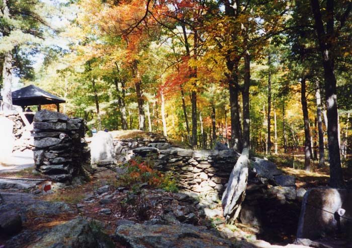 29 mi Ancient siteAmerica's Stonehenge
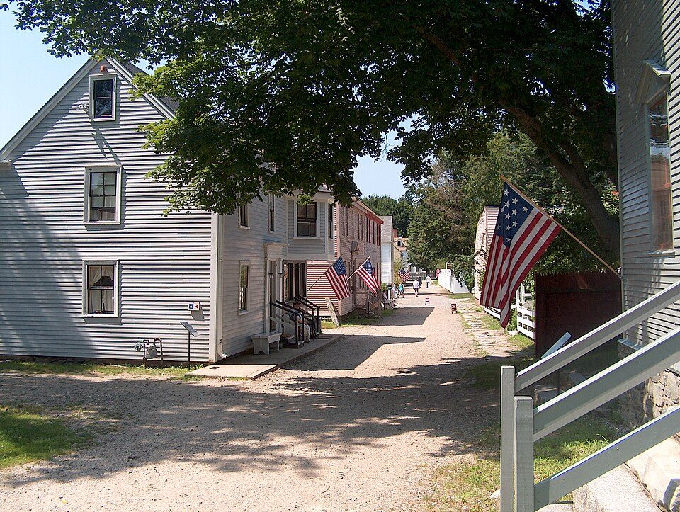 5 mi MuseumStrawbery Banke
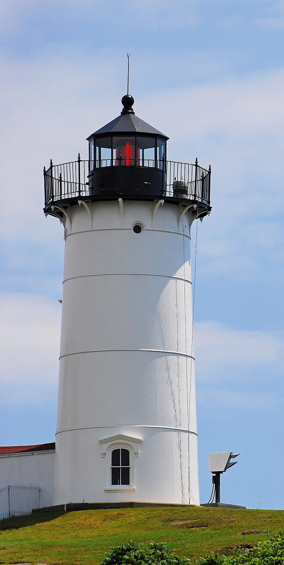 10 mi LighthouseCape Neddick Light
 6 mi LandmarkFort William and Mary
 33 mi Theme parkCanobie Lake Park
 16 mi LighthouseBoon Island Light
America's Stonehenge: User:Stan Shebs, CC BY-SA 3.0 · Strawbery Banke: Ken Gallager (Ken Gallager from en.wikipedia), Public domain · Cape Neddick Light: Stefan Hillebrand, CC BY-SA 3.0 · Fort William and Mary: AlexiusHoratius, CC BY-SA 3.0 · Canobie Lake Park: Alex1961, CC BY-SA 2.0 · Boon Island Light: Originally uploaded by Dk69, Public domain
South Eliot is unincorporated, so York County and regional agencies provide most services.
EPA SDWIS (Oct 9, 2026) · HIFLD + EIA-861 2025 · Census 2020 ZCTAs · NCES 2024–25 · registration: vote.gov, updated Aug 3, 2026.
2 within 15 miles of the center of South Eliot
About 1 of every 100 South Eliot residents are enrolled in college, against 6 across Maine.
Census-designated place in Maine, United States
South Eliot is a census-designated place (CDP) in the town of Eliot in York County, Maine, United States. As of the 2020 census, South Eliot had a population of 3,719. It is part of the Portland–South Portland–Biddeford, Maine Metropolitan Statistical Area.
From Wikipedia, licensed CC BY-SA 4.0 · facts via Wikidata (CC0)
4 towns share a border with South Eliot.
| Town | ME rank | Overall | Cost | Safety | Schools | Health |
|---|---|---|---|---|---|---|
| South Eliot | — | — | — | — | — | — |
| Eliot | #11 | A | D | A+ | A− | A− |
| Kittery | #43 | B+ | D | B+ | B | A− |
South Eliot isn’t graded (fewer than 1,000 residents, or not enough data). Compare South Eliot with a neighbor →
Short answers, built from the data on this page.
We don’t grade South Eliot yet; the figures below are still real.
Ask a question, answer one, post a photo or an event. Free, and the parts only a neighbor would know are the parts worth reading.


