
Boon Island Light
Boon Island Light is located on the 300-by-700-foot (91 m × 213 m) Boon Island off the southern coast of Maine, United States, near Cape Neddick. Visitors find it in York. Its history begins in 1811.

A lighthouse inside York
Winters are cold
January nights drop to 16°, with about 70" of snow a year. When to go ↓
You can stay in York
Boon Island Light is inside York, which has 54 places to stay, so you won’t need a base farther out. Hotels nearby ↓
A day trip from Boston
Boston is about 61 miles southwest (straight-line). Hotels nearby ↓
Established in 1811
Boon Island Light dates from 1811. About ↓
Best months: May, Jun, Jul, Aug and Sep
May, June, July, August and September are the mild months, with highs of 65–80°. When to go ↓
Written from NOAA 1991–2020 normals, Overture places to stay, Census town figures, Wikidata and Wikipedia.
The year’s weather
Each month’s highs and lows around Boon Island Light are below.
Boon Island Light
Boon Island Light is located on the 300-by-700-foot (91 m × 213 m) Boon Island off the southern coast of Maine, United States, near Cape Neddick. Boon Island Light has the distinction of being the tallest lighthouse in both Maine and New England at 133 feet (41 m). The lighthouse has a focal plane at 137 feet (42 m) above mean high water. The light's beacon flashes white every 5 seconds.
- Type
- Lighthouse
- Established
- 1811
- Listed
- National Register of Historic Places (1988)
- Wikipedia readers
- 7.3K a year
Lodging by Boon Island Light
Nearest of all is The Viewpoint Hotel, at 6.8 miles.
Closest places to stay
- 1The Viewpoint Hotelhotel · 6.8 mi northwestDirections
- 2Sand And Surfinn or B&B · 7.3 mi northwestDirections
- 3Lynwood Inninn or B&B · 7.3 mi northwestDirections
- 4Katahdin Inninn or B&B · 7.4 mi northwestDirections
- 5Crowe's Cottageslodge or cabins · 7.5 mi northwestDirections
- 6The Willowshotel · 7.5 mi northwestDirections
Compare 8 towns to stay in
| Town | From Boon Island Light | Drive | Places to stay | People | Typical home | Safety |
|---|---|---|---|---|---|---|
| York 34% vacation homes | in town | — | 54 18 hotels · 7 motels · 18 inns & B&Bs · 3 lodges & cabins · 5 campgrounds · 3 RV parks | 14,293 | $636K | A |
| Ogunquit 64% vacation homes | 9 mi northwest | 15 min | 66 23 hotels · 12 motels · 29 inns & B&Bs · 2 lodges & cabins | 1,606 | $876K | B |
| Wells 43% vacation homes | 15 mi northwest | 25 min | 71 20 hotels · 17 motels · 5 inns & B&Bs · 8 lodges & cabins · 16 campgrounds · 5 RV parks | 12,094 | $485K | B+ |
| Portsmouth | 16 mi west | 25 min | 38 31 hotels · 1 motel · 5 inns & B&Bs · 1 campground | 23,028 | $689K | B− |
| Kennebunkport 30% vacation homes | 17 mi north | 25 min | 37 16 hotels · 1 motel · 12 inns & B&Bs · 6 lodges & cabins · 2 campgrounds | 3,717 | $741K | A− |
| Hampton 21% vacation homes | 22 mi southwest | 35 min | 63 35 hotels · 17 motels · 8 inns & B&Bs · 2 lodges & cabins · 1 campground | 16,381 | $550K | B+ |
| Kennebunk | 18 mi north | 25 min | 29 9 hotels · 3 motels · 12 inns & B&Bs · 3 lodges & cabins · 2 campgrounds | 12,152 | $488K | A− |
| Old Orchard Beach 23% vacation homes | 29 mi north | 45 min | 99 30 hotels · 39 motels · 11 inns & B&Bs · 6 lodges & cabins · 1 hostel · 10 campgrounds · 2 RV parks | 9,533 | $367K | B |
Getting there
Nearest airports with airline service
Combine it with these
A wider trip can take in these, within 65 miles.
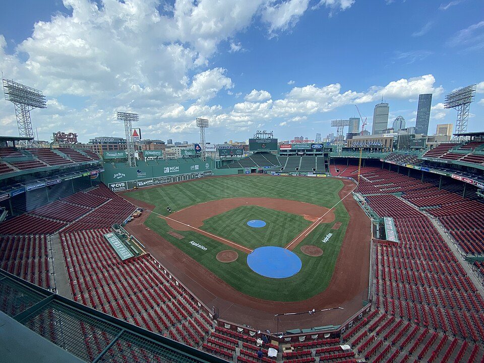 Big draw62 mi Stadium & arenaFenway Park
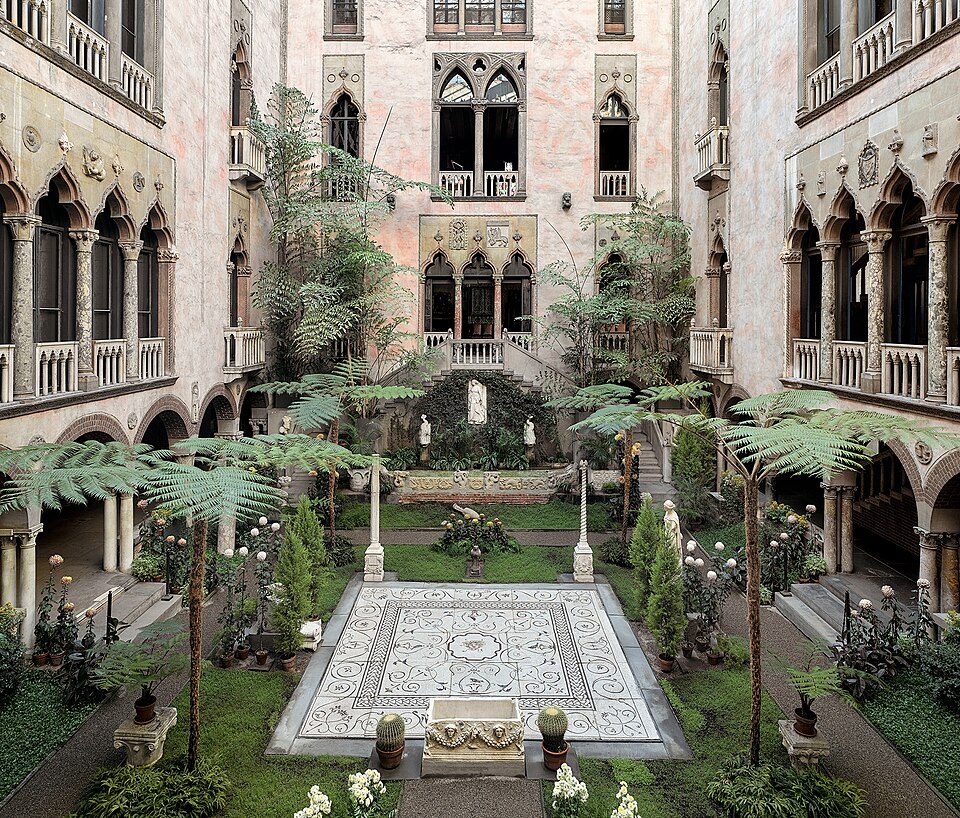 Big draw63 mi MuseumIsabella Stewart Gardner Museum
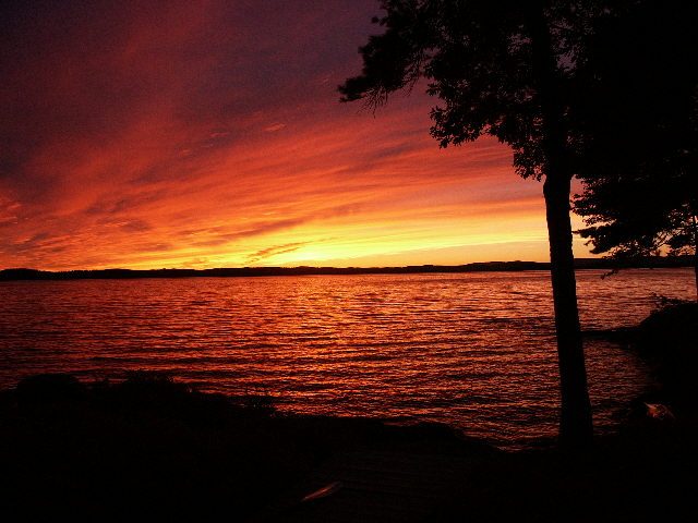 54 mi LakeLake Winnipesaukee
 64 mi LakeWalden Pond
 37 mi LighthousePortland Head Light
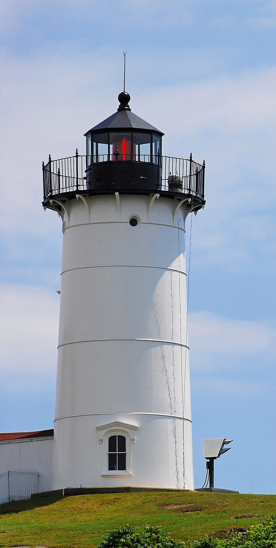 7 mi LighthouseCape Neddick Light
 60 mi AttractionFreedom Trail
 62 mi MuseumMuseum of Fine Arts Boston477K visitors a year
Photo credits
Fenway Park: Gatorfan252525, CC BY-SA 4.0 · Isabella Stewart Gardner Museum: Sean Dungan, CC BY-SA 4.0 · Lake Winnipesaukee: No machine-readable author provided. JohnJHenderson~commonswiki assumed (based o, Public domain · Walden Pond: Victorgrigas, CC BY-SA 3.0 · Portland Head Light: Aniarku, CC BY-SA 3.0 · Cape Neddick Light: Stefan Hillebrand, CC BY-SA 3.0 · Freedom Trail: Ingfbruno, CC BY-SA 3.0 · Museum of Fine Arts Boston: Martin~jawiki at Japanese Wikipedia, CC BY-SA 3.0


Your questions on Boon Island Light
Is Boon Island Light in York?
Yes. It’s inside York, ME.
When is the best time to visit Boon Island Light?
May, June, July, August and September, with highs of 65–80°.
How far is Boon Island Light from Boston?
About 61 miles southwest of Boston, as the crow flies.
What is the closest airport to Boon Island Light?
Portsmouth International Airport at Pease (PSM), about 18 miles away. The nearest big hub is Portland International Jetport (PWM), about 37 miles.
What hotels are near Boon Island Light?
The Viewpoint Hotel (6.8 mi), Sand And Surf (7.3 mi) and Lynwood Inn (7.3 mi).
Local know-how from York
Start the conversation in York’s Town Square.
Sources: National Park Service · ski areas © OpenSkiMap / OpenStreetMap contributors · Wikidata · Wikipedia readership · NOAA climate normals · U.S. Census.