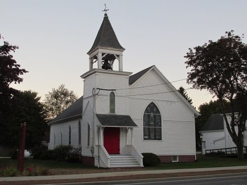
Scarborough dates to 1635, and 7 of its places are on the National Register
More historic than 71% of U.S. towns · #99 of 143 in Maine. What drives it
Most of Scarborough was built recently: 8% of its homes predate 1940 and the median home dates from 1988. Below: 11 old photos and papers, maps from 1891 on, and the census since 1800.
Founding year: Wikidata. First post office: 1797.The full story ↓
History grade
What drives Scarborough’s History grade
On its age, its old homes and the National Register, Scarborough is more historic than 71% of U.S. towns, #99 of 143 in Maine. Its age holds the grade up; its share of homes from before 1940 pulls it down.
B+
HistoryA character grade: shown, never part of Scarborough’s overall grade.
Maine towns list more on the Register than most of the country (a typical Maine town has 15.9 per 10,000 residents, the U.S. 2.4), so Scarborough’s 3.0 sits below most of its state (23% of Maine towns have fewer) while its 7 listings outnumber those of 73% of U.S. towns.
NoteThe founding year comes from Wikidata alone; no second source gives 1635.
How sure. Graded on any two of the three inputs instead, the letter would range from C+ to A−. The pre-1940 share (±2.4 points) is firm at this size.
Founding year: Wikidata (other dates in Quick answers). Homes: Census ACS 2020–24. National Register: National Park Service, May 2026 list; each listing counted once (boundary changes and added documentation belong to their listing), and a historic district counts its contributing buildings. How TownRatings grades history →
What stands out about Scarborough’s past
Read from the archive, the National Register and the record. The page puts what stands out first.
Lost post offices, old corners, places now gone and burying grounds
Scarborough’s post office has been open since 1797. Nine other post offices opened and closed inside today’s town.
Scarborough
1797–today
Durham
1818–1911
North Scarboro
1840–1842
Oak Hill
1840–1880
Oak Hill Station
1857–1869
Pine Point
1877–1922
West Scarborough
1880–1962
North Scarborough
1884–1902
Prout's Neck
1884–1960
Higgins Beach
1888–1888
17901910today
Hamlets and corners on the map
Blue PointDanish VillageDunstanEight CornersGrand BeachHiggins BeachNorth ScarboroughOak HillPine PointPine Point BeachPleasant HillProuts NeckSouth BuxtonTown LandingWest Scarborough
Gone or out of use
Oak Knoll AirportairportPleasant Hill SchoolschoolPort O'Maine AirportairportScottow Bog Flightpark Ultralight FlightparkairportWest Scarboro Stationlocale
41family graveyards and cemeteries inside Scarborough
BerryBlack PointBurhamCollinsDunstanEben Libby FarmFenderson FamilyFenderson MarshallHarmon - WaterhouseHarmonHarmonHarmon Family Graves near Scottow HillHartyHastyHunnewellIndianIndianJoseKingKingLarrabeeLarrabeeLibbyLibbyLibbyLibbyLibby MitchellMajor John WaterhouseMcLaughlinMoultonMoultonPlummerPlummer FamilyPlummer LibbyReverend Stephen WaterhouseRichardsScarborough MemorialSeaveySkillingThe Great GraveTibbetts Hunnewell
See all 41
Berry Cemetery · Black Point Cemetery · Burham Cemetery · Collins Cemetery · Dunstan Cemetery · Eben Libby Farm Cemetery · Fenderson Family Cemetery · Fenderson Marshall Cemetery · Harmon - Waterhouse Cemetery · Harmon Cemetery · Harmon Cemetery · Harmon Family Graves near Scottow Hill · Harty Cemetery · Hasty Cemetery · Hunnewell Cemetery · Indian Cemetery · Indian Cemetery · Jose Cemetery · King Cemetery · King Cemetery · Larrabee Cemetery · Larrabee Cemetery · Libby Cemetery · Libby Cemetery · Libby Cemetery · Libby Cemetery · Libby Mitchell Cemetery · Major John Waterhouse Cemetery · McLaughlin Cemetery · Moulton Cemetery · Moulton Cemetery · Plummer Cemetery · Plummer Family Cemetery · Plummer Libby Cemetery · Reverend Stephen Waterhouse Cemetery · Richards Cemetery · Scarborough Memorial Cemetery · Seavey Cemetery · Skilling Cemetery · The Great Grave · Tibbetts Hunnewell Cemetery
US Post Offices dataset (Blevins & Helbock, CC0). Places and cemeteries from the USGS Geographic Names Information System (2021).
On the map
Scarborough on the map, 1891 to 1970
Every edition of the U.S. Geological Survey’s map of Scarborough. Tap a year, or press play to watch the town change.
1891Portland sheet · 1:62,500
U.S. Geological Survey historical topographic maps (public domain), via Esri’s collection of the scans. The red ring marks the center of Scarborough.
In about 1630, John V. Stratton opened a trading post on Stratton Island in Saco Bay off Scarborough's shore. In 1631, the Plymouth Council for New England granted the "Black Point Patent" to Captain Thomas Cammock, nephew of the Earl of Warwick. Cammock built a house and began residence in 1635 on the 1,500-acre (6.1 km2) tract of land, which extended from the Spurwink River to Black Point—today this area is known as Prouts Neck. While on a voyage to the West Indies, in 1643, Thomas Cammock died at Barbadoes. Having no heirs, his patent was conveyed to his wife, Margaret Cammock. Settlements developed at Black Point, Blue Point (i.e., Pine Point), Dunstan (i.e., West Scarborough) and Stratton Island. By 1650, there were fifty homes. The town offered excellent fishing and farming. On July 14, 1658, the Massachusetts General Court incorporated all of those settlements as Scarborough, n…
Nothing in the archives for these yearsWeddings on Main Street, storms, parades, school pictures, the old store. If it’s in your family album, it belongs here.
In 1635, according to Wikidata. Scarborough’s post office opened in 1797, and the census of 1800 counted 2,099 people here.
How does Scarborough rank for history?
Scarborough is more historic than 71% of U.S. towns, #99 of 143 in Maine. The History grade combines the town’s founding era, the share of homes built before 1940 and its National Register listings. It’s a character grade, so it isn’t part of the overall grade. How it works.
What is on the National Register in Scarborough?
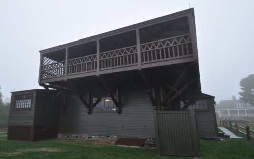
7 listings: 7 buildings, among them the Winslow Homer Studio (a National Historic Landmark since 1965).
How old are the homes in Scarborough?
8% of Scarborough’s homes were built before 1940 (Census estimate, ±2.4 points), against a typical 19% for a Maine town; the median home was built in 1988.
Founding dates: Wikidata, Wikipedia, the U.S. post office records of Blevins & Helbock (CC0) and the Census. Homes by year built: Census ACS 2020–24. National Register of Historic Places: National Park Service (list of May 22, 2026). Old photos, postcards and papers: Wikimedia Commons, the Library of Congress and other public archives, credited on each item’s page. Maps: U.S. Geological Survey historical topographic maps (via Esri) and Sanborn fire-insurance maps (Library of Congress). History text and census tables: Wikipedia (CC BY-SA 4.0). Places that used to be: USGS Geographic Names Information System (2021).
From Wikimedia Commons (11), Wikidata (1), the National Register of Historic Places (7), Wikipedia, Wikidata and Wikipedia for famous people, U.S. Geological Survey historical maps, U.S. Census counts (via Wikipedia), the US Post Offices dataset (Blevins & Helbock) and the USGS Geographic Names Information System. Archive images are copied here with their credits and licenses, shown on each photo’s page. Refreshed monthly.


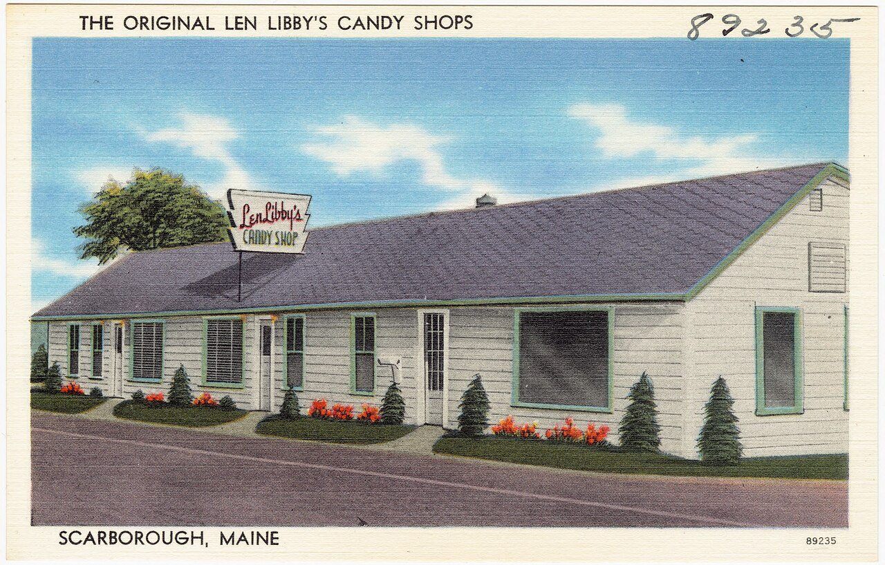
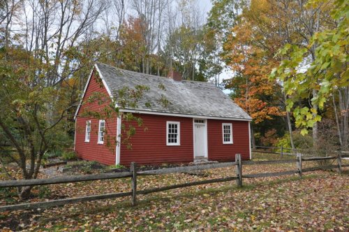


 1905
 c. 1908
 c. 1930
 c. 1930
 1995

 ★ Landmark