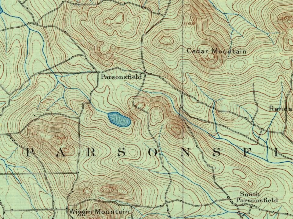
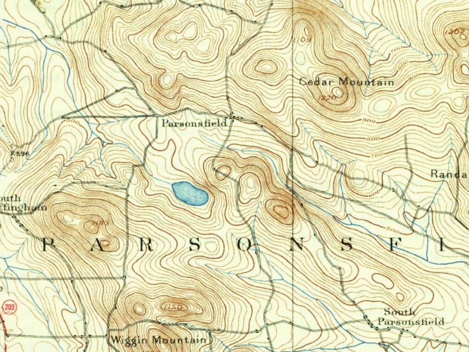
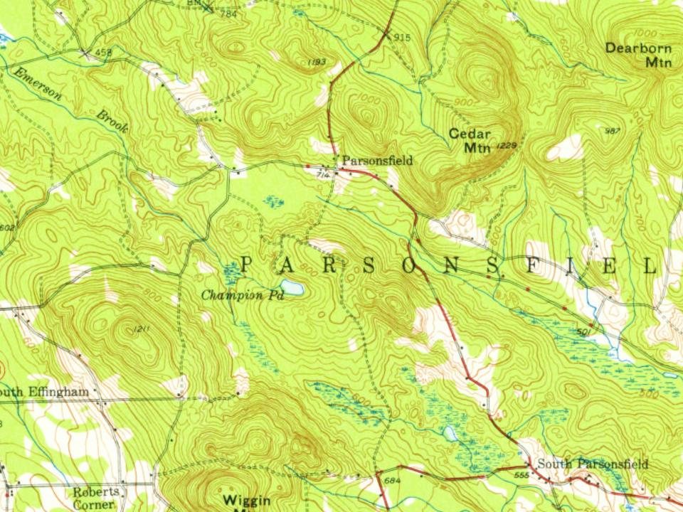
On its age, its old homes and the National Register, Parsonsfield is more historic than 92% of U.S. towns. All 2 inputs are above most U.S. towns; its share of homes from before 1940 ranks highest and its National Register listings lowest.
A
HistoryA character grade: shown, never part of Parsonsfield’s overall grade.
Maine towns list more on the Register than most of the country (a typical Maine town has 15.9 per 10,000 residents, the U.S. 2.4), so Parsonsfield’s 70.0 sits above most of its state (80% of Maine towns have fewer) while its 12 historic buildings outnumber those of 77% of U.S. towns.
How sure. Graded on two of the three inputs, so a change in either one moves the letter more than it would with three. The pre-1940 share is a Census survey estimate (±7.6 points).
Founding year: our sources. Homes: Census ACS 2020–24. National Register: National Park Service, May 2026 list; each listing counted once (boundary changes and added documentation belong to their listing), and a historic district counts its contributing buildings. How TownRatings grades history →
What stands out about Parsonsfield’s past
Read from the archive, the National Register and the record. The page puts what stands out first.
This was part of a large tract of land sold on November 28, 1668, by Newichewannock Indian Chief Sunday (or Wesumbe) to Francis Small, a trader from Kittery. The price was two large Indian blankets, two gallons of rum, two pounds of gunpowder, four pounds of musket balls and twenty strings of Indian beads. Small then sold half his interest to Major Nicholas Shapleigh of what is now Eliot. In 1771, heirs sold the township to Thomas Parsons and 39 associates, upon which it was surveyed into 100-acre (0.40 km2) lots. Called Parsonstown Plantation, it was first settled in 1772 by 12 families.
Passages that mention Parsonsfield, cut from the printed page as they were published.
A history of the first century of the town of Parsonsfield, Maine1888 · page 426Read the page →
Read the text
The first action taken by the newly incorporated town relative to a separate state of the district of Maine was April 23, 1792, when Jonaathan Kinsman was chosen to " represent the town of Parsonsfield in a Convention to be holden in the North Meeting-House in Sanford on the first Tuesday of May " of same year. There were 49 votes cast on the question, 24 for separation and 25 against. It was also in the warrant for that town-meeting " to see if the town would choose a Representative to the General Court." This was the first time this question
Text read by machine from the scan; it may contain errors.
A history of the first century of the town of Parsonsfield, Maine1888Read the page →
Read the text
bered seventeen in the first range of lots in the township of Parsonstown," consideration, " ninety pounds." April 10, 1795, Thomas Parsons to " John More, of Parsonsfield, the easterly half of the lot of land numbered eighteen in the first range," consideration, " fifteen pounds." It is a well-known fact that the line between Parsonstown and the plantation of Washington remained unsettled until after the incorporation of the latter as Newfield, in 1791, the first range of lots being claimed by Newfield. Hence the names of John and Eben Moore first
Text read by machine from the scan; it may contain errors.
History of York County, Maine. With illustrations and biographical sketches of its prominent men and pioneers1880Read the page →
Read the text
1770. The descendants of the two proprietors then immediately took formal possession, and a partition of the land was effected Aug. 5, 1771. The territory comprising the township of Parsonsfield, half of Limerick, and Shapleigh, which was afterwards found to be outside the limits of the grant, fell to the claimants under Shapleigh, who, on the same day, conveyed Parsonsfield to Thomas Parsons and 39 associates. The lands were soon after laid out in lots.
Text read by machine from the scan; it may contain errors.
Scans and text from the Internet Archive. Books published in 1930 or earlier, which are in the public domain.
Timeline
Parsonsfield, 1785 to 1915
Woven from the archive, old maps, post office records, the National Register and the people born here.
Nothing in the archives for these yearsWeddings on Main Street, storms, parades, school pictures, the old store. If it’s in your family album, it belongs here.
Parsonsfield is more historic than 92% of U.S. towns. The History grade combines the town’s founding era, the share of homes built before 1940 and its National Register listings. It’s a character grade, so it isn’t part of the overall grade. How it works.
What is on the National Register in Parsonsfield?
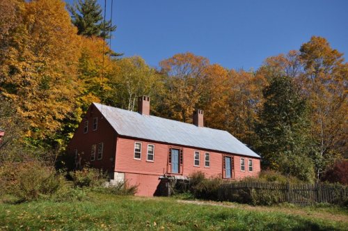
7 listings: 7 buildings, among them the Capt. James Morison House (listed 1978, the first). 12 historic buildings in all.
How old are the homes in Parsonsfield?
25% of Parsonsfield’s homes were built before 1940 (Census estimate, ±7.6 points), against a typical 19% for a Maine town; the median home was built in 1977.
Founding dates: Wikidata, Wikipedia, the U.S. post office records of Blevins & Helbock (CC0) and the Census. Homes by year built: Census ACS 2020–24. National Register of Historic Places: National Park Service (list of May 22, 2026). Old photos, postcards and papers: Wikimedia Commons, the Library of Congress and other public archives, credited on each item’s page. Maps: U.S. Geological Survey historical topographic maps (via Esri) and Sanborn fire-insurance maps (Library of Congress). History text and census tables: Wikipedia (CC BY-SA 4.0). Places that used to be: USGS Geographic Names Information System (2021).
From Wikimedia Commons (9), Wikidata (5), the National Register of Historic Places (7), Wikipedia, Wikidata and Wikipedia for famous people, U.S. Geological Survey historical maps, U.S. Census counts (via Wikipedia), the US Post Offices dataset (Blevins & Helbock), the USGS Geographic Names Information System and old county and town histories (Internet Archive). Archive images are copied here with their credits and licenses, shown on each photo’s page. Refreshed monthly.







 1917
 2015
 2015
 2015
 2015
 2014