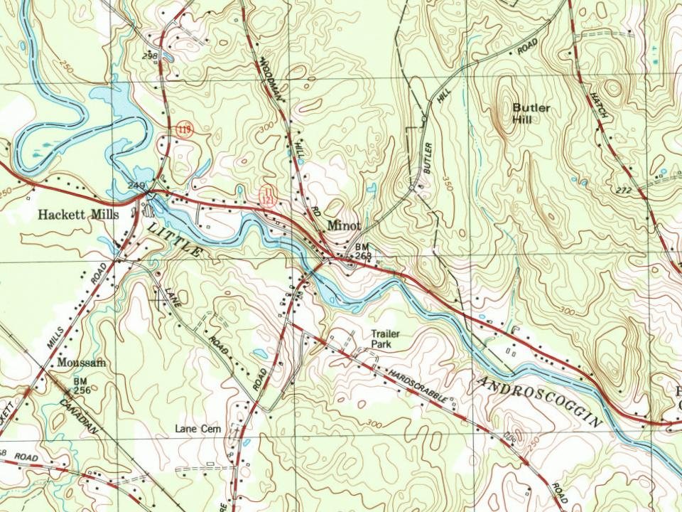
Most of Minot was built recently: 8% of its homes predate 1940 and the median home dates from 1994. Below: maps from 1908 on and the census since 1810.
On its age, its old homes and the National Register, Minot is more historic than 20% of U.S. towns. Its share of homes from before 1940 holds the grade up; its National Register listings pull it down.
C−
HistoryA character grade: shown, never part of Minot’s overall grade.
Maine towns list more on the Register than most of the country (a typical Maine town has 15.9 per 10,000 residents, the U.S. 2.4), so Minot’s 0.0 sits below most of its state (10% of Maine towns have fewer) while its 0 listings outnumber those of 23% of U.S. towns.
How sure. Graded on two of the three inputs, so a change in either one moves the letter more than it would with three. The pre-1940 share is a Census survey estimate (±4.5 points).
Founding year: our sources. Homes: Census ACS 2020–24. National Register: National Park Service, May 2026 list; each listing counted once (boundary changes and added documentation belong to their listing), and a historic district counts its contributing buildings. How TownRatings grades history →
What stands out about Minot’s past
Read from the archive, the National Register and the record. The page puts what stands out first.
Present-day Minot was part of Bakerstown Plantation, granted in 1765 by the Massachusetts General Court to Captain Thomas Baker and his company of soldiers for their services to the state at the 1690 Battle of Quebec. It replaced a 1736 grant at what is now Salisbury, New Hampshire, ruled invalid in 1741 because of a prior claim from the descendants of John Mason. In 1795, Bakerstown Plantation was incorporated as Poland, named after Chief Poland, a noted local Indian sachem. On February 18, 1802, the northeastern part of Poland was set off as Minot, named after George Richards Minot (1758–1802), historian and judge of the General Court who had aided in the town's incorporation.
Passages that mention Minot, cut from the printed page as they were published.
History of Androscoggin County, Maine ..1891 · page 772Read the page →
Read the text
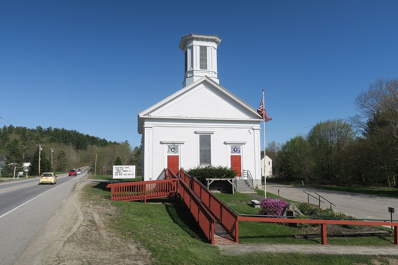
1804, September 8, the proprietors held a meeting "for building a meetinghouse near the centre of the town of Minot." September 27 the town voted "not to build a meeting-house in the centre of the town, and not to build two meeting-houses." November 27 the town consented to the incorporation of a Congregational society ; ayes 54, nays 29. 1805, May 29, the East meetinghouse was raised, and July 3, the Centre meeting-house was raised. Mr Scott had always opposed the building of the latter, and it was only after repeated solicitation that he consented to make the prayer, which gave great offense
Text read by machine from the scan; it may contain errors.
History of Androscoggin County, Maine ..1891 · page 758Read the page →
Read the text
Early Settlers. — Moses Emery, the first settler of Minot, moved to the north side of the river at Minot Corner in 1772 and was the chief adviser and aid of the later settlers, and it is quite evident that had not his home afforded them a temporary stopping-place, and his ferry the means of crossing the Little Androscoggin, the settlement of Minot would have been much retarded.
Text read by machine from the scan; it may contain errors.
Scans and text from the Internet Archive. Books published in 1930 or earlier, which are in the public domain.
Timeline
Minot, 1825 to 1908
Woven from the archive, old maps, post office records, the National Register and the people born here.
Minot is more historic than 20% of U.S. towns. The History grade combines the town’s founding era, the share of homes built before 1940 and its National Register listings. It’s a character grade, so it isn’t part of the overall grade. How it works.
How old are the homes in Minot?
8% of Minot’s homes were built before 1940 (Census estimate, ±4.5 points), against a typical 19% for a Maine town; the median home was built in 1994.
Founding dates: Wikidata, Wikipedia, the U.S. post office records of Blevins & Helbock (CC0) and the Census. Homes by year built: Census ACS 2020–24. National Register of Historic Places: National Park Service (list of May 22, 2026). Old photos, postcards and papers: Wikimedia Commons, the Library of Congress and other public archives, credited on each item’s page. Maps: U.S. Geological Survey historical topographic maps (via Esri) and Sanborn fire-insurance maps (Library of Congress). History text and census tables: Wikipedia (CC BY-SA 4.0). Places that used to be: USGS Geographic Names Information System (2021).
From Wikimedia Commons (9), Wikipedia, Wikidata and Wikipedia for famous people, U.S. Geological Survey historical maps, U.S. Census counts (via Wikipedia), the USGS Geographic Names Information System and old county and town histories (Internet Archive). Archive images are copied here with their credits and licenses, shown on each photo’s page. Refreshed monthly.




 2018
 2013
 2013
 2012
 2012
 2012
 2012
 2012
 2012

