
Bishopville, Maryland, 2010
Bishopville’s story
170 years in pictures
The archive holds 6 old photos and papers going back to 2010.
- 1856Bishopville is settled
Each edition grades its towns against each other only.
Bishopville’s average trip to work is 15 minutes, below both the Maryland town median (32 minutes) and the median of U.S. towns (25 minutes). Only 2 of the 262 Maryland towns we compare have a higher median age than Bishopville. Bishopville has fewer than 1,000 residents, too few for fair grades; the figures below are still real.
Where Bishopville beats most towns.
In a town this size, neighbors are the best guide. Ask them anything.
The archive holds 6 old photos and papers going back to 2010.
Museums, parks, gardens and other places to visit around Bishopville. Close and well known come first.
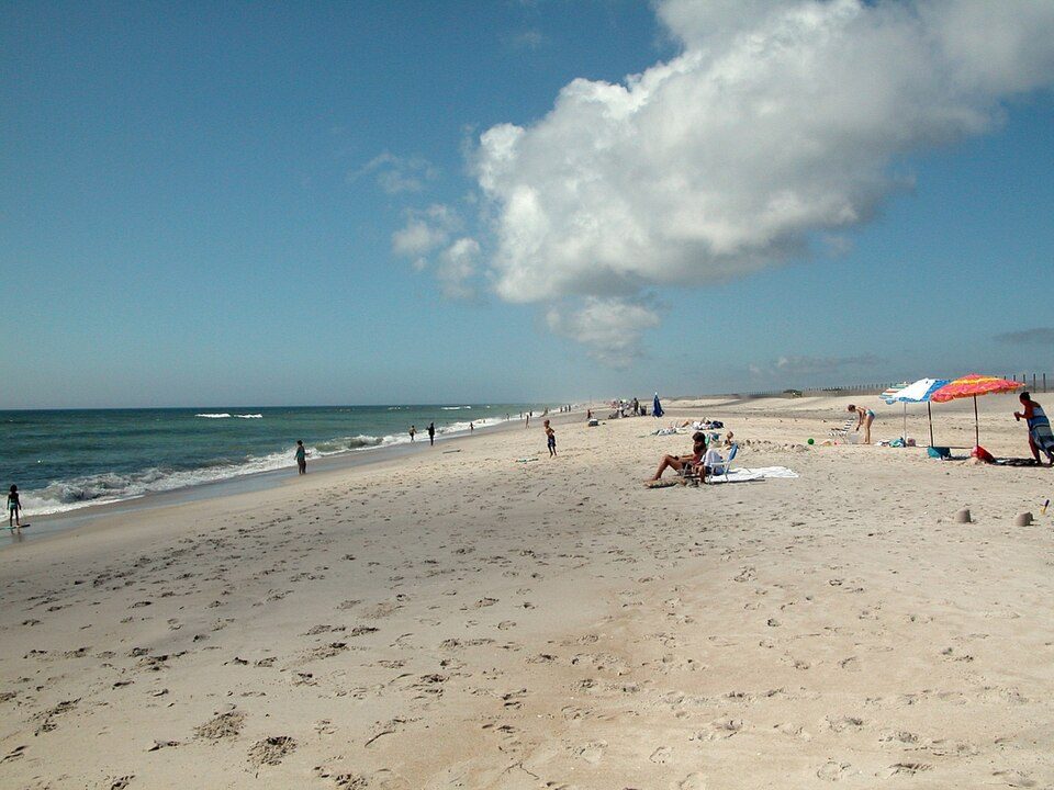 10 mi National SeashoreAssateague Island National Seashore2.3M visitors a year9 mi Theme parkJolly Roger Amusement Park
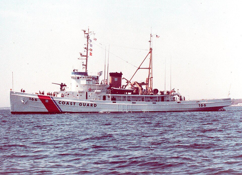 38 mi MuseumUSCGC Tamaroa
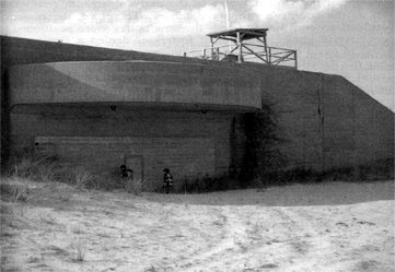 25 mi LandmarkFort Miles
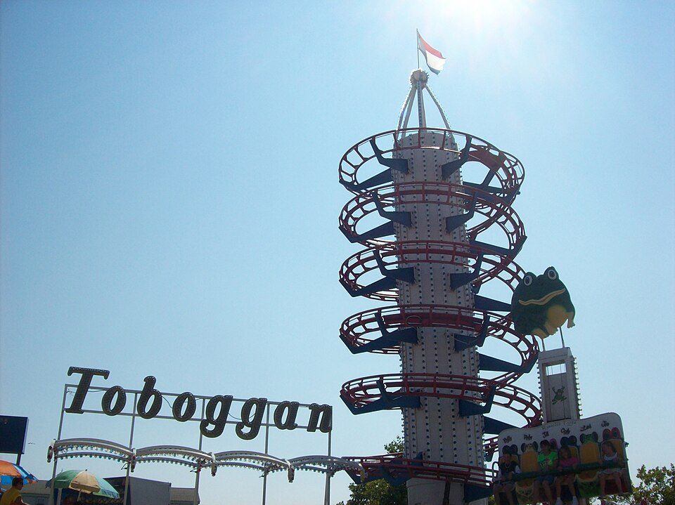 10 mi Theme parkTrimper's Rides
 20 mi Theme parkFunland (Rehoboth Beach, Delaware)
Assateague Island National Seashore: Fritz Geller-Grimm, CC BY-SA 2.5 · USCGC Tamaroa: Unknown USCG member, Public domain · Fort Miles: Unknown, Public domain · Trimper's Rides: Mttbme, CC BY-SA 3.0 · Funland (Rehoboth Beach, Delaware): Tsole, CC BY-SA 4.0
Bishopville is unincorporated, so Worcester County and regional agencies provide most services.
EPA SDWIS (Oct 9, 2026) · HIFLD + EIA-861 2025 · Census 2020 ZCTAs · NCES 2024–25 · registration: vote.gov, updated Mar 11, 2026.
Ordered by what stands out in Bishopville.
For half of commuters, work is under 17 miles away. The top destinations are Ocean City (14%), Salisbury (9%) and Berlin (8%). Bishopville: 0.9% of working residents work locally.
Census LEHD 2023 · ACS
Just over three in five households are owner-occupiers in Bishopville. In the year to September 2026, typical home values climbed 1.5%.
Zillow Home Value Index · Redfin Data Center
FEMA expects less storm and flood damage in Bishopville than in 68% of U.S. communities.
FEMA National Risk Index · OpenFEMA
Expect July afternoons of 87° and January nights of 29°, with about 8 inches of snow a winter.
NOAA U.S. Climate Normals, 1991–2020
The share of adults in Bishopville who report frequent mental distress: 14%. Of 32 CDC measures, Bishopville beats the Maryland average on 9 and trails it on 9.
| Bishopville | Maryland towns | U.S. towns | |
|---|---|---|---|
| High blood pressure (CDC PLACES) | 44% | 35% | 35% |
| Sleep under 7 hours (CDC PLACES) | 30% | 38% | 36% |
| Yearly checkup (CDC PLACES) | 84% | 79% | 79% |
| Diabetes (CDC PLACES) | 15% | 12% | 12% |
| What stands out | Bishopville | MD |
|---|---|---|
| Fewer adults facing food insecurity | 11.7% | 15.4% |
| Fewer adults facing housing insecurity | 10.3% | 13.5% |
| More adults who have had cancer | 11.3% | 7.6% |
CDC PLACES 2025 · modeled estimates for adults · CMS · HRSA
Parks and preserves in Bishopville: one, of 5 acres.
| Biggest places to walk | Trails | Acres |
|---|---|---|
| 1. Bishopville Park | — | 5 |
Trails & parks © OpenStreetMap contributors · Conserved land: USGS PAD-US
None within 15 miles of Bishopville; the nearest are
About 0 of every 100 Bishopville residents are enrolled in college, against 7 across Maryland.
Where Bishopville’s working residents go each day. Line width shows the share.
Census LEHD 2023
Census-designated place in Maryland, United States
Bishopville is an unincorporated community and census-designated place 10 miles (16 km) north of Berlin, Maryland, United States. The community is just south of the Delaware state line. It is part of the Salisbury, Maryland-Delaware Metropolitan Statistical Area. As of the 2010 census, Bishopville had a population of 531. Bishopville arose at the site of a mill on and crossing of the Bishopville Prong of the St. Martin's River. The crossing, the main road through the community, is now Maryland Route 367.
From Wikipedia, licensed CC BY-SA 4.0 · facts via Wikidata (CC0)
Short answers, built from the data on this page.
Bishopville has fewer than 1,000 residents, too few for fair grades; the figures below are still real.


