
Group of elderly women and men on a porch, in Whitinsville, c. 1865
Whitinsville’s story
191 years in pictures
The archive holds 6 old photos and papers going back to 1865.
- 1835Whitinsville is settled
Each edition grades its towns against each other only.

Whitinsville’s density of trails is 1.1 miles per square mile, where Massachusetts’ towns sit at 1.8 and U.S. towns at 0.4. Castle Hill Farm Conservation Land, at 89 acres with 1.3 miles of trail, is the biggest park or preserve. We don’t grade Whitinsville yet; the figures below are still real.
Where Whitinsville beats most towns.
The archive holds 6 old photos and papers going back to 1865.
Museums, parks, gardens and other places to visit around Whitinsville. Close and well known come first.
 Big draw10 mi LakeLake Chaubunagungamaug
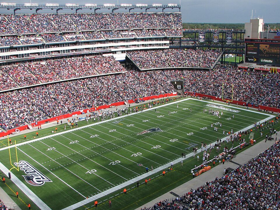 Big draw21 mi Stadium & arenaGillette Stadium
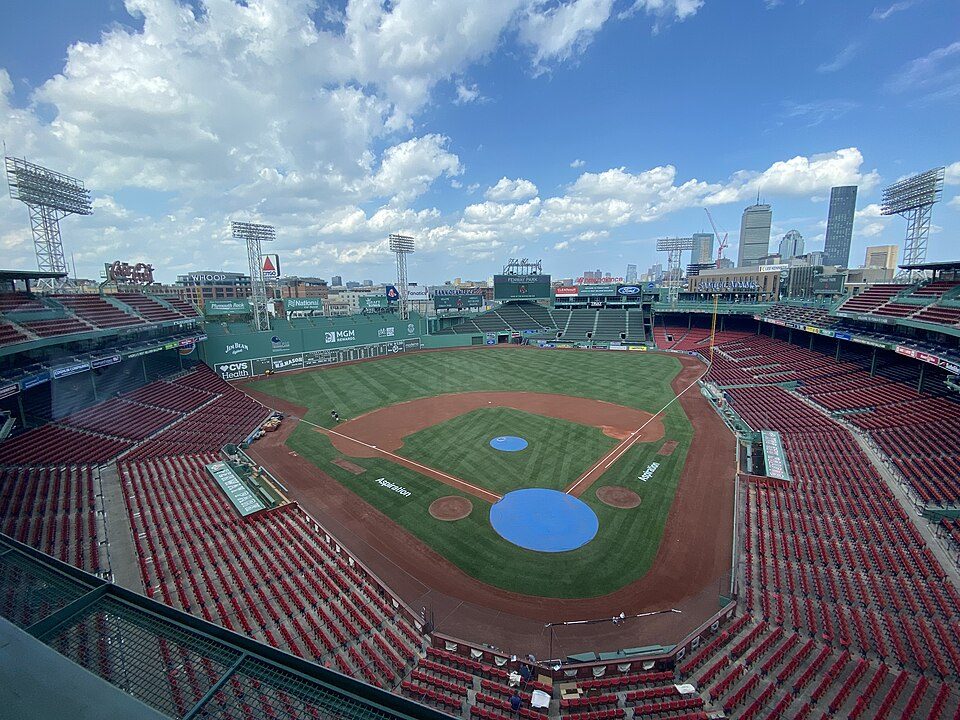 Big draw33 mi Stadium & arenaFenway Park
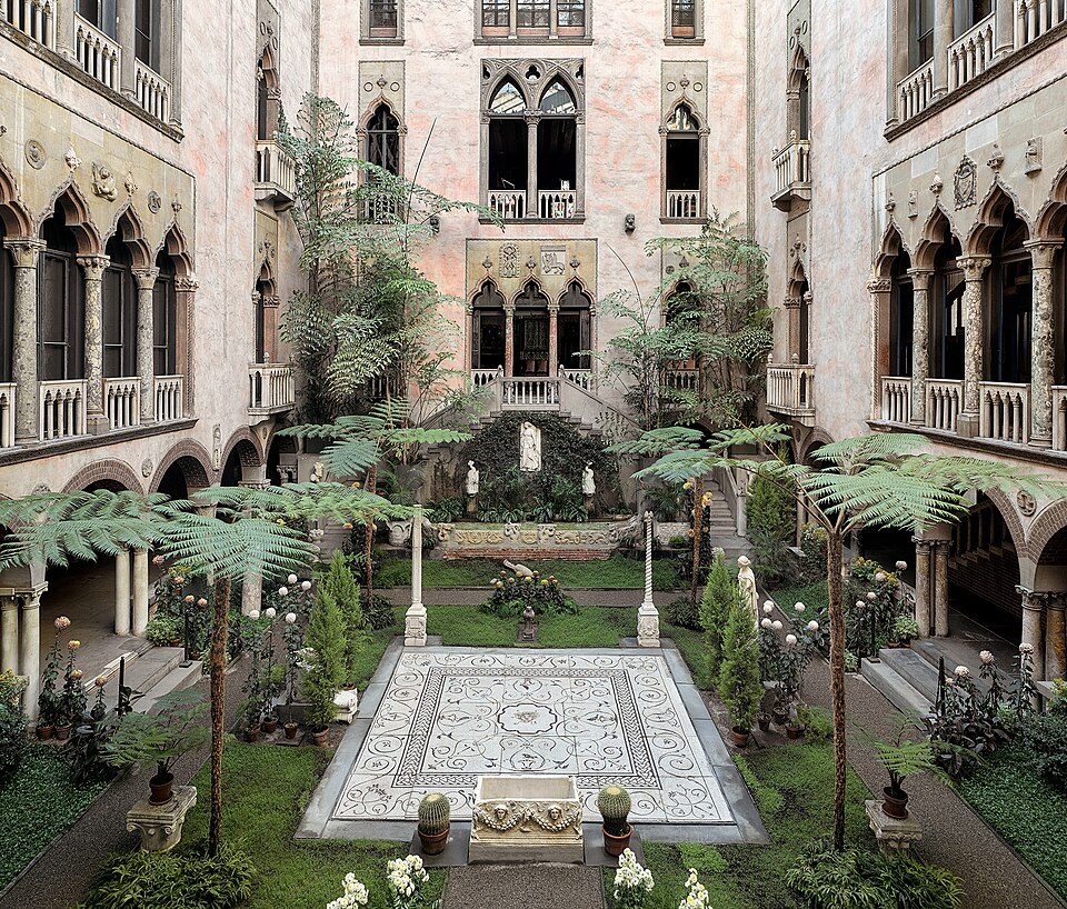 Big draw33 mi MuseumIsabella Stewart Gardner Museum
 28 mi LakeWalden Pond
 39 mi MuseumUSS Massachusetts
Lake Chaubunagungamaug: Bree from Worcester, MA, USA, CC BY-SA 2.0 · Gillette Stadium: Bernard Gagnon, CC BY-SA 3.0 · Fenway Park: Gatorfan252525, CC BY-SA 4.0 · Isabella Stewart Gardner Museum: Sean Dungan, CC BY-SA 4.0 · Walden Pond: Victorgrigas, CC BY-SA 3.0 · USS Massachusetts: USN, Public domain
Whitinsville is unincorporated, so Worcester County and regional agencies provide most services.
EPA SDWIS (Oct 9, 2026) · HIFLD + EIA-861 2025 · Census 2020 ZCTAs · NCES 2024–25 · registration: vote.gov, updated Nov 18, 2024.
Ordered by what stands out in Whitinsville.
FEMA puts 48% of Whitinsville’s expected hazard losses down to inland flooding, and 29% to hurricanes. Expected storm and flood damage is lower than in 79% of U.S. communities. The town has had 4 paid flood insurance claims since 2001.
FEMA flood insurance claims · FEMA National Risk Index · OpenFEMA
Whitinsville’s typical July afternoon high stands at 83°F, close to Massachusetts’ towns (83°F) and below U.S. towns (85°F).
NOAA U.S. Climate Normals, 1991–2020
Whitinsville’s average trip to work is 37 minutes. Just 9% of the town’s working residents have a job in town. Among residents in the town, 10% live below the poverty line. For half of commuters, work is under 13 miles away.
| Whitinsville | Massachusetts towns | U.S. towns | |
|---|---|---|---|
| Average trip to work | 37 minutes | 30 minutes | 25 minutes |
| Median household income | $96,000 | $120,000 | $80,000 |
| Below the poverty line | 10% | 6% | 9.6% |
Census LEHD 2023 · ACS
Trails run 4.3 miles in 8 parks and preserves. Parks and preserves in Whitinsville: 8, covering 202 acres.
| Biggest places to walk | Trails | Acres |
|---|---|---|
| 1. Castle Hill Farm Conservation Land | 1.3 mi | 89 |
| 2. Fletcher Street Conservation Land | 0.2 mi | 33 |
| 3. Arcade Pond | — | 27 |
Trails & parks © OpenStreetMap contributors · Conserved land: USGS PAD-US
In Whitinsville, 33% of adults have obesity. Among adults locally, 19% binge drink and 18% report frequent mental distress.
| Whitinsville | Massachusetts towns | U.S. towns | |
|---|---|---|---|
| Depression (CDC PLACES) | 28% | 24% | 23% |
| Binge drink (CDC PLACES) | 19% | 17% | 16% |
| Frequent mental distress (CDC PLACES) | 18% | 16% | 17% |
| Obesity (CDC PLACES) | 33% | 28% | 35% |
| What stands out | Whitinsville | MA |
|---|---|---|
| More adults with obesity | 33% | 27.7% |
| More adults with depression | 27.8% | 23.8% |
CDC PLACES 2025 · modeled estimates for adults · CMS · HRSA
A home in Whitinsville typically sold within 16 days of listing. For households locally, the share who own their home is 59%. In Whitinsville, 29% of sales closed above the list price.
| Whitinsville | Massachusetts towns | U.S. towns | |
|---|---|---|---|
| Households that own their home | 59% | 79% | 73% |
| Median rent | $1,197 a month | $1,683 a month | $1,185 a month |
Census ACS, 2020–24 · Zillow Home Value Index · Redfin Data Center
9 within 15 miles of the center of Whitinsville
About 5 of every 100 Whitinsville residents are enrolled in college, against 8 across Massachusetts.
8 notable people were born in Whitinsville.


Census-designated place in Massachusetts, United States
Whitinsville is an unincorporated village within the town of Northbridge in Worcester County, Massachusetts, United States. Whitinsville is a census-designated place (CDP) and its population was 6,750 at the 2020 census. Whitinsville is pronounced as if it were spelled "White-ins-ville." It was founded by the Whitin family, after whom it is also named. It is a post office jurisdiction, with a ZIP Code of 01588. It is located on the Mumford River, a tributary of the Blackstone River. Whitinsville has been designated as a mill village of national historic significance to America's earliest industrialization, and is one of only four villages selected by the John H. Chaffee Blackstone River Val…
From Wikipedia, licensed CC BY-SA 4.0 · facts via Wikidata (CC0)
3 towns share a border with Whitinsville.
| Town | MA rank | Overall | Cost | Safety | Schools | Health |
|---|---|---|---|---|---|---|
| Whitinsville | — | — | — | — | — | — |
| Northbridge | #188 | B− | C | A− | C | B+ |
| Sutton | #73 | A | C+ | A− | B | A |
| Uxbridge | #148 | B | C− | A− | C | A− |
Whitinsville isn’t graded (fewer than 1,000 residents, or not enough data). Compare Whitinsville with a neighbor →
Short answers, built from the data on this page.
We don’t grade Whitinsville yet; the figures below are still real.
8 notable people were born here, including John Kizirian and Vernon Ahmadjian.


