
Lake Chaubunagungamaug
Lake Chaubunagungamaug, also known as Webster Lake, is a lake in the New England town of Webster, Massachusetts. The mildest months are May to September, with highs of 69–82°F.

A lake inside Webster
One of the most looked-up attractions in the U.S.
About 155K people a year read its Wikipedia article, more than for 98% of the 7,770 attractions we track.
Winters are cold
January nights drop to 17°, with about 47" of snow a year. When to go ↓
You can stay in Webster
Lake Chaubunagungamaug is inside Webster, which has 5 places to stay, so you won’t need a base farther out. Where to stay ↓
A day trip from Boston
Boston is about 47 miles northeast (straight-line). Where to stay ↓
Best months: May, Jun, Jul, Aug and Sep
May, June, July, August and September are the mild months, with highs of 69–82°. When to go ↓
Written from NOAA 1991–2020 normals, Overture places to stay, Census town figures, Wikidata and Wikipedia.
How the seasons run
The weather near Lake Chaubunagungamaug shifts through the year, as below.
Lake Chaubunagungamaug
Lake Chaubunagungamaug, also known as Webster Lake, is a lake in the New England town of Webster, Massachusetts. The lake is located near the border with Connecticut and has a surface area of 1,442 acres (2.253 mi2).
Since 1912, the lake has also been known by a much longer name, having 45 letters comprising fourteen syllables: Lake Chargoggagoggmanchauggagoggchaubunagungamaugg. Under this name, it has become famous for having the longest name of any geographic feature in the United States.
- Type
- Lake
- Area
- 1,441 acres
- Elevation
- 476 ft
- Wikipedia readers
- 155K a year
Where to stay near Lake Chaubunagungamaug
For a bed close by, look to Webster (5) and Sturbridge (24).
Compare 8 towns
| Town | From Lake Chaubunagungamaug | Drive | Places to stay | People | Typical home | Safety |
|---|---|---|---|---|---|---|
| Webster | in town | — | 5 1 hotel · 1 lodge or cabins · 2 campgrounds · 1 RV park | 17,835 | $362K | C |
| Sturbridge | 13 mi west | 20 min | 24 13 hotels · 3 motels · 4 inns & B&Bs · 2 lodges & cabins · 2 campgrounds | 10,120 | $426K | B− |
| Woodstock | 11 mi southwest | 15 min | 14 3 inns & B&Bs · 2 lodges & cabins · 9 campgrounds | 8,474 | $417K | — |
| Glocester | 13 mi southeast | 20 min | 12 1 hotel · 2 motels · 1 inn or B&B · 7 campgrounds · 1 RV park | 10,612 | $397K | A+ |
| Thompson | 4 mi south | 5 min | 4 1 inn or B&B · 1 lodge or cabins · 2 campgrounds | 9,566 | $292K | — |
| Auburn | 11 mi north | 15 min | 8 6 hotels · 1 lodge or cabins · 1 campground | 17,566 | $400K | C |
| Worcester | 16 mi north | 25 min | 15 12 hotels · 1 inn or B&B · 2 lodges & cabins | 213,862 | $374K | — |
| Douglas | 5 mi east | 5 min | 4 2 lodges & cabins · 2 campgrounds | 9,545 | $471K | A− |
Day trip from
Straight-line miles.
Getting there
Nearest airports with airline service
Make a day of it near Lake Chaubunagungamaug
Each of these is within 49 miles.
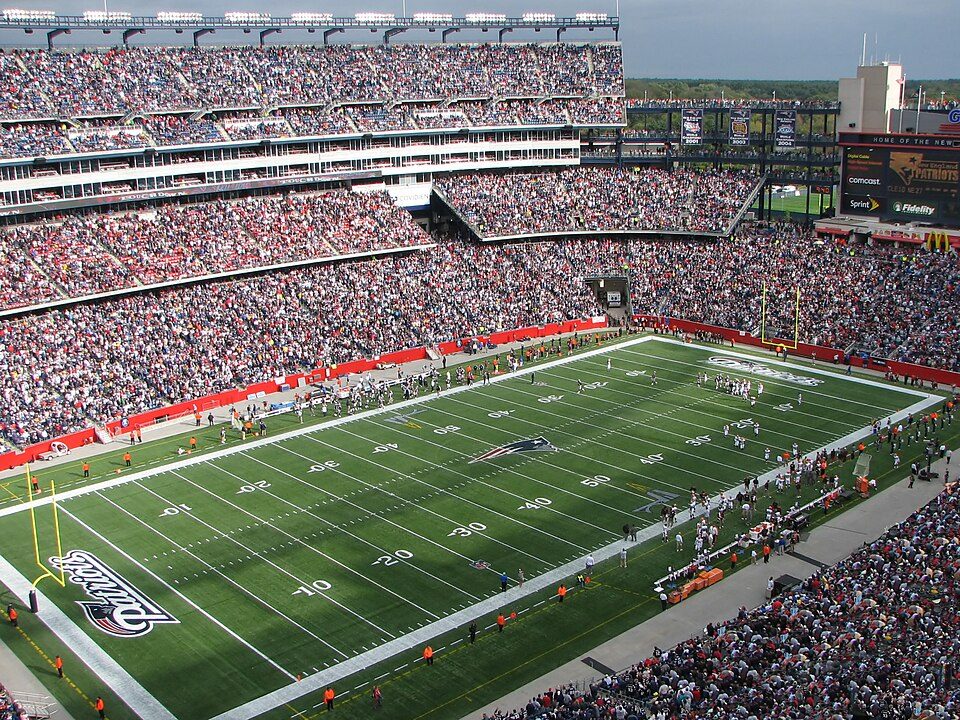 Big draw130 mi Stadium & arenaGillette Stadium
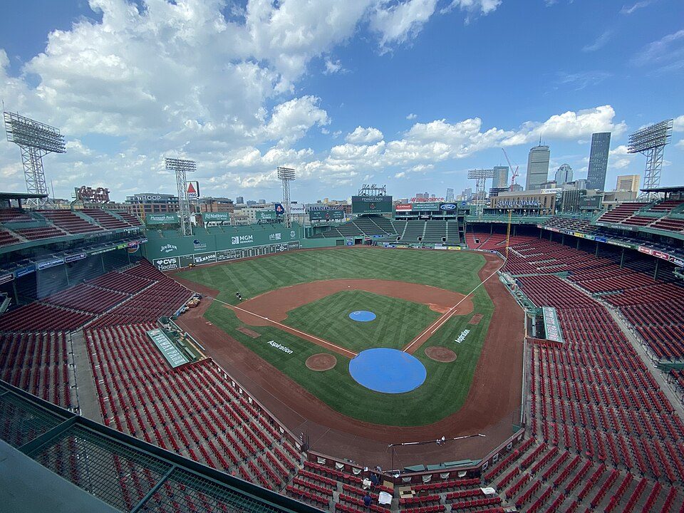 Big draw44 mi Stadium & arenaFenway Park
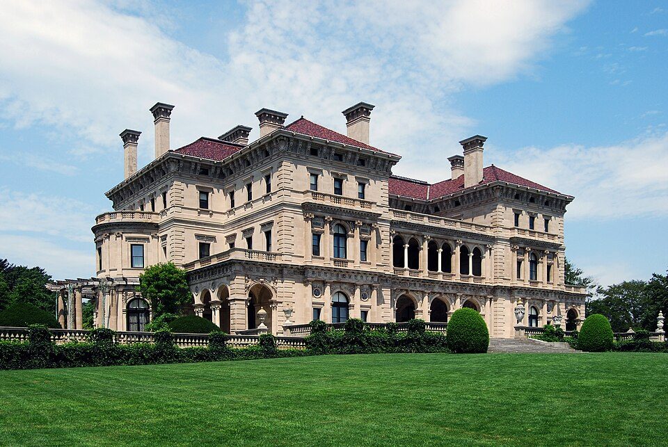 Big draw49 mi MuseumThe Breakers
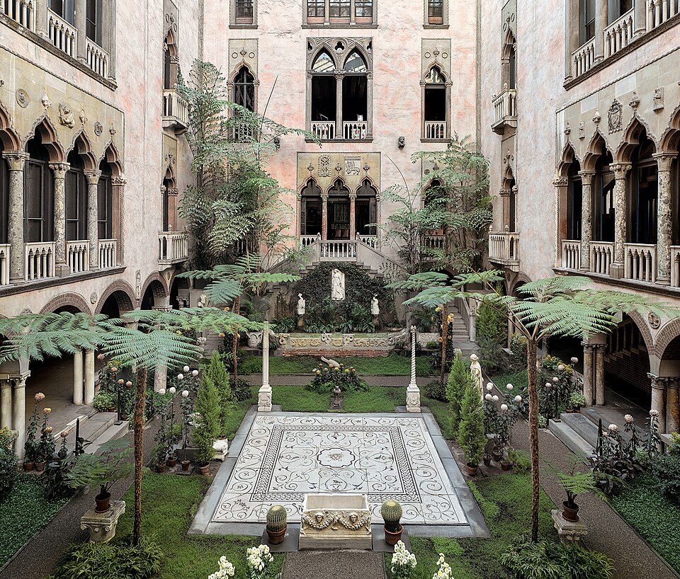 Big draw43 mi MuseumIsabella Stewart Gardner Museum
 40 mi Ancient siteHMS Endeavour
 42 mi MuseumUSS Massachusetts
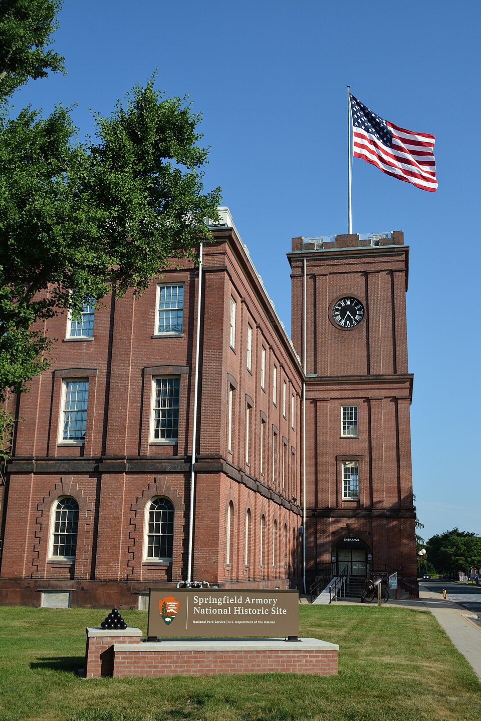 38 mi National Historic SiteSpringfield Armory National Historic Site14K visitors a year
 37 mi LakeWalden Pond
Photo credits
Gillette Stadium: Bernard Gagnon, CC BY-SA 3.0 · Fenway Park: Gatorfan252525, CC BY-SA 4.0 · The Breakers: UpstateNYer, CC BY-SA 3.0 · Isabella Stewart Gardner Museum: Sean Dungan, CC BY-SA 4.0 · HMS Endeavour: Samuel Atkins (c.1760-1810), Public domain · USS Massachusetts: USN, Public domain · Springfield Armory National Historic Site: National Park Service, Public domain · Walden Pond: Victorgrigas, CC BY-SA 3.0


Planning a visit to Lake Chaubunagungamaug
Is Lake Chaubunagungamaug in Webster?
Yes. It’s inside Webster, MA.
When is the best time to visit Lake Chaubunagungamaug?
May, June, July, August and September, with highs of 69–82°.
How far is Lake Chaubunagungamaug from Boston?
About 47 miles northeast of Boston, as the crow flies.
What is the closest airport to Lake Chaubunagungamaug?
Worcester Regional (ORH), about 16 miles away. The nearest big hub is Rhode Island T. F. Green (PVD), about 31 miles.
Where should I stay near Lake Chaubunagungamaug?
Sturbridge (13 mi, 24 places to stay), Woodstock (11 mi, 14 places to stay) and Webster (in town, 5 places to stay).
Inside knowledge from Webster
Be the first to share a tip in Webster’s Town Square.
Sources: National Park Service · ski areas © OpenSkiMap / OpenStreetMap contributors · Wikidata · Wikipedia readership · NOAA climate normals · U.S. Census.