White Island ShoresMA
This town in Massachusetts has a population of 1,620.
Is White Island Shores a good place to live?
White Island Shores’ average commute is 37 minutes, where Massachusetts’ towns sit at 30 minutes and U.S. towns at 25 minutes. Among 284 Massachusetts towns, just one has a higher home-ownership rate than White Island Shores. White Island Shores’ trail network density is 6.0 miles per square mile, against 1.8 in Massachusetts’ towns and 0.4 across U.S. towns. Red Brook Wildlife Management Area, at 130 acres with 4 miles of trail, is the biggest park or preserve. We don’t grade White Island Shores yet; the figures below are still real.
100% of working residents leave White Island Shores for work
Where White Island Shores’s working residents go each day. Line width shows the share.
Census LEHD 2024
The data
Ordered by what stands out in White Island Shores.
White Island Shores keeps nearly a quarter of its land conserved
7.8 miles of trail wind through 2 parks and preserves. Together, the parks and preserves in White Island Shores cover 132 acres.
| Biggest places to walk | Trails | Acres |
|---|---|---|
| 1. Red Brook Wildlife Management Area | 4 mi | 130 |
| 2. Shangri-La Park | — | 2 |
Trails & parks © OpenStreetMap contributors · Conserved land: USGS PAD-US
White Island Shores has 0.0 jobs per working resident, so most workers leave town for work
For half of commuters, work is under 23 miles away. Among residents in White Island Shores, 2.3% live below the poverty line. The top destinations are Wareham (13%), Boston (12%) and Plymouth (6%). In White Island Shores, the middle household income is $107,000.
| White Island Shores | Typical Massachusetts town | Typical U.S. town | |
|---|---|---|---|
| Below the poverty line | 2.3% | 6% | 9.6% |
| Median household income | $107,000 | $120,000 | $80,000 |
Where working residents work
Census LEHD 2024 · ACS
In White Island Shores, expect four seasons and pleasant summers
For White Island Shores, the midsummer high is 82°F.
Typical low → high °F
NOAA U.S. Climate Normals, 1991–2020
How healthy White Island Shores is
Across all 32 CDC measures, White Island Shores beats Massachusetts on 1 and trails on 1. White Island Shores: nearly a fifth of adults report frequent mental distress. Also worth knowing: among 280 Massachusetts towns, just 9 have a higher share of adults who binge drink than White Island Shores.
| White Island Shores | Typical Massachusetts town | Typical U.S. town | |
|---|---|---|---|
| Binge drink (CDC PLACES) | 20% | 17% | 16% |
| Frequent mental distress (CDC PLACES) | 19% | 16% | 17% |
| Feel lonely (CDC PLACES) | 35% | 33% | 33% |
| Depression (CDC PLACES) | 27% | 24% | 23% |
| What stands out | White Island Shores | MA |
|---|---|---|
| More adults screened for colon cancer | 71.9% | 68.4% |
| More adults in frequent mental distress | 19.4% | 16.2% |
CDC PLACES 2025 · modeled estimates for adults · CMS · HRSA
Moderate risk in White Island Shores, with inland flooding at the top
Expected losses in White Island Shores break down as 76% from inland flooding and 8% from hurricanes. White Island Shores’ natural-hazard score from FEMA is recorded as 48 of 100.
FEMA National Risk Index · OpenFEMA
Zillow Home Value Index · Redfin Data Center
Everything we know about White Island Shores
Gillette Stadium and 79 more within 40 miles
Museums, parks, gardens and other places to visit around White Island Shores. Close and well known come first.
 Big draw38 mi Stadium & arenaGillette Stadium
 28 mi MuseumUSS Massachusetts
 10 mi MuseumPlimoth Patuxet
 39 mi Ancient siteHMS Endeavour
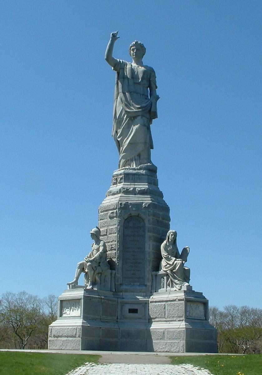 11 mi LandmarkNational Monument to the Forefathers
 38 mi Ancient siteSS Pendleton
Photo credits
Gillette Stadium: Bernard Gagnon, CC BY-SA 3.0 · USS Massachusetts: USN, Public domain · Plimoth Patuxet: Tr!sie, CC BY-SA 3.0 · HMS Endeavour: Samuel Atkins (c.1760-1810), Public domain · National Monument to the Forefathers: T.S. Custadio aka ToddC4176 at en.wikipedia, Public domain · SS Pendleton: United States Coast Guard, Richard C. Kelsey, Public domain


Moving to White Island Shores: who provides what
White Island Shores is unincorporated, so Plymouth County and regional agencies provide most services.
EPA SDWIS (Oct 9, 2026) · HIFLD + EIA-861 2025 · Census 2020 ZCTAs · NCES 2024–25 · registration: vote.gov, updated Nov 18, 2024.
Colleges nearby
1 within 15 miles of the center of White Island Shores
About 1 of every 100 White Island Shores residents are enrolled in college, against 8 across Massachusetts.
White Island Shores’s neighbors
2 towns share a border with White Island Shores.
| Town | MA rank | Overall | Cost | Safety | Schools | Health |
|---|---|---|---|---|---|---|
| White Island Shores | — | — | — | — | — | — |
| Wareham | #247 | C− | C+ | C+ | D | B |
| Plymouth | #180 | B | D | B− | B− | A− |
White Island Shores isn’t graded (fewer than 1,000 residents, or not enough data). Compare White Island Shores with a neighbor →
Questions about White Island Shores
Short answers, built from the data on this page.
Is White Island Shores, MA a good place to live?
We don’t grade White Island Shores yet; the figures below are still real.
Say something about White Island Shores.
Ask a question, answer one, post a photo or an event. Free, and the parts only a neighbor would know are the parts worth reading.