348 years in pictures
Census counts: 854 in 1790, 23,303 in 2020. The archive holds 12 old photos and papers going back to 1798 and 7 maps from 1886 on.
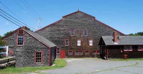
3 places on the National Register of Historic Places.
- 1678Wareham is settled
Each edition grades its towns against each other only.

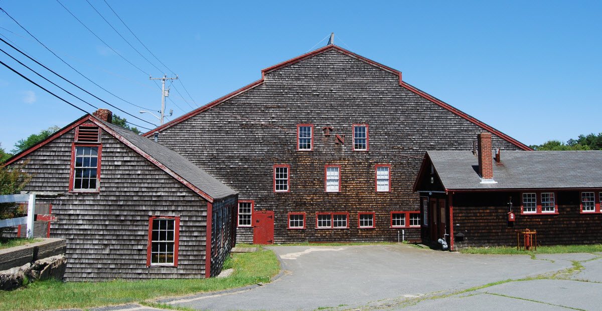
Wareham's standout: it has 115 miles of trail. Overall it grades C−, 247th of 282 graded towns in Massachusetts. Its weakest subject is schools: its schools rank behind 92% of the state's. Wareham’s trail density is 2.5 miles per square mile, above both the Massachusetts town median (1.8) and the median of U.S. towns (0.4). Its National Register listings include WITCH (catboat) and Tremont Nail Factory District.
Where Wareham beats most towns, and one thing worth knowing.
Tremont Nail Factory District| School | Grades | Students |
|---|---|---|
| Wareham Elementary School | PK–4 | 912 |
| Wareham Middle | 5–7 | 432 |
| Wareham Senior High | 8–12 | 533 |
Census counts: 854 in 1790, 23,303 in 2020. The archive holds 12 old photos and papers going back to 1798 and 7 maps from 1886 on.
3 places on the National Register of Historic Places.
Wareham takes its name from Wareham in Dorset, England, 3,220 miles across the Atlantic.
UKUK editionWareham, settled in 1678, takes its name from Wareham, a town in Dorset, England.
Named after: each U.S. town’s Wikipedia article. Grades compare each town with towns in its own country, so they aren’t a head-to-head.
Each subject compared with towns across the country (schools within Massachusetts), ordered by how far Wareham is from typical.
How TownRatings grades towns →
Museums, parks, gardens and other places to visit around Wareham. Close and well known come first.
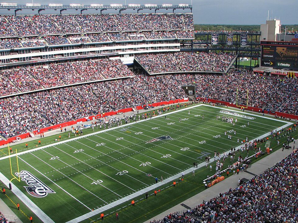
Big draw37 mi Stadium & arenaGillette Stadium
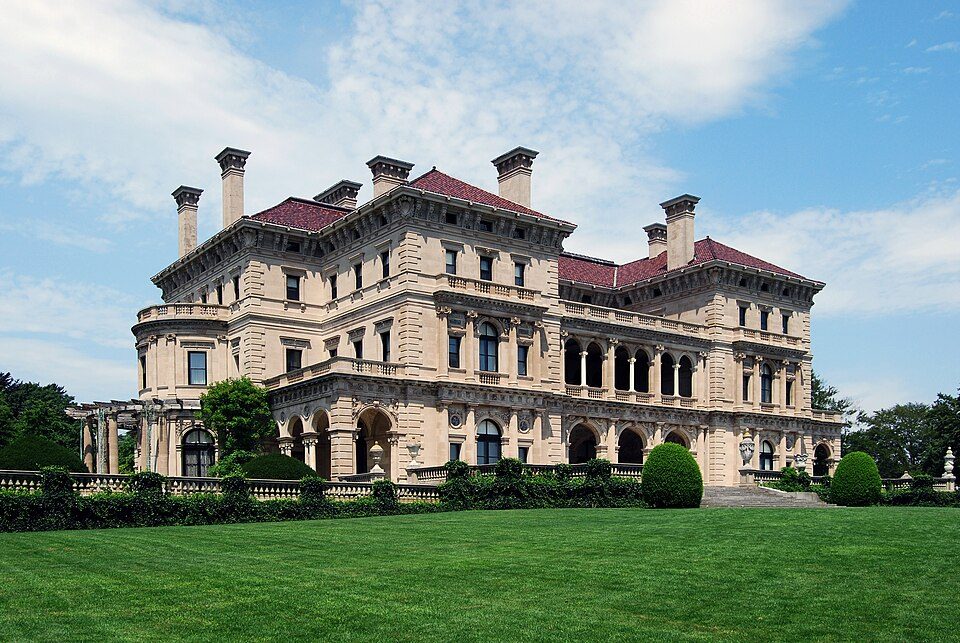
Big draw37 mi MuseumThe Breakers
24 mi MuseumUSS Massachusetts
35 mi Ancient siteHMS Endeavour
13 mi MuseumPlimoth Patuxet
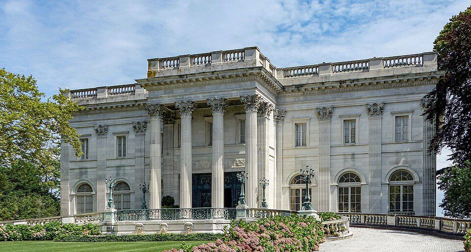
37 mi MuseumMarble HouseGillette Stadium: Bernard Gagnon, CC BY-SA 3.0 · The Breakers: UpstateNYer, CC BY-SA 3.0 · USS Massachusetts: USN, Public domain · HMS Endeavour: Samuel Atkins (c.1760-1810), Public domain · Plimoth Patuxet: Tr!sie, CC BY-SA 3.0 · Marble House: [email protected], Public domain
Who provides power, water and the rest in Wareham, and how to reach them.
EPA SDWIS (Oct 9, 2026) · HIFLD + EIA-861 2025 · Census 2020 ZCTAs · NCES 2024–25 · registration: vote.gov, updated Nov 18, 2024.
Ordered by what stands out in Wareham.
Wareham costs less than Middleborough or any other town next door, is safe by national standards but not by Massachusetts’s and is healthy by national standards but behind most towns in Massachusetts.
The biggest place to walk is Red Brook Wildlife Management Area, 308 acres with 8.2 miles of trail.
| Biggest places to walk | Trails | Acres |
|---|---|---|
| 1. Red Brook Wildlife Management Area | 8.2 mi | 308 |
| 2. Minot Forest | 4.5 mi | 169 |
| 3. Great Neck Wildlife Sanctuary | 3.7 mi | 207 |
Trails & parks © OpenStreetMap contributors · Conserved land: USGS PAD-US
Each of its 4 graded neighbors has a higher School Grade than its D, Marion highest at B+.
Its public schools are run by the Wareham school district. Two of its 5 schools are below, each with why it’s listed. The largest public high school is Wareham Senior High, with 533 students.
| School | Level | Students | Letter |
|---|---|---|---|
| Wareham Elementary SchoolLargest public elementary schoolGrades PK–4 | Grades PK–4 | 912 | C− |
| Wareham Senior HighLargest public high schoolGrades 8–12 | Grades 8–12 | 533 | C |
NCES · EDFacts · graded within MA on state tests and graduation
Most working residents leave Wareham for work: only 13% work in town. Wareham’s median household income is $90,000, below Massachusetts’ towns ($120,000) but above U.S. towns ($80,000). Jobs based in Wareham grew to 7,793 in 2023, 714 more than in 2013.
| Wareham | Massachusetts towns | U.S. towns | |
|---|---|---|---|
| Median household income | $90,000 | $120,000 | $80,000 |
| Average trip to work | 28 minutes | 30 minutes | 25 minutes |
| Working residents who work in town | 13% | 9.8% | 8% |
| Work from home | 12% | 18% | 11% |
Census LEHD 2023 · ACS
Its typical home is the least expensive on its borders; Middleborough is next at $569K.
The typical Wareham home is worth about $484,000, up 3.1% in a year, 26% below the Massachusetts typical home. Wareham’s median rent is $1,504 a month.
| Wareham | Massachusetts towns | U.S. towns | |
|---|---|---|---|
| Households that own their home | 84% | 79% | 73% |
| Median rent | $1,504 a month | $1,683 a month | $1,185 a month |
Census ACS, 2020–24 · Zillow Home Value Index · Redfin Data Center
Wareham has chilly, snowy winters and pleasant summers, with plenty of rain. The July high in Wareham is 82°F.
NOAA U.S. Climate Normals, 1991–2020
At 24.6 crimes per 1,000 residents a year, it reports more crime than 86% of Massachusetts’s graded towns. Each of the 4 graded towns on its borders reports less crime per resident, from Plymouth (B−) to Rochester (A−). Reported crimes rose from 341 to 415 over the last three FBI years, a rise beyond ordinary year-to-year swings.
FBI crime data, 2025 · crimes reported to police
750 flood insurance claims have been filed here, and 21 properties have flooded more than once.
Expected storm and flood damage is lower than in 62% of U.S. communities. Since 1978, 750 flood insurance claims have been paid out in Wareham.
FEMA flood insurance claims · FEMA National Risk Index · OpenFEMA
Within Massachusetts it is less healthy than 87% of the 279 graded towns: Massachusetts sets a high bar. All 4 graded neighbors score healthier than its B, from Marion (A−) to Bourne (A).
Wareham beats the Massachusetts average on 1 of 32 CDC measures and trails it on 10. 15% of Wareham adults report frequent physical distress.
| Wareham | Massachusetts towns | U.S. towns | |
|---|---|---|---|
| Frequent physical distress (CDC PLACES) | 15% | 12% | 14% |
| Frequent mental distress (CDC PLACES) | 18% | 16% | 17% |
| Obesity (CDC PLACES) | 31% | 28% | 35% |
| Yearly checkup (CDC PLACES) | 82% | 82% | 79% |
| What stands out | Wareham | MA |
|---|---|---|
| More adults screened for colon cancer | 72.5% | 68.4% |
| More adults with COPD | 8.2% | 5.9% |
CDC PLACES 2025 · modeled estimates for adults · CMS · HRSA
1 within 15 miles of the center of Wareham
About 6 of every 100 Wareham residents are enrolled in college, against 8 across Massachusetts.
Coastal flooding makes up 13% of the storm damage FEMA expects here.
15.7% of homes are seasonal or vacation homes, so the town is fuller in summer than its census count suggests.
FEMA National Risk Index · OpenFEMA · OpenStreetMap
3 places in Wareham on the National Register of Historic Places.
12 notable people were born in Wareham.
Town in Massachusetts, United States
Wareham ( WAIR-ham) is a town in Plymouth County, Massachusetts, United States. As of the 2020 census, the town had a population of 23,303. Wareham is in the southern outskirts of Greater Boston, and is a part of the South Coast region of Massachusetts which encompasses the cities and towns that surround Buzzards and Mount Hope bays.
From Wikipedia, licensed CC BY-SA 4.0 · facts via Wikidata (CC0)
10 towns share a border with Wareham.
All 4 graded towns on its borders grade higher than its C−; Bourne (C+) is closest. Plymouth next door grades higher for schools (B− to Wareham’s D) and lower for cost of living (D to C+).
| Town | MA rank | Overall | Cost | Safety | Schools | Health |
|---|---|---|---|---|---|---|
| Wareham | #247 | C− | C+ | C+ | D | B |
| Marion | #80 | A | C+ | B+ | B+ | A− |
| Plymouth | #180 | B | D | B− | B− | A− |
| Bourne | #222 | C+ | C− | B− | C | A |
| Weweantic | — | — | — | — | — | — |
| Rochester | #121 | B+ | C | A− | B | A− |
| Buzzards Bay | — | — | — | — | — | — |
| West Wareham | — | — | — | — | — | — |
Weweantic, Buzzards Bay and West Wareham aren’t graded (fewer than 1,000 residents, or not enough data). Compare Wareham with a neighbor →
Short answers, built from the data on this page.
Wareham grades C− overall, better than 23% of U.S. towns and #247 of 282 in Massachusetts. It grades B for health, C+ for safety and D for schools. Schools is its weak spot, with a D.
Massachusetts has less crime than most states, so among its own towns Wareham sits nearer the middle.
That is 4.2 years of the area's median household income ($115,863 across the Boston-Cambridge-Newton, MA-NH metro area). Cost of living, which also weighs rents, property taxes and how many households pay 30% or more of their income for housing, grades C+.
12 notable people were born here, including Geena Davis and Skipp Sudduth.