
Community Church and town building, West Yarmouth, Mass (76180), c. 1930
West Yarmouth’s story
197 years in pictures
The archive holds 6 old photos and papers going back to 1930.
- 1829West Yarmouth is settled
Each edition grades its towns against each other only.

36% of residents are 65 or older in West Yarmouth, above both Massachusetts’ towns (19%) and U.S. towns (18%). Among 284 Massachusetts towns, just 8 have a higher January low than West Yarmouth. West Yarmouth’s density of trails is 3.0 miles per square mile, above both Massachusetts’ towns (1.8) and U.S. towns (0.4). Water Department Land, at 211 acres with 5.5 miles of trail, is the biggest park or preserve. We don’t grade West Yarmouth yet; the figures below are still real.
Where West Yarmouth beats most towns.
Coastal flooding makes up 14% of the storm damage FEMA expects here.
FEMA National Risk Index · OpenFEMA · OpenStreetMap
The archive holds 6 old photos and papers going back to 1930.
Museums, parks, gardens and other places to visit around West Yarmouth. Close and well known come first.
 16 mi Ancient siteSS Pendleton
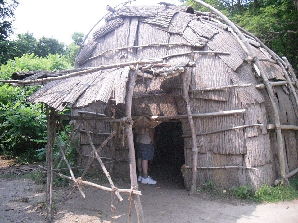 28 mi MuseumPlimoth Patuxet
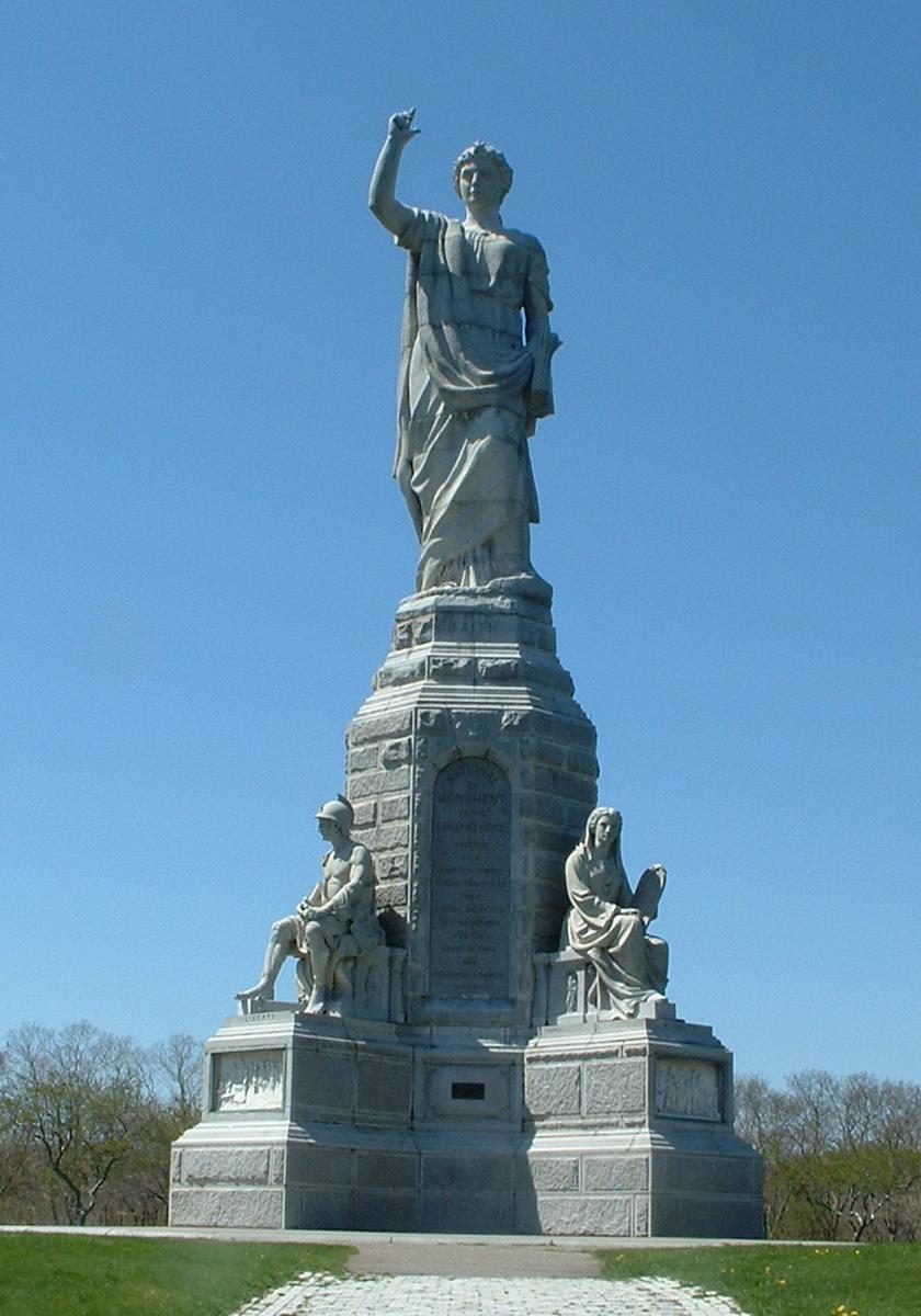 31 mi LandmarkNational Monument to the Forefathers
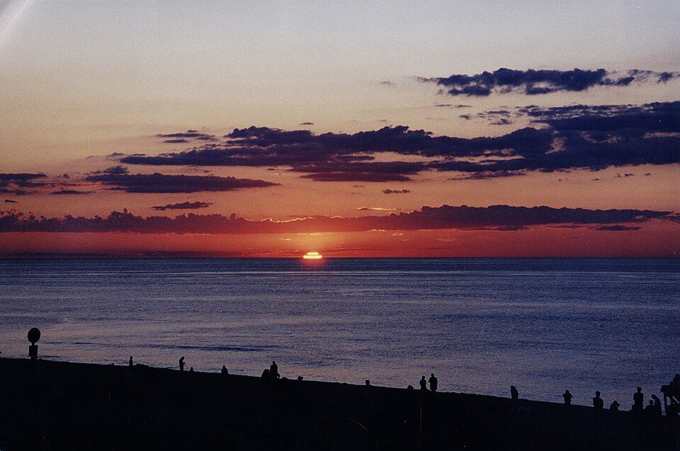 14 mi National SeashoreCape Cod National Seashore3.7M visitors a year
 4 mi MuseumElephant House
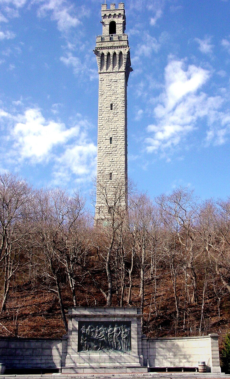 28 mi LandmarkPilgrim Monument
SS Pendleton: United States Coast Guard, Richard C. Kelsey, Public domain · Plimoth Patuxet: Tr!sie, CC BY-SA 3.0 · National Monument to the Forefathers: T.S. Custadio aka ToddC4176 at en.wikipedia, Public domain · Cape Cod National Seashore: SeduisantRedux, CC BY 3.0 · Elephant House: Nicole Leigh Martel, CC BY-SA 3.0 · Pilgrim Monument: Peter Whitlock (Transferred by adavyd/Originally uploaded by Willster3), CC BY-SA 3.0
West Yarmouth is unincorporated, so Barnstable County and regional agencies provide most services.
EPA SDWIS (Oct 9, 2026) · HIFLD + EIA-861 2025 · Census 2020 ZCTAs · NCES 2024–25 · registration: vote.gov, updated Nov 18, 2024.
Ordered by what stands out in West Yarmouth.
A bachelor’s degree or higher: nearly two in five adults 25 and older, vs 47% across Massachusetts. West Yarmouth’s age of the median resident comes in at 52.9 years. The share of residents in West Yarmouth who are under 18: 15%.
| West Yarmouth | Massachusetts towns | U.S. towns | |
|---|---|---|---|
| Median age | 52.9 years | 43.4 years | 40.5 years |
| Under 18 | 15% | 20% | 22% |
| Bachelor’s degree or more, 25+ | 39% | 47% | 29% |
56% women, 44% men
About 80 men for every 100 women (the survey’s margin: ±4.5 points). Across Massachusetts, 51.1% of residents are women.
| West Yarmouth | MA | U.S. | |
|---|---|---|---|
| Under 10 | 7.9% | 10.2% | 11.6% |
| 10 to 17 | 7.2% | 9.2% | 10.3% |
| 18 to 24 | 4.6% | 9.8% | 9.1% |
| 25 to 34 | 11.5% | 14% | 13.7% |
| 35 to 44 | 9.8% | 13% | 13.2% |
| 45 to 54 | 10.9% | 12.3% | 12.2% |
| 55 to 64 | 12.2% | 13.6% | 12.7% |
| 65 to 74 | 18.5% | 10.5% | 10.2% |
| 75 and older | 17.2% | 7.4% | 7% |
| No diploma | 7.1% | 8.6% | 10.4% |
| High school | 23.4% | 22.6% | 26% |
| Some college | 23.1% | 14.1% | 19.1% |
| Associate’s | 7.3% | 7.5% | 8.8% |
| Bachelor’s | 19.9% | 25.5% | 21.6% |
| Graduate | 19.3% | 21.8% | 14.1% |
U.S. Census Bureau · ACS 2020-2024 5-year estimates
For half of commuters, work is under 9 miles away. The median household income in West Yarmouth is $66,000. Just 6% of the town’s working residents have a job in town. The top destinations are Barnstable Town (25%), Yarmouth (17%) and Dennis (7%).
| West Yarmouth | Massachusetts towns | U.S. towns | |
|---|---|---|---|
| Median household income | $66,000 | $120,000 | $80,000 |
| Average trip to work | 25 minutes | 30 minutes | 25 minutes |
| Working residents who work in town | 5.8% | 9.8% | 8% |
| Below the poverty line | 9.1% | 6% | 9.6% |
Census LEHD 2023 · ACS
Across 11 parks and preserves: 27 miles of trail.
| Biggest places to walk | Trails | Acres |
|---|---|---|
| 1. Water Department Land | 5.5 mi | 211 |
| 2. Sandy Pond Recreation Area Park | 2.3 mi | 69 |
| 3. Parkers River Landing | 1.1 mi | 21 |
Trails & parks © OpenStreetMap contributors · Conserved land: USGS PAD-US
For West Yarmouth, the July high is 79°F.
NOAA U.S. Climate Normals, 1991–2020
West Yarmouth: 84% of adults had a checkup this year. CDC measures, 32 in all: West Yarmouth beats Massachusetts on 6 and trails on 7. In West Yarmouth, 14% of adults binge drink, and 37% have high blood pressure.
| West Yarmouth | Massachusetts towns | U.S. towns | |
|---|---|---|---|
| Yearly checkup (CDC PLACES) | 84% | 82% | 79% |
| Binge drink (CDC PLACES) | 14% | 17% | 16% |
| High blood pressure (CDC PLACES) | 37% | 32% | 35% |
| Obesity (CDC PLACES) | 27% | 28% | 35% |
| What stands out | West Yarmouth | MA |
|---|---|---|
| Fewer binge drinkers | 14.3% | 17% |
| More adults screened for colon cancer | 74.7% | 68.4% |
| More adults who have had cancer | 12% | 8.5% |
CDC PLACES 2025 · modeled estimates for adults · CMS · HRSA
The national flood insurance program has paid 95 claims in West Yarmouth since 1978. FEMA expects more storm and flood damage here than in 56% of U.S. communities. Of the losses FEMA expects here, 60% come from inland flooding and 19% from hurricanes.
FEMA flood insurance claims · FEMA National Risk Index · OpenFEMA
The rent at the middle of the market for West Yarmouth comes to $1,470 a month. On the market here: a median 24 days to sell. Sellers in West Yarmouth got 97.7% of the asking price, typically.
| West Yarmouth | Massachusetts towns | U.S. towns | |
|---|---|---|---|
| Median rent | $1,470 a month | $1,683 a month | $1,185 a month |
| Households that own their home | 77% | 79% | 73% |
Census ACS, 2020–24 · Zillow Home Value Index · Redfin Data Center
1 within 15 miles of the center of West Yarmouth
About 5 of every 100 West Yarmouth residents are enrolled in college, against 8 across Massachusetts.
Where West Yarmouth’s working residents go each day. Line width shows the share.
Census LEHD 2023
Census-designated place in Massachusetts, United States
West Yarmouth is a census-designated place (CDP) in the town of Yarmouth in Barnstable County, Massachusetts, United States. As of the 2020 census, West Yarmouth had a population of 6,278.
From Wikipedia, licensed CC BY-SA 4.0 · facts via Wikidata (CC0)
3 towns share a border with West Yarmouth.
| Town | MA rank | Overall | Cost | Safety | Schools | Health |
|---|---|---|---|---|---|---|
| West Yarmouth | — | — | — | — | — | — |
| South Yarmouth | — | — | — | — | — | — |
| Yarmouth | #241 | C | D | B− | C | A− |
| Barnstable Town | #244 | C | D | C+ | C− | A− |
West Yarmouth and South Yarmouth aren’t graded (fewer than 1,000 residents, or not enough data). Compare West Yarmouth with a neighbor →
Short answers, built from the data on this page.
We don’t grade West Yarmouth yet; the figures below are still real.


