Wellesley dates to 1660, and 34% of its homes were built before 1940
More historic than 90% of U.S. towns · #147 of 283 in Massachusetts. What drives it
9 places in town are on the National Register, among them two historic districts. Below: 16 old photos and papers, maps from 1886 on, and the census since 1890.
Founding year: Wikidata. First post office: 1830.The full story ↓
History grade
What drives Wellesley’s History grade
On its age, its old homes and the National Register, Wellesley is more historic than 90% of U.S. towns, #147 of 283 in Massachusetts. Its age holds the grade up; its National Register listings pull it down.
A
HistoryA character grade: shown, never part of Wellesley’s overall grade.
Massachusetts towns list more on the Register than most of the country (a typical Massachusetts town has 46.0 per 10,000 residents, the U.S. 2.4), so Wellesley’s 3.0 sits below most of its state (16% of Massachusetts towns have fewer) while its 9 listings outnumber those of 75% of U.S. towns.
NoteThe founding year comes from Wikidata alone; no second source gives 1660.
How sure. Graded on any two of the three inputs instead, the letter would range from A− to A+. The pre-1940 share (±2.8 points) is firm at this size.
Founding year: Wikidata (other dates in Quick answers). Homes: Census ACS 2020–24. National Register: National Park Service, May 2026 list; each listing counted once (boundary changes and added documentation belong to their listing), and a historic district counts its contributing buildings. How TownRatings grades history →
What stands out about Wellesley’s past
Read from the archive, the National Register and the record. The page puts what stands out first.
Wellesley was settled in the 1600s as part of Dedham, Massachusetts. It was subsequently a part of Needham, Massachusetts, called West Needham. On October 23, 1880, West Needham residents voted to secede from Needham, and the town of Wellesley was later christened by the Massachusetts legislature on April 6, 1881. The town was named after the estate "Wellesley" of local benefactor Horatio Hollis Hunnewell.
Wellesley's population grew by over 80 percent around the 1920s.
Passages that mention Wellesley, cut from the printed page as they were published.
History of the town of Wellesley, Massachusetts1917 · page 26Read the page →
Read the text
The Wellesley Farms station, built in 1890, in the northeasterlypart of the "Hundreds" was formerly merely a spot at which to flag a train. The first station, Rice's Crossing, was north of the bridge, instead of south. North Needham, Grantville, for a few months Nehoiden, but Wellesley Hills since 1881, and West Needham, Wellesley since 1863, are the other two stations on the main line.
Text read by machine from the scan; it may contain errors.
History of the town of Wellesley, Massachusetts1917 · page 3Read the page →
Read the text
The history of the town of Wellesley is necessarily brief as the town was incorporated as late as April 6, 1881. It was, until that time, a part of the town of Needham (incorporated in 1711), and previous to that its territory was included within the limits of Dedham.
Text read by machine from the scan; it may contain errors.
History of Norfolk County, Massachusetts, 1622-19181918Read the page →
Read the text
TOWN HALL In the division of Needham and the erection of the Town of Wellesley, the town hall that had been used for many years by Needham fell within the limits of the new town. Its location was not convenient for the Town of Wellesley, and besides it was an old building that had "outlived its usefulness." Hollis H.
Text read by machine from the scan; it may contain errors.
History of Norfolk County, Massachusetts, with biographical sketches of many of its pioneers and prominent men1884 · page 480Read the page →
Read the text
The “ Hundreds,” already become the fashionable location for residences, was named from the amount of land in the divisions of the country, including the present village of Wellesley Hills, the tract of woodland now known as the Hundreds, the school-farm of Dedham, and Needham Leg, about three thousand five hundred acres in all. What is now the village of Wellesley Hills was included almost wholly in the
Text read by machine from the scan; it may contain errors.
Scans and text from the Internet Archive. Books published in 1930 or earlier, which are in the public domain.
By decade
Wellesley, decade by decade
3 decades in the archive, from the 1850s to the 1900s. Scroll each row; tap a photo for its story.
Nothing in the archives for these yearsWeddings on Main Street, storms, parades, school pictures, the old store. If it’s in your family album, it belongs here.
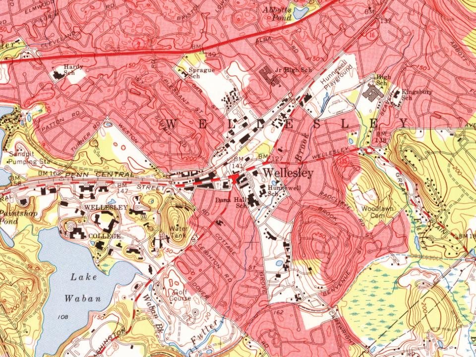
Fire insurance maps drew every building, what it was made of and what it was used for, so insurers could price the risk of fire. Pick a year, then a sheet.
In 1660, according to Wikidata. Wellesley’s post office opened in 1830, and the census of 1890 counted 3,600 people here.
How does Wellesley rank for history?
Wellesley is more historic than 90% of U.S. towns, #147 of 283 in Massachusetts. The History grade combines the town’s founding era, the share of homes built before 1940 and its National Register listings. It’s a character grade, so it isn’t part of the overall grade. How it works.
What is on the National Register in Wellesley?
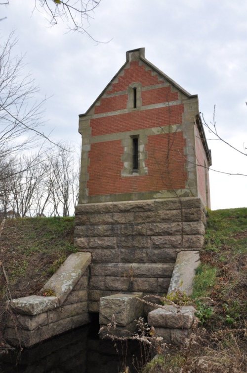
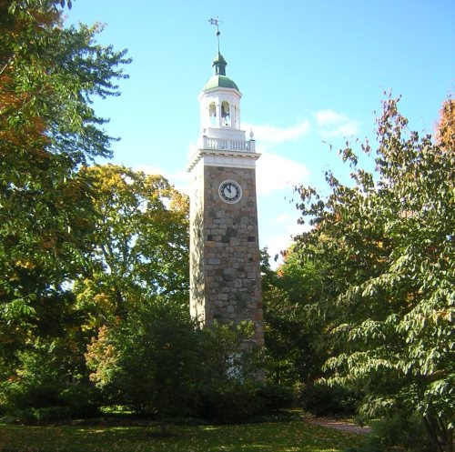
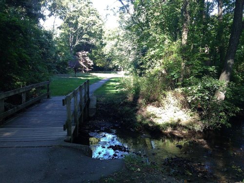
9 listings: 5 buildings, among them the Wellesley Town Hall (listed 1976, the first), 2 historic districts, the Sudbury Aqueduct Linear District and the Fuller Brook Park,, and 2 sites.
How old are the homes in Wellesley?
34% of Wellesley’s homes were built before 1940 (Census estimate, ±2.8 points), against a typical 21% for a Massachusetts town; the median home was built in 1955.
Founding dates: Wikidata, Wikipedia, the U.S. post office records of Blevins & Helbock (CC0) and the Census. Homes by year built: Census ACS 2020–24. National Register of Historic Places: National Park Service (list of May 22, 2026). Old photos, postcards and papers: Wikimedia Commons, the Library of Congress and other public archives, credited on each item’s page. Maps: U.S. Geological Survey historical topographic maps (via Esri) and Sanborn fire-insurance maps (Library of Congress). History text and census tables: Wikipedia (CC BY-SA 4.0). Places that used to be: USGS Geographic Names Information System (2021).
From Wikimedia Commons (8), the Library of Congress (8), Wikidata (2), the National Register of Historic Places (9), Wikipedia, Wikidata and Wikipedia for famous people, U.S. Geological Survey historical maps, U.S. Census counts (via Wikipedia), the US Post Offices dataset (Blevins & Helbock), the USGS Geographic Names Information System, Sanborn fire insurance maps (Library of Congress) and old county and town histories (Internet Archive). Archive images are copied here with their credits and licenses, shown on each photo’s page. Refreshed monthly.




 1891
 1903
 1905
 1905
 1905
 1905
![Wellesley College and Lake Waban, Massachusetts]](https://images.townratings.com/story/24059/e0629f1137d2b63ccd82-s.jpg) 1906
 1907–1915
 1907–1915
 1907–1915
 1908
 1908
 1908