366 years in pictures
Census counts: 3,600 in 1890, 29,550 in 2020. The archive holds 18 old photos and papers going back to 1830 and 7 maps from 1886 on.
9 places on the National Register of Historic Places.
- 1660Wellesley is settled
Each edition grades its towns against each other only.

Wellesley is one of the best-graded places in America: an A+, 14th among Massachusetts's 282 graded towns. On CDC health estimates it is near the top nationally, its schools rank ahead of 95% of Massachusetts towns, and the median household earns $250K. The exception is cost of living: homes are expensive, about $2.0 million for a typical one and 17.3 times the Boston metro’s $116K median household income. 89% of adults 25 and older hold a bachelor’s degree or more in Wellesley, where Massachusetts’ towns sit at 47% and U.S. towns at 29%. Wellesley is easier to get around on foot or by transit than 97% of U.S. towns. Wellesley is home to Babson College.
Where Wellesley beats most towns.
Wellesley Town Hall| Widest gap | Wellesley | MA |
|---|---|---|
| Fewer older adults who have lost all their teeth | 4.6% | 11.9% |
Census counts: 3,600 in 1890, 29,550 in 2020. The archive holds 18 old photos and papers going back to 1830 and 7 maps from 1886 on.
9 places on the National Register of Historic Places.
Each subject compared with towns across the country (schools within Massachusetts), ordered by how far Wellesley is from typical.
How TownRatings grades towns →
Museums, parks, gardens and other places to visit around Wellesley. Close and well known come first.
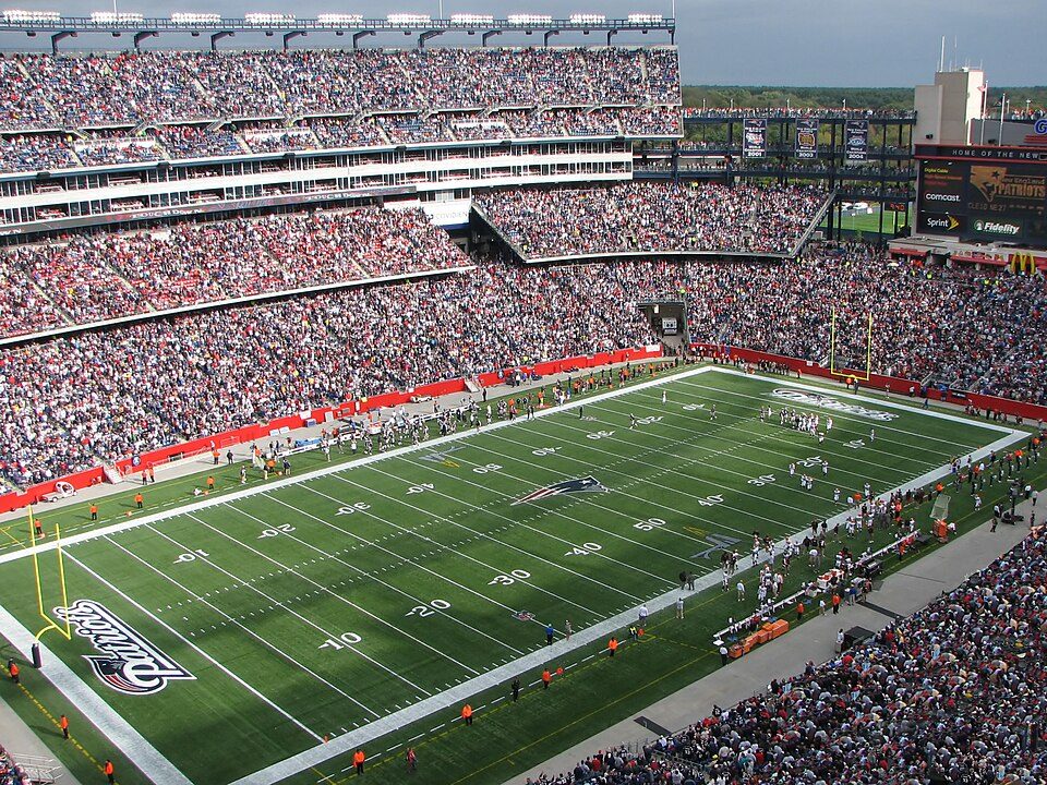
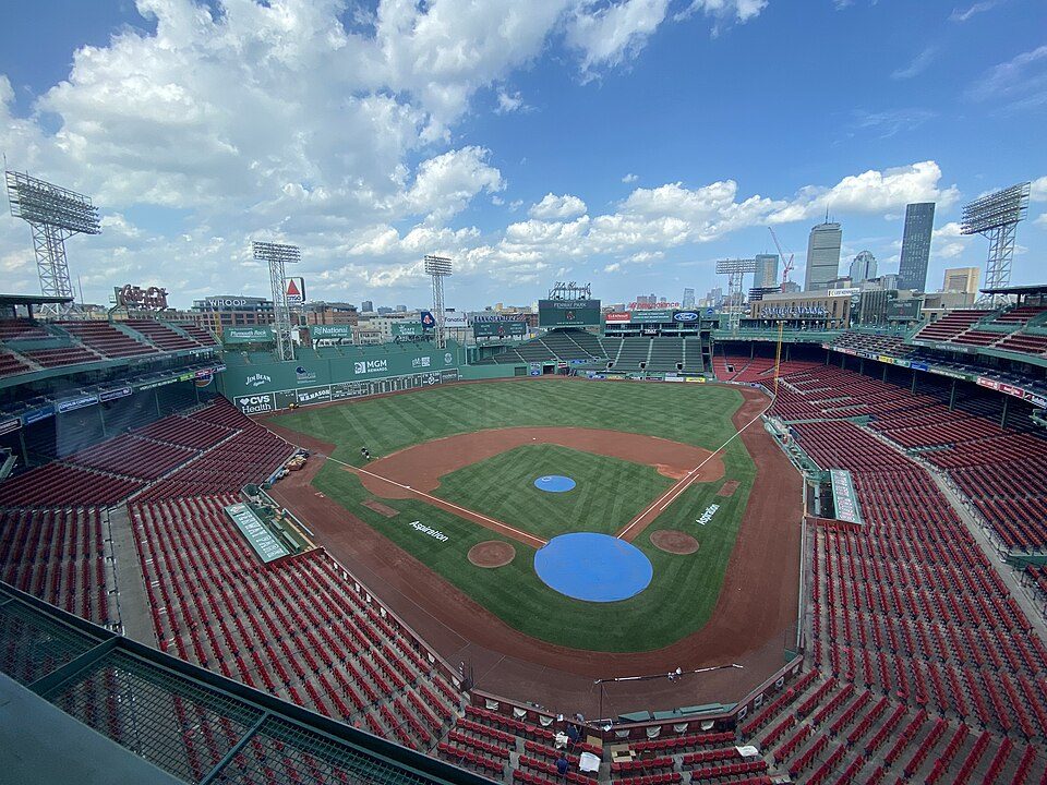
Big draw10 mi Stadium & arenaFenway Park
Big draw15 mi Stadium & arenaGillette Stadium
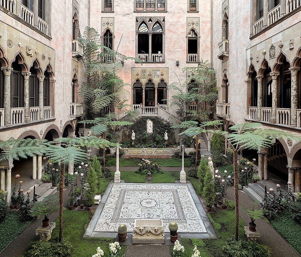
Big draw10 mi MuseumIsabella Stewart Gardner Museum
Big draw34 mi LakeLake Chaubunagungamaug
10 mi LakeWalden Pond
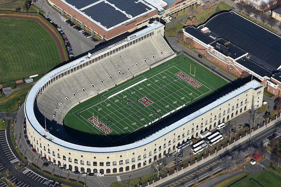
9 mi Stadium & arenaHarvard StadiumFenway Park: Gatorfan252525, CC BY-SA 4.0 · Gillette Stadium: Bernard Gagnon, CC BY-SA 3.0 · Isabella Stewart Gardner Museum: Sean Dungan, CC BY-SA 4.0 · Lake Chaubunagungamaug: Bree from Worcester, MA, USA, CC BY-SA 2.0 · Walden Pond: Victorgrigas, CC BY-SA 3.0 · Harvard Stadium: Nick Allen, CC BY-SA 4.0
Who provides power, water and the rest in Wellesley, and how to reach them.
EPA SDWIS (Oct 9, 2026) · HIFLD + EIA-861 2025 · Census 2020 ZCTAs · NCES 2024–25 · registration: vote.gov, updated Nov 18, 2024.
Ordered by what stands out in Wellesley.
Wellesley has schools in the top 5% of Massachusetts, reports less crime than Weston or any other graded neighbor and draws workers from Boston and beyond.
At 17.3 years of the Boston metro’s $116K median household income, the typical home (about $2.01M) costs more against local pay than in 99% of Massachusetts towns; that ratio is one input to its D for cost of living.
The median rent in Wellesley is $2,886 a month. Typical home values rose 5.2% in the year to September 2026. 84% of Wellesley households own their home.
| Wellesley | Massachusetts towns | U.S. towns | |
|---|---|---|---|
| Median rent | $2,886 a month | $1,682 a month | $1,185 a month |
| Households that own their home | 84% | 79% | 73% |
Census ACS, 2020–24 · Zillow Home Value Index · Redfin Data Center
Its A+ ranks #11 of the 283 Massachusetts towns we grade for schools. Its A+ for schools comes with a D for cost of living: the typical home is worth about $2.01M.
Its public schools are run by the Wellesley school district. Three of its 14 schools are below, each with why it’s listed.
| School | Level | Students | Letter |
|---|---|---|---|
| Wellesley MiddleLargest public middle schoolGrades 6–8 | Grades 6–8 | 919 | A− |
| Wellesley Sr HighLargest public high schoolGrades 9–12 | Grades 9–12 | 1,262 | A+ |
| HunnewellTop results in townGrades K–5 | Grades K–5 | 294 | A+ |
NCES · EDFacts · graded within MA on state tests and graduation
41 miles of trail in 56 parks and preserves. Wellesley’s trail density is 3.9 miles per square mile. Wellesley Town Forest, at 129 acres with 4.3 miles of trail, is the biggest park or preserve.
| Biggest places to walk | Trails | Acres |
|---|---|---|
| 1. Wellesley Town Forest | 4.3 mi | 129 |
| 2. Centennial Reservation | 2.9 mi | 80 |
| 3. Sudbury Aqueduct Trail | 2.5 mi | 36 |
Trails & parks © OpenStreetMap contributors · Conserved land: USGS PAD-US
Its widest gap with Massachusetts is tooth loss: 4.6% of those 65+ have lost all their teeth, against 11.9% statewide. Against the 436 U.S. towns with household incomes like Wellesley’s, it is healthier than 81%, a smaller edge than it has nationally: part of it comes with its incomes.
20% of adults have obesity in Wellesley. Among 279 Massachusetts towns, just 5 have a lower share of adults who have diabetes than Wellesley. 27% of adults have high blood pressure in Wellesley.
| Wellesley | Massachusetts towns | U.S. towns | |
|---|---|---|---|
| Obesity (CDC PLACES) | 20% | 28% | 35% |
| Smoke cigarettes (CDC PLACES) | 6.2% | 11% | 14% |
| Frequent physical distress (CDC PLACES) | 9.2% | 12% | 14% |
| Get no exercise (CDC PLACES) | 14% | 19% | 25% |
| What stands out | Wellesley | MA |
|---|---|---|
| Fewer older adults who have lost all their teeth | 4.6% | 11.9% |
| Fewer uninsured adults | 2.5% | 5.2% |
CDC PLACES 2025 · modeled estimates for adults · CMS · HRSA
17,455 jobs are based in Wellesley, 1.5 for every working resident, so most of the people who work here commute in. 32% of workers work from home, against 18.6% across Massachusetts.
Most working residents leave Wellesley for work: only 12% work in town. Only 4 of the 283 Massachusetts towns we compare have a higher median household income than Wellesley. Since 2013, Wellesley has added 1,203 jobs, to 17,455 in 2023.
| Wellesley | Massachusetts towns | U.S. towns | |
|---|---|---|---|
| Work from home | 32% | 18% | 11% |
| Median household income | $250,000 | $120,000 | $80,000 |
| Below the poverty line | 4% | 6% | 9.6% |
| Average trip to work | 27 minutes | 30 minutes | 25 minutes |
Census LEHD 2023 · ACS
Its A tops all 5 graded towns on its borders; Weston (A) comes closest. Violent crime is rare: 16 reported in 2025, 0.5 per 1,000 residents.
FBI crime data, 2025 · crimes reported to police
Expected storm and flood damage is lower than in 79% of U.S. communities. Since 1979, 36 flood insurance claims have been paid out in Wellesley.
FEMA flood insurance claims · FEMA National Risk Index · OpenFEMA
Wellesley has chilly, snowy winters and warm summers, with plenty of rain. July afternoons reach 84°, January nights drop to 18° and about 46 inches of snow falls in a winter.
NOAA U.S. Climate Normals, 1991–2020
51 within 15 miles of the center of Wellesley
College town 18 of every 100 Wellesley residents are enrolled in college, against 8 across Massachusetts.
3 colleges in town.
9 places in Wellesley on the National Register of Historic Places.
19 notable people were born in Wellesley.


Town in Massachusetts, United States
Wellesley () is a town in Norfolk County, Massachusetts, United States. Wellesley is part of the Greater Boston metropolitan area. The population was 29,550 at the time of the 2020 census. Wellesley College, Babson College, and a campus of Massachusetts Bay Community College are located in the town.
From Wikipedia, licensed CC BY-SA 4.0 · facts via Wikidata (CC0)
5 towns share a border with Wellesley.
At #14 in MA, it grades higher overall than all 5 graded towns on its borders; Weston (A+) comes closest.
Short answers, built from the data on this page.
Yes, by almost any measure. Wellesley grades A+ overall, among the top 2% of U.S. towns and #14 of 282 in Massachusetts. It grades A+ for health, A for safety and A+ for schools. Cost of living is its weak spot, with a D.
Yes. Cost of living, which also weighs rents, property taxes and how many households pay 30% or more of their income for housing, grades D.
19 notable people were born here, including Jay Harrington and Richard Armitage.