Stockbridge dates to 1734, and 33% of its homes were built before 1940
Among the most historic 1% of U.S. towns. What drives it
13 places in town are on the National Register, among them 3 National Historic Landmarks and eight historic districts with 207 buildings between them. Below: 17 old photos and papers, maps from 1888 on, and the census since 1790.
Founding year: Wikidata; Wikipedia’s history section gives the same year. First post office: 1792.The full story ↓
History grade
What drives Stockbridge’s History grade
On its age, its old homes and the National Register, Stockbridge is among the most historic 1% of U.S. towns. All 3 inputs put Stockbridge near the top nationally; its age ranks highest.
A+
HistoryA character grade: shown, never part of Stockbridge’s overall grade.
Massachusetts towns list more on the Register than most of the country (a typical Massachusetts town has 46.0 per 10,000 residents, the U.S. 2.4), so Stockbridge’s 1,070 sits above most of its state (98% of Massachusetts towns have fewer) while its 220 historic buildings outnumber those of 94% of U.S. towns.
How sure. Graded on any two of the three inputs instead, the letter would still be A+. The pre-1940 share is a Census survey estimate (±8.5 points). Two sources give 1734.
Founding year: Wikidata (other dates in Quick answers). Homes: Census ACS 2020–24. National Register: National Park Service, May 2026 list; each listing counted once (boundary changes and added documentation belong to their listing), and a historic district counts its contributing buildings. How TownRatings grades history →
What stands out about Stockbridge’s past
Read from the archive, the National Register and the record. The page puts what stands out first.
The country’s official list of buildings and places worth saving. 3 are National Historic Landmarks, the highest tier. Boundary changes and added documentation are counted with their listing.
Stockbridge was settled by British missionaries in 1734, who established it as a praying town for the Stockbridge Indians, an indigenous Mohican tribe. The township was set aside for the tribe by Massachusetts colonists as a reward for their assistance against the French in the French and Indian Wars. The Rev. John Sergeant, from Newark, New Jersey, was their first missionary. Sergeant was succeeded in this post by Jonathan Edwards, a Christian theologian associated with the First Great Awakening.
Passages that mention Stockbridge, cut from the printed page as they were published.
The history of Pittsfield, (Berkshire County,) Massachusetts ... comp. and written, under the general direction of a committee1869 · page 556Read the page →
Read the text
The Stockbridge and Pittsfield railroad is the terminal link at the north of the chain of railroads commonly known as the Housatonic. In 1842 — nearly simultaneously with the opening of the Housatonic railroad proper, which extends from Bridgeport to the north line of Connecticut at Canaan — an extension of that road, under the name of the Berkshire, was made through ShefiSeld, Great Barrington, and the village of Van Deusenville in Stockbridge to West Stockbridge. In 1842, it received, from the
Text read by machine from the scan; it may contain errors.
The history of Pittsfield, (Berkshire County,) Massachusetts ... comp. and written, under the general direction of a committee1869 · page 536Read the page →
Read the text
The first action in favor of this route was taken by a meeting held at West Stockbridge, January 31, 1828; the citizens of Hudson having just before sent delegates to the Berkshire towns principally interested. This meeting was fully attended by leading citizens of Berkshire and Columbia counties, who resolved to present a joint petition to the legislatures of New York and Massachusetts, for the incorporation of a railroad from Hudson to West Stockbridge, and— there dividing— through Richmond to
Text read by machine from the scan; it may contain errors.
History of Great Barrington, (Berkshire County,) Massachusetts1882 · page 137Read the page →
Read the text
A little after midnight, on the morning of the 22d of November, 1745, the town was thrown into a great excitement by a report, said to be brought by two young men who had fled from Stockbridge — that "Stockbridge was beset and taken" by Indians; the citizens were soon after, in some degree, quieted by a contradiction of the rumor as to the taking of Stockbridge, but the belief remained, and was strengthened by the
Text read by machine from the scan; it may contain errors.
History of Great Barrington, (Berkshire County,) Massachusetts1882 · page 28Read the page →
Read the text
lands lying adjacent to Sheffield, Tapper Honsatonic and Stockbridge, and fm-ther, to make to tlie proprietors above the mountain, equivalents in unappropriated lands of the province, in different places. In April the committee laid out the township to the Indians — six miles square, embracing the present towns of Stockbridge and "West Stockbridge the grant of which was regularly confirmed to them by the General Court in
Text read by machine from the scan; it may contain errors.
Scans and text from the Internet Archive. Books published in 1930 or earlier, which are in the public domain.
Timeline
Stockbridge, 1734 to 2007
Woven from the archive, old maps, post office records, the National Register and the people born here.
Nothing in the archives for these yearsWeddings on Main Street, storms, parades, school pictures, the old store. If it’s in your family album, it belongs here.
Every edition of the U.S. Geological Survey’s map of Stockbridge. Tap a year, or press play to watch the town change.
1888Pittsfield sheet · 1:62,500
U.S. Geological Survey historical topographic maps (public domain), via Esri’s collection of the scans. The red ring marks the center of Stockbridge.
Every building
Stockbridge, building by building, 1898–1911
Fire insurance maps drew every building, what it was made of and what it was used for, so insurers could price the risk of fire. Pick a year, then a sheet.
In 1734, according to Wikidata and Wikipedia’s history of the town. Stockbridge’s post office opened in 1792, and the first U.S. census counted 1,336 people here in 1790.
How does Stockbridge rank for history?
Stockbridge is among the most historic 1% of U.S. towns. The History grade combines the town’s founding era, the share of homes built before 1940 and its National Register listings. It’s a character grade, so it isn’t part of the overall grade. How it works.
What is on the National Register in Stockbridge?
13 listings, 3 of them National Historic Landmarks: 6 buildings and 8 historic districts with 207 contributing buildings. 220 historic buildings in all.
How old are the homes in Stockbridge?
33% of Stockbridge’s homes were built before 1940 (Census estimate, ±8.5 points), against a typical 21% for a Massachusetts town; the median home was built in 1958.
Founding dates: Wikidata, Wikipedia, the U.S. post office records of Blevins & Helbock (CC0) and the Census. Homes by year built: Census ACS 2020–24. National Register of Historic Places: National Park Service (list of May 22, 2026). Old photos, postcards and papers: Wikimedia Commons, the Library of Congress and other public archives, credited on each item’s page. Maps: U.S. Geological Survey historical topographic maps (via Esri) and Sanborn fire-insurance maps (Library of Congress). History text and census tables: Wikipedia (CC BY-SA 4.0). Places that used to be: USGS Geographic Names Information System (2021).
From Wikimedia Commons (10), the Library of Congress (7), Wikidata (1), the National Register of Historic Places (14), Wikipedia, Wikidata and Wikipedia for famous people, U.S. Geological Survey historical maps, U.S. Census counts (via Wikipedia), the US Post Offices dataset (Blevins & Helbock), the USGS Geographic Names Information System, Sanborn fire insurance maps (Library of Congress) and old county and town histories (Internet Archive). Archive images are copied here with their credits and licenses, shown on each photo’s page. Refreshed monthly.
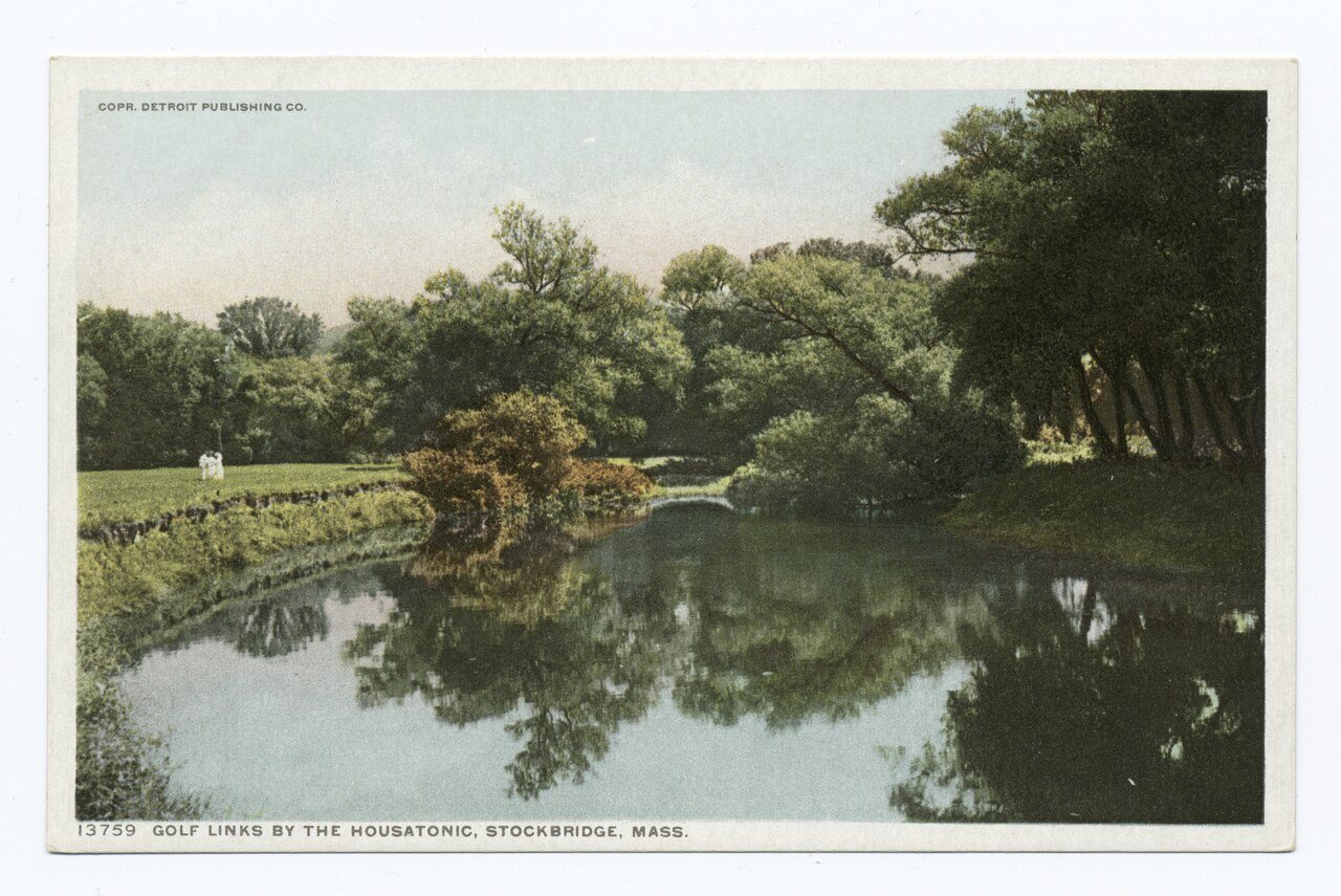


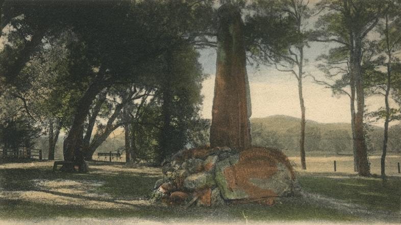

 ★ Landmark
 ★ Landmark
 ★ Landmark



 1870
 1898
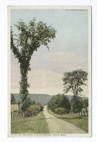 1898
 1898
 1898
 1898
 1900
 1900
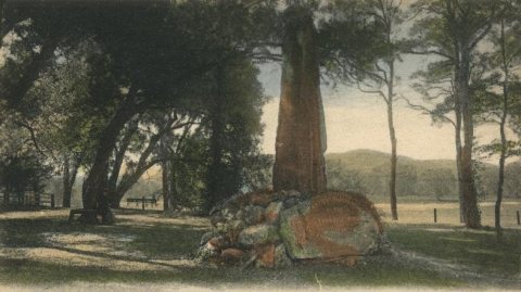 1905
 1905
 1905
 1905
 1905


