388 years in pictures
Census counts: 491 in 1790, 13,000 in 2020. The archive holds 14 old photos and papers going back to 1907 and 8 maps from 1886 on.
3 places on the National Register of Historic Places.
- 1638Lynnfield is settled
Each edition grades its towns against each other only.

For most people who can afford it, yes. Lynnfield grades A overall, ranked 64th of 282 in Massachusetts. It has 19 miles of trail and 27% conserved land. Residents are healthier than 96% of U.S. towns on CDC estimates and the median household earns $175K. The catch is cost: homes are expensive, about $1.1 million for a typical one and 9.4 times the Boston metro’s $116K median household income. Lynnfield’s median rent is $2,676 a month, against $1,682 a month in Massachusetts’ towns and $1,185 a month across U.S. towns. Its National Register listings include Hart House and Henfield House. Among 283 Massachusetts towns, just 6 have a higher share of children under 18 than Lynnfield.
Where Lynnfield beats most towns.
Census counts: 491 in 1790, 13,000 in 2020. The archive holds 14 old photos and papers going back to 1907 and 8 maps from 1886 on.
3 places on the National Register of Historic Places.
Each subject compared with towns across the country (schools within Massachusetts), ordered by how far Lynnfield is from typical.
How TownRatings grades towns →
Museums, parks, gardens and other places to visit around Lynnfield. Close and well known come first.
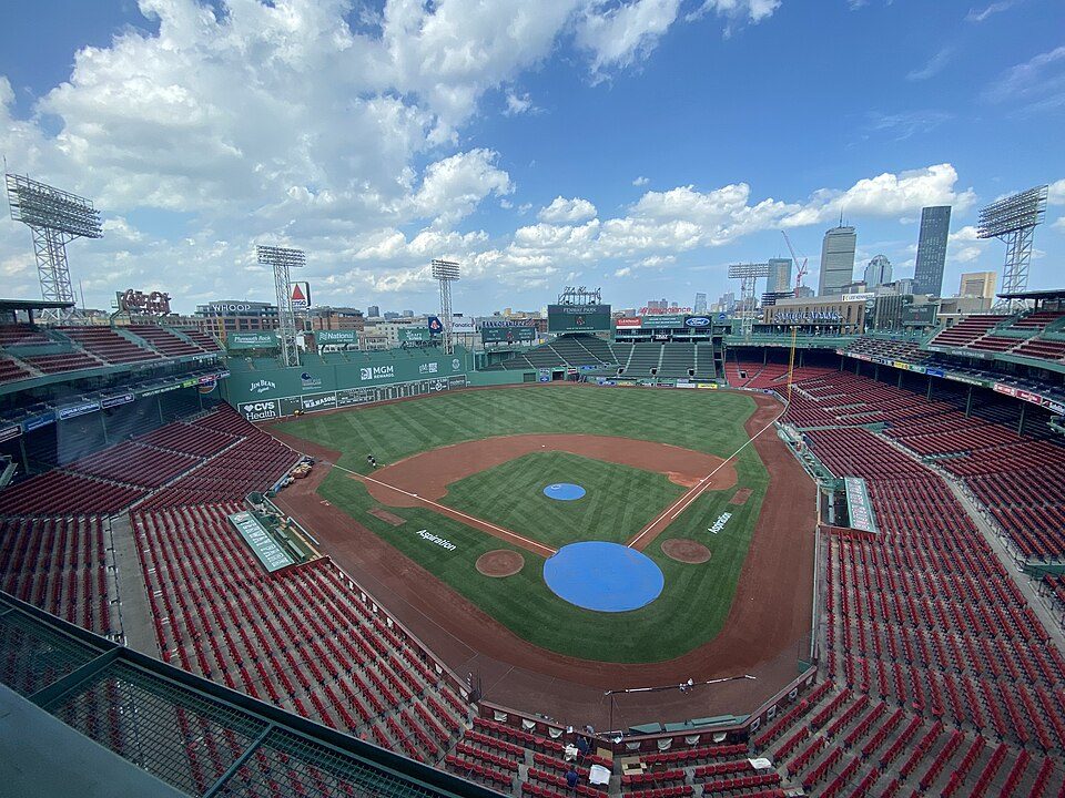
Big draw13 mi Stadium & arenaFenway Park
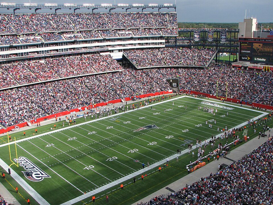
Big draw33 mi Stadium & arenaGillette Stadium
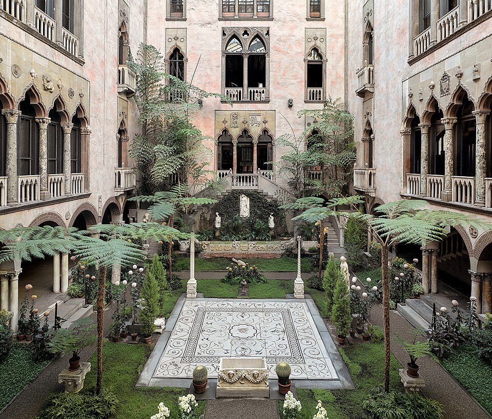
Big draw14 mi MuseumIsabella Stewart Gardner Museum
12 mi AttractionFreedom Trail
17 mi LakeWalden Pond
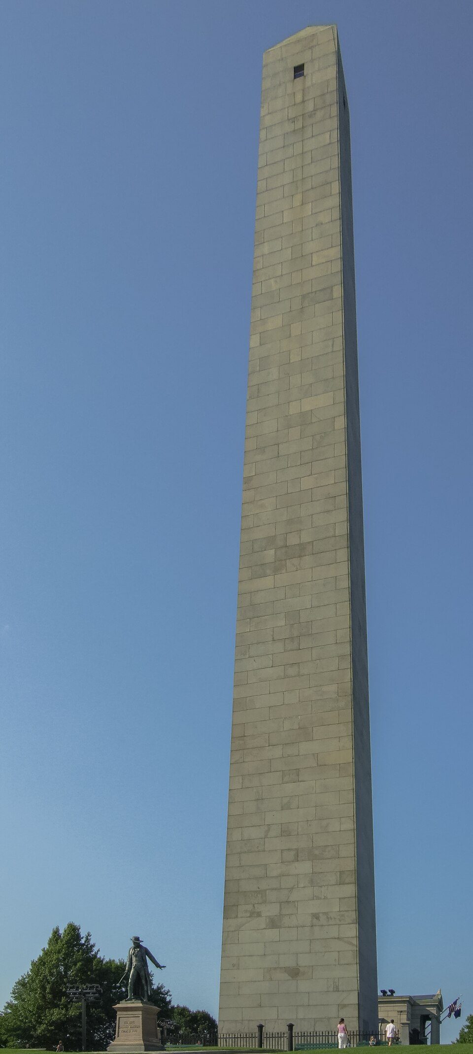
11 mi MuseumBunker Hill MonumentFenway Park: Gatorfan252525, CC BY-SA 4.0 · Gillette Stadium: Bernard Gagnon, CC BY-SA 3.0 · Isabella Stewart Gardner Museum: Sean Dungan, CC BY-SA 4.0 · Freedom Trail: Ingfbruno, CC BY-SA 3.0 · Walden Pond: Victorgrigas, CC BY-SA 3.0 · Bunker Hill Monument: Diego Delso, CC BY-SA 4.0
Who provides power, water and the rest in Lynnfield, and how to reach them.
EPA SDWIS (Oct 9, 2026) · HIFLD + EIA-861 2025 · Census 2020 ZCTAs · NCES 2024–25 · registration: vote.gov, updated Nov 18, 2024.
Ordered by what stands out in Lynnfield.
Lynnfield trades workers with Boston and other neighbors and is safe by national standards but not by Massachusetts’s; it also has homes that cost more against local pay than most of Massachusetts.
At 9.4 years of the Boston metro’s $116K median household income, the typical home (about $1.09M) costs more against local pay than in 89% of Massachusetts towns; that ratio is one input to its D for cost of living. Its typical home is the priciest on its borders; Reading is next at $910K.
87% of households own their home in Lynnfield. The typical Lynnfield home is worth about $1,089,000, up 2.2% in a year, 66% above the Massachusetts typical home.
Census ACS, 2020–24 · Zillow Home Value Index · Redfin Data Center
Its A for schools comes with a D for cost of living: the typical home is worth about $1.09M.
Its public schools are run by the Lynnfield school district. Three of its 6 schools are below, each with why it’s listed. The largest public high school is Lynnfield High, with 588 students.
| School | Level | Students | Letter |
|---|---|---|---|
| Lynnfield Middle SchoolLargest public middle schoolGrades 5–8 | Grades 5–8 | 698 | A− |
| Lynnfield HighLargest public high schoolGrades 9–12 | Grades 9–12 | 588 | A+ |
| Huckleberry HillTop results in townGrades K–4 | Grades K–4 | 416 | A |
NCES · EDFacts · graded within MA on state tests and graduation
Its widest gap with Massachusetts is no health insurance: 2.7% of those 18–64 have no health insurance, against 5.2% statewide. Against the 1,526 U.S. towns with household incomes like Lynnfield’s, it is healthier than 66%, a smaller edge than it has nationally: part of it comes with its incomes.
13% of Lynnfield adults report frequent mental distress. Lynnfield beats the Massachusetts average on 14 of 32 CDC measures and trails it on 1. 29% of Lynnfield adults feel lonely.
| Lynnfield | Massachusetts towns | U.S. towns | |
|---|---|---|---|
| Frequent mental distress (CDC PLACES) | 13% | 16% | 17% |
| Feel lonely (CDC PLACES) | 29% | 33% | 33% |
| Smoke cigarettes (CDC PLACES) | 8.6% | 11% | 14% |
| Obesity (CDC PLACES) | 26% | 28% | 35% |
| What stands out | Lynnfield | MA |
|---|---|---|
| Fewer uninsured adults | 2.7% | 5.2% |
| Fewer adults facing food insecurity | 7.1% | 12.4% |
| More adults who have had cancer | 10.7% | 8.5% |
CDC PLACES 2025 · modeled estimates for adults · CMS · HRSA
19 miles of trail in 24 parks and preserves. Lynnfield’s trail density is 1.8 miles per square mile. The biggest place to walk is Willis Woods, 553 acres with 6.2 miles of trail.
| Biggest places to walk | Trails | Acres |
|---|---|---|
| 1. Willis Woods | 6.2 mi | 553 |
| 2. Lynn Woods Reservation | 2.7 mi | 86 |
| 3. Bow Ridge Conservation Area | 2.3 mi | 68 |
Trails & parks © OpenStreetMap contributors · Conserved land: USGS PAD-US
Expected storm and flood damage is lower than in 85% of U.S. communities. Since 1979, 28 flood insurance claims have been paid out in Lynnfield.
FEMA flood insurance claims · FEMA National Risk Index · OpenFEMA
At 11.2 crimes per 1,000 residents a year, it reports less crime than 52% of Massachusetts’s graded towns. Reported crimes fell from 109 to 82 over the last three FBI years, a drop beyond ordinary year-to-year swings.
The violent crime rate in Lynnfield is 0.7 per 1,000 residents.
| Lynnfield | Massachusetts towns | U.S. towns | |
|---|---|---|---|
| Violent crimes per 1,000 (2025) | 0.7 per 1,000 residents | 1.5 | 1.6 |
| Property crimes per 1,000 (2025) | 5.5 per 1,000 residents | 4.9 | 9.9 |
FBI crime data, 2025 · crimes reported to police
Lynnfield has chilly, snowy winters and pleasant summers, with plenty of rain. July afternoons reach 83°, January nights drop to 18° and about 64 inches of snow falls in a winter.
NOAA U.S. Climate Normals, 1991–2020
Lynnfield has about as many jobs (5,781) as working residents, but only 418 people both live and work here. 27.4% of workers work from home, against 18.6% across Massachusetts.
Most working residents leave Lynnfield for work: only 7% work in town. Since 2013, Lynnfield has added 1,245 jobs, to 5,781 in 2023. The top destinations are Boston (23%), Woburn (4%) and Peabody (3%).
| Lynnfield | Massachusetts towns | U.S. towns | |
|---|---|---|---|
| Median household income | $175,000 | $120,000 | $80,000 |
| Average trip to work | 32 minutes | 30 minutes | 25 minutes |
| Below the poverty line | 6% | 6% | 9.6% |
| Working residents who work in town | 7.2% | 9.9% | 8% |
Census LEHD 2023 · ACS
41 within 15 miles of the center of Lynnfield
About 3 of every 100 Lynnfield residents are enrolled in college, against 8 across Massachusetts.
11,596 counted in 2010 and 13,000 in 2020; an estimated 13,274 in 2025.
U.S. Census 2010 & 2020 counts · Census Bureau estimate, July 1, 2025
3 places in Lynnfield on the National Register of Historic Places.
6 notable people were born in Lynnfield.


Town in Massachusetts, United States
Lynnfield is a town in Essex County, Massachusetts, United States. At the 2020 census, the town population was 13,000. Lynnfield initially consisted of two distinct villages with a single governing body. Lynnfield Center had a mostly agricultural population, while South Lynnfield had a mixed culture. Together, the two towns evolved into one of the most prosperous suburbs in the North Shore region of Massachusetts.
From Wikipedia, licensed CC BY-SA 4.0 · facts via Wikidata (CC0)
7 towns share a border with Lynnfield.
Short answers, built from the data on this page.
For most people who can afford it, yes. Lynnfield grades A overall, better than 91% of U.S. towns and #64 of 282 in Massachusetts. It grades A+ for health, B+ for safety and A for schools. Cost of living is its weak spot, with a D.
Yes. Cost of living, which also weighs rents, property taxes and how many households pay 30% or more of their income for housing, grades D.
6 notable people were born here, including Brian Flynn and Brian O'Connor.