
Freedom Trail
The Freedom Trail is a 2.5-mile-long (4.0 km) path through Boston, Massachusetts, that passes by 16 locations significant to the history of the United States. This is one of the sights of Boston. It is managed by Freedom Trail Foundation.

An attraction inside Boston
You can stay in Boston
Freedom Trail is inside Boston, which has 199 places to stay, so you won’t need a base farther out. Where to stay ↓
Best months: May, Jun, Jul, Aug, Sep and Oct
May, June, July, August, September and October are the mild months, with highs of 62–82°. When to go ↓
An airport 2 miles away
Boston Logan (BOS) has airline service, about 2 miles from Freedom Trail.
Established in 1951
Freedom Trail dates from 1951 and is run by Freedom Trail Foundation. About ↓
Written from NOAA 1991–2020 normals, Overture places to stay, Census town figures, Wikidata and Wikipedia.
When to go
Every month near Freedom Trail is set out below.
Freedom Trail
The Freedom Trail is a 2.5-mile-long (4.0 km) path through Boston, Massachusetts, that passes by 16 locations significant to the history of the United States. It winds from Boston Common in downtown Boston to the Old North Church in the North End and the Bunker Hill Monument in Charlestown. Stops along the trail include simple explanatory ground markers, graveyards, notable churches and buildings, and a historic naval frigate. Most of the sites are free or suggest donations, although the Old South Meeting House, the Old State House, and the Paul Revere House charge admission. The Freedom Trail is overseen by the City of Boston's Freedom Trail Commission and is supported in part by grants from various non-profit organizations and foundations, private philanthropy, and Boston National Historical Park.
- Type
- Attraction
- Established
- 1951
- Run by
- Freedom Trail Foundation
- Wikipedia readers
- 62K a year
Towns to stay in near Freedom Trail
Rooms are nearest in Boston (199) and Cambridge (30).
- 1Fenway Park
- 2Isabella Stewart Gardner Museum
- 3Gillette Stadium
- 4Boston Common
- 5Bunker Hill Monument
- 6Museum of Fine Arts Boston
- 7Old State House
- 8Harvard Stadium
Compare 8 towns
| Town | From Freedom Trail | Drive | Places to stay | People | Typical home | Safety |
|---|---|---|---|---|---|---|
| Boston | in town | — | 199 158 hotels · 29 inns & B&Bs · 4 lodges & cabins · 5 hostels · 3 campgrounds | 672,973 | $732K | D |
| Cambridge | 3 mi west | 5 min | 30 20 hotels · 7 inns & B&Bs · 1 lodge or cabins · 2 campgrounds | 122,588 | $1,092K | D |
| Brookline | 5 mi southwest | 10 min | 19 10 hotels · 9 inns & B&Bs | 63,414 | $1,247K | B+ |
| Newton | 8 mi west | 10 min | 16 9 hotels · 4 inns & B&Bs · 2 lodges & cabins · 1 campground | 90,741 | $1,265K | A− |
| Revere | 5 mi northeast | 10 min | 12 10 hotels · 1 inn or B&B · 1 lodge or cabins | 60,141 | $597K | C |
| Somerville | 3 mi northwest | 5 min | 9 7 hotels · 2 inns & B&Bs | 84,211 | $911K | C+ |
| Salem | 13 mi northeast | 20 min | 23 11 hotels · 1 motel · 8 inns & B&Bs · 2 lodges & cabins · 1 campground | 45,381 | $543K | B− |
| Woburn | 10 mi northwest | 15 min | 16 16 hotels | 43,962 | $674K | B |
Getting there
Nearest airports with airline service
What else is near Freedom Trail
Every place here is under 22 miles away.
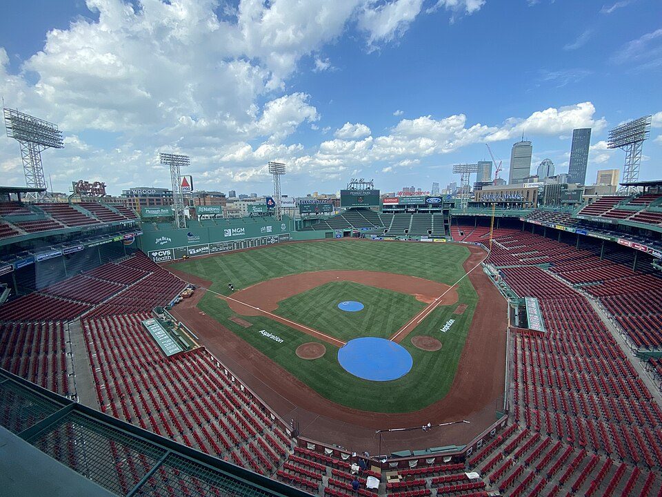 Big draw12 mi Stadium & arenaFenway Park
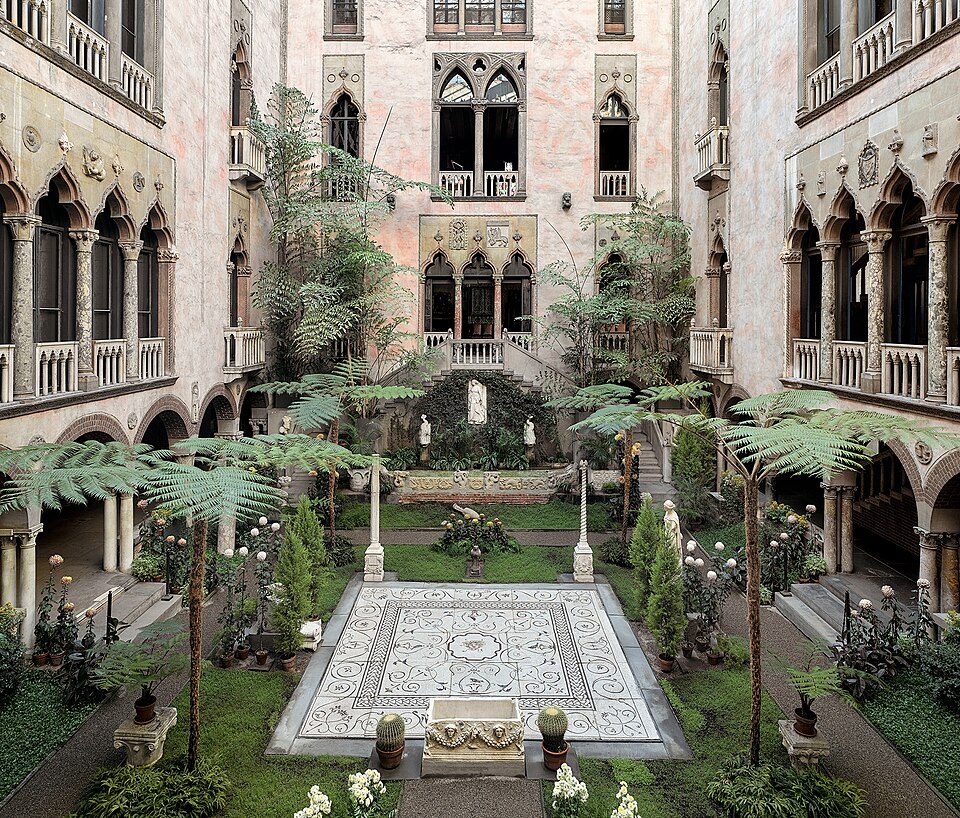 Big draw23 mi MuseumIsabella Stewart Gardner Museum
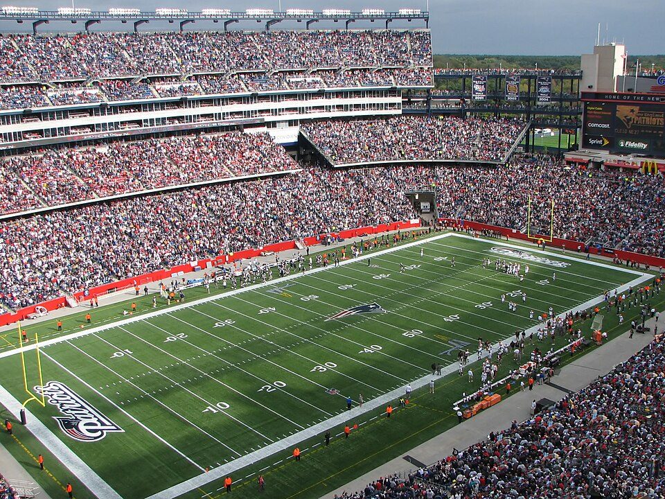 Big draw321 mi Stadium & arenaGillette Stadium
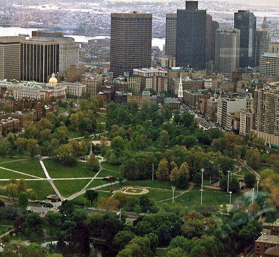 4in town City parkBoston Common
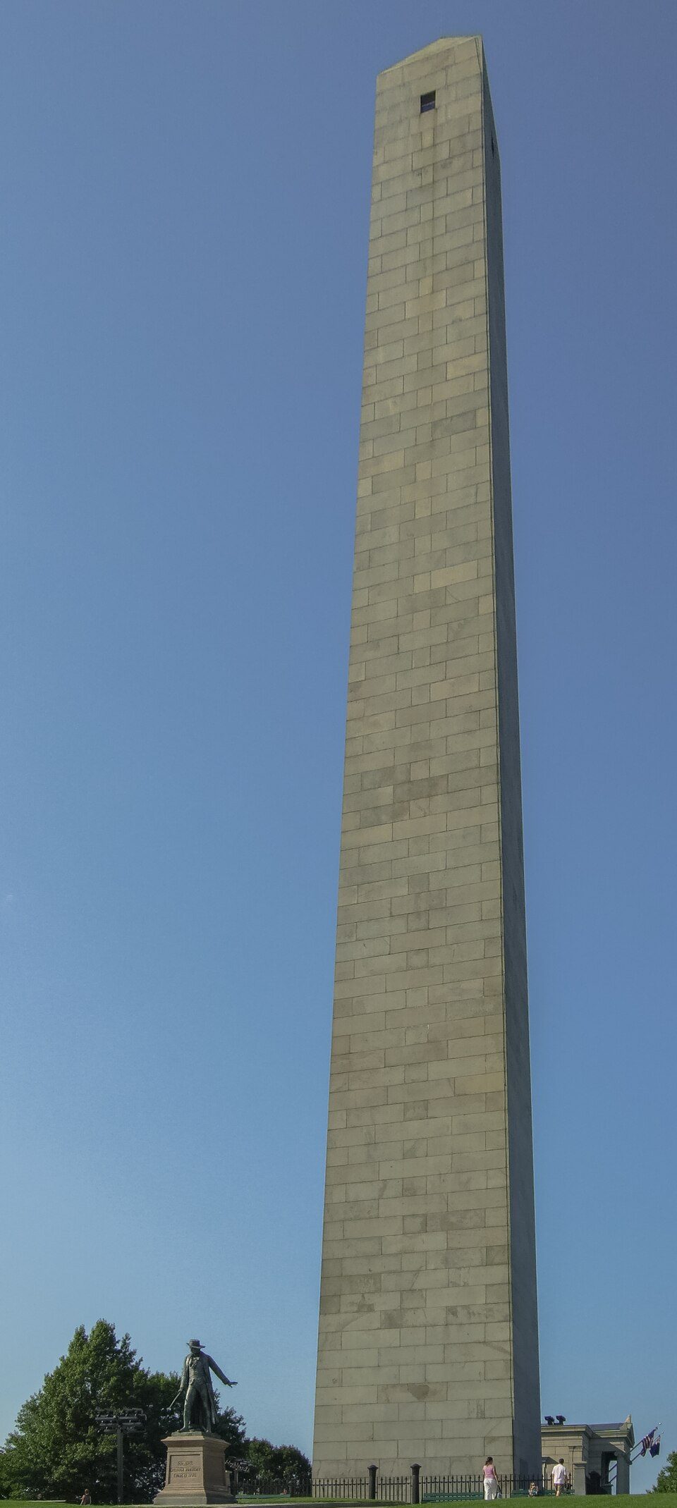 5in town MuseumBunker Hill Monument
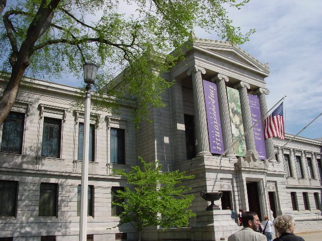 62 mi MuseumMuseum of Fine Arts Boston477K visitors a year
 7in town MuseumOld State House
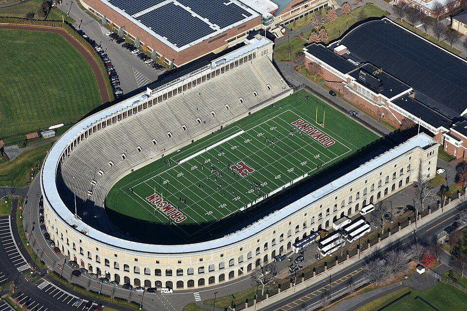 84 mi Stadium & arenaHarvard Stadium
Photo credits
Fenway Park: Gatorfan252525, CC BY-SA 4.0 · Isabella Stewart Gardner Museum: Sean Dungan, CC BY-SA 4.0 · Gillette Stadium: Bernard Gagnon, CC BY-SA 3.0 · Boston Common: Phillip Capper from Wellington, New Zealand, CC BY 2.0 · Bunker Hill Monument: Diego Delso, CC BY-SA 4.0 · Museum of Fine Arts Boston: Martin~jawiki at Japanese Wikipedia, CC BY-SA 3.0 · Old State House: Daniel Schwen, CC BY-SA 2.5 · Harvard Stadium: Nick Allen, CC BY-SA 4.0


Visiting Freedom Trail
Is Freedom Trail in Boston?
Yes. It’s inside Boston, MA.
When is the best time to visit Freedom Trail?
May, June, July, August, September and October, with highs of 62–82°.
What is the closest airport to Freedom Trail?
Boston Logan (BOS), about 2 miles away.
Where should I stay near Freedom Trail?
Boston (in town, 199 places to stay), Cambridge (3 mi, 30 places to stay) and Brookline (5 mi, 19 places to stay).
Questions for Boston
People in Boston have not posted tips yet; their Town Square is open.
Sources: National Park Service · ski areas © OpenSkiMap / OpenStreetMap contributors · Wikidata · Wikipedia readership · NOAA climate normals · U.S. Census.