Guest, Sign inJoin

Post to St. George

We’ll email a one-tap link to publish your post. No password, and nothing is public until you click it.
Already a member? Sign in
–Not graded
History · St. George

6 of St. George’s places are on the National Register

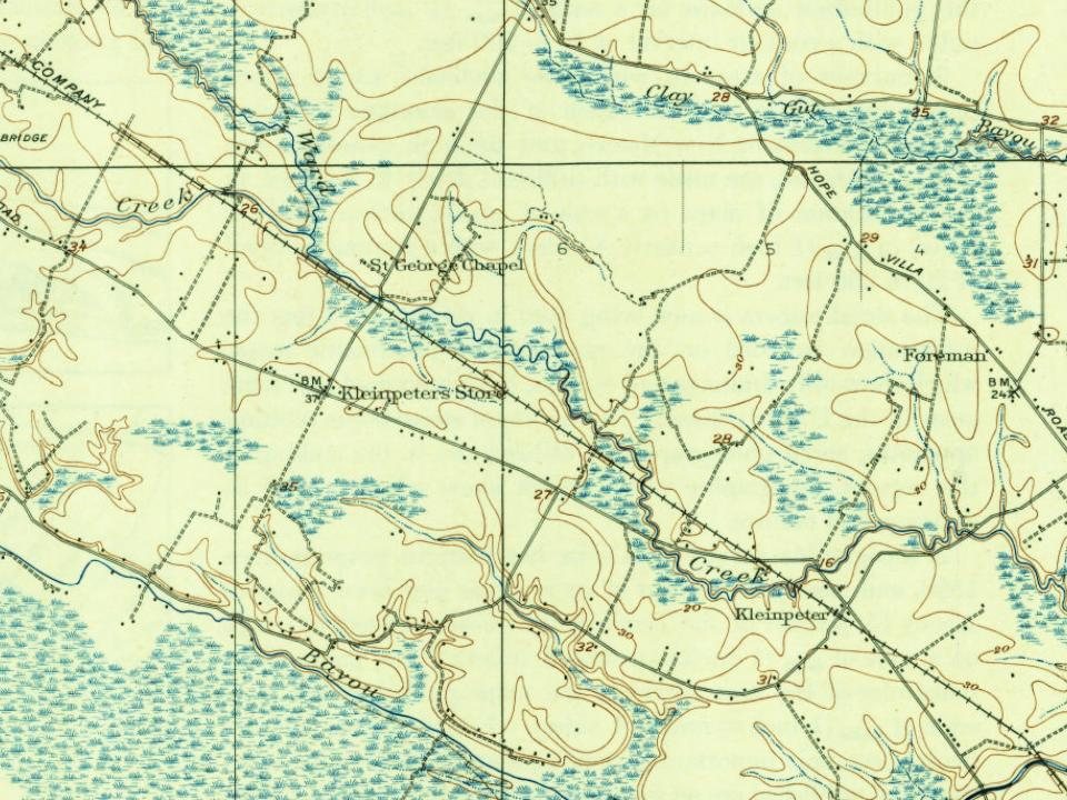
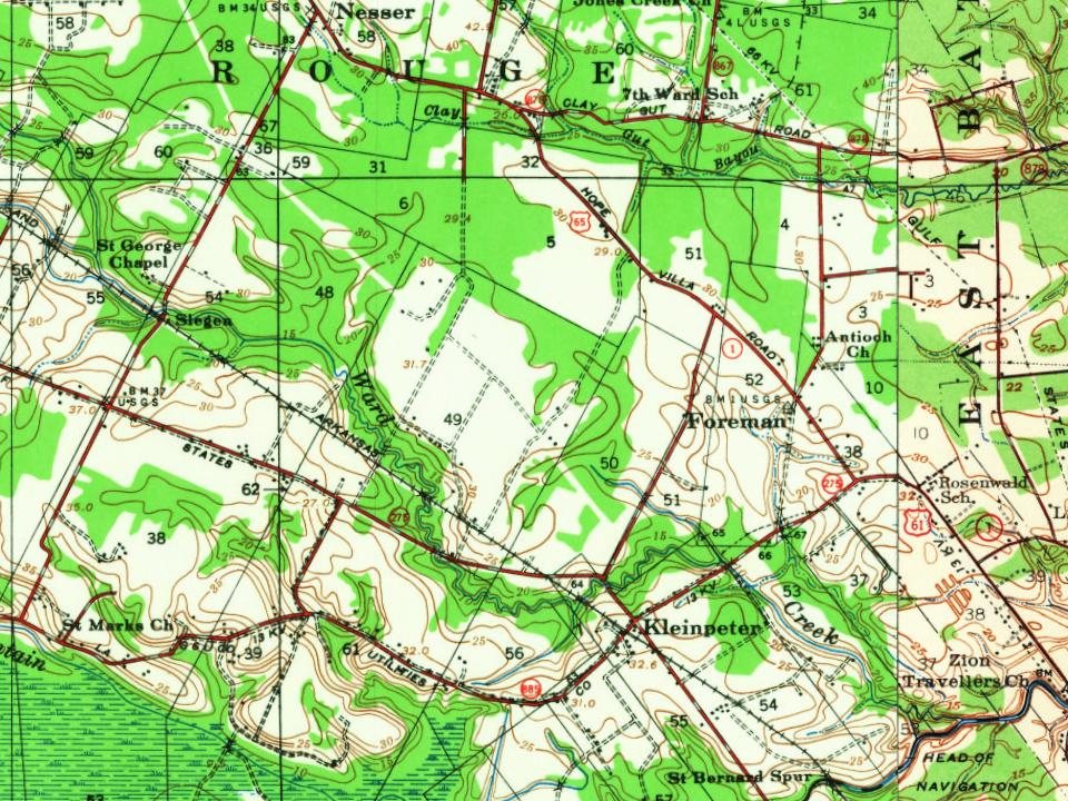
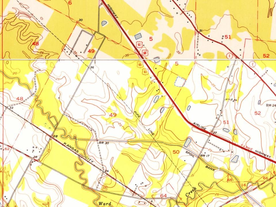
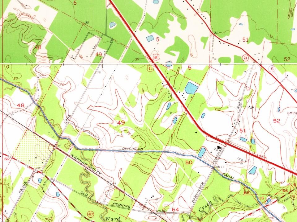
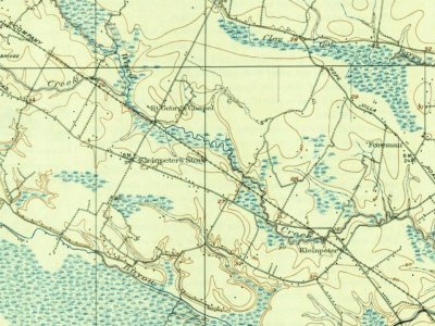
Below: maps from 1908 on.

6on the National Register

What stands out about St. George’s past

Read from the archive, the National Register and the record. The page puts what stands out first.

★ What stands out · Places that used to be

Lost post offices, old corners, places now gone and burying grounds

Two other post offices opened and closed inside today’s town.

Foreman
1890–1910
Burtville
1892–1932
18901960today
Hamlets and corners on the map
Antioch VillaAudubon TerraceBarkley PlaceBeacon HillBell Grove PlaceBluebonnet RidgeBriar PlaceBriarcliffBriarwood EstatesBrookhollow GlenBurtvilleCastilleCastle Ridge EstatesCloverlandCountry ManorDel Rey PlazaElliot AcresForemanForest HillFox RunHendricks Mobile Home ParkHickory RidgeHighland CommunityHighland Crossing
Gone or out of use
Antioch ChurchchurchBurtville Oil FieldoilfieldHarrells FerrycrossingHoo Shoo Too ClublocaleHummingbird FieldairportInterstate Landing StripairportKleinpeters StorelocaleNesser Oil FieldoilfieldNorth Burtville Oil FieldoilfieldRiverside LodgelocaleRosenwald SchoolschoolSaint Bernard SpurlocaleSaint Marks ChurchchurchSiegan Oil FieldoilfieldWoodstock Plantationlocale
7cemeteries and burying grounds inside St. George
CannHarelsonHillmanKleinpeterKnoxRichards Gardens of MemoryWoodlawn Baptist

US Post Offices dataset (Blevins & Helbock, CC0). Places and cemeteries from the USGS Geographic Names Information System (2021).

Help out

Start St. George’s collection

The first neighbors to add old photos shape how St. George’s history is told.

Decades since 1900 with photos
00s10s20s30s40s50s60s70s80s90s
0 of 10 decades. The empty ones are waiting for someone’s album.
On the map

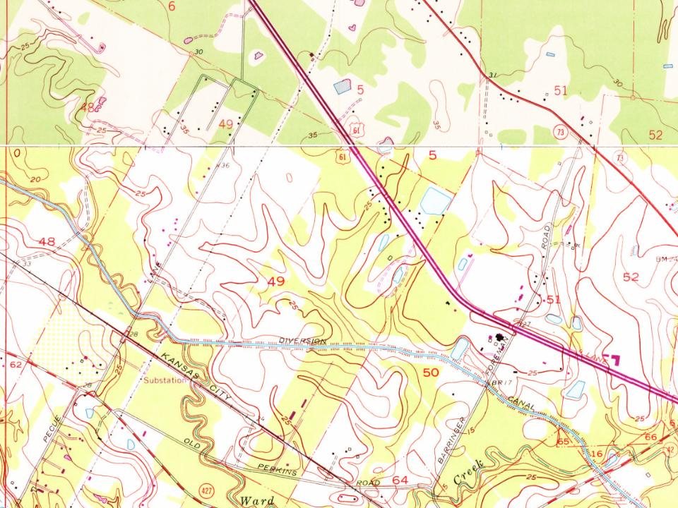
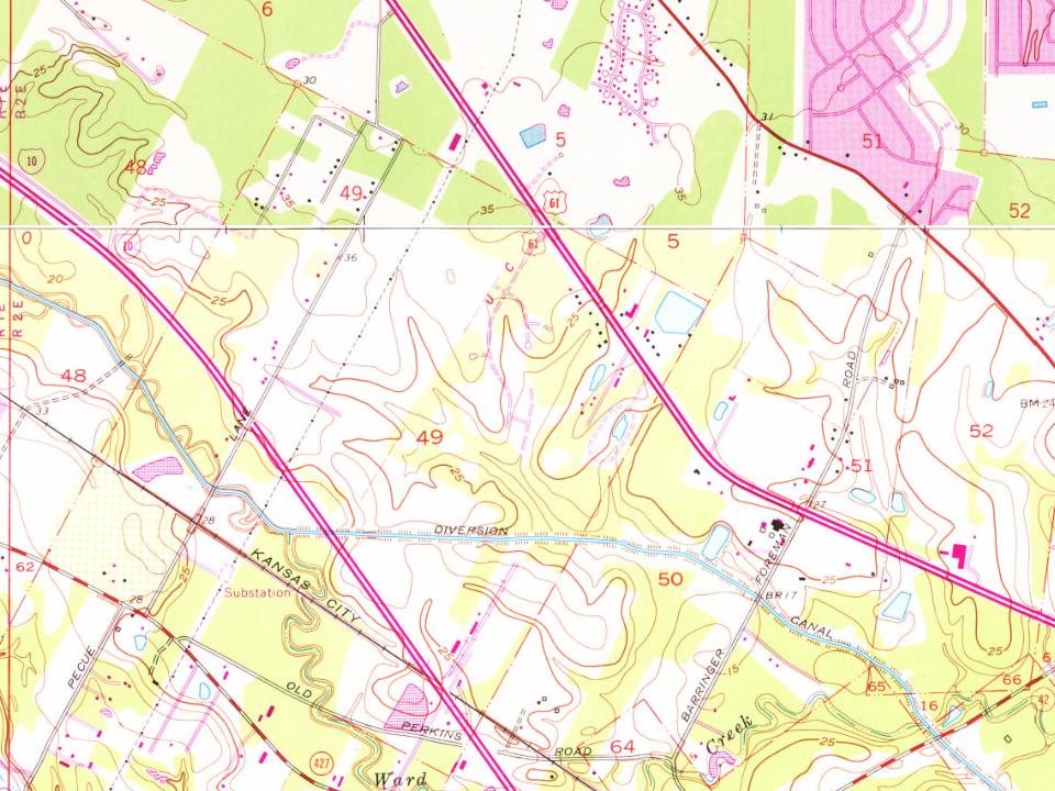
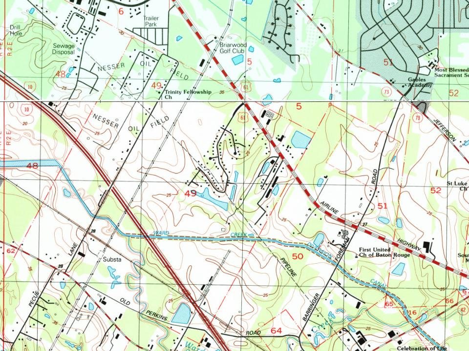
St. George on the map, 1908 to 1992

Every edition of the U.S. Geological Survey’s map of St. George. Tap a year, or press play to watch the town change.

St. George on the 1908 USGS mapSt. George on the 1939 USGS mapSt. George on the 1953 USGS mapSt. George on the 1963 USGS mapSt. George on the 1971 USGS mapSt. George on the 1980 USGS mapSt. George on the 1992 USGS map1908Baton Rouge sheet · 1:62,500

U.S. Geological Survey historical topographic maps (public domain), via Esri’s collection of the scans. The red ring marks the center of St. George.

The story

How St. George came to be

From Wikipedia’s history of St. George.

Read it all →

After the French and Indian War ended in 1763, Bayou Manchac (originally known as Rivière d'Iberville or the Iberville River) became an international border between the British (West Florida) and Spanish (Isle of Orleans) colonial territories. This bayou (which now forms the southern border of the City of St. George) runs from the Mississippi River on the west to the Amite River on the east.

Native Americans, specifically the Choctaw, were known to have lived in southeast Louisiana when Europeans first arrived. In 1764, after encroachment by European settlers, the Alabama-Coushatta and Pakana Muscogee Indians migrated into Louisiana, just north of Bayou Manchac.

Text from Wikipedia, licensed CC BY-SA 4.0.

Timeline

St. George, 1877 to 1932

Woven from the archive, old maps, post office records, the National Register and the people born here.

  1. 19th century
  2. 1877BuiltSanta Maria Plantation House is built
  3. 1890Post officeThe Foreman post office opens
  4. 1892Post officeThe Burtville post office opens
  5. 20th century
  6. 1908On the mapFirst mapped by the U.S. Geological Survey
  7. 1910Post officeThe Foreman post office closes
  8. 1932Post officeThe Burtville post office closes
By decade

St. George, decade by decade

On the National Register

6 historic places in St. George

The country’s official list of buildings and places worth saving.

places listed
6
National Historic Landmarks
0
none yet
historic buildings protected
11
each building in a district counts
first listed
1978
Santa Maria Plantation House
All 6 listings

National Park Service, National Register of Historic Places. Photos from Wikimedia Commons, credited on each place’s page.

Stories next door

History across the town line

Each neighbor’s History grade, on the same three inputs.

Questions about St. George’s history

What is on the National Register in St. George?

6 listings: 6 buildings, among them the Santa Maria Plantation House (listed 1978, the first). 11 historic buildings in all.

Memory lane

What the archives can’t tell you, neighbors can.

Town Square →
Start a conversation
Sources

Where this page comes from

Founding dates: Wikidata, Wikipedia, the U.S. post office records of Blevins & Helbock (CC0) and the Census. Homes by year built: Census ACS 2020–24. National Register of Historic Places: National Park Service (list of May 22, 2026). Old photos, postcards and papers: Wikimedia Commons, the Library of Congress and other public archives, credited on each item’s page. Maps: U.S. Geological Survey historical topographic maps (via Esri) and Sanborn fire-insurance maps (Library of Congress). History text and census tables: Wikipedia (CC BY-SA 4.0). Places that used to be: USGS Geographic Names Information System (2021). How TownRatings grades history →

From Wikimedia Commons (2), the National Register of Historic Places (6), Wikipedia, U.S. Geological Survey historical maps, the US Post Offices dataset (Blevins & Helbock) and the USGS Geographic Names Information System. Archive images are copied here with their credits and licenses, shown on each photo’s page. Refreshed monthly.