Des Plaines’ post office opened in 1837, and 2 of its places are on the National Register
More historic than 81% of U.S. towns · #165 of 768 in Illinois. What drives it
Most of Des Plaines was built recently: 9% of its homes predate 1940 and the median home dates from 1966. 2 places in town are on the National Register, among them a historic district with 121 buildings. Below: 10 old photos and papers, maps from 1900 on, and the census since 1880.
The Des Plaines post office opened in 1837, the earliest record of the town by name. Wikidata gives 1852. Two smaller post offices, Maine (1850) and Riverview (1893), opened inside today’s city and later closed.
First census: 818 in 18802020 census: 60,675189 years
How historic is Des Plaines?
A−
More historic than 81% of U.S. towns, on its age, its old homes and the National Register.
Founding year: the first Des Plaines post office (Blevins & Helbock, CC0). Wikidata: 1852.The full story ↓
History grade
What drives Des Plaines’ History grade
On its age, its old homes and the National Register, Des Plaines is more historic than 81% of U.S. towns, #165 of 768 in Illinois. Its National Register listings hold the grade up; its share of homes from before 1940 pulls it down.
A−
HistoryA character grade: shown, never part of Des Plaines’ overall grade.
Few Illinois towns list much on the Register (a typical Illinois town has 0.5 per 10,000 residents, the U.S. 2.4), so Des Plaines’ 20.6 sits above most of its state (87% of Illinois towns have fewer) while its 122 historic buildings outnumber those of 90% of U.S. towns.
How sure. Graded on any two of the three inputs instead, the letter would range from B to A. The pre-1940 share (±1.6 points) is firm at this size. The founding year is the first post office, not a stated founding date; Wikidata gives 1852.
Founding year: the first post office (other dates in Quick answers). Homes: Census ACS 2020–24. National Register: National Park Service, May 2026 list; each listing counted once (boundary changes and added documentation belong to their listing), and a historic district counts its contributing buildings. How TownRatings grades history →
What stands out about Des Plaines’ past
Read from the archive, the National Register and the record. The page puts what stands out first.
Potawatomi, Ottawa, and Ojibwe (Chippewa) Native American tribes inhabited the Des Plaines River Valley prior to Europeans' arrival. When French explorers and missionaries arrived in the 1600s in what was then the Illinois Country of New France, they named the waterway La Rivière des Plaines (English translation: "Plains River") as they felt that trees on the river resembled European plane trees. The first white settlers came from the eastern United States in 1833, after the signing of the 1833 Treaty of Chicago, followed by many German immigrants during the 1840s and '50s. In the 1850s, the land in this area was purchased by the Illinois and Wisconsin Land Company along a railroad line planned between Chicago and Janesville, Wisconsin. In 1852, the developers built a steam-powered mill next to the river to cut local trees into railroad ties. Socrates Rand then bought the mill and conve…
Passages that mention Des Plaines, cut from the printed page as they were published.
History of Cook County, Illinois1909 · page 271Read the page →
Read the text
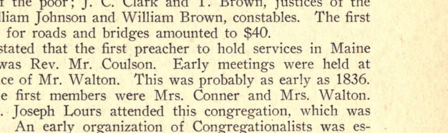
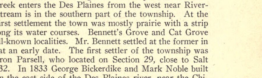
Rev. J. H. Laird was the first pastor. The Methodist church of Des Plaines was organized about the year 1870 by Rev. Schwartz and at first had a membership of about twenty. The village of Park Ridge was started about the year 1840 by two men named Warner and Stevens, who erected a small frame house on the present site of the village. Of course there was no village at that date, and the land had just been surveyed. The settlement of this locality was slow. In 1854 Benjamin Meacham built a brick
Text read by machine from the scan; it may contain errors.
History of Cook County, Illinois1909 · page 299Read the page →
Read the text
The village of Maywood, distant about ten and a quarter miles from Chicago, is on the west bank of the Des Plaines river. In 1868 W. I. Reynolds bought a tract there and organized a stock company and proceeded to lay out a village. Associated with him in the company were W. T. Nichols, J. P. Willard, P. S. Peake, A. S. Eaton, H. O. Gifford and A. M. Moore. In 1869 this concern organized as the Maywood company, which began an elaborate system of improvement. Streets were laid out, buildings commenced, ditches dug,
Text read by machine from the scan; it may contain errors.
Scans and text from the Internet Archive. Books published in 1930 or earlier, which are in the public domain.
Timeline
Des Plaines, 1837 to 2001
Woven from the archive, old maps, post office records, the National Register and the people born here.
The Des Plaines post office opened in 1837, the earliest record of the town by name (U.S. post office records). Wikidata gives 1852.
How does Des Plaines rank for history?
Des Plaines is more historic than 81% of U.S. towns, #165 of 768 in Illinois. The History grade combines the town’s founding era, the share of homes built before 1940 and its National Register listings. It’s a character grade, so it isn’t part of the overall grade. How it works.
What is on the National Register in Des Plaines?
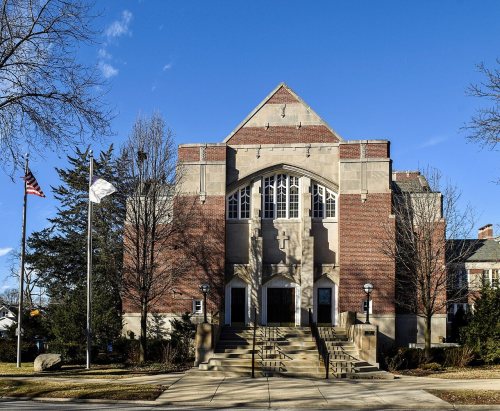
Two places: the Des Plaines Methodist Camp Ground (listed 2005) and the First Congregational Church, Des Plaines (2019).
How old are the homes in Des Plaines?
9% of Des Plaines’ homes were built before 1940 (Census estimate, ±1.6 points), against a typical 11% for an Illinois town; the median home was built in 1966.
Founding dates: Wikidata, Wikipedia, the U.S. post office records of Blevins & Helbock (CC0) and the Census. Homes by year built: Census ACS 2020–24. National Register of Historic Places: National Park Service (list of May 22, 2026). Old photos, postcards and papers: Wikimedia Commons, the Library of Congress and other public archives, credited on each item’s page. Maps: U.S. Geological Survey historical topographic maps (via Esri) and Sanborn fire-insurance maps (Library of Congress). History text and census tables: Wikipedia (CC BY-SA 4.0). Places that used to be: USGS Geographic Names Information System (2021).
From Wikimedia Commons (28), the Library of Congress (2), the National Register of Historic Places (2), Wikipedia, Wikidata and Wikipedia for famous people, U.S. Geological Survey historical maps, U.S. Census counts (via Wikipedia), the US Post Offices dataset (Blevins & Helbock), the USGS Geographic Names Information System and old county and town histories (Internet Archive). Archive images are copied here with their credits and licenses, shown on each photo’s page. Refreshed monthly.
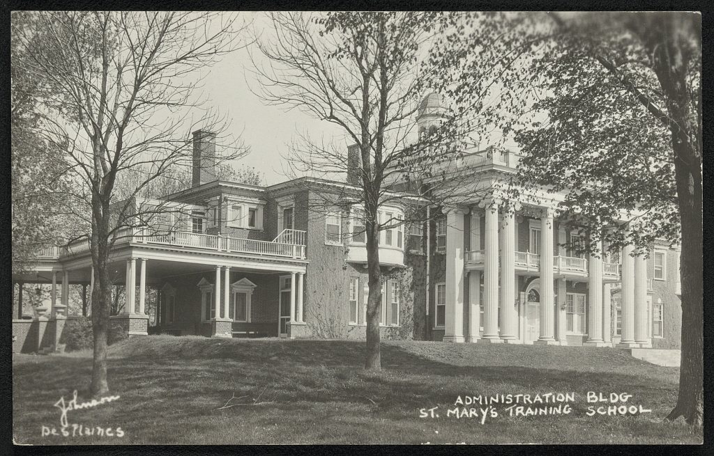

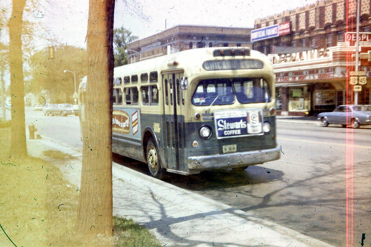

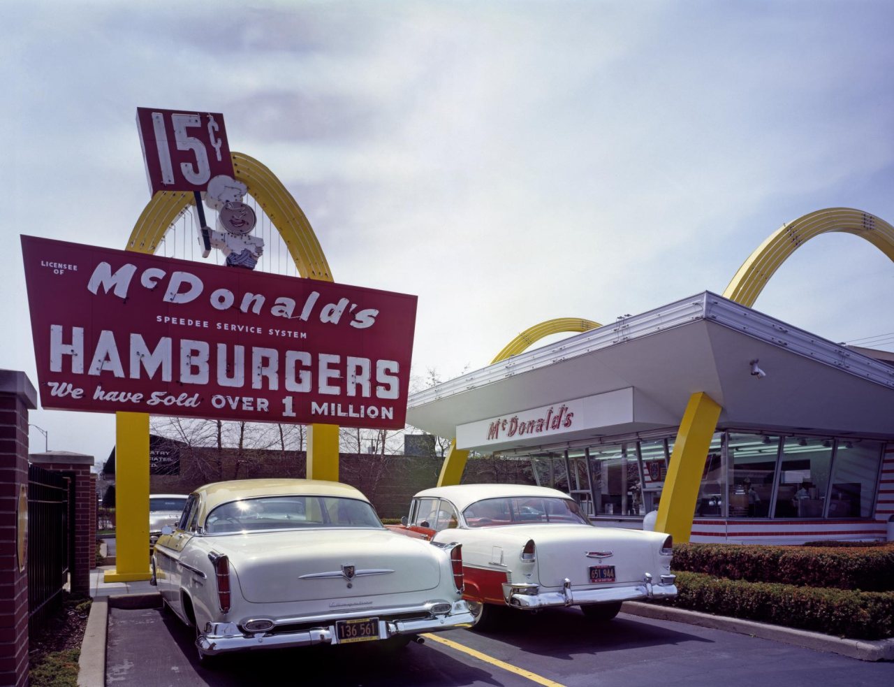


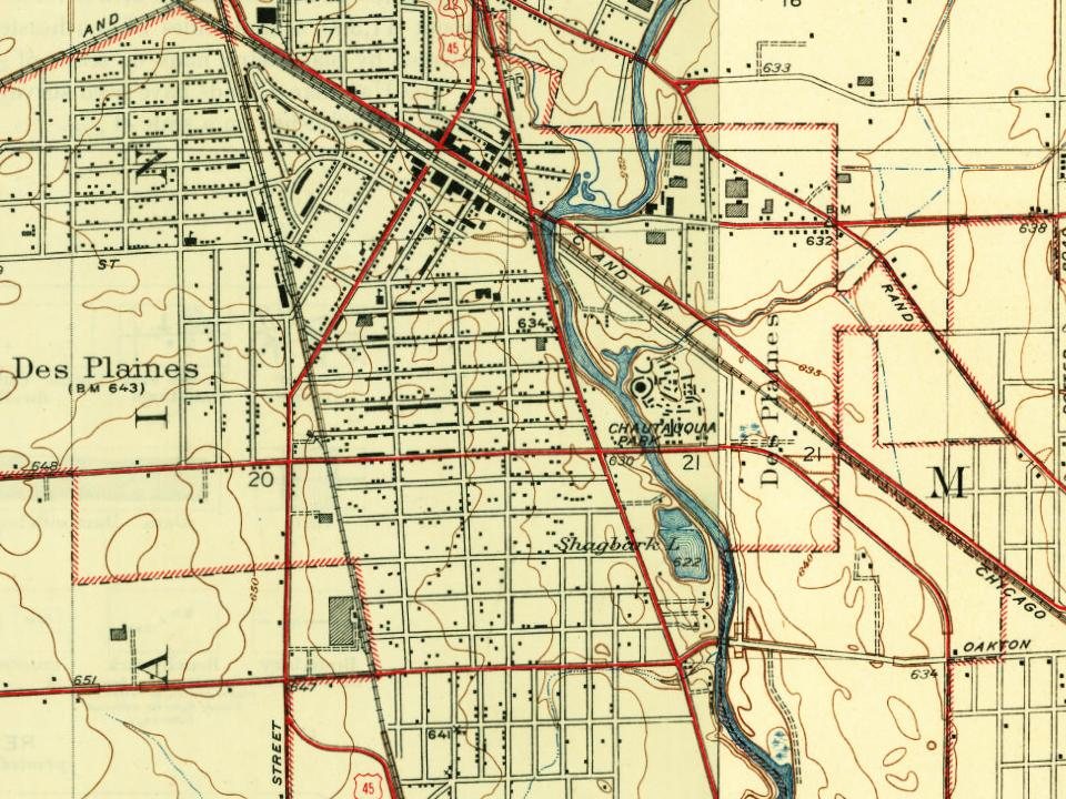
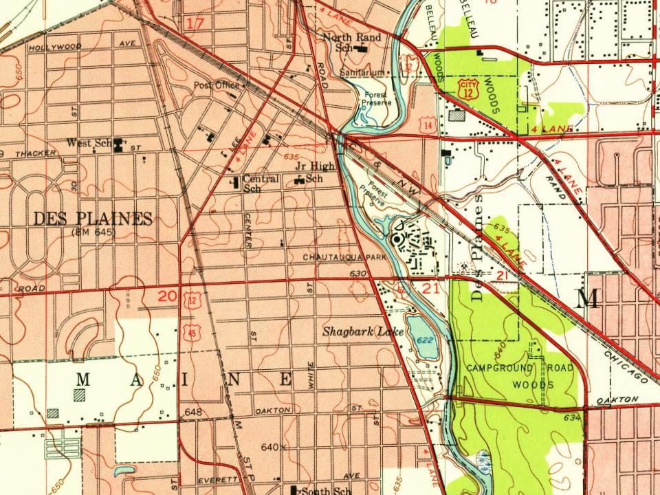
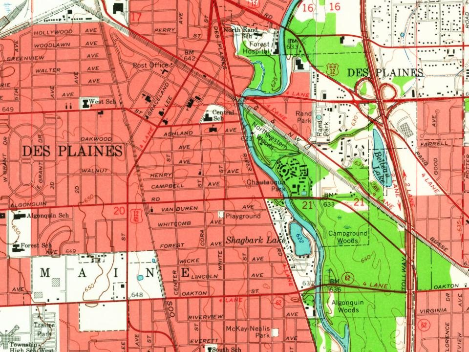
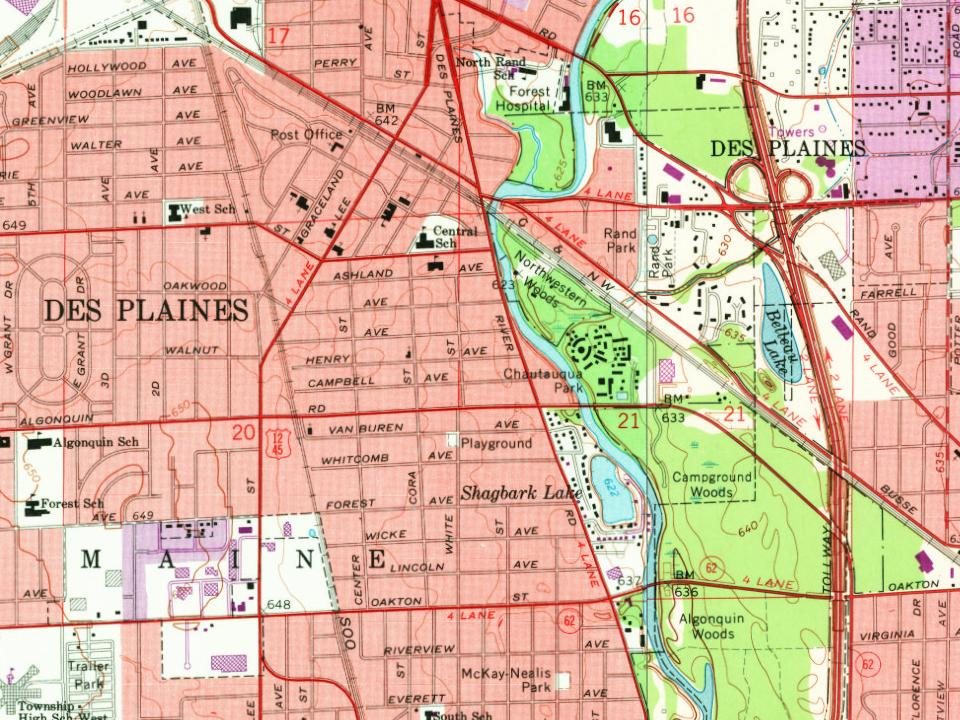
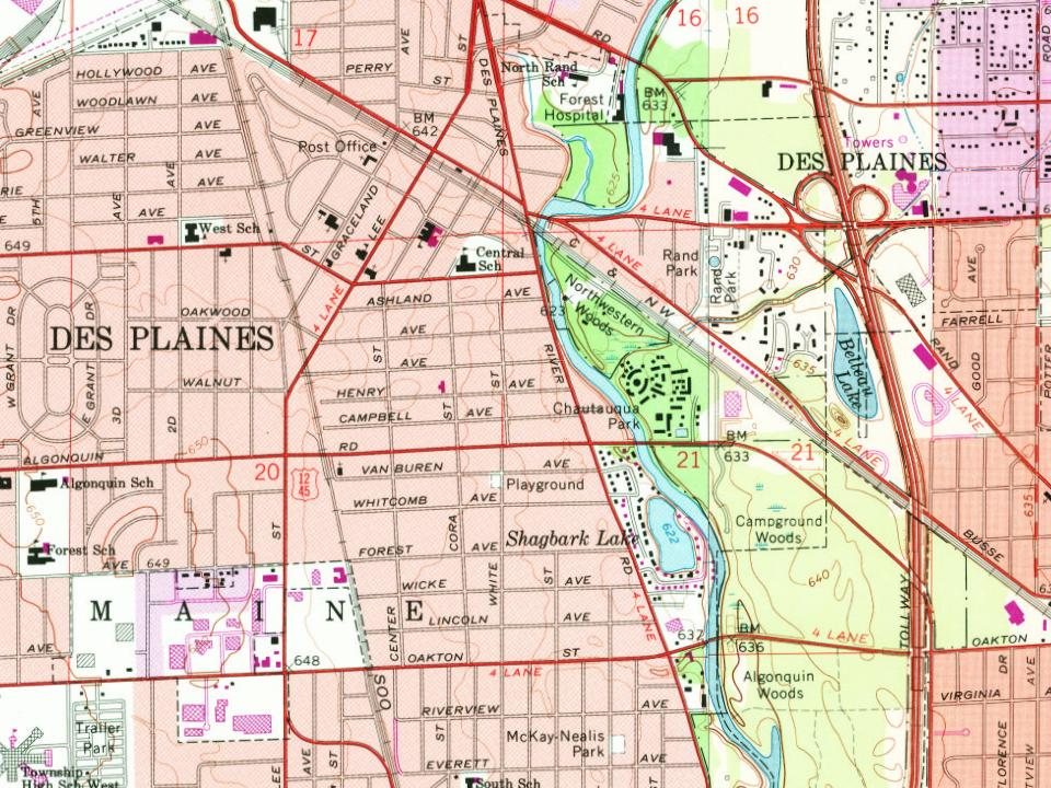
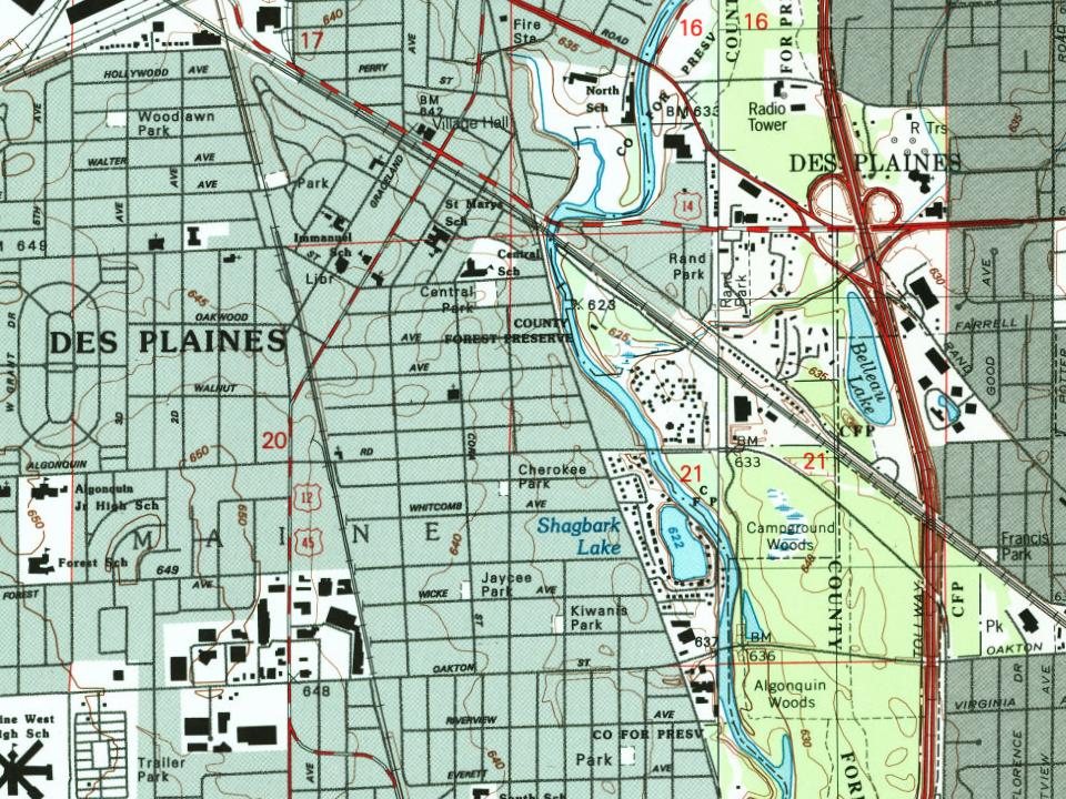





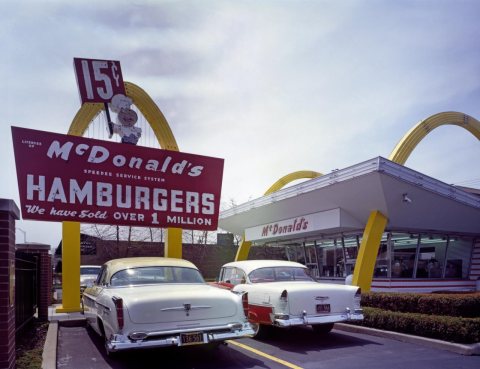

 1963
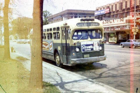 1967
 1967
 1967
 1994
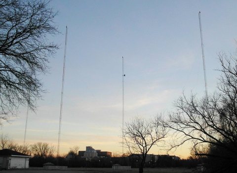 2020
 2019
 2018
 2018
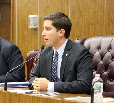 2013
 2013
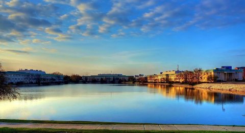 2013
 2013
 2012
 2012
 2012
 2012
 2012
 2012
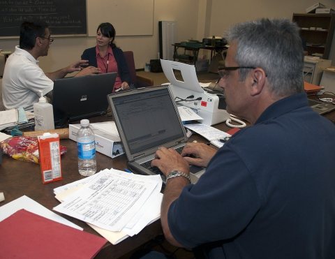 2010
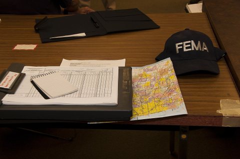 2010
 2009
 2009
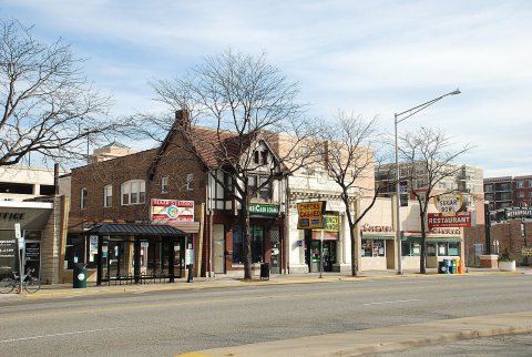 2008
 2005
