Haddam dates to 1668, and 15% of its homes were built before 1940
More historic than 93% of U.S. towns · #32 of 155 in Connecticut. What drives it
5 places in town are on the National Register, among them four historic districts with 193 buildings between them. Below: 1 old photo or paper, maps from 1893 on, and the census since 1790.
Founding year: Wikidata; Wikipedia’s history section gives the same year. First post office: 1802.The full story ↓
History grade
What drives Haddam’s History grade
On its age, its old homes and the National Register, Haddam is more historic than 93% of U.S. towns, #32 of 155 in Connecticut. All 3 inputs are above most U.S. towns; its age ranks highest and its share of homes from before 1940 lowest.
A
HistoryA character grade: shown, never part of Haddam’s overall grade.
Connecticut towns list more on the Register than most of the country (a typical Connecticut town has 73.3 per 10,000 residents, the U.S. 2.4), so Haddam’s 224 sits above most of its state (78% of Connecticut towns have fewer) while its 194 historic buildings outnumber those of 93% of U.S. towns.
How sure. Graded on any two of the three inputs instead, the letter would range from A− to A+. The pre-1940 share is a Census survey estimate (±4.1 points). Two sources give 1668.
Founding year: Wikidata (other dates in Quick answers). Homes: Census ACS 2020–24. National Register: National Park Service, May 2026 list; each listing counted once (boundary changes and added documentation belong to their listing), and a historic district counts its contributing buildings. How TownRatings grades history →
What stands out about Haddam’s past
Read from the archive, the National Register and the record. The page puts what stands out first.
Brainerd AcademyschoolGillette QuarrymineGolden Ball TavernbuildingRed Store LandinglocaleSmith Landinglocale
10cemeteries and burying grounds inside Haddam
Burr DistrictHaddam CenterLittle CityNew PonsetOld PonsetOld Rock LandingOld Rock LandingShailerville TylervilleThirty Mile Island Plantation Burial YardTurkey Hill
US Post Offices dataset (Blevins & Helbock, CC0). Places and cemeteries from the USGS Geographic Names Information System (2021).
Help out
Start Haddam’s collection
The first neighbors to add old photos shape how Haddam’s history is told.
Decades since 1900 with photos
00s10s20s30s40s50s60s70s80s90s
0 of 10 decades. The empty ones are waiting for someone’s album.
Haddam, in Middlesex County, is located in south-central Connecticut in the lower Connecticut River Valley. It is also home to Cockaponset State Forest. It was incorporated in October 1668 as Hadham, but unusually for the many New England towns ending in -ham, the spelling eventually came to reflect the phonetic pronunciation. Haddam is the only town in Connecticut divided by the Connecticut River, and only one of three divided towns along the entire Connecticut River, the other two being Northfield, Massachusetts, and Pittsburg, New Hampshire. Haddam contains five villages: Hidden Lake, Higganum, Shailerville, and Tylerville on the west side of the river, and Haddam Neck on the east. For the first two hundred years of the town's existence, the Connecticut River was a major source of income and transportation. Today, the town of Haddam is a residential community.
Passages that mention Haddam, cut from the printed page as they were published.
By gone days in Ponsett-Haddam, Middlesex County, Connecticut1914 · page 45Read the page →
Read the text
Long Island Sound. The picturesque village of Moodus, which nestles amid the hills on the east side of the Connecticut, is plainly to be seen, and a fine view is obtained of the lofty spire on the Congregational Church at Little Haddam. We also catch a glimpse of the spires at Haddam Neck, Middle Haddam, and Higganum, while the cross of St. James' Church in the Ponsett valley rises over the surrounding hills. From Knowles hill an extensive view is obtained of the Connecticut valley. From John's hill, whose
Text read by machine from the scan; it may contain errors.
By gone days in Ponsett-Haddam, Middlesex County, Connecticut1914 · page 43Read the page →
Read the text
Thus, five young men from the town of Haddam, nearly all, if not all of them from Ponsett, must have met an untimely end. Their names were John Hubbard, Willard Knowlcs, Challenge Smith, Prince Thomas and another by the name of Porter.
Text read by machine from the scan; it may contain errors.
Scans and text from the Internet Archive. Books published in 1930 or earlier, which are in the public domain.
Timeline
Haddam, 1668 to 2020
Woven from the archive, old maps, post office records, the National Register and the people born here.
In 1668, according to Wikidata and Wikipedia’s history of the town. Haddam’s post office opened in 1802, and the first U.S. census counted 2,195 people here in 1790.
How does Haddam rank for history?
Haddam is more historic than 93% of U.S. towns, #32 of 155 in Connecticut. The History grade combines the town’s founding era, the share of homes built before 1940 and its National Register listings. It’s a character grade, so it isn’t part of the overall grade. How it works.
What is on the National Register in Haddam?
5 listings: 1 building, among them the James Hazelton House (listed 1988, the first), and 4 historic districts with 193 contributing buildings. 194 historic buildings in all.
How old are the homes in Haddam?
15% of Haddam’s homes were built before 1940 (Census estimate, ±4.1 points), against a typical 15% for a Connecticut town; the median home was built in 1971.
Founding dates: Wikidata, Wikipedia, the U.S. post office records of Blevins & Helbock (CC0) and the Census. Homes by year built: Census ACS 2020–24. National Register of Historic Places: National Park Service (list of May 22, 2026). Old photos, postcards and papers: Wikimedia Commons, the Library of Congress and other public archives, credited on each item’s page. Maps: U.S. Geological Survey historical topographic maps (via Esri) and Sanborn fire-insurance maps (Library of Congress). History text and census tables: Wikipedia (CC BY-SA 4.0). Places that used to be: USGS Geographic Names Information System (2021).
From Wikimedia Commons (18), the National Register of Historic Places (5), Wikipedia, Wikidata and Wikipedia for famous people, U.S. Geological Survey historical maps, U.S. Census counts (via Wikipedia), the US Post Offices dataset (Blevins & Helbock), the USGS Geographic Names Information System and old county and town histories (Internet Archive). Archive images are copied here with their credits and licenses, shown on each photo’s page. Refreshed monthly.


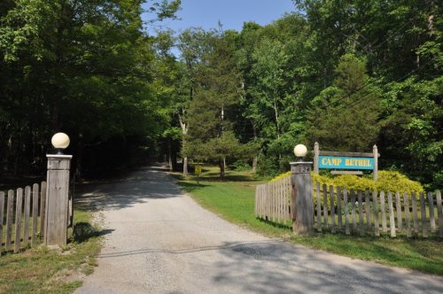


 2024
 2024
 2024
 2024
 2024
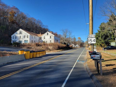 2024
 2024
 2023
 2019
 2017
 2017
 2016
 2016
 2016
 2011
 2010
 2008


