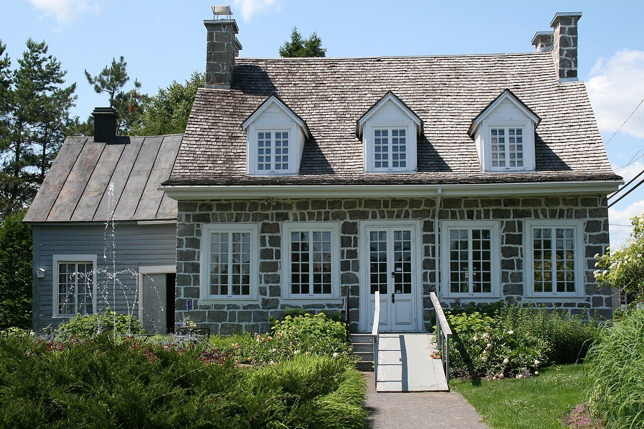
Maison Antoine-Lacombe · Photo: Dreamdan · CC BY-SA 3.0
1historic place on the registers
History of Saint-Charles-Borromée · Canada’s heritage registers
Saint-Charles-Borromée’s 1 historic place is a top designation
In Saint-Charles-Borromée that place is Maison Antoine-Lacombe, a classified heritage building (québec), from 1840. Homes from before 1961 are 5.8% of the stock, under the 18% of the typical town. Relative to its size Saint-Charles-Borromée has 0.6 per 10,000 residents, more than 75% of Canadian towns.
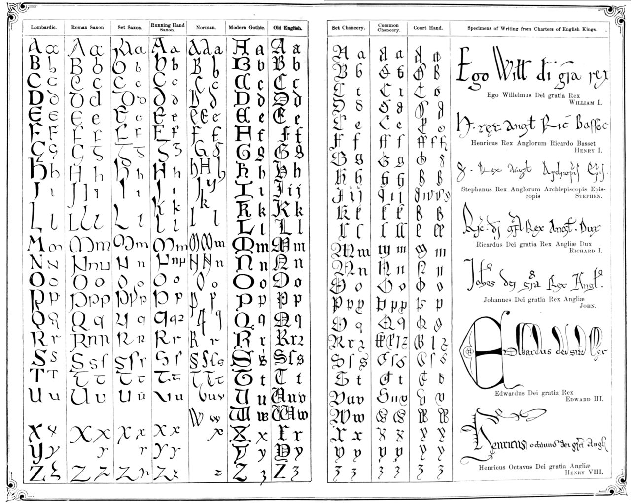
Public domain or CC0, made before 1950, from Wikimedia Commons; old views of places can be drawings, prints or maps of their time. Each credit opens the image’s page.
How it began
The record of Saint-Charles-Borromée, from 1855 on
The municipality of Saint-Charles-Borromée was incorporated as a town in 2019. The date Wikidata keeps for Saint-Charles-Borromée is July 1, 1855; whether it was a founding or a legal act, the entry leaves open.
Within 5 km of Saint-Charles-Borromée, one top designation
The mix: 2 municipal citations, a heritage railway station and a National Historic Site. Count to 5 km and there are 4. By age, Joliette Court House leads, from 1860, at 3.1 km.
New homes stand out in Saint-Charles-Borromée: 11% from 2016–21, where most towns have 4.1%
27% of Saint-Charles-Borromée’s homes date from 2001 to 2015, well above the typical 15%. The busiest building years in Saint-Charles-Borromée were from 1981 to 2000, which account for 28% of today’s homes. Half of the homes standing in Saint-Charles-Borromée today were built before 2001.
5.8%
Before 1961
28%
1961–80
28%
1981–2000
27%
2001–15
11%
2016–21
Saint-Charles-BorroméeTypical town
2021 Census, private dwellings by period of construction (Statistics Canada); the typical town is the middle Canadian town of 2,500 or more.
Towns its size
Saint-Charles-Borromée has the 2nd most of 16 towns its size
Towns of 16,700 to 17,100 residents, by places on the registers.
Inside Saint-Charles-Borromée there are 1 historic place, one with the highest designation, led by Maison Antoine-Lacombe. Of the 16 towns closest in size, just one has more historic places. Counted by age, only 5.8% of its homes come from before 1961, against 18% in the typical town. Everything else is close to the norm: its designation dates from 1968.
How to read these numbers
What this data can and can’t tell you
•
The tiers. Three tiers: the top for National Historic Sites, classified federal buildings and Québec’s classements, a second for the other federal designations, a third for provincial and municipal listings.
•
Protection. Here the register is also the protection: classement and citation under Québec’s cultural heritage law control changes, while federal recognition does not.
•
The grade. History is described, not graded, for every Canadian town.
•
The federal register. Federal places come from Parks Canada’s directory, which counts National Historic Sites, federal heritage buildings, stations and lighthouses; their statements are the register’s own.
•
Québec’s register. The Répertoire du patrimoine culturel du Québec is open data, so the province’s own designations and its municipalities’ citations are here in full.
•
People and events. Persons of national historic significance come with no location; a town gets one only by birthplace (name and both life years agreeing) or by one of its own places that bears the name and whose record tells the story. Events, which can’t be tied, are left out.
Questions about Saint-Charles-Borromée’s history
Which places in Saint-Charles-Borromée have the highest designation?
Maison Antoine-Lacombe.
What is the oldest building in Saint-Charles-Borromée?
Maison Antoine-Lacombe — its record dates it to 1840 (Classified heritage building (Québec)).
How old are the homes in Saint-Charles-Borromée?
5.8% of its homes were built before 1961, against 18% in the typical Canadian town.
Contains information licensed under the Open Government Licence – Canada (Parks Canada). Québec register data: Ministère de la Culture et des Communications du Québec, CC BY 4.0.
Sources: Parks Canada, Directory of Federal Heritage Designations · Canadian Register of Historic Places (federal extract) · Répertoire du patrimoine culturel du Québec (MCC, Données Québec) · Wikidata (CC0) for map points, other names and articles · Statistics Canada, 2021 Census (homes by period of construction). Under the Statistics Canada Open Licence.
 1879
 Top