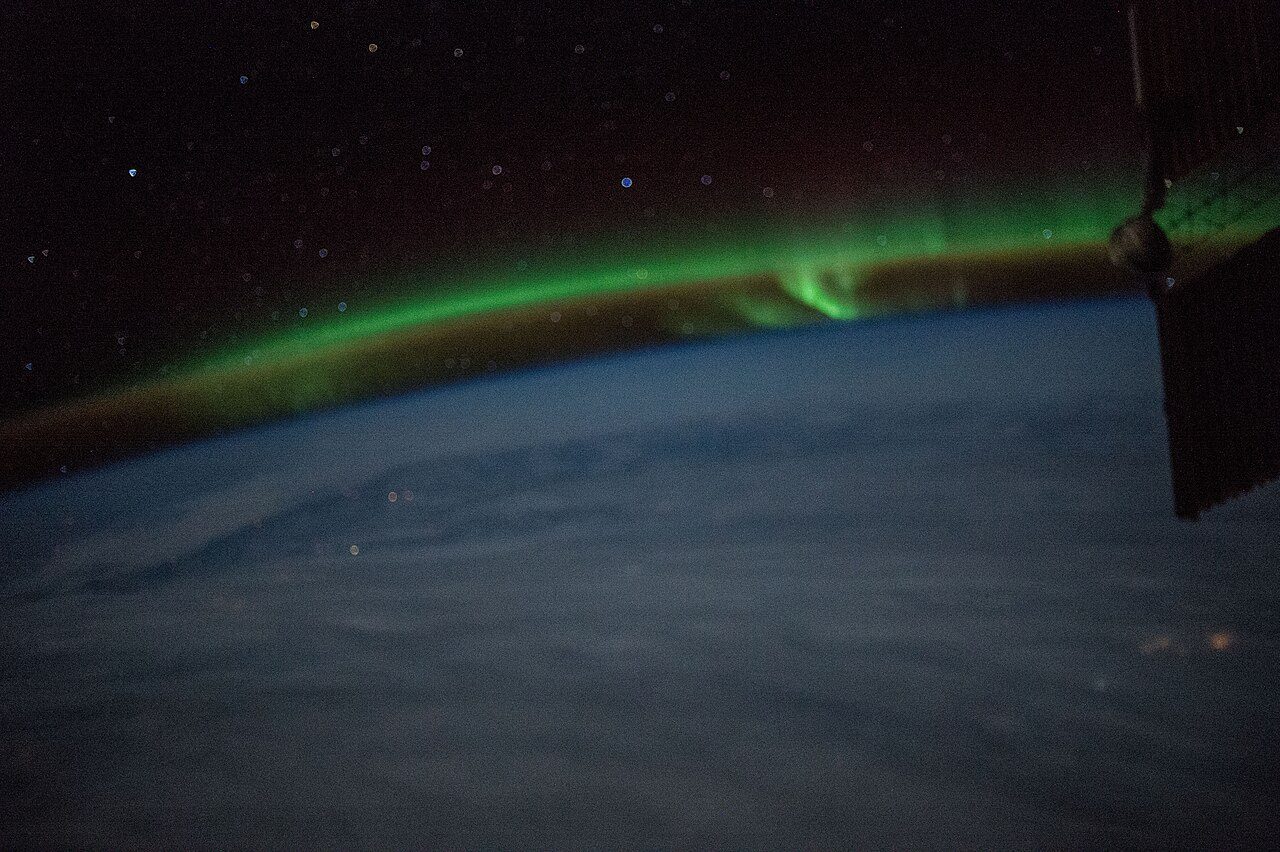
 Photo: Earth Science and Remote Sensing Unit , Lyndon B. Johnson Space Center · Public domain
Before 1961: 32% of the homes in Murray River, Part 1
For Murray River, Part 1, that is 1.8 times the typical town’s share, 18%. Panmure Head Lighthouse, 15 km from Murray River, Part 1, heads a list of 24 historic places within 50 km. For the highest designations, the closest town is Three Rivers, 16 km off. Outside the boundary but close by, there is one more.
The 50 km around Murray River, Part 1 keep buildings from as early as 1732
No place near Murray River, Part 1 is close: these lie up to 50 km away, each by its first recorded construction date.
The bars count 24 dated places within 50 km. 11 are older than 1867. First by date comes “Jean-Pierre Roma at Three Rivers, P. E. I.” in Three Rivers, from 1732.
The registers find 24 places within 50 km of Murray River, Part 1
They are 14 National Historic Sites, 5 heritage lighthouses and 4 provincial or municipal listings. Their towns number 7: Charlottetown, Pictou and Three Rivers first. Nearest comes Panmure Head Lighthouse, 15 km off, in Three Rivers.
The 12 nearest, within 50 km
| Panmure Head LighthouseHeritage Lighthouse · 1853 · 15 km away, in Three Rivers |
| Jean-Pierre Roma at Three Rivers, P. E. I.National Historic Site · 1732–1733 · 15 km away, in Three Rivers |
| Wood Islands LighthouseDesignated heritage place · 1876 · 16 km away, in Belfast |
| Point Prim LighthouseHeritage Lighthouse · 1845 · 34 km away, in Belfast |
| Pictou Railway Station (Intercolonial)National Historic Site · 1904–1905 · 42 km away, in Pictou |
| Pictou AcademyNational Historic Site · 1818–1819 · 42 km away, in Pictou |
| McCulloch House MuseumProvincially Registered Property · 42 km away, in Pictou |
| Souris East LighthouseDesignated heritage place · 1881 · 43 km away, in Souris |
| Blockhouse Point LighthouseHeritage Lighthouse · 1876–1877 · 45 km away, in West River |
| Skmaqn–Port-la-Joye–Fort AmherstNational Historic Site · 1748–1759 · 46 km away, in West River |
| St. Peters Harbour LighthouseHeritage Lighthouse · 1878 · 46 km away, in Morell |
| Great George Street Historic DistrictNational Historic Site · 1864 · 46 km away, in Charlottetown |
Just outside Murray River, Part 1: 1
| Cape Bear LighthouseHeritage Lighthouse · 2.8 km outside the town |
Murray River, Part 1 added few homes from 2016 to 2021: 2.6%, where most towns have 4.1%
Homes built from 1961 to 1980 make up just 19% of Murray River, Part 1’s, against 27% in the typical town. 23% of Murray River, Part 1’s homes were built from 2001 to 2015, more than the typical town’s 15%. More than half of Murray River, Part 1’s housing predates 1981.
2021 Census, private dwellings by period of construction (Statistics Canada); the typical town is the middle Canadian town of 2,500 or more.
Murray River, Part 1 and its neighbours
| Town | People | Places | Highest | Oldest |
|---|---|---|---|---|
| Murray River, Part 1 | 1,638 | 0 | 0 | — |
| Three Rivers | 9,322 | 2 | 1 | 1732 |
Murray River, Part 1 in brief
Of the homes standing in Murray River, Part 1, 32% went up before 1961, against 18% in the typical town. Otherwise the figures are ordinary: its past has one life on the record, Bernard Donald Macdonald (1797).
What this data can and can’t tell you
- The grade. History is described, not graded, for every Canadian town.
- The federal register. The federal list is complete and open: Parks Canada’s directory for the designations, the Canadian Register of Historic Places for what each one is and why it matters.
- Provincial and municipal lists. Outside Québec, provinces’ and municipalities’ heritage registers aren’t open data; their places are known only through Wikidata items with a register number, and only those with an encyclopedia article get a page.
- People and events. National historic persons carry no place in the open file. They appear on a town’s page when born there (same name, same birth and death years) or when a historic place inside it carries their name and its record names them with their dates; national historic events don’t appear.
- The tiers. Three tiers: the top for National Historic Sites, classified federal buildings and Québec’s classements, a second for the other federal designations, a third for provincial and municipal listings.
- Protection. National historic designation honours a place but binds only federal owners; a private building’s protection depends on its province or municipality.
Questions about Murray River, Part 1’s history
How many historic places does Murray River, Part 1 have on the registers?
The registers have nothing inside Murray River, Part 1; Panmure Head Lighthouse, in Three Rivers, is 15 km away.
How old are the homes in Murray River, Part 1?
The 2021 Census dates 32% of its homes before 1961 (18% in the typical town).
Why might a heritage building in Murray River, Part 1 be missing here?
Only federal designations are fully open outside Québec. 5 more listings in Murray River, Part 1 are known through Wikidata alone, so they are counted, not paged.
Contains information licensed under the Open Government Licence – Canada (Parks Canada).
Sources: Parks Canada, Directory of Federal Heritage Designations · Canadian Register of Historic Places (federal extract) · Wikidata (CC0) for map points, other names and articles · Statistics Canada, 2021 Census (homes by period of construction). Under the Statistics Canada Open Licence.
Adapted from Statistics Canada (Census of Population 2021, population estimates 2025, 2021 census boundaries) under the Statistics Canada Open Licence; this does not constitute an endorsement by Statistics Canada. Neighbourhood names in some cities © OpenStreetMap contributors (ODbL).