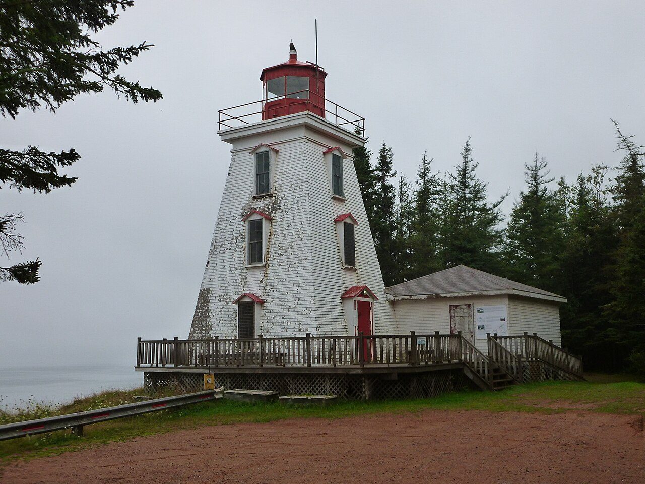
Cape Bear Lighthouse
In French: Phare du cap Bear
Black Brook Road, Murray River, Part 1
About Cape Bear Lighthouse
Cape Bear Lighthouse is Murray River, Part 1’s heritage lighthouse. Construction of Cape Bear Lighthouse is recorded as 1881.
The Cape Bear Lighthouse is a wooden square-tapered tower. Built in 1881, the lighthouse achieves a height of 12.2 metres (40 feet) from base to vane. It was decommissioned and replaced by a skeleton tower in 2011. The lighthouse is located on the southeastern tip of Prince Edward Island overlooking the Northumberland Strait. The lighthouse guides ships into Murray Harbour and is part of a series of lighthouses that allow vessels to safely navigate the Northumberland Strait.
From the Canadian Register of Historic Places, Cape Bear Lighthouse · Open Government Licence – Canada · the register’s own words, unchanged
Heritage lighthouses were designated under federal law from 2008.
Finding Cape Bear Lighthouse
Murray River, Part 1


To reach another historic place from here you will need more than a short walk.
Questions about Cape Bear Lighthouse
Is Cape Bear Lighthouse protected?
Its designation under the federal lighthouse act protects it.
When was Cape Bear Lighthouse built?
By its record, Cape Bear Lighthouse dates from 1881.
What is Cape Bear Lighthouse?
Cape Bear Lighthouse: a heritage lighthouse, designated in 2015.
Can you visit Cape Bear Lighthouse?
Yes from the outside; whether it opens its doors is for its owner to say.
Contains information licensed under the Open Government Licence – Canada (Parks Canada).
Sources: Parks Canada, Directory of Federal Heritage Designations · Canadian Register of Historic Places (federal extract) · Photos: Wikimedia Commons, each credited with its licence and copied to our own server · Wikidata (CC0) for map points, other names and articles.
Adapted from Statistics Canada (Census of Population 2021, population estimates 2025, 2021 census boundaries) under the Statistics Canada Open Licence; this does not constitute an endorsement by Statistics Canada. Neighbourhood names in some cities © OpenStreetMap contributors (ODbL).