Guest, Sign inJoin
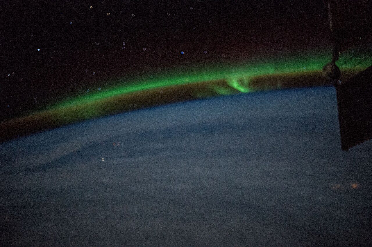
ISS047-E-24639 - View of EarthPhoto: Earth Science and Remote Sensing Unit , Lyndon B. Johnson Space Center · Public domain
Weather in Murray River, Part 1 · ECCC forecast and 1991–2020 normals

Murray River, Part 1, tomorrow: chance of showers or drizzle, and the thermometer reaches 7 degrees

Wet weather looks most likely on Sunday, a 60% chance of rain or snow. Expect a chance of rain or snow of 60% tomorrow, little wind (15 km/h) and a low of 0°C. By December, a normal day reaches 2°C and a normal night −5°C.

Right now
6°C
Chance of showers or drizzle
High 7°C · Low 0°C · Wind 21 km/h
Tomorrow is about normal for 14 November
Sunrise 07:09 · sunset 16:41
Observed at Caribou Point, 20:00
Tomorrow
7°C / 0°C
A normal 14 November: 8°C / 1°C
Chance of rain or snow
60%
Probable over the next day
Wind
21 km/h
From the NNE · gusts 35 km/h · up to 15 km/h tomorrow
Wind chill
−3
what it feels like now
Daylight
9 h 32 min
07:08 to 16:40
Hour by hour · °C

The next 24 hours in Murray River, Part 1

Warmest around 13:00 (7°C), coolest around 20:00 (1°C). The best chance of rain or snow comes around 21:00 (60%).

21:00 · 3°C · Chance of showers or drizzle · 60% chance of rain · wind 5 km/h60%3°Now22:00 · 3°C · Chance of showers or drizzle · 60% chance of rain · wind 5 km/h23:00 · 3°C · Chance of showers or drizzle · 60% chance of rain · wind 5 km/h3°00:00 · 3°C · Chance of showers or drizzle · 60% chance of rain · wind 5 km/h00:0001:00 · 4°C · Chance of showers or drizzle · 60% chance of rain · wind 5 km/h4°02:00 · 4°C · Chance of showers or drizzle · 60% chance of rain · wind 5 km/h03:00 · 4°C · Chance of showers or drizzle · 60% chance of rain · wind 5 km/h4°03:0004:00 · 4°C · Chance of showers or drizzle · 60% chance of rain · wind 5 km/h05:00 · 4°C · Chance of showers or drizzle · 60% chance of rain · wind 5 km/h4°06:00 · 4°C · Chance of showers or drizzle · 60% chance of rain · wind 5 km/h06:0007:00 · 4°C · Chance of showers or drizzle · 60% chance of rain · wind 5 km/h4°08:00 · 4°C · Chance of showers or drizzle · 60% chance of rain · wind 5 km/h09:00 · 5°C · Chance of showers or drizzle · 60% chance of rain · wind 5 km/h5°09:0010:00 · 5°C · Chance of showers or drizzle · 60% chance of rain · wind 5 km/h11:00 · 6°C · Chance of showers or drizzle · 60% chance of rain · wind 5 km/h6°12:00 · 6°C · Chance of showers or drizzle · 60% chance of rain · wind 5 km/h12:0013:00 · 7°C · Chance of showers or drizzle · 60% chance of rain · wind 5 km/h7°14:00 · 7°C · Chance of showers or drizzle · 60% chance of rain · wind 5 km/h15:00 · 6°C · Chance of showers or drizzle · 60% chance of rain · wind 15 km/h6°15:0016:00 · 6°C · Chance of showers or drizzle · 60% chance of rain · wind 15 km/h17:00 · 5°C · Chance of showers or drizzle · 60% chance of rain · wind 15 km/h5°18:00 · 3°C · Chance of showers · 60% chance of rain · wind 5 km/h18:0019:00 · 2°C · Chance of showers · 60% chance of rain or snow · wind 5 km/h2°20:00 · 1°C · Chance of showers · 60% chance of rain or snow · wind 5 km/h1°
TemperatureChance of rain or snowNight
7 days · °C

The week ahead, against a normal week

Normal weather for the season, more or less. Tap a day for more.

Sat14 NovChance of showers or drizzle60% chance0°7°normal

Saturday: Cloudy with 60 percent chance of showers or drizzle. Fog patches dissipating in the morning. High 7. UV index 1 or low.

Saturday night: Mainly cloudy. 60 percent chance of rain showers changing to 60 percent chance of flurries or rain showers near midnight. Risk of freezing drizzle overnight. Fog patches developing overnight. Low zero.

Sun15 NovChance of showers60% chance2°3°−4°

Sunday: Cloudy with 60 percent chance of showers. High plus 3.

Sunday night: Cloudy with 30 percent chance of showers. Low plus 2.

Mon16 NovChance of showers30% chance0°5°−2°

Monday: Cloudy with 30 percent chance of showers. High plus 5.

Monday night: Cloudy periods. Low zero.

Tue17 NovSunny4°8°normal

Tuesday: Sunny. High 8.

Tuesday night: Clear. Low plus 4.

Wed18 NovSunny4°8°normal

Wednesday: Sunny. High 8.

Wednesday night: Cloudy periods. Low plus 4.

Thu19 NovA mix of sun and cloud8°normal

Thursday: A mix of sun and cloud. High 8.

Normal range for the date (ECCC 1991–2020 normals, Alliston)Forecast low to high

What stands out about Murray River, Part 1’s weather

How the normals for Murray River, Part 1 compare with Canadian towns, card by card, with the detail on the Climate page.

Climate →
A normal year

Where today sits in Murray River, Part 1’s year

Typical highs and lows month by month, from the ECCC averages.

Full climate →
Winter
−1° / −8°
323 mm of rain and snow
Spring
8° / 0°
267 mm of rain and snow
Summer
23° / 14°
286 mm of rain and snow
Autumn now
14° / 6°
388 mm of rain and snow, the wettest season

Warnings and more

In bad weather, ECCC’s warnings page has the alerts in force.

Forecast, current conditions and alerts: Environment and Climate Change Canada’s city page for Caribou, fetched 13 November, 20:28. Normals: ECCC 1991–2020, Alliston. Data Source: Environment and Climate Change Canada · ECCC Data Services End-use Licence

Adapted from Statistics Canada (Census of Population 2021, population estimates 2025, 2021 census boundaries) under the Statistics Canada Open Licence; this does not constitute an endorsement by Statistics Canada. Neighbourhood names in some cities © OpenStreetMap contributors (ODbL).